Humminbird Contour Elite - Southeast States
 ($2.00
) $123.00 ($2.00
)
($2.00
) $123.00 ($2.00
) Condition: New  A brand-new, unused, unopened item in its original retail packaging, with all original packaging materials included. Original manufacturer's warranty is included.
The Contour Elite SouthEast States Edition, Version 2 fishing computer software is designed to put you on fish.
* Required Fields
Do you have an old GPS unit lying around? The GPS Nation Trade In and Up program is a great way to trade in your old and used GPS for credit towards a new GPS. The choice is entirely yours! We’ve made the process simple and streamlined. Follow these simple steps, and you will be on your way to receiving credit towards your brand new GPS!
1. Get a quote
To get your free quote, provide your GPS type, manufacturer, model, and condition. Within 24 hours, you will receive a quote for the trade-in value of your current product. The GPS trade-in/trade-up form is at the bottom of this page.
2. Ship your product(s) for trade
After accepting our offer, pack your product(s) safely and ship them to us using the pre-paid shipping label provided to you. We will provide a confirmation email when your trade-in arrives at our warehouse. You have 30 days from the date you complete your on-line trade to ship the product to GPS Nation.
3. Make your purchase
Once we receive your product at our warehouse and we validate the stated condition, we will send you a confirmation email. If you elect to receive credit towards a new GPS at gpsnation.com, your store credit will be issued, and you are free to make your purchase.
The SouthEast States Edition includes coverage in Florida, Georgia, Alabama, Mississippi, Tennessee, and Kentucky. State-of-the-art mapping technology paired with the most accurate lake data available, you can stop wandering around the lake.
Imagine finding a hot spot and in seconds your computer identifies all other areas of the lake with similar characteristics. Just enter a species, time of year, and time of day and your computer searches the entire lake and gives you exact fishing coordinates. Navigate to these areas using your GPS or even a laptop computer right on the water.
Three key enhancements have been added to the new version.
-Lake level adjustment: Contour depths and search results are adjusted based on water level.
-Add waypoints in 3D view: Now you can add waypoints while viewing the lake in the 3D viewer.
-Improvements in the find similar areas feature to provide more precise results.

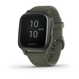 Garmin Venu Sq – Music Edition GPS Smartwatch Moss with Slate Bezel$249.99 ($5.00
) $249.99 ($5.00
)
Garmin Venu Sq – Music Edition GPS Smartwatch Moss with Slate Bezel$249.99 ($5.00
) $249.99 ($5.00
)