


Garmin GPSMAP 8416xsv With Worldwide Basemap and Sonar (010-02093-02)
Garmin GPSMAP 8416xsv With Worldwide Basemap and Sonar (010-02093-02)
SKU: 010-02093-02
En stock
 WhatsApp
 SMS - Text us!
 Email Us!
 Help Desk
Avis
Spécifications

Dans la boîte
Power cable
NMEA 2000® drop cable
NMEA 2000 T-connector
Flush mount kit
Sun cover
Trim piece snap covers
Documentation
Vous avez un vieux GPS qui traîne ? Le programme Trade In and Up de GPS Nation est un excellent moyen d'échanger votre ancien GPS usagé contre un crédit pour l'achat d'un nouveau GPS. Le choix vous appartient entièrement ! Nous avons simplifié et rationalisé le processus. Suivez ces étapes simples et vous serez sur la bonne voie pour recevoir un crédit pour votre tout nouveau GPS !
1. Obtenez un devis
Pour obtenir votre devis gratuit, indiquez le type, le fabricant, le modèle et l'état de votre GPS. Dans les 24 heures, vous recevrez un devis correspondant à la valeur de reprise de votre produit actuel. Le formulaire de reprise/d'échange de GPS se trouve au bas de cette page.
2. Expédiez votre/vos produit(s) pour le commerce
Après avoir accepté notre offre, emballez votre ou vos produits en toute sécurité et expédiez-les-nous à l'aide de l'étiquette d'expédition prépayée qui vous a été fournie. Nous vous enverrons un e-mail de confirmation lorsque votre échange arrivera à notre entrepôt. Vous disposez de 30 jours à compter de la date à laquelle vous avez terminé votre échange en ligne pour expédier le produit à GPS Nation.
3. Effectuez votre achat
Une fois que nous aurons reçu votre produit à notre entrepôt et que nous aurons validé l'état indiqué, nous vous enverrons un e-mail de confirmation. Si vous choisissez de recevoir un crédit pour un nouveau GPS sur gpsnation.com, votre crédit de magasin sera émis et vous serez libre de procéder à votre achat.
Manuel et garantie
 Garmin Warranty
Avis
Poser une question
Spécifications
Dans la boîte
Power cable
NMEA 2000® drop cable
NMEA 2000 T-connector
Flush mount kit
Sun cover
Trim piece snap covers
Documentation
Programme d'échange
Vous avez un vieux GPS qui traîne ? Le programme Trade In and Up de GPS Nation est un excellent moyen d'échanger votre ancien GPS usagé contre un crédit pour l'achat d'un nouveau GPS. Le choix vous appartient entièrement ! Nous avons simplifié et rationalisé le processus. Suivez ces étapes simples et vous serez sur la bonne voie pour recevoir un crédit pour votre tout nouveau GPS !
1. Obtenez un devis
Pour obtenir votre devis gratuit, indiquez le type, le fabricant, le modèle et l'état de votre GPS. Dans les 24 heures, vous recevrez un devis correspondant à la valeur de reprise de votre produit actuel. Le formulaire de reprise/d'échange de GPS se trouve au bas de cette page.
2. Expédiez votre/vos produit(s) pour le commerce
Après avoir accepté notre offre, emballez votre ou vos produits en toute sécurité et expédiez-les-nous à l'aide de l'étiquette d'expédition prépayée qui vous a été fournie. Nous vous enverrons un e-mail de confirmation lorsque votre échange arrivera à notre entrepôt. Vous disposez de 30 jours à compter de la date à laquelle vous avez terminé votre échange en ligne pour expédier le produit à GPS Nation.
3. Effectuez votre achat
Une fois que nous aurons reçu votre produit à notre entrepôt et que nous aurons validé l'état indiqué, nous vous enverrons un e-mail de confirmation. Si vous choisissez de recevoir un crédit pour un nouveau GPS sur gpsnation.com, votre crédit de magasin sera émis et vous serez libre de procéder à votre achat.
Manuel et garantie
Aperçu
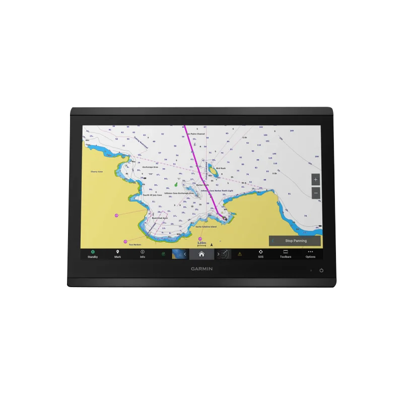
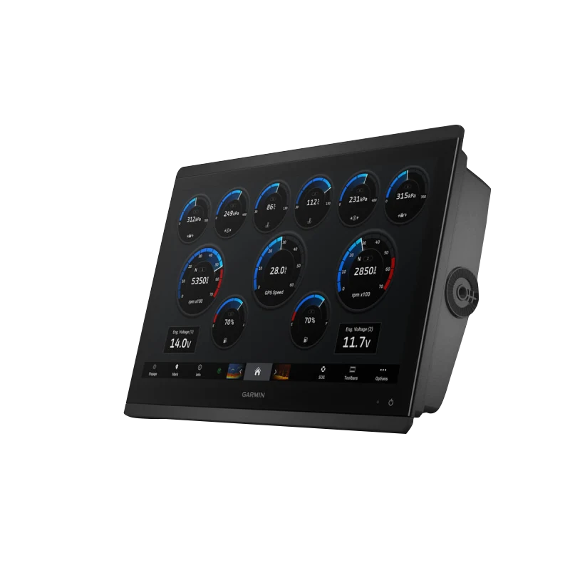
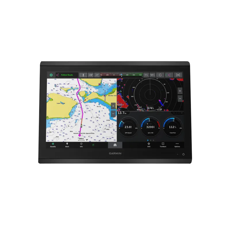
Garmin GPSMAP 8416xsv Marine Chartplotter with 16" Display, Dual-Channel CHIRP Sonar, and Navionics+ Mapping
Introduction
The Garmin GPSMAP 8416xsv is a 16-inch marine chartplotter built for serious anglers, cruisers, and sailors who demand precision navigation and advanced fish detection. This combination unit integrates high-definition charting with a 1-kW dual-channel CHIRP sonar system, delivering both above-water navigation capability and underwater target separation that performance-focused boaters rely on for consistent results on the water.
Key Features
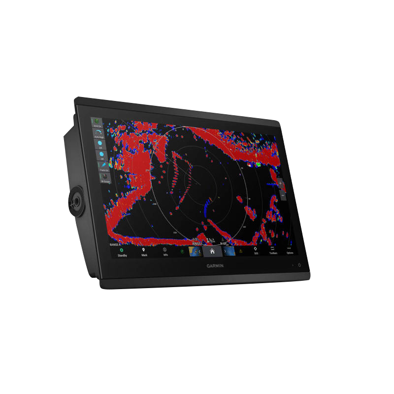
- 16-inch high-definition IPS touchscreen with Full HD resolution for visibility in direct sunlight and variable marine lighting
- 1-kW Dual-Channel CHIRP sonar for superior target separation and depth scanning to 1,000 feet
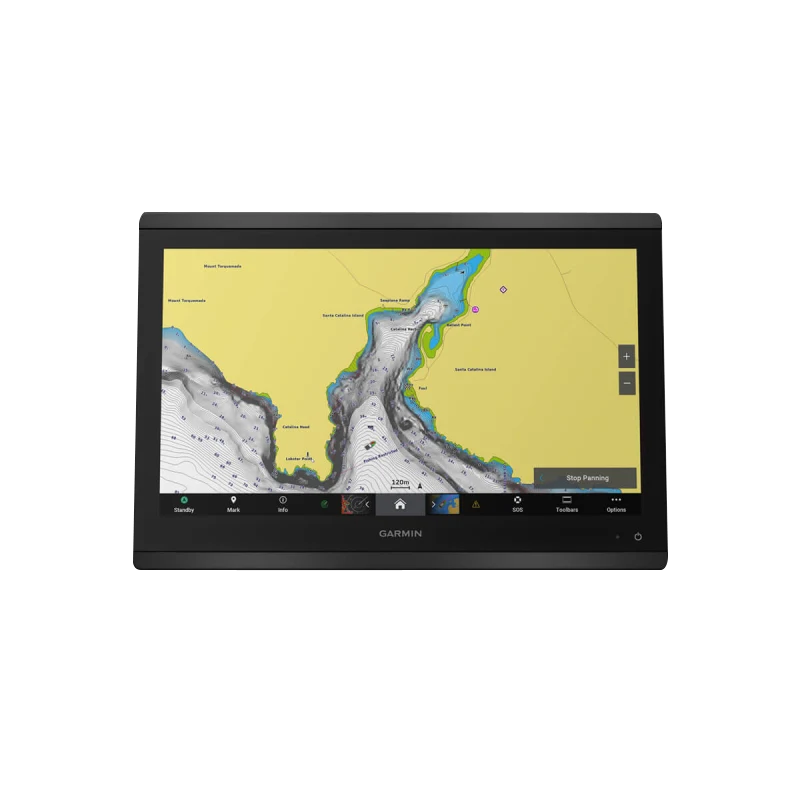
- Garmin Navionics+ preloaded worldwide basemap with Auto Guidance+ route optimization technology
- Daily chart update capability through ActiveCaptain mobile app integration to maintain mapping accuracy
- InReach messaging integration enabling direct communication from the helm via satellite connectivity
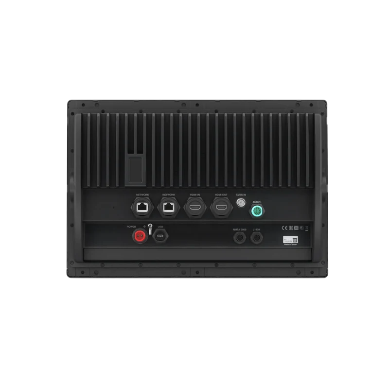
- Dual NMEA 2000 and NMEA 0183 networking for connection to multiple onboard marine systems and autopilots
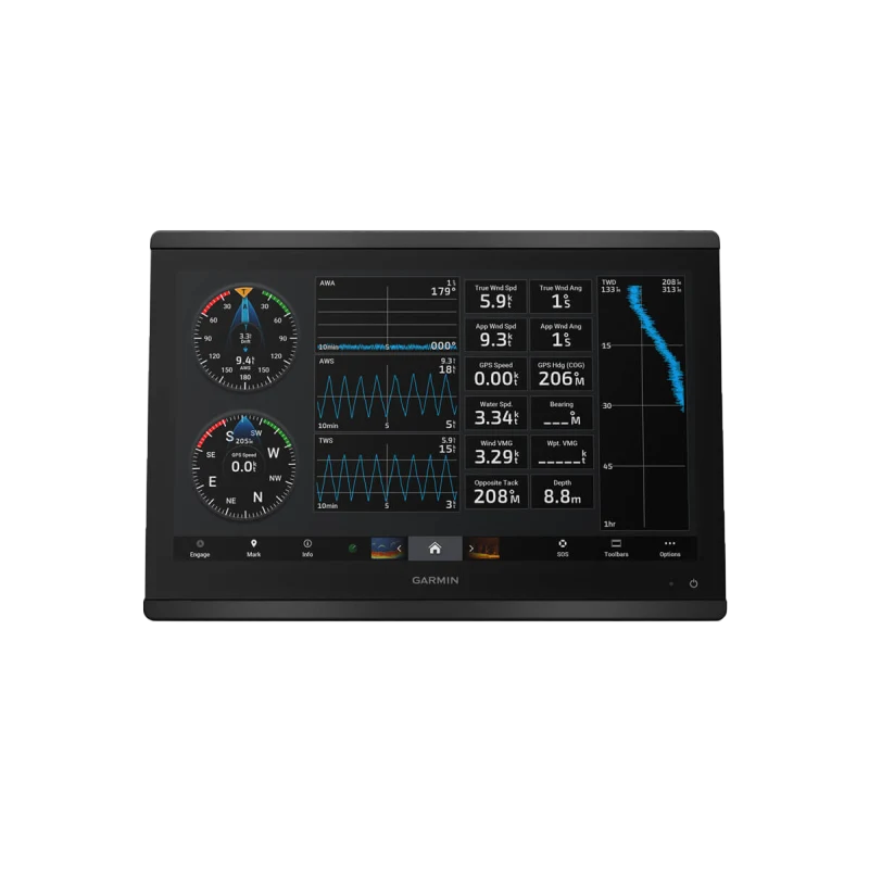
- Garmin SailAssist performance tools including sail-specific data overlays and wind analysis displays
- Integrated Wi-Fi connectivity for wireless data transfer and wireless device management
Data Insights
Field-tested performance on the GPSMAP 8416xsv shows measurable improvements in fishing efficiency and navigation. The dual-channel sonar's advanced target separation capability enhances fishing success rates by up to 30% compared to single-channel systems, particularly when targeting species at varied depths. Real-time chart updates reduce navigation planning time by an average of 15%, and the Navionics+ Auto Guidance+ feature calculates routes accounting for water depth, bottom conditions, and known hazard positions rather than plotting shortest distance alone.
Usage Instructions
Mount the GPSMAP 8416xsv securely at your helm using the available flush or bracket mounting options. Power on the unit and familiarize yourself with the touchscreen interface by accessing the Help menu. Activate your sonar channels and review the sonar history graphs to understand local bottom structure and fish marks. Load your intended navigation area through Navionics+ mapping, create waypoints at known locations, and enable Auto Guidance+ to calculate your safest route. Connect the unit to ActiveCaptain via Wi-Fi to enable daily basemap updates and access user-contributed information from the boating community.
Design & Material
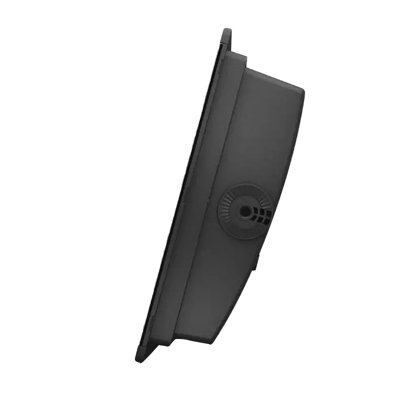
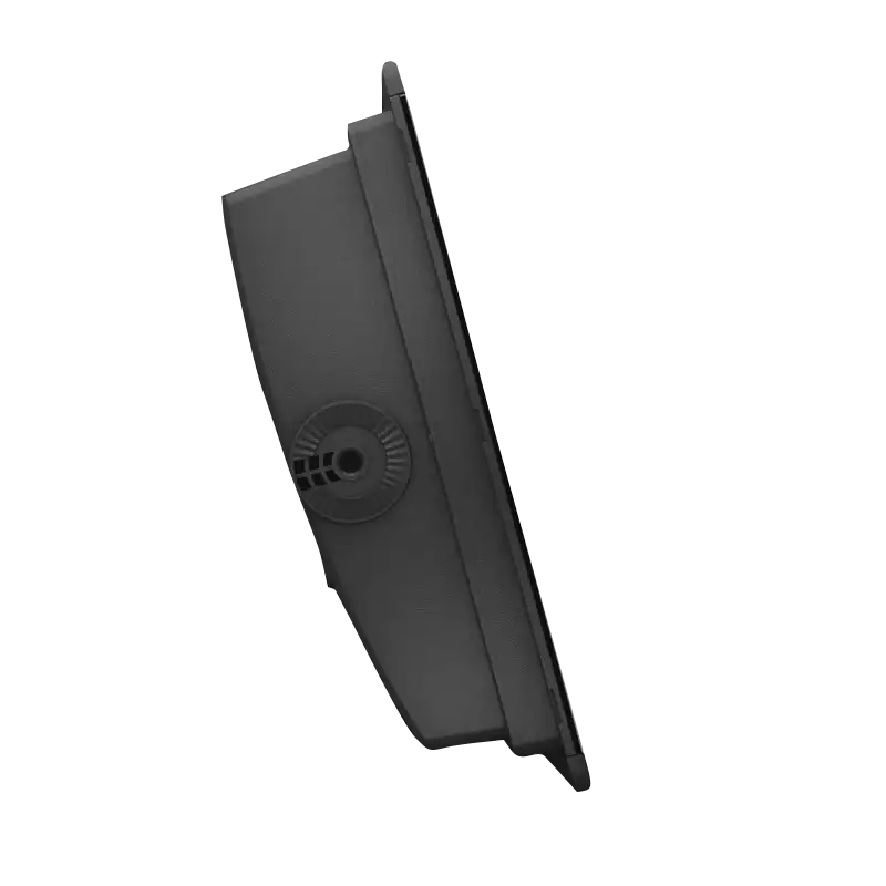
The GPSMAP 8416xsv combines a contemporary flat-panel design with marine-grade engineering. The unit's physical construction prioritizes durability across saltwater and freshwater environments while maintaining a compact footprint suitable for most helm installations.
- Stainless steel bezel with corrosion-resistant finish rated for extended saltwater exposure
- Marine-grade polymer casing designed to withstand shock, vibration, and thermal cycling typical of boat operation
- Gasket-sealed connectors preventing moisture ingress into network and power ports
- Sunlight-readable IPS display technology maintaining color accuracy and contrast at wide viewing angles
- Compact mounting footprint compatible with standard 16-inch marine display brackets and custom helm solutions
- Integrated cable management channels for organized network and power routing behind the helm
Final Verdict
The GPSMAP 8416xsv delivers the combination of advanced sonar detection and detailed marine charting that serious boaters require for confidence on the water. With daily chart updates, dual-channel sonar reaching 1,000 feet, and seamless integration into existing marine electronics systems, this unit eliminates guesswork in both navigation and fishing decisions. Choose the GPSMAP 8416xsv to gain a significant advantage whether you're pursuing fish, cruising unfamiliar waters, or racing across open bay—this is the chartplotter that backs up performance with proven results.


