


Garmin GPSMAP 8616xsv With Mapping and Sonar (010-02093-51)
Garmin GPSMAP 8616xsv With Mapping and Sonar (010-02093-51)
SKU: 010-02093-51
En stock
 WhatsApp
 SMS - Text us!
 Email Us!
 Help Desk
Avis
Spécifications

Dans la boîte
Power cable
NMEA 2000® drop cable
NMEA 2000 T-connector
Flush mount kit
Sun cover
Trim piece snap covers
Documentation
Vous avez un vieux GPS qui traîne ? Le programme Trade In and Up de GPS Nation est un excellent moyen d'échanger votre ancien GPS usagé contre un crédit pour l'achat d'un nouveau GPS. Le choix vous appartient entièrement ! Nous avons simplifié et rationalisé le processus. Suivez ces étapes simples et vous serez sur la bonne voie pour recevoir un crédit pour votre tout nouveau GPS !
1. Obtenez un devis
Pour obtenir votre devis gratuit, indiquez le type, le fabricant, le modèle et l'état de votre GPS. Dans les 24 heures, vous recevrez un devis correspondant à la valeur de reprise de votre produit actuel. Le formulaire de reprise/d'échange de GPS se trouve au bas de cette page.
2. Expédiez votre/vos produit(s) pour le commerce
Après avoir accepté notre offre, emballez votre ou vos produits en toute sécurité et expédiez-les-nous à l'aide de l'étiquette d'expédition prépayée qui vous a été fournie. Nous vous enverrons un e-mail de confirmation lorsque votre échange arrivera à notre entrepôt. Vous disposez de 30 jours à compter de la date à laquelle vous avez terminé votre échange en ligne pour expédier le produit à GPS Nation.
3. Effectuez votre achat
Une fois que nous aurons reçu votre produit à notre entrepôt et que nous aurons validé l'état indiqué, nous vous enverrons un e-mail de confirmation. Si vous choisissez de recevoir un crédit pour un nouveau GPS sur gpsnation.com, votre crédit de magasin sera émis et vous serez libre de procéder à votre achat.
Manuel et garantie
 Garmin Warranty
Avis
Poser une question
Spécifications
Dans la boîte
Power cable
NMEA 2000® drop cable
NMEA 2000 T-connector
Flush mount kit
Sun cover
Trim piece snap covers
Documentation
Programme d'échange
Vous avez un vieux GPS qui traîne ? Le programme Trade In and Up de GPS Nation est un excellent moyen d'échanger votre ancien GPS usagé contre un crédit pour l'achat d'un nouveau GPS. Le choix vous appartient entièrement ! Nous avons simplifié et rationalisé le processus. Suivez ces étapes simples et vous serez sur la bonne voie pour recevoir un crédit pour votre tout nouveau GPS !
1. Obtenez un devis
Pour obtenir votre devis gratuit, indiquez le type, le fabricant, le modèle et l'état de votre GPS. Dans les 24 heures, vous recevrez un devis correspondant à la valeur de reprise de votre produit actuel. Le formulaire de reprise/d'échange de GPS se trouve au bas de cette page.
2. Expédiez votre/vos produit(s) pour le commerce
Après avoir accepté notre offre, emballez votre ou vos produits en toute sécurité et expédiez-les-nous à l'aide de l'étiquette d'expédition prépayée qui vous a été fournie. Nous vous enverrons un e-mail de confirmation lorsque votre échange arrivera à notre entrepôt. Vous disposez de 30 jours à compter de la date à laquelle vous avez terminé votre échange en ligne pour expédier le produit à GPS Nation.
3. Effectuez votre achat
Une fois que nous aurons reçu votre produit à notre entrepôt et que nous aurons validé l'état indiqué, nous vous enverrons un e-mail de confirmation. Si vous choisissez de recevoir un crédit pour un nouveau GPS sur gpsnation.com, votre crédit de magasin sera émis et vous serez libre de procéder à votre achat.
Manuel et garantie
Aperçu
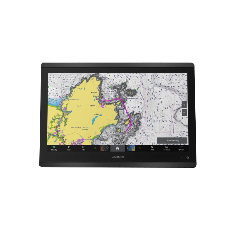
Garmin GPSMAP 8616xsv Marine Chartplotter with CHIRP Sonar and Navionics+ Mapping
Introduction
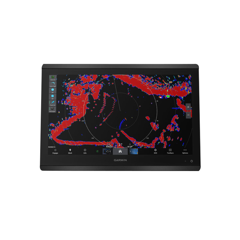
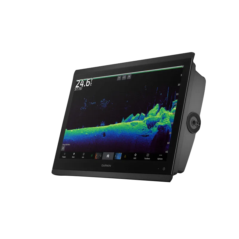
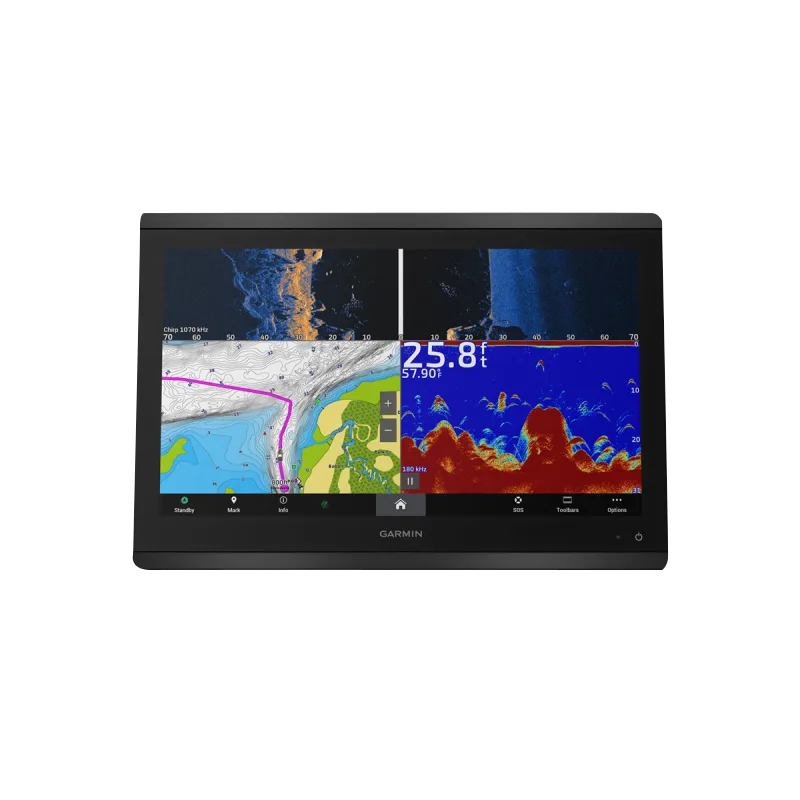
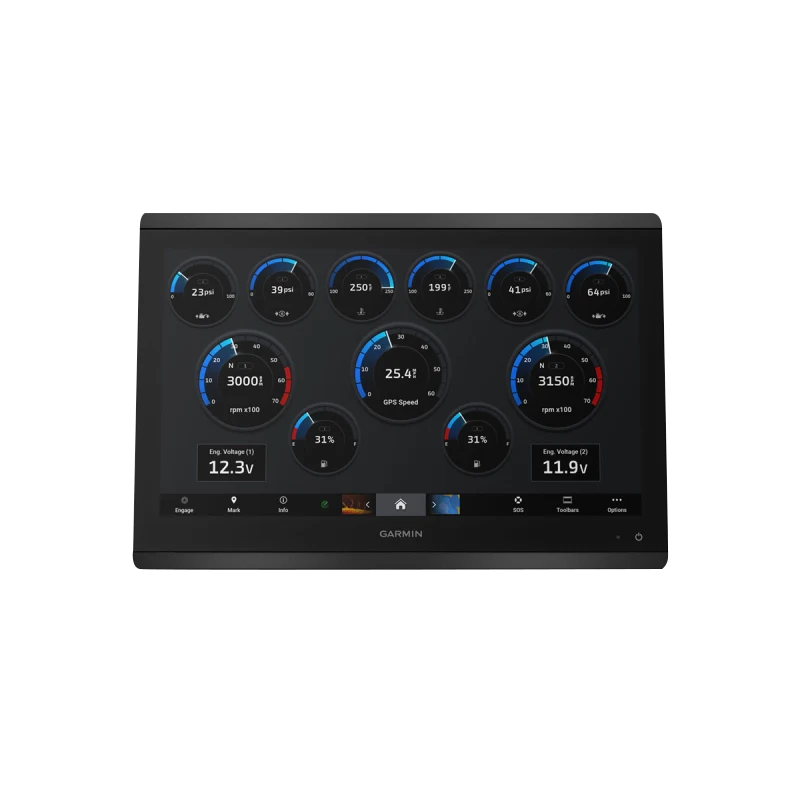
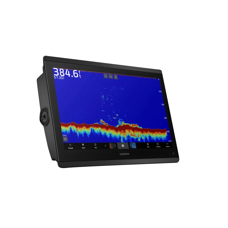
The Garmin GPSMAP 8616xsv combines integrated chartplotting and sonar technology in a 16-inch touchscreen unit built for commercial and recreational mariners who demand real-time underwater visibility and precision navigation. This chartplotter delivers CHIRP sonar scanning capability down to 1,000 feet with ClearVü and SideVü imaging, preloaded Garmin Navionics+ maps, and seamless NMEA 2000 networking for multi-device integration. Whether fishing, racing, cruising, or navigating complex waterways, the 8616xsv provides the situational awareness serious water operators require.
Key Features
- 16-inch Full HD IPS touchscreen with 1920 x 1200 resolution and polarized sunglasses compatibility
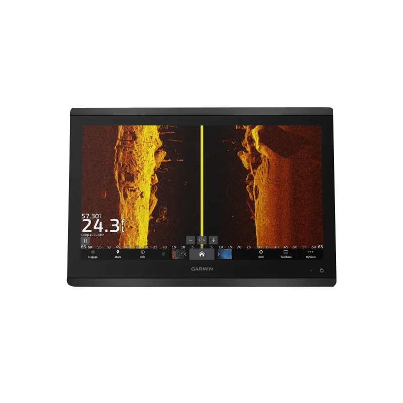
- CHIRP Traditional, ClearVü, and SideVü sonar with scanning depths up to 1,000 feet
- 40% improved target separation over standard sonar for precise fish and structure detection
- Preloaded Garmin Navionics+ maps with daily updates via 1-year subscription included
- Auto Guidance+ route optimization and SailAssist race-start guidance with tide and current overlays
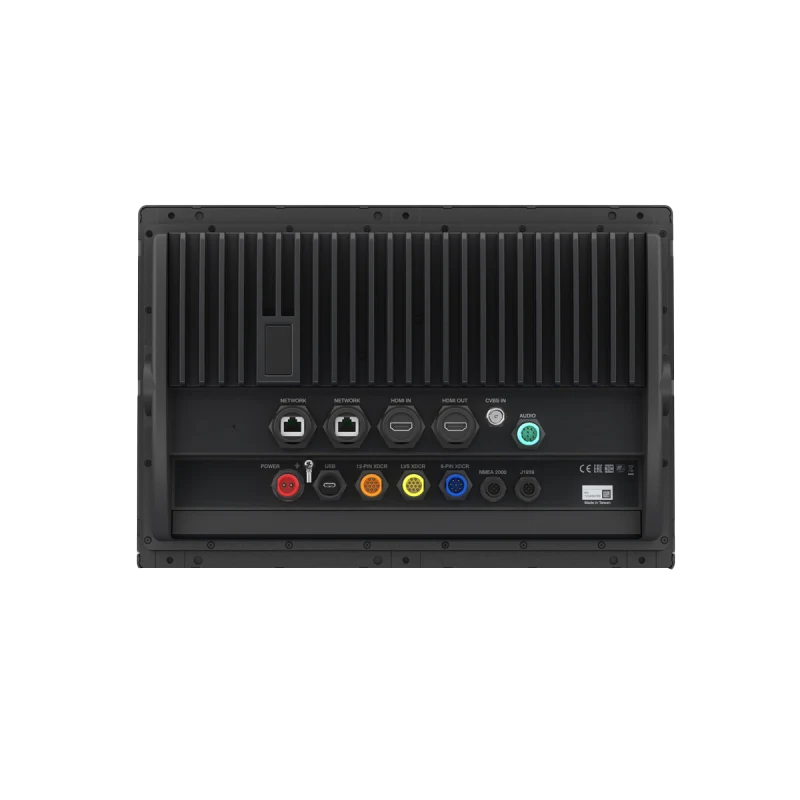
- NMEA 2000 and NMEA 0183 compatibility for integrated marine networks
Data Insights
The 8616xsv's sonar suite achieves industry-leading target separation, enabling anglers and operators to distinguish individual fish and bottom composition with greater precision than conventional single-frequency systems. Real-time ClearVü scanning produces forward-looking sonar imagery while SideVü captures lateral views beneath the hull, creating comprehensive underwater awareness. Map updates maintain accuracy with daily refresh cycles, critical for navigation in areas with shifting bottom topography or updated navigational hazards.
Usage Instructions
Power on the unit and follow the on-screen calibration wizard to configure sonar transducers and map datum settings. Access SailAssist tools and Auto Guidance+ features through the main menu for guided navigation or racing functionality. Connect additional marine devices via NMEA 2000 network ports to share data across your vessel's electronics suite. Update maps regularly through the built-in subscription service to maintain current chart accuracy and route optimization performance.
Design & Material
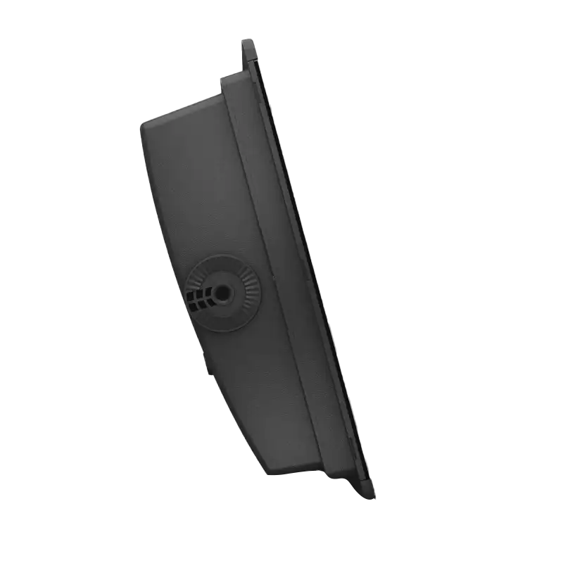
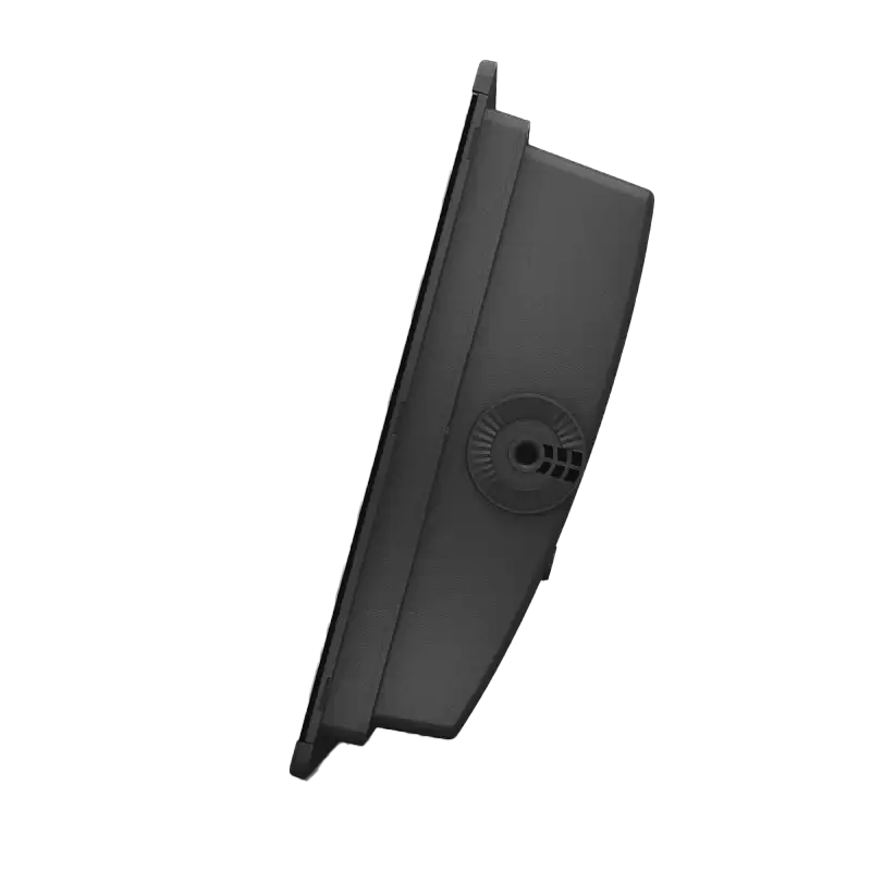
The GPSMAP 8616xsv is engineered as a purpose-built marine display with marine-grade construction and intuitive ergonomics designed for operation in saltwater and freshwater environments. The unit supports both edge-to-edge and flush-mount installation, adapting to various console layouts without compromising durability or aesthetics.
- Marine-grade housing rated for saltwater splash exposure and UV resistance
- Edge-to-edge bezel design minimizes reflections and maximizes viewing area
- Water-resistant construction meets marine electronics environmental standards
- Customizable screen layouts with user-selectable data windows for sonar, navigation, and autopilot control
- Compact footprint designed for mounting in tight console spaces without excessive weight
- Tactile touchscreen responsive in wet conditions and gloved operation
Final Verdict
The Garmin GPSMAP 8616xsv is the integrated sonar and chartplotting solution for operators who depend on accurate underwater imaging and navigation data. With 1,000-foot sonar depth, real-time map updates, and racing-optimized navigation tools, this model eliminates the need for separate devices while providing the visual clarity and accuracy that distinguish professional-grade systems from entry-level units. Install the 8616xsv today to transform your vessel's situational awareness and operational efficiency on the water.


