


Garmin GPSMAP 9219 Premium Chartplotter with Garmin Navionics+ (010-02673-01)
Garmin GPSMAP 9219 Premium Chartplotter with Garmin Navionics+ (010-02673-01)
SKU: 010-02673-01
En stock
 WhatsApp
 SMS - Text us!
 Email Us!
 Help Desk
Avis
Spécifications

Dans la boîte
Trim snap cover
Protective cover
Flush mount hardware
Power cable
GPS 24xd NMEA 2000® (with pole mount, flush mount and under deck mount adapters)
NMEA 2000 backbone/drop cable (2 meters)
NMEA 2000 power cable
NMEA 2000 T-connector and terminator kit
Documentation
Vous avez un vieux GPS qui traîne ? Le programme Trade In and Up de GPS Nation est un excellent moyen d'échanger votre ancien GPS usagé contre un crédit pour l'achat d'un nouveau GPS. Le choix vous appartient entièrement ! Nous avons simplifié et rationalisé le processus. Suivez ces étapes simples et vous serez sur la bonne voie pour recevoir un crédit pour votre tout nouveau GPS !
1. Obtenez un devis
Pour obtenir votre devis gratuit, indiquez le type, le fabricant, le modèle et l'état de votre GPS. Dans les 24 heures, vous recevrez un devis correspondant à la valeur de reprise de votre produit actuel. Le formulaire de reprise/d'échange de GPS se trouve au bas de cette page.
2. Expédiez votre/vos produit(s) pour le commerce
Après avoir accepté notre offre, emballez votre ou vos produits en toute sécurité et expédiez-les-nous à l'aide de l'étiquette d'expédition prépayée qui vous a été fournie. Nous vous enverrons un e-mail de confirmation lorsque votre échange arrivera à notre entrepôt. Vous disposez de 30 jours à compter de la date à laquelle vous avez terminé votre échange en ligne pour expédier le produit à GPS Nation.
3. Effectuez votre achat
Une fois que nous aurons reçu votre produit à notre entrepôt et que nous aurons validé l'état indiqué, nous vous enverrons un e-mail de confirmation. Si vous choisissez de recevoir un crédit pour un nouveau GPS sur gpsnation.com, votre crédit de magasin sera émis et vous serez libre de procéder à votre achat.
Manuel et garantie
 Garmin Warranty
Avis
Poser une question
Spécifications
Dans la boîte
Trim snap cover
Protective cover
Flush mount hardware
Power cable
GPS 24xd NMEA 2000® (with pole mount, flush mount and under deck mount adapters)
NMEA 2000 backbone/drop cable (2 meters)
NMEA 2000 power cable
NMEA 2000 T-connector and terminator kit
Documentation
Programme d'échange
Vous avez un vieux GPS qui traîne ? Le programme Trade In and Up de GPS Nation est un excellent moyen d'échanger votre ancien GPS usagé contre un crédit pour l'achat d'un nouveau GPS. Le choix vous appartient entièrement ! Nous avons simplifié et rationalisé le processus. Suivez ces étapes simples et vous serez sur la bonne voie pour recevoir un crédit pour votre tout nouveau GPS !
1. Obtenez un devis
Pour obtenir votre devis gratuit, indiquez le type, le fabricant, le modèle et l'état de votre GPS. Dans les 24 heures, vous recevrez un devis correspondant à la valeur de reprise de votre produit actuel. Le formulaire de reprise/d'échange de GPS se trouve au bas de cette page.
2. Expédiez votre/vos produit(s) pour le commerce
Après avoir accepté notre offre, emballez votre ou vos produits en toute sécurité et expédiez-les-nous à l'aide de l'étiquette d'expédition prépayée qui vous a été fournie. Nous vous enverrons un e-mail de confirmation lorsque votre échange arrivera à notre entrepôt. Vous disposez de 30 jours à compter de la date à laquelle vous avez terminé votre échange en ligne pour expédier le produit à GPS Nation.
3. Effectuez votre achat
Une fois que nous aurons reçu votre produit à notre entrepôt et que nous aurons validé l'état indiqué, nous vous enverrons un e-mail de confirmation. Si vous choisissez de recevoir un crédit pour un nouveau GPS sur gpsnation.com, votre crédit de magasin sera émis et vous serez libre de procéder à votre achat.
Manuel et garantie
Aperçu
Garmin GPSMAP 9219 Premium 4K Touchscreen Chartplotter with Navionics+ Charts
Introduction
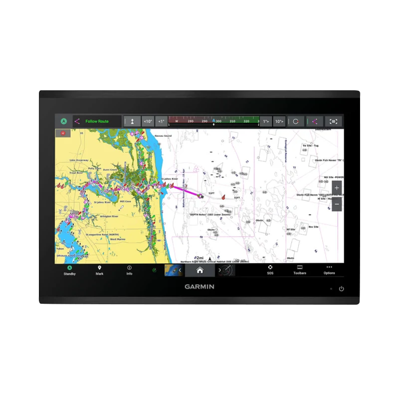
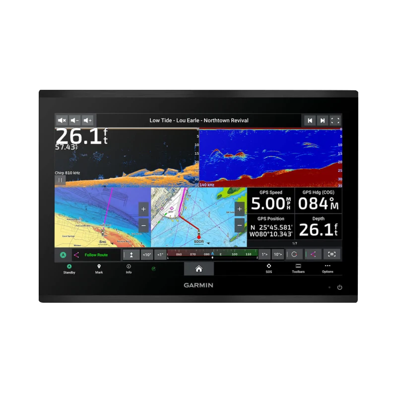
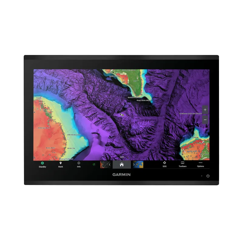
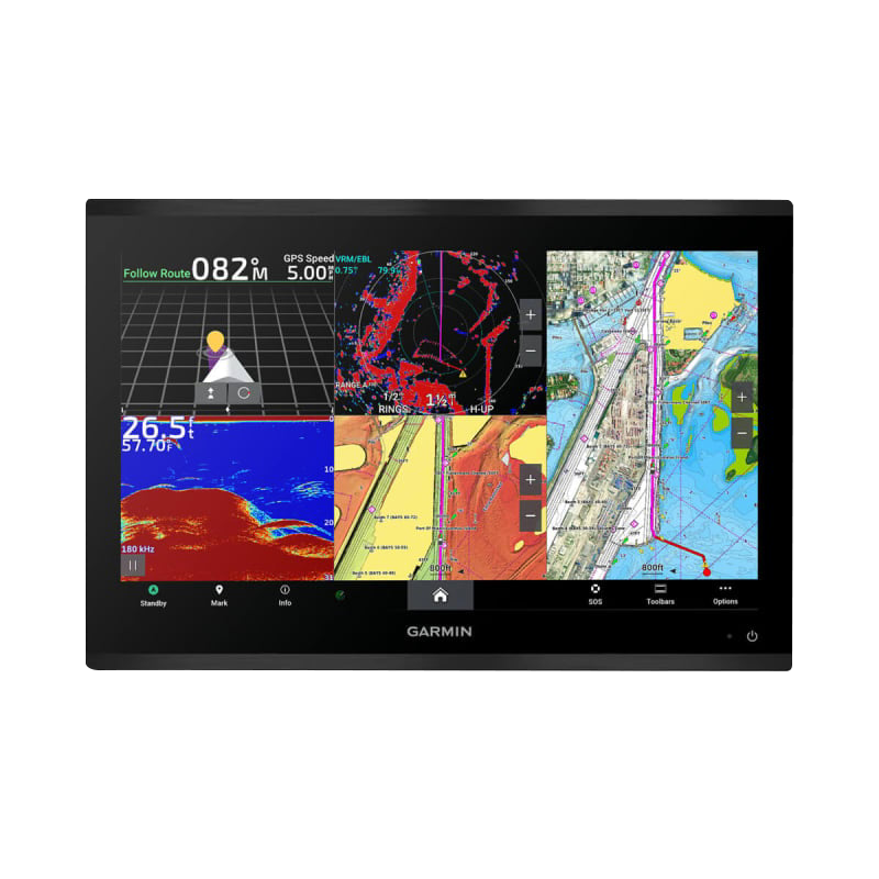
The Garmin GPSMAP 9219 is the marine industry's first integrated 4K touchscreen chartplotter, engineered for professional mariners, commercial operators, and serious fishing enthusiasts who demand precision navigation and real-time underwater visibility. This premium device replaces conventional dual-screen setups with a single 4K IPS display that delivers chart clarity and sonar performance typically found only in separate systems. Built for working vessels and high-end recreational boats, the GPSMAP 9219 cuts operational complexity while expanding capability—processing chart data 7 times faster than previous-generation chartplotters and sharing vessel information 10 times quicker across networked systems.
Key Features
- 4K IPS touchscreen display with edge-to-edge clarity and enhanced sunlight readability for confident operation in all daylight conditions
- 7x faster processor compared to previous models, enabling instantaneous chart loading and Auto Guidance+ route recalculation
- 10x faster networking speed for seamless data synchronization between multiple chartplotters and integrated marine electronics
- IPX7 water resistance rating, designed to survive prolonged submersion and spray-driven marine environments without performance degradation
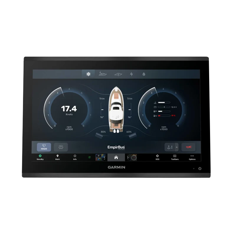
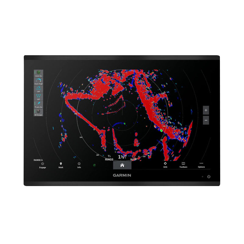
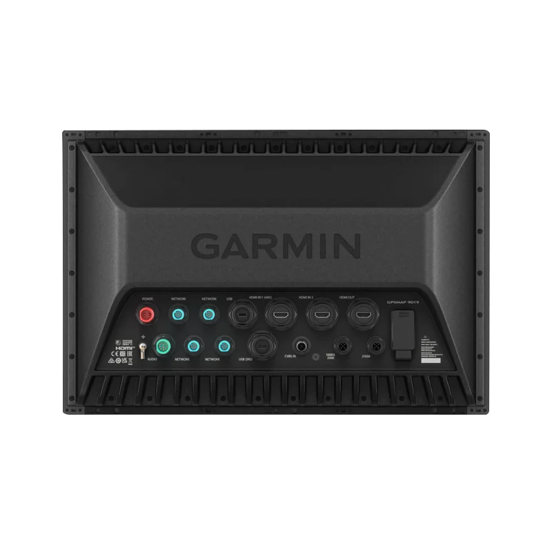
- NMEA 2000 network compatibility for integration with autopilots, radar, sonar transducers, and auxiliary marine systems
- Garmin Navionics+ cartography included, providing detailed mapping and regular chart updates across coastal and inland waters
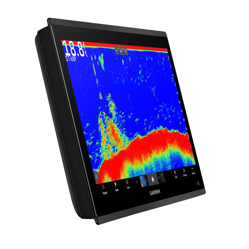
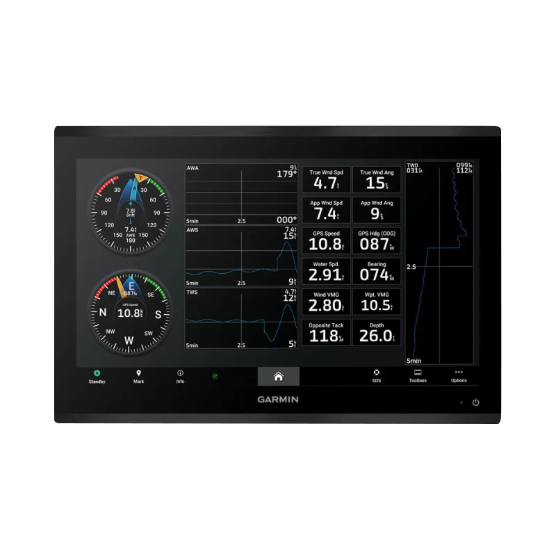
- High-definition sonar integration supporting multiple transducer types for detailed bottom structure and fish-finding capability
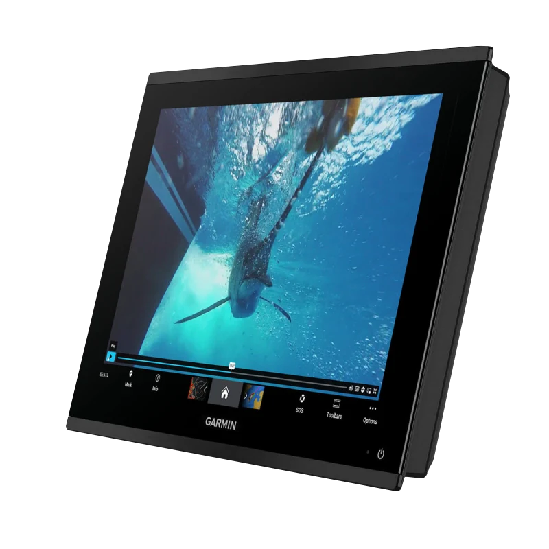
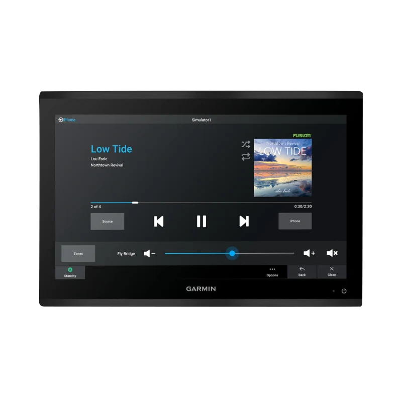
- Integrated audio and video support for on-screen camera feeds, enabling situational awareness around the vessel perimeter
Data Insights
The 7x processing speed advantage translates to real operational efficiency—route calculations that took 3-5 seconds on legacy units now execute in under one second, and chart zooming responds without perceptible lag during dynamic navigation. Networking at 10x speed means data from sonar, GPS, heading sensors, and linked devices updates across the display nearly instantaneously, critical when fish-finding or coordinating multiple helm monitors during commercial or tournament fishing operations. The 4K resolution delivers approximately 4 times the pixel density of 1080p displays at comparable screen sizes, making smaller details—like shallow-water hazards and underwater structures—visible without enlargement that reduces contextual awareness.
Usage Instructions
For optimal performance, load the latest Garmin Navionics+ chart updates before departure. The touchscreen interface controls navigation, sonar display modes, autopilot commands, and system settings; familiarize yourself with the configuration menus before operating in challenging conditions. Pair sonar transducers through the NMEA 2000 backbone and calibrate heading sensors for accurate chart alignment. Integrate backup GPS or radar sensors via NMEA connections to enable watchdog failover and redundant situational awareness during extended offshore passages.
Design & Material
The GPSMAP 9219 consolidates navigation, sonar, and entertainment into a single helm-mounted unit with a design philosophy centered on durability and minimal visual footprint. The chassis is constructed from materials rated for saltwater and UV exposure, with sealed electrical connectors and reinforced edge bezel protecting the display during deck operations. The compact form factor eliminates the space demands of dual-screen systems while the edge-to-edge glass design integrates seamlessly into modern helm architectures.
- Aluminum and polymer composite housing engineered for corrosion resistance in saltwater and brackish environments
- Tempered glass touchscreen surface rated for marine contact cleaners and resistant to scratching from normal deck maintenance
- Sealed NMEA 2000 and ethernet connectors with mechanical locking to prevent accidental disconnection during rough seas
- Integrated sunshade ledge and matte screen coating reducing glare and reflections for enhanced visibility during daylight operation
- Curved rubber overmold on front bezel and mounting points reducing impact stress and providing tactile feedback for button-free control
- Fanless internal design eliminating moving parts and associated marine corrosion failures in the electrical enclosure
Final Verdict
For mariners investing in a single high-confidence navigation and sonar solution, the Garmin GPSMAP 9219 eliminates compromises between chart quality, processing speed, and equipment footprint. The 4K display, 7x processing advantage, and native Navionics+ integration create an operational environment where route planning, obstacle avoidance, and fish-finding happen faster and with greater precision than competitive systems. Whether managing commercial fishing operations, navigating challenging coastal waters, or optimizing a tournament fishing strategy, the GPSMAP 9219 delivers the performance and reliability demanded by professional mariners. Upgrade your helm today and experience the difference integrated 4K technology brings to vessel command and safety.


