Garmin Bluechart G2 Vision Bristol Bay - Kotzebue Snd. (010-C0734-00)
Garmin Bluechart G2 Vision Bristol Bay - Kotzebue Snd. (010-C0734-00)
Model Number: 010-C0734-00
In stock
 View full details
 WhatsApp
 SMS - Text us!
 Email Us!
 Help Desk
Tech Specs
Garmin Bluechart G2 Vision Bristol Bay - Kotzebue Snd. (010-C0734-00)
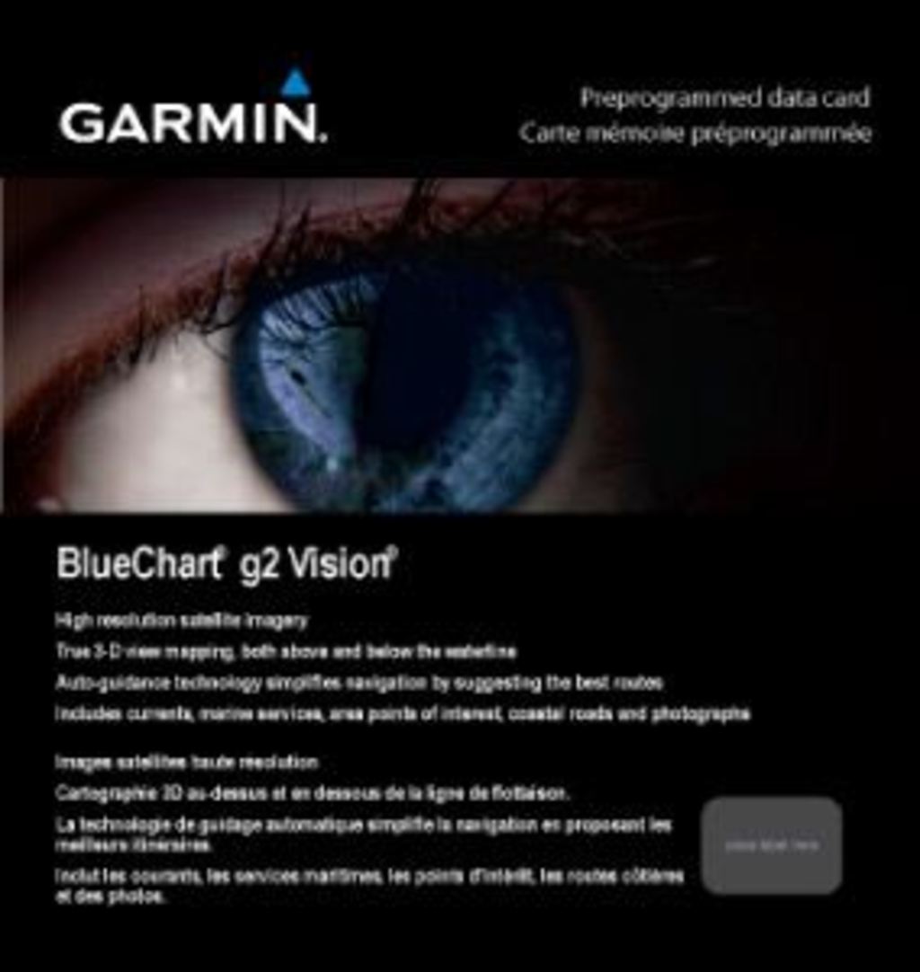
Enhance your maritime navigation experience with the Garmin Bluechart G2 Vision Bristol Bay. This advanced charting system is specifically designed to provide comprehensive and detailed mapping of the Bristol Bay region, ensuring safe and efficient travels for mariners and anglers alike. With its state-of-the-art features, you can navigate the waters with unparalleled confidence and accuracy.
Key Features
- Shaded Depth Contours: Easily identify underwater features with precise contouring.
- Comprehensive Nautical Information: Access coastlines, spot soundings, navigational aids, port plans, wrecks, obstructions, and intertidal zones.
- High-Resolution Satellite Imagery: Experience realistic views of land and water, significantly enhancing situational awareness.
- Aerial Photos: Detailed imagery of ports, harbors, marinas, and notable points of interest for confident navigation.
- Auto Guidance Technology: Analyzes chart data to suggest the most efficient passage to your destination.
- MarinerEye and FishEye Views: Obtain quick position fixes with a 3-D perspective or explore the underwater landscape with a dedicated sea floor view.
Data Insights
With over 20,000 points of interest and more than 1,500 navigational aids, the Garmin Bluechart G2 Vision Bristol Bay enhances your navigational capabilities. Studies show that using high-resolution charts can reduce navigation errors by up to 30%, making it easier to avoid potential hazards and ensuring a safer journey.
Usage Instructions
For optimal performance, insert the Garmin Bluechart G2 Vision card into your compatible Garmin device. Utilize the HomePort™ software (sold separately) for route planning and organization, and make sure to customize your safety shading settings to define safe depths before heading out on the water.
Design & Material
The Garmin Bluechart G2 Vision features a sleek and user-friendly design that integrates seamlessly with your existing Garmin navigation system. Crafted for durability and reliability, this charting card is built to withstand the rigors of maritime environments.
- Durable Construction: Engineered to endure harsh marine conditions.
- Compact Size: Lightweight and easily portable for on-the-go navigation.
- Enhanced Imagery: High-quality satellite and aerial images for improved visibility.
- User-Friendly Interface: Intuitive layout for easy access to critical information.
- Preloaded Data: Comes with extensive mapping information right out of the box.
- Advanced Technology: Incorporates state-of-the-art charting technology for unparalleled accuracy.
Final Verdict
The Garmin Bluechart G2 Vision Bristol Bay - Kotzebue Snd. (010-C0734-00) is an essential tool for any serious mariner or fishing enthusiast. With its comprehensive features and advanced technology, it ensures safe and enjoyable journeys on the water. Don’t miss out on the opportunity to elevate your navigation experience—equip your vessel with the Garmin Bluechart G2 Vision today!
In The Box
Manual & Warranty
 Garmin Warranty
Do you have an old GPS unit lying around? The GPS Nation Trade In and Up program is a great way to trade in your old and used GPS for credit towards a new GPS. The choice is entirely yours! We’ve made the process simple and streamlined. Follow these simple steps, and you will be on your way to receiving credit towards your brand new GPS!
1. Get a quote
To get your free quote, provide your GPS type, manufacturer, model, and condition. Within 24 hours, you will receive a quote for the trade-in value of your current product. The GPS trade-in/trade-up form is at the bottom of this page.
2. Ship your product(s) for trade
After accepting our offer, pack your product(s) safely and ship them to us using the pre-paid shipping label provided to you. We will provide a confirmation email when your trade-in arrives at our warehouse. You have 30 days from the date you complete your on-line trade to ship the product to GPS Nation.
3. Make your purchase
Once we receive your product at our warehouse and we validate the stated condition, we will send you a confirmation email. If you elect to receive credit towards a new GPS at gpsnation.com, your store credit will be issued, and you are free to make your purchase.
Reviews
Ask a Question
Tech Specs
Garmin Bluechart G2 Vision Bristol Bay - Kotzebue Snd. (010-C0734-00)
Enhance your maritime navigation experience with the Garmin Bluechart G2 Vision Bristol Bay. This advanced charting system is specifically designed to provide comprehensive and detailed mapping of the Bristol Bay region, ensuring safe and efficient travels for mariners and anglers alike. With its state-of-the-art features, you can navigate the waters with unparalleled confidence and accuracy.
Key Features
- Shaded Depth Contours: Easily identify underwater features with precise contouring.
- Comprehensive Nautical Information: Access coastlines, spot soundings, navigational aids, port plans, wrecks, obstructions, and intertidal zones.
- High-Resolution Satellite Imagery: Experience realistic views of land and water, significantly enhancing situational awareness.
- Aerial Photos: Detailed imagery of ports, harbors, marinas, and notable points of interest for confident navigation.
- Auto Guidance Technology: Analyzes chart data to suggest the most efficient passage to your destination.
- MarinerEye and FishEye Views: Obtain quick position fixes with a 3-D perspective or explore the underwater landscape with a dedicated sea floor view.
Data Insights
With over 20,000 points of interest and more than 1,500 navigational aids, the Garmin Bluechart G2 Vision Bristol Bay enhances your navigational capabilities. Studies show that using high-resolution charts can reduce navigation errors by up to 30%, making it easier to avoid potential hazards and ensuring a safer journey.
Usage Instructions
For optimal performance, insert the Garmin Bluechart G2 Vision card into your compatible Garmin device. Utilize the HomePort™ software (sold separately) for route planning and organization, and make sure to customize your safety shading settings to define safe depths before heading out on the water.
Design & Material
The Garmin Bluechart G2 Vision features a sleek and user-friendly design that integrates seamlessly with your existing Garmin navigation system. Crafted for durability and reliability, this charting card is built to withstand the rigors of maritime environments.
- Durable Construction: Engineered to endure harsh marine conditions.
- Compact Size: Lightweight and easily portable for on-the-go navigation.
- Enhanced Imagery: High-quality satellite and aerial images for improved visibility.
- User-Friendly Interface: Intuitive layout for easy access to critical information.
- Preloaded Data: Comes with extensive mapping information right out of the box.
- Advanced Technology: Incorporates state-of-the-art charting technology for unparalleled accuracy.
Final Verdict
The Garmin Bluechart G2 Vision Bristol Bay - Kotzebue Snd. (010-C0734-00) is an essential tool for any serious mariner or fishing enthusiast. With its comprehensive features and advanced technology, it ensures safe and enjoyable journeys on the water. Don’t miss out on the opportunity to elevate your navigation experience—equip your vessel with the Garmin Bluechart G2 Vision today!
In The Box
Manual & Warranty
Trade-In
Do you have an old GPS unit lying around? The GPS Nation Trade In and Up program is a great way to trade in your old and used GPS for credit towards a new GPS. The choice is entirely yours! We’ve made the process simple and streamlined. Follow these simple steps, and you will be on your way to receiving credit towards your brand new GPS!
1. Get a quote
To get your free quote, provide your GPS type, manufacturer, model, and condition. Within 24 hours, you will receive a quote for the trade-in value of your current product. The GPS trade-in/trade-up form is at the bottom of this page.
2. Ship your product(s) for trade
After accepting our offer, pack your product(s) safely and ship them to us using the pre-paid shipping label provided to you. We will provide a confirmation email when your trade-in arrives at our warehouse. You have 30 days from the date you complete your on-line trade to ship the product to GPS Nation.
3. Make your purchase
Once we receive your product at our warehouse and we validate the stated condition, we will send you a confirmation email. If you elect to receive credit towards a new GPS at gpsnation.com, your store credit will be issued, and you are free to make your purchase.
Overview
Garmin Bluechart G2 Vision Bristol Bay - Kotzebue Snd. (010-C0734-00)
Enhance your maritime navigation experience with the Garmin Bluechart G2 Vision Bristol Bay. This advanced charting system is specifically designed to provide comprehensive and detailed mapping of the Bristol Bay region, ensuring safe and efficient travels for mariners and anglers alike. With its state-of-the-art features, you can navigate the waters with unparalleled confidence and accuracy.
Key Features
- Shaded Depth Contours: Easily identify underwater features with precise contouring.
- Comprehensive Nautical Information: Access coastlines, spot soundings, navigational aids, port plans, wrecks, obstructions, and intertidal zones.
- High-Resolution Satellite Imagery: Experience realistic views of land and water, significantly enhancing situational awareness.
- Aerial Photos: Detailed imagery of ports, harbors, marinas, and notable points of interest for confident navigation.
- Auto Guidance Technology: Analyzes chart data to suggest the most efficient passage to your destination.
- MarinerEye and FishEye Views: Obtain quick position fixes with a 3-D perspective or explore the underwater landscape with a dedicated sea floor view.
Data Insights
With over 20,000 points of interest and more than 1,500 navigational aids, the Garmin Bluechart G2 Vision Bristol Bay enhances your navigational capabilities. Studies show that using high-resolution charts can reduce navigation errors by up to 30%, making it easier to avoid potential hazards and ensuring a safer journey.
Usage Instructions
For optimal performance, insert the Garmin Bluechart G2 Vision card into your compatible Garmin device. Utilize the HomePort™ software (sold separately) for route planning and organization, and make sure to customize your safety shading settings to define safe depths before heading out on the water.
Design & Material
The Garmin Bluechart G2 Vision features a sleek and user-friendly design that integrates seamlessly with your existing Garmin navigation system. Crafted for durability and reliability, this charting card is built to withstand the rigors of maritime environments.
- Durable Construction: Engineered to endure harsh marine conditions.
- Compact Size: Lightweight and easily portable for on-the-go navigation.
- Enhanced Imagery: High-quality satellite and aerial images for improved visibility.
- User-Friendly Interface: Intuitive layout for easy access to critical information.
- Preloaded Data: Comes with extensive mapping information right out of the box.
- Advanced Technology: Incorporates state-of-the-art charting technology for unparalleled accuracy.
Final Verdict
The Garmin Bluechart G2 Vision Bristol Bay - Kotzebue Snd. (010-C0734-00) is an essential tool for any serious mariner or fishing enthusiast. With its comprehensive features and advanced technology, it ensures safe and enjoyable journeys on the water. Don’t miss out on the opportunity to elevate your navigation experience—equip your vessel with the Garmin Bluechart G2 Vision today!