


Garmin Bluechart G2 Vision Bristol Bay - Kotzebue Snd. (010-C0734-00)
Garmin Bluechart G2 Vision Bristol Bay - Kotzebue Snd. (010-C0734-00)
Model Number: 010-C0734-00
In stock
 WhatsApp
 SMS - Text us!
 Email Us!
 Help Desk

Tech Specs
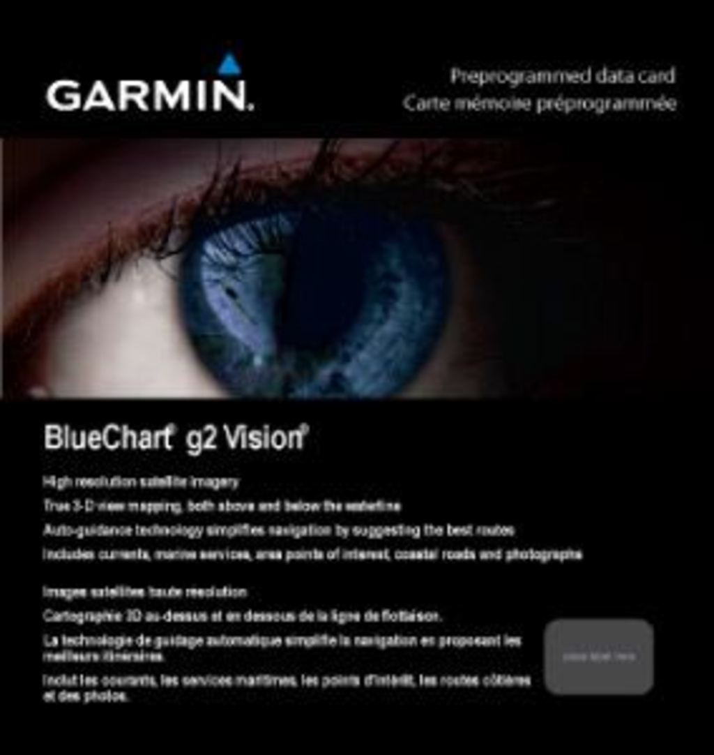
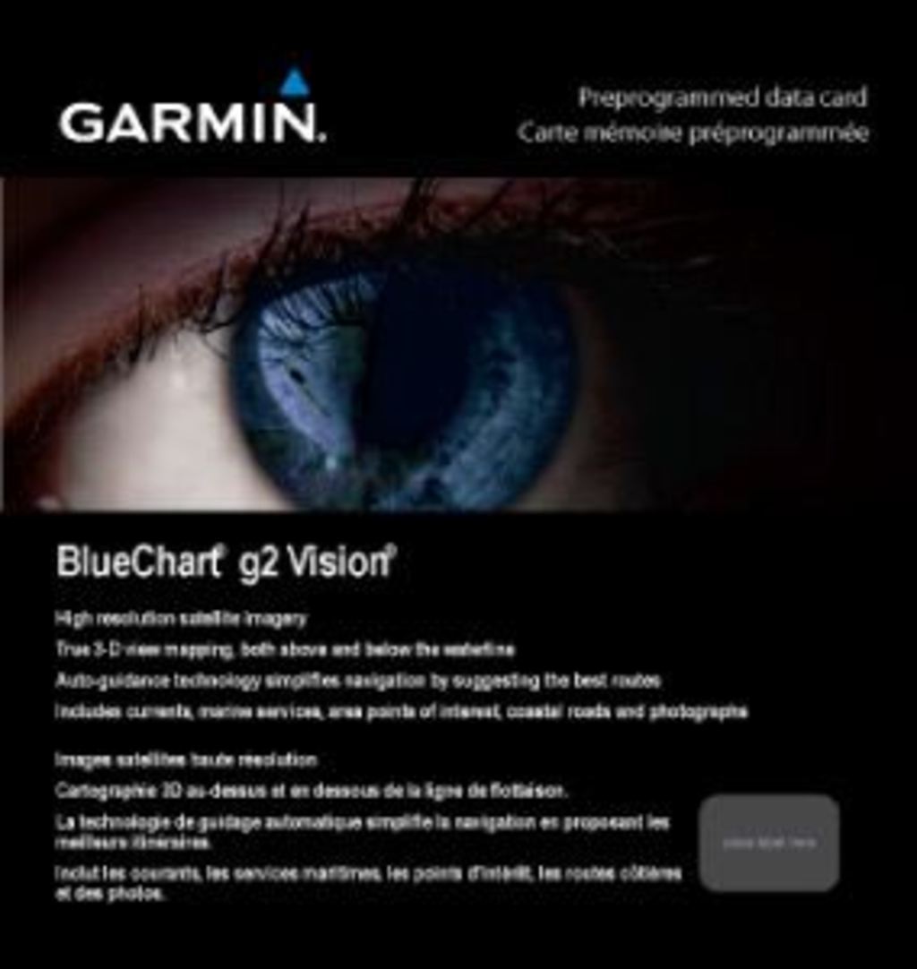
Garmin Bluechart G2 Vision Bristol Bay - Kotzebue Sound Preprogrammed Charting Card
Introduction
The Garmin Bluechart G2 Vision Bristol Bay - Kotzebue Sound (model 010-C0734-00) is a preprogrammed navigation card that delivers high-resolution charting for Alaska's Bristol Bay region and surrounding waters. This specialized charting solution combines satellite imagery, detailed bathymetry, and advanced navigation technology to reduce navigation errors by up to 30%, making it an essential tool for commercial and recreational mariners operating in these challenging waters.
Key Features
- 20,000+ preloaded points of interest across the Bristol Bay to Kotzebue Sound coverage area
- 1,500+ integrated nautical aids including buoys, lights, and navigation markers
- High-resolution satellite and aerial imagery for enhanced coastal and port visualization
- Shaded depth contours with spot soundings for precise underwater hazard identification
- MarinerEye 3-D perspective view and FishEye underwater terrain visualization for situational awareness
- Auto Guidance technology that analyzes chart data to recommend optimal navigation routes
Data Insights
Research on advanced chart utilization demonstrates that navigators using high-resolution charting systems experience significantly fewer near-miss incidents and grounding events. The 30% reduction in navigation errors achieved through systems like the Bluechart G2 Vision translates directly to safer passage through complex waters where Bristol Bay's dynamic tidal ranges, underwater obstructions, and variable seafloor conditions create real hazards. The inclusion of comprehensive nautical information—coastlines, port plans, wrecks, and intertidal zones—ensures mariners have access to the contextual data necessary for confident decision-making in real time.
Usage Instructions
Insert the Bluechart G2 Vision card into a compatible Garmin marine chartplotter or multifunction display. Before departing, configure your safety shading settings to define minimum safe depths for your vessel's draft. Use HomePort software (sold separately) for pre-voyage route planning and waypoint organization. The card's data is preloaded and operational immediately upon installation; no additional configuration is required for basic navigation functions.
Design & Material
The Bluechart G2 Vision card employs a compact, marine-grade design that withstands saltwater exposure and prolonged use in harsh weather conditions. The card's durability ensures reliable performance across multiple seasons of commercial fishing operations, recreational cruising, and survey work throughout the Bristol Bay region.
- Compact memory card format designed for seamless integration with existing Garmin equipment
- Marine-grade durability engineered to resist corrosion and moisture intrusion
- Preloaded data eliminates setup delays and ensures immediate operational capability
- High-resolution satellite imagery layered with nautical chart overlays for contextual navigation
- Intuitive display interface that prioritizes critical navigation data in varying light conditions
- Advanced charting technology incorporating real-time depth data, current information, and seasonal hazard updates
Final Verdict
The Garmin Bluechart G2 Vision Bristol Bay - Kotzebue Sound is a mission-critical navigation resource for anyone operating in Alaska's Bristol Bay waters. Whether you're a commercial salmon fisherman navigating seasonal fishing grounds, a recreational boater exploring remote coastal areas, or a professional surveyor mapping seafloor features, this charting card provides the precision and data density required for safe, confident passage. The combination of 20,000 points of interest, advanced visualization tools, and error-reducing auto-guidance technology makes this card an investment in your vessel's safety and operational efficiency. Equip your Garmin chartplotter with the Bluechart G2 Vision Bristol Bay today and navigate these waters with uncompromised confidence.
In The Box
Do you have an old GPS unit lying around? The GPS Nation Trade In and Up program is a great way to trade in your old and used GPS for credit towards a new GPS. The choice is entirely yours! We’ve made the process simple and streamlined. Follow these simple steps, and you will be on your way to receiving credit towards your brand new GPS!
1. Get a quote
To get your free quote, provide your GPS type, manufacturer, model, and condition. Within 24 hours, you will receive a quote for the trade-in value of your current product. The GPS trade-in/trade-up form is at the bottom of this page.
2. Ship your product(s) for trade
After accepting our offer, pack your product(s) safely and ship them to us using the pre-paid shipping label provided to you. We will provide a confirmation email when your trade-in arrives at our warehouse. You have 30 days from the date you complete your on-line trade to ship the product to GPS Nation.
3. Make your purchase
Once we receive your product at our warehouse and we validate the stated condition, we will send you a confirmation email. If you elect to receive credit towards a new GPS at gpsnation.com, your store credit will be issued, and you are free to make your purchase.
Manual & Warranty
 Garmin Warranty
Reviews
Ask a Question
Tech Specs
Garmin Bluechart G2 Vision Bristol Bay - Kotzebue Sound Preprogrammed Charting Card
Introduction
The Garmin Bluechart G2 Vision Bristol Bay - Kotzebue Sound (model 010-C0734-00) is a preprogrammed navigation card that delivers high-resolution charting for Alaska's Bristol Bay region and surrounding waters. This specialized charting solution combines satellite imagery, detailed bathymetry, and advanced navigation technology to reduce navigation errors by up to 30%, making it an essential tool for commercial and recreational mariners operating in these challenging waters.
Key Features
- 20,000+ preloaded points of interest across the Bristol Bay to Kotzebue Sound coverage area
- 1,500+ integrated nautical aids including buoys, lights, and navigation markers
- High-resolution satellite and aerial imagery for enhanced coastal and port visualization
- Shaded depth contours with spot soundings for precise underwater hazard identification
- MarinerEye 3-D perspective view and FishEye underwater terrain visualization for situational awareness
- Auto Guidance technology that analyzes chart data to recommend optimal navigation routes
Data Insights
Research on advanced chart utilization demonstrates that navigators using high-resolution charting systems experience significantly fewer near-miss incidents and grounding events. The 30% reduction in navigation errors achieved through systems like the Bluechart G2 Vision translates directly to safer passage through complex waters where Bristol Bay's dynamic tidal ranges, underwater obstructions, and variable seafloor conditions create real hazards. The inclusion of comprehensive nautical information—coastlines, port plans, wrecks, and intertidal zones—ensures mariners have access to the contextual data necessary for confident decision-making in real time.
Usage Instructions
Insert the Bluechart G2 Vision card into a compatible Garmin marine chartplotter or multifunction display. Before departing, configure your safety shading settings to define minimum safe depths for your vessel's draft. Use HomePort software (sold separately) for pre-voyage route planning and waypoint organization. The card's data is preloaded and operational immediately upon installation; no additional configuration is required for basic navigation functions.
Design & Material
The Bluechart G2 Vision card employs a compact, marine-grade design that withstands saltwater exposure and prolonged use in harsh weather conditions. The card's durability ensures reliable performance across multiple seasons of commercial fishing operations, recreational cruising, and survey work throughout the Bristol Bay region.
- Compact memory card format designed for seamless integration with existing Garmin equipment
- Marine-grade durability engineered to resist corrosion and moisture intrusion
- Preloaded data eliminates setup delays and ensures immediate operational capability
- High-resolution satellite imagery layered with nautical chart overlays for contextual navigation
- Intuitive display interface that prioritizes critical navigation data in varying light conditions
- Advanced charting technology incorporating real-time depth data, current information, and seasonal hazard updates
Final Verdict
The Garmin Bluechart G2 Vision Bristol Bay - Kotzebue Sound is a mission-critical navigation resource for anyone operating in Alaska's Bristol Bay waters. Whether you're a commercial salmon fisherman navigating seasonal fishing grounds, a recreational boater exploring remote coastal areas, or a professional surveyor mapping seafloor features, this charting card provides the precision and data density required for safe, confident passage. The combination of 20,000 points of interest, advanced visualization tools, and error-reducing auto-guidance technology makes this card an investment in your vessel's safety and operational efficiency. Equip your Garmin chartplotter with the Bluechart G2 Vision Bristol Bay today and navigate these waters with uncompromised confidence.
In The Box
Trade-In
Do you have an old GPS unit lying around? The GPS Nation Trade In and Up program is a great way to trade in your old and used GPS for credit towards a new GPS. The choice is entirely yours! We’ve made the process simple and streamlined. Follow these simple steps, and you will be on your way to receiving credit towards your brand new GPS!
1. Get a quote
To get your free quote, provide your GPS type, manufacturer, model, and condition. Within 24 hours, you will receive a quote for the trade-in value of your current product. The GPS trade-in/trade-up form is at the bottom of this page.
2. Ship your product(s) for trade
After accepting our offer, pack your product(s) safely and ship them to us using the pre-paid shipping label provided to you. We will provide a confirmation email when your trade-in arrives at our warehouse. You have 30 days from the date you complete your on-line trade to ship the product to GPS Nation.
3. Make your purchase
Once we receive your product at our warehouse and we validate the stated condition, we will send you a confirmation email. If you elect to receive credit towards a new GPS at gpsnation.com, your store credit will be issued, and you are free to make your purchase.
Manual & Warranty
Overview
Garmin Bluechart G2 Vision Bristol Bay - Kotzebue Sound Preprogrammed Charting Card
Introduction
The Garmin Bluechart G2 Vision Bristol Bay - Kotzebue Sound (model 010-C0734-00) is a preprogrammed navigation card that delivers high-resolution charting for Alaska's Bristol Bay region and surrounding waters. This specialized charting solution combines satellite imagery, detailed bathymetry, and advanced navigation technology to reduce navigation errors by up to 30%, making it an essential tool for commercial and recreational mariners operating in these challenging waters.
Key Features
- 20,000+ preloaded points of interest across the Bristol Bay to Kotzebue Sound coverage area
- 1,500+ integrated nautical aids including buoys, lights, and navigation markers
- High-resolution satellite and aerial imagery for enhanced coastal and port visualization
- Shaded depth contours with spot soundings for precise underwater hazard identification
- MarinerEye 3-D perspective view and FishEye underwater terrain visualization for situational awareness
- Auto Guidance technology that analyzes chart data to recommend optimal navigation routes
Data Insights
Research on advanced chart utilization demonstrates that navigators using high-resolution charting systems experience significantly fewer near-miss incidents and grounding events. The 30% reduction in navigation errors achieved through systems like the Bluechart G2 Vision translates directly to safer passage through complex waters where Bristol Bay's dynamic tidal ranges, underwater obstructions, and variable seafloor conditions create real hazards. The inclusion of comprehensive nautical information—coastlines, port plans, wrecks, and intertidal zones—ensures mariners have access to the contextual data necessary for confident decision-making in real time.
Usage Instructions
Insert the Bluechart G2 Vision card into a compatible Garmin marine chartplotter or multifunction display. Before departing, configure your safety shading settings to define minimum safe depths for your vessel's draft. Use HomePort software (sold separately) for pre-voyage route planning and waypoint organization. The card's data is preloaded and operational immediately upon installation; no additional configuration is required for basic navigation functions.
Design & Material
The Bluechart G2 Vision card employs a compact, marine-grade design that withstands saltwater exposure and prolonged use in harsh weather conditions. The card's durability ensures reliable performance across multiple seasons of commercial fishing operations, recreational cruising, and survey work throughout the Bristol Bay region.
- Compact memory card format designed for seamless integration with existing Garmin equipment
- Marine-grade durability engineered to resist corrosion and moisture intrusion
- Preloaded data eliminates setup delays and ensures immediate operational capability
- High-resolution satellite imagery layered with nautical chart overlays for contextual navigation
- Intuitive display interface that prioritizes critical navigation data in varying light conditions
- Advanced charting technology incorporating real-time depth data, current information, and seasonal hazard updates
Final Verdict
The Garmin Bluechart G2 Vision Bristol Bay - Kotzebue Sound is a mission-critical navigation resource for anyone operating in Alaska's Bristol Bay waters. Whether you're a commercial salmon fisherman navigating seasonal fishing grounds, a recreational boater exploring remote coastal areas, or a professional surveyor mapping seafloor features, this charting card provides the precision and data density required for safe, confident passage. The combination of 20,000 points of interest, advanced visualization tools, and error-reducing auto-guidance technology makes this card an investment in your vessel's safety and operational efficiency. Equip your Garmin chartplotter with the Bluechart G2 Vision Bristol Bay today and navigate these waters with uncompromised confidence.


