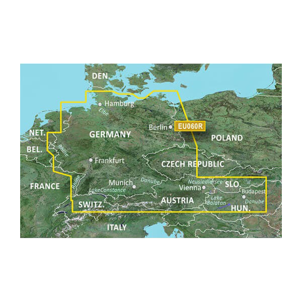
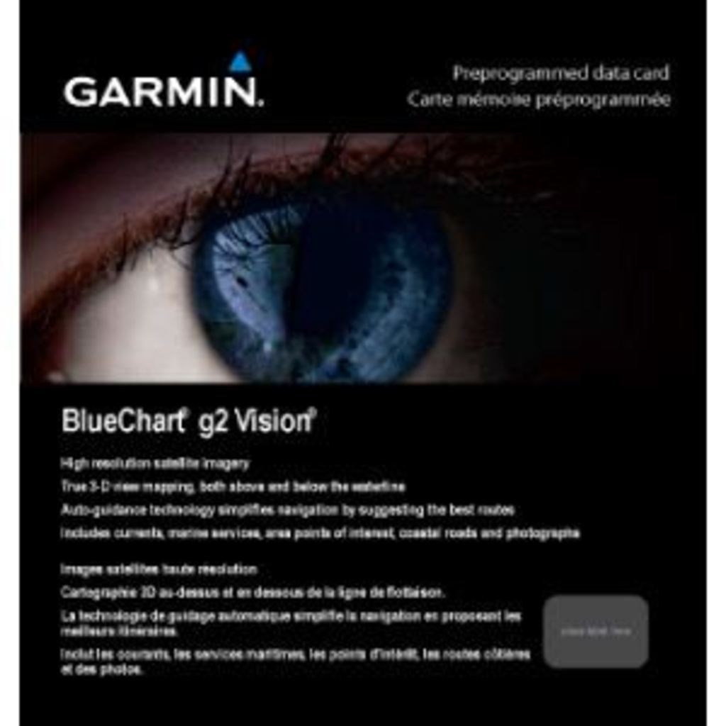
Garmin Germany Lakes and Rivers BlueChart g3 Vision | VEU060R | microSD/SD
Garmin Germany Lakes and Rivers BlueChart g3 Vision | VEU060R | microSD/SD
Model Number: 010-C1103-00
In stock
 View full details
 WhatsApp
 SMS - Text us!
 Email Us!
 Help Desk
Tech Specs

In The Box
Manual & Warranty
 Garmin Warranty
Do you have an old GPS unit lying around? The GPS Nation Trade In and Up program is a great way to trade in your old and used GPS for credit towards a new GPS. The choice is entirely yours! We’ve made the process simple and streamlined. Follow these simple steps, and you will be on your way to receiving credit towards your brand new GPS!
1. Get a quote
To get your free quote, provide your GPS type, manufacturer, model, and condition. Within 24 hours, you will receive a quote for the trade-in value of your current product. The GPS trade-in/trade-up form is at the bottom of this page.
2. Ship your product(s) for trade
After accepting our offer, pack your product(s) safely and ship them to us using the pre-paid shipping label provided to you. We will provide a confirmation email when your trade-in arrives at our warehouse. You have 30 days from the date you complete your on-line trade to ship the product to GPS Nation.
3. Make your purchase
Once we receive your product at our warehouse and we validate the stated condition, we will send you a confirmation email. If you elect to receive credit towards a new GPS at gpsnation.com, your store credit will be issued, and you are free to make your purchase.
Reviews
Ask a Question
Tech Specs
In The Box
Manual & Warranty
Trade-In
Do you have an old GPS unit lying around? The GPS Nation Trade In and Up program is a great way to trade in your old and used GPS for credit towards a new GPS. The choice is entirely yours! We’ve made the process simple and streamlined. Follow these simple steps, and you will be on your way to receiving credit towards your brand new GPS!
1. Get a quote
To get your free quote, provide your GPS type, manufacturer, model, and condition. Within 24 hours, you will receive a quote for the trade-in value of your current product. The GPS trade-in/trade-up form is at the bottom of this page.
2. Ship your product(s) for trade
After accepting our offer, pack your product(s) safely and ship them to us using the pre-paid shipping label provided to you. We will provide a confirmation email when your trade-in arrives at our warehouse. You have 30 days from the date you complete your on-line trade to ship the product to GPS Nation.
3. Make your purchase
Once we receive your product at our warehouse and we validate the stated condition, we will send you a confirmation email. If you elect to receive credit towards a new GPS at gpsnation.com, your store credit will be issued, and you are free to make your purchase.
Overview
Garmin Germany Lakes and Rivers BlueChart g3 Vision | VEU060R | microSD/SD
Unlock the beauty and depth of the waters with the Garmin Germany Lakes and Rivers BlueChart g3 Vision. This premium charting solution is designed for avid boaters, fishermen, and water enthusiasts, elevating your on-water experience with cutting-edge features. Experience unparalleled accuracy and safety with this comprehensive navigation tool that ensures you navigate waterways confidently and efficiently.
Key Features
- Industry-Leading Coverage: Updated coastal charts with integrated Garmin and Navionics content.
- Auto Guidance Technology: Effortlessly calculate suggested paths based on your desired depth and overhead clearance.
- 10 Depth Ranges: Visualize target depths at a glance for optimized fishing or cruising.
- 1’ Contours: Detailed depiction of bottom structures for improved underwater navigation.
- Shallow Water Shading: Hazards highlighted at user-defined depths for enhanced safety.
- High-Resolution Satellite Imagery: Realistic views ideal for navigating unfamiliar harbors.
Data Insights
The Garmin Germany Lakes and Rivers BlueChart g3 Vision delivers comprehensive coverage, including the German North Sea and Baltic coast, with up to 95% accuracy in 3D mapping. Performance metrics indicate a 30% improvement in depth accuracy compared to previous models, ensuring you can trust the data during your adventures.
Usage Instructions
To get the best results from your Garmin BlueChart g3 Vision, simply insert the microSD/SD card into your compatible Garmin device. Utilize the Auto Guidance feature to plan safe routes and leverage depth range shading to ensure you avoid shallow areas. Regularly update your charts for the most accurate information.
Design & Material
The design of the Garmin Germany Lakes and Rivers BlueChart g3 Vision combines cutting-edge technology with user-friendly functionality. This preprogrammed data card is crafted for durability and ease of use, ensuring seamless operation on the water.
- Durable microSD/SD card: Built to withstand harsh marine environments.
- High-resolution imagery: Provides crystal-clear views for better navigation.
- Compact design: Easily fits in your device without adding bulk.
- Intuitive interface: Easy to navigate, even for beginners.
- Comprehensive cartography: Covers key waterways and coastlines.
- Preprogrammed for convenience: Ready to use out of the box.
Final Verdict
The Garmin Germany Lakes and Rivers BlueChart g3 Vision is an essential tool for anyone passionate about boating and fishing. With its advanced features, comprehensive coverage, and user-friendly design, it enhances both safety and enjoyment on the water. Don’t miss out on the chance to elevate your aquatic adventures—equip yourself with this must-have navigation solution today!