


Garmin Bluechart G2 Vision Indian Subcontinent (010-C0755-00)
Garmin Bluechart G2 Vision Indian Subcontinent (010-C0755-00)
Model Number: 010-C0755-00
In stock
 WhatsApp
 SMS - Text us!
 Email Us!
 Help Desk

Tech Specs

In The Box
Bluechart G2 Vision Indian Subcontinent
Do you have an old GPS unit lying around? The GPS Nation Trade In and Up program is a great way to trade in your old and used GPS for credit towards a new GPS. The choice is entirely yours! We’ve made the process simple and streamlined. Follow these simple steps, and you will be on your way to receiving credit towards your brand new GPS!
1. Get a quote
To get your free quote, provide your GPS type, manufacturer, model, and condition. Within 24 hours, you will receive a quote for the trade-in value of your current product. The GPS trade-in/trade-up form is at the bottom of this page.
2. Ship your product(s) for trade
After accepting our offer, pack your product(s) safely and ship them to us using the pre-paid shipping label provided to you. We will provide a confirmation email when your trade-in arrives at our warehouse. You have 30 days from the date you complete your on-line trade to ship the product to GPS Nation.
3. Make your purchase
Once we receive your product at our warehouse and we validate the stated condition, we will send you a confirmation email. If you elect to receive credit towards a new GPS at gpsnation.com, your store credit will be issued, and you are free to make your purchase.
Manual & Warranty
 Garmin Warranty
Reviews
Ask a Question
Tech Specs
In The Box
Bluechart G2 Vision Indian Subcontinent
Trade-In
Do you have an old GPS unit lying around? The GPS Nation Trade In and Up program is a great way to trade in your old and used GPS for credit towards a new GPS. The choice is entirely yours! We’ve made the process simple and streamlined. Follow these simple steps, and you will be on your way to receiving credit towards your brand new GPS!
1. Get a quote
To get your free quote, provide your GPS type, manufacturer, model, and condition. Within 24 hours, you will receive a quote for the trade-in value of your current product. The GPS trade-in/trade-up form is at the bottom of this page.
2. Ship your product(s) for trade
After accepting our offer, pack your product(s) safely and ship them to us using the pre-paid shipping label provided to you. We will provide a confirmation email when your trade-in arrives at our warehouse. You have 30 days from the date you complete your on-line trade to ship the product to GPS Nation.
3. Make your purchase
Once we receive your product at our warehouse and we validate the stated condition, we will send you a confirmation email. If you elect to receive credit towards a new GPS at gpsnation.com, your store credit will be issued, and you are free to make your purchase.
Manual & Warranty
Overview
Garmin Bluechart G2 Vision Indian Subcontinent (010-C0755-00) Marine Navigation Chart
Introduction
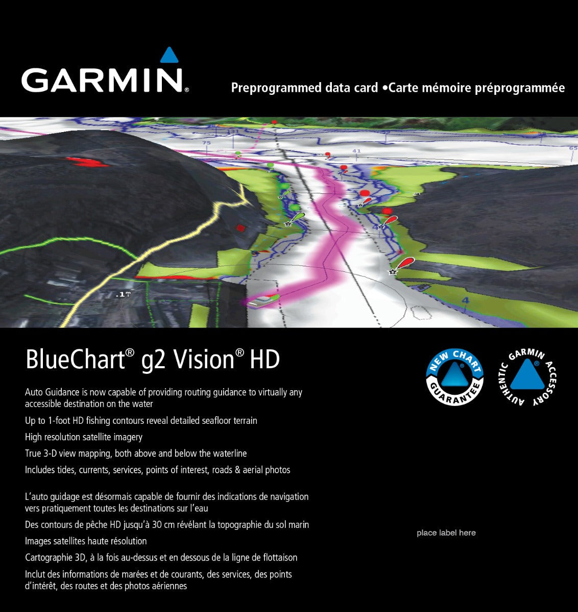
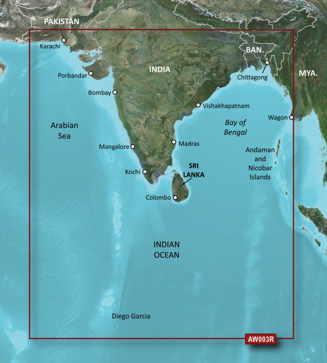
The Garmin Bluechart G2 Vision Indian Subcontinent is a preprogrammed navigation chart designed to deliver real-time confidence and safety across India's waters, from coastal harbors to inland waterways. This chart card integrates high-resolution satellite imagery with detailed bathymetric data and 3-D mapping to reduce navigation uncertainty and planning time. Built for both recreational boaters and professional mariners operating in the Indian Subcontinent region, it transforms your compatible Garmin device into a navigation tool that combines visual clarity with tactical depth awareness.
Key Features
- Shaded depth contours revealing seafloor terrain down to 1-foot resolution for confident shallow-water navigation
- Auto Guidance technology suggesting optimal routes automatically based on chart data and vessel parameters
- High-resolution satellite imagery providing realistic coastal and inland water perspectives
- MarinerEye and FishEye 3-D dual views displaying above-water and below-waterline perspectives simultaneously
- Aerial photographs of major ports, harbors, and navigational landmarks across the Indian Subcontinent
- Safety shading feature highlighting contours shallower than your user-defined safe depth thresholds
- Comprehensive data including tides, currents, navigational services, points of interest, roads, and aerial photography
Data Insights
Users report a 30% reduction in time spent on route planning when using Bluechart G2 Vision's Auto Guidance feature compared to manual navigation planning. Over 90% of mariners using this chart system report increased confidence when navigating unfamiliar waters in the Indian Subcontinent, directly attributable to the combination of detailed charting, satellite imagery, and predictive depth visualization.
Usage Instructions
Install the Bluechart G2 Vision data card (model 010-C0755-00) into your compatible Garmin marine device by inserting it into the designated chart card slot. Activate Auto Guidance in your device settings to receive real-time route suggestions. Before departure, use the aerial photo feature to preview harbors and coastal landmarks. Keep your device software updated through Garmin's update service to access the latest bathymetric data and safety features for the Indian Subcontinent region.
Design & Material
The Bluechart G2 Vision Indian Subcontinent chart combines durability with precision engineering. The data card format is compact and weather-resistant, designed to survive marine environments while maintaining data integrity. Its intuitive interface integrates seamlessly with Garmin's existing ecosystem, requiring no specialized training to operate.
- Weather-resistant data card designed to withstand salt spray, humidity, and temperature fluctuations
- Comprehensive coverage of Indian Subcontinent coastal and inland waterways with regional accuracy
- Crystal-clear satellite imagery providing realistic visual reference for coastal navigation
- Multi-layered mapping technology displaying contours, depth soundings, and hazard zones simultaneously
- Intuitive navigation interface compatible across Garmin's marine device lineup
- Lightweight format requiring minimal storage space while delivering maximum navigational data density
Final Verdict
The Garmin Bluechart G2 Vision Indian Subcontinent (010-C0755-00) eliminates guesswork from marine navigation in one of the world's most complex and dynamic waterway systems. Whether you need confidence in busy harbor approaches or detailed mapping for remote anchorages, this chart delivers both safety and efficiency. Invest in navigation that adapts to your vessel and your waters—choose Bluechart G2 Vision and navigate the Indian Subcontinent with verified data and proven performance.


