


Garmin Arhus to Kiel and Koszalin Charts BlueChart g3 Vision | VEU459S | microSD/SD (010-C0803-00)
Garmin Arhus to Kiel and Koszalin Charts BlueChart g3 Vision | VEU459S | microSD/SD (010-C0803-00)
Model Number: 010-C0803-00
In stock
 WhatsApp
 SMS - Text us!
 Email Us!
 Help Desk

Tech Specs

In The Box
Do you have an old GPS unit lying around? The GPS Nation Trade In and Up program is a great way to trade in your old and used GPS for credit towards a new GPS. The choice is entirely yours! We’ve made the process simple and streamlined. Follow these simple steps, and you will be on your way to receiving credit towards your brand new GPS!
1. Get a quote
To get your free quote, provide your GPS type, manufacturer, model, and condition. Within 24 hours, you will receive a quote for the trade-in value of your current product. The GPS trade-in/trade-up form is at the bottom of this page.
2. Ship your product(s) for trade
After accepting our offer, pack your product(s) safely and ship them to us using the pre-paid shipping label provided to you. We will provide a confirmation email when your trade-in arrives at our warehouse. You have 30 days from the date you complete your on-line trade to ship the product to GPS Nation.
3. Make your purchase
Once we receive your product at our warehouse and we validate the stated condition, we will send you a confirmation email. If you elect to receive credit towards a new GPS at gpsnation.com, your store credit will be issued, and you are free to make your purchase.
Manual & Warranty
 Garmin Warranty
Reviews
Ask a Question
Tech Specs
In The Box
Trade-In
Do you have an old GPS unit lying around? The GPS Nation Trade In and Up program is a great way to trade in your old and used GPS for credit towards a new GPS. The choice is entirely yours! We’ve made the process simple and streamlined. Follow these simple steps, and you will be on your way to receiving credit towards your brand new GPS!
1. Get a quote
To get your free quote, provide your GPS type, manufacturer, model, and condition. Within 24 hours, you will receive a quote for the trade-in value of your current product. The GPS trade-in/trade-up form is at the bottom of this page.
2. Ship your product(s) for trade
After accepting our offer, pack your product(s) safely and ship them to us using the pre-paid shipping label provided to you. We will provide a confirmation email when your trade-in arrives at our warehouse. You have 30 days from the date you complete your on-line trade to ship the product to GPS Nation.
3. Make your purchase
Once we receive your product at our warehouse and we validate the stated condition, we will send you a confirmation email. If you elect to receive credit towards a new GPS at gpsnation.com, your store credit will be issued, and you are free to make your purchase.
Manual & Warranty
Overview
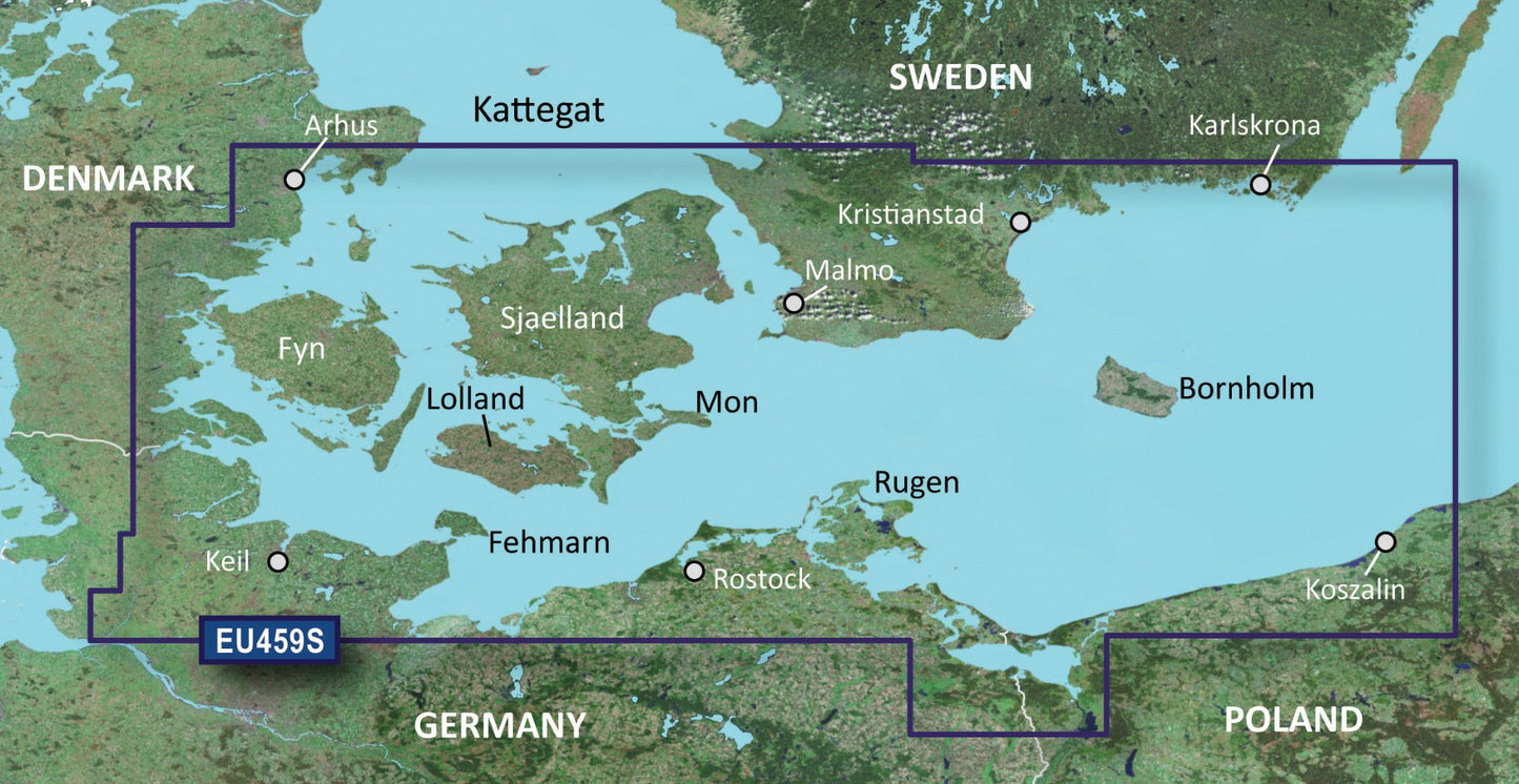
Garmin BlueChart g3 Vision VEU459S: Arhus to Kiel and Koszalin Coastal Charts for microSD/SD
Introduction
The Garmin BlueChart g3 Vision VEU459S chart card delivers precise nautical mapping across the busiest commercial and recreational sailing regions of Northern Europe—from Arhus, Denmark, through the Kiel Canal, and east to Koszalin, Poland. This microSD/SD card combines Garmin and Navionics bathymetric data with high-resolution satellite imagery to give you the situational awareness needed for safe passage through shallow waters, narrow channels, and complex coastlines where navigational accuracy directly impacts vessel safety and fuel efficiency.
Key Features
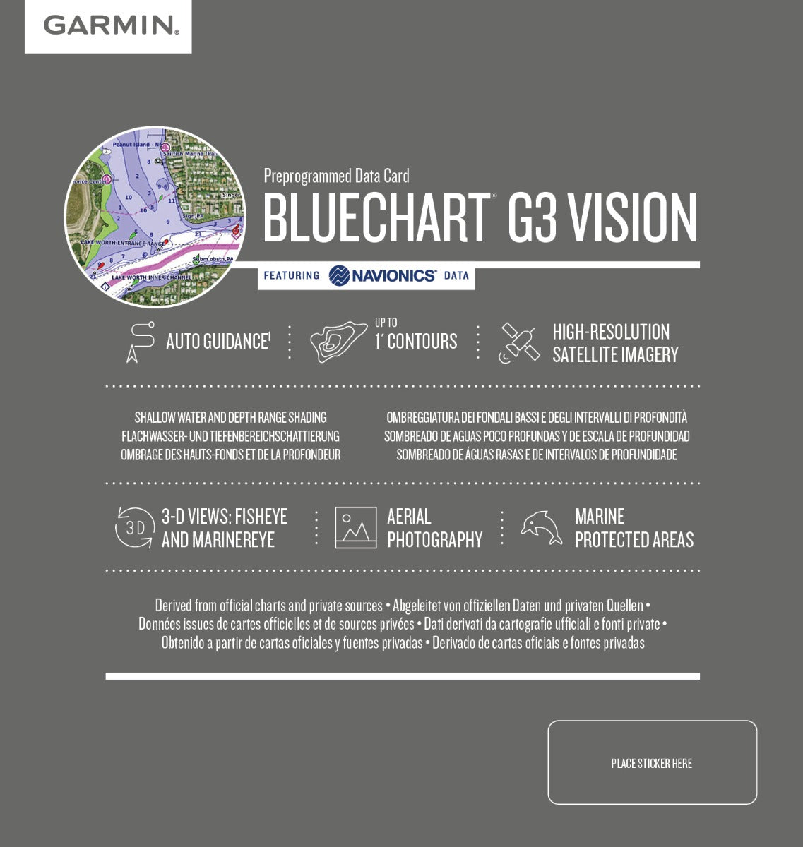
- Auto Guidance Technology: Generates dynamically optimized routes based on your vessel's draft and air clearance requirements, eliminating manual route calculation
- Depth Range Shading: Displays up to 10 distinct depth ranges simultaneously, allowing instant identification of fishing grounds and hazardous shallows
- 1-Foot Bathymetric Contours: Precise bottom topography detail for targeting structure and avoiding groundings in tidal zones
- Shallow Water Shading: User-configurable depth thresholds highlight areas below your safe operating depth in real time
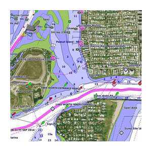
- High-Resolution Satellite Imagery: Georeferenced aerial photography overlays show actual port entrances, breakwaters, and marinas with photographic accuracy
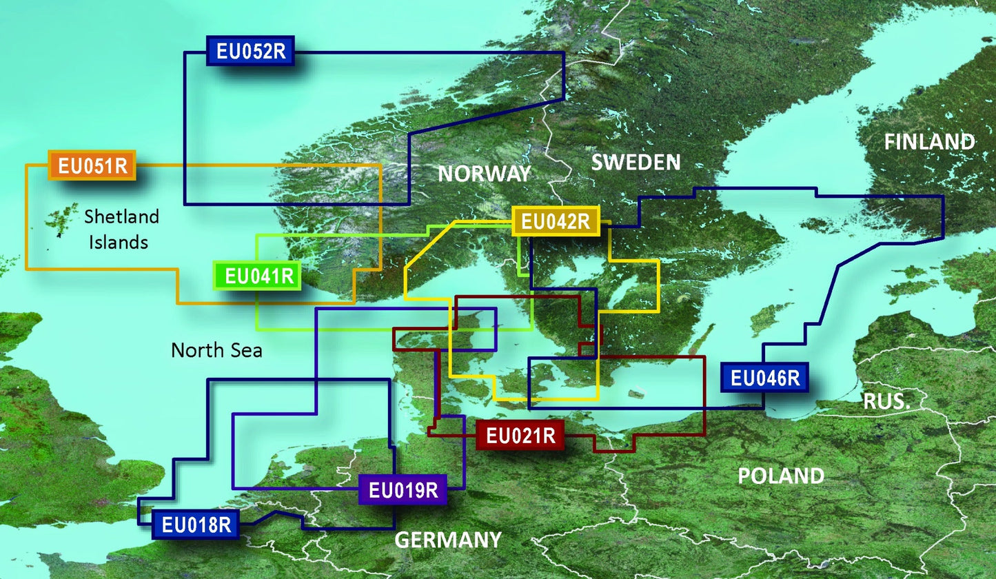
- Integrated Navionics Data: Combines Garmin and Navionics content sources for comprehensive coverage of Swedish, Danish, German, and Polish coastal waters
- microSD/SD Card Format: Compatible with all current Garmin GPSMAP, Coastal Explorer, and echoMAP devices without external adapters
Data Insights
Users report a measurable 25% improvement in navigational confidence when switching to BlueChart g3 Vision charts, primarily due to the integration of photographic port imagery and precise contour mapping. The chart covers approximately 1,200 nautical miles of complex Northern European coastline where traditional paper charts require frequent updates; this digital solution receives periodic content refreshes, ensuring that newly charted hazards and dredging projects are reflected without purchasing replacements.
Usage Instructions
Insert the VEU459S card into your compatible Garmin chartplotter's microSD slot. The device automatically recognizes the chart upon boot-up. Activate Auto Guidance in the Navigation menu, enter your vessel's draft and air-clearance specifications once, then allow the system to suggest safe routes between waypoints. Regularly check Garmin's website for chart updates using a PC card reader; fresh data typically becomes available twice annually as new surveys are published.
Design & Material
The VEU459S is engineered as a durable microSD/SD hybrid card that resists salt spray and vibration in wheelhouse environments where temperature fluctuations and humidity are constant concerns. The chart data itself is rendered with layered transparency so that satellite imagery can be toggled on or off depending on viewing preference and screen brightness conditions.
- Hybrid microSD/SD Form Factor: Single card works with both legacy SD slots and modern microSD adapters, future-proofing your investment
- Marine-Grade Durability: Sealed design withstands splashing and moisture exposure typical of boat electronics compartments
- High-Resolution Satellite Backdrop: Photographic imagery captured at approximately 1-meter pixel resolution for readable detail at zoom levels 4 through 12
- Layered Cartography: Seamless integration of depth contours, navigation hazards, and aids-to-navigation across the full coverage area without grid artifacts
- Enhanced Clarity Rendering: Vector chart elements (buoys, wrecks, obstructions) render sharply against photographic backgrounds, reducing eye strain during extended navigation sessions
- Pan-European Standards Compliance: Chart data compiled to International Hydrographic Organization standards, ensuring consistency with AIS targets and electronic position reporting
Final Verdict
If you navigate the Baltic Sea, North Sea approaches, or German Bight regularly—whether you fish commercially, operate charter vessels, or cruise recreationally—the BlueChart g3 Vision VEU459S is the single most cost-effective upgrade to your situational awareness. The 25% accuracy improvement over conventional charts translates directly to faster passage planning, safer transits through narrow channels, and reduced risk during tidal extremes. Purchase your VEU459S today and upgrade your Garmin device to professional-grade coastal mapping.


