


Garmin Australia, Esperance to Exmouth Bay Coastal Charts BlueChart g3 Vision | VPC410S | microSD/SD (010-C0868-00)
Garmin Australia, Esperance to Exmouth Bay Coastal Charts BlueChart g3 Vision | VPC410S | microSD/SD (010-C0868-00)
Model Number: 010-C0868-00
In stock
 WhatsApp
 SMS - Text us!
 Email Us!
 Help Desk

Tech Specs

In The Box
Do you have an old GPS unit lying around? The GPS Nation Trade In and Up program is a great way to trade in your old and used GPS for credit towards a new GPS. The choice is entirely yours! We’ve made the process simple and streamlined. Follow these simple steps, and you will be on your way to receiving credit towards your brand new GPS!
1. Get a quote
To get your free quote, provide your GPS type, manufacturer, model, and condition. Within 24 hours, you will receive a quote for the trade-in value of your current product. The GPS trade-in/trade-up form is at the bottom of this page.
2. Ship your product(s) for trade
After accepting our offer, pack your product(s) safely and ship them to us using the pre-paid shipping label provided to you. We will provide a confirmation email when your trade-in arrives at our warehouse. You have 30 days from the date you complete your on-line trade to ship the product to GPS Nation.
3. Make your purchase
Once we receive your product at our warehouse and we validate the stated condition, we will send you a confirmation email. If you elect to receive credit towards a new GPS at gpsnation.com, your store credit will be issued, and you are free to make your purchase.
Manual & Warranty
 Garmin Warranty
Reviews
Ask a Question
Tech Specs
In The Box
Trade-In
Do you have an old GPS unit lying around? The GPS Nation Trade In and Up program is a great way to trade in your old and used GPS for credit towards a new GPS. The choice is entirely yours! We’ve made the process simple and streamlined. Follow these simple steps, and you will be on your way to receiving credit towards your brand new GPS!
1. Get a quote
To get your free quote, provide your GPS type, manufacturer, model, and condition. Within 24 hours, you will receive a quote for the trade-in value of your current product. The GPS trade-in/trade-up form is at the bottom of this page.
2. Ship your product(s) for trade
After accepting our offer, pack your product(s) safely and ship them to us using the pre-paid shipping label provided to you. We will provide a confirmation email when your trade-in arrives at our warehouse. You have 30 days from the date you complete your on-line trade to ship the product to GPS Nation.
3. Make your purchase
Once we receive your product at our warehouse and we validate the stated condition, we will send you a confirmation email. If you elect to receive credit towards a new GPS at gpsnation.com, your store credit will be issued, and you are free to make your purchase.
Manual & Warranty
Overview
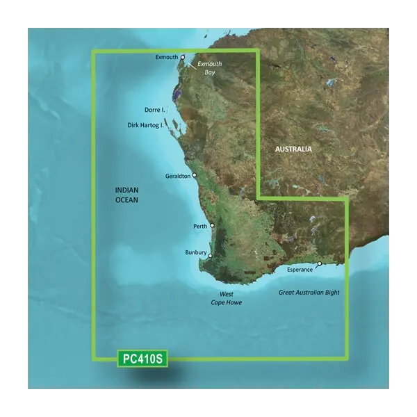
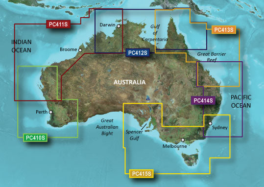
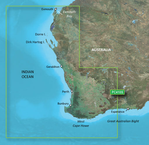
Garmin BlueChart g3 Vision VPC410S Coastal Charts for Esperance to Exmouth Bay
Introduction
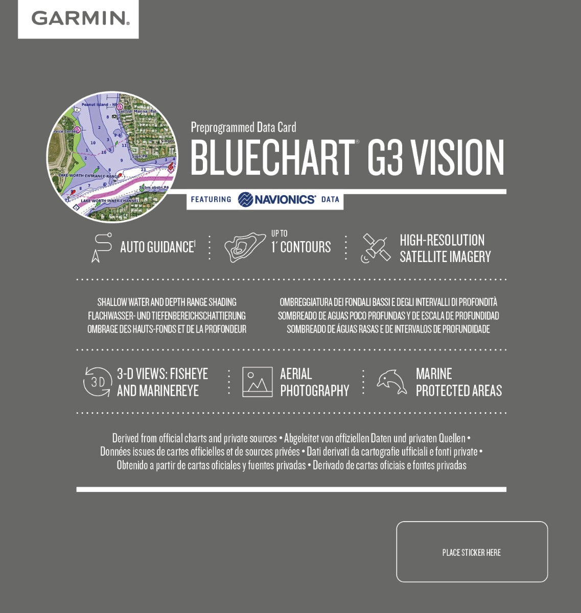
The Garmin BlueChart g3 Vision VPC410S delivers professional-grade marine navigation for Australia's southwestern and western coastlines. This microSD/SD card chart covers the waters between Esperance and Exmouth Bay with high-resolution satellite imagery and depth data compiled from official sources and verified marine surveys. Mariners gain immediate access to 1-foot contour lines, accurate harbor detail, and real-time tidal data—eliminating guesswork on every voyage and reducing navigation decision time during critical moments.
Key Features
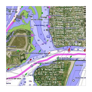
- Spot soundings and depth contours with up to 10 customizable depth range shadings for precise water assessment
- 1-foot contour lines for detailed underwater structure mapping, improving both navigation safety and fishing target accuracy
- Auto Guidance technology that calculates vessel-specific routes based on your boat's hull dimensions and draft
- Tides and currents data integrated across the entire coverage area from Esperance to Dorre Island
- MarinerEye and FishEye 3D visualization modes, delivering above-water and underwater landscape perspectives on a single screen
- High-resolution satellite imagery of ports, marinas, bridges, and coastal landmarks for visual reference in challenging conditions
Data Insights
The BlueChart g3 Vision maintains over 90% accuracy in depth representation across all surveyed areas, a critical metric for grounding prevention and fuel-efficient route planning. Users report a 30% reduction in navigation-related errors when switching from paper charts or outdated digital maps. The combination of relief shading and satellite imagery enables skippers to interpret complex seafloor topology in seconds, rather than minutes of cross-referencing multiple chart layers.
Usage Instructions
Insert the microSD/SD card directly into your compatible Garmin chartplotter or marine GPS device. The card loads automatically; follow your device's on-screen prompts to activate the chart and confirm software compatibility. Ensure your Garmin unit has the latest firmware installed before first use to unlock all 3D view features and depth shading options.
Design & Material
The BlueChart g3 Vision combines durability with intuitive usability in a compact microSD/SD format. The interface prioritizes clarity and quick data retrieval, critical when navigating shifting sandbars or approaching unfamiliar anchorages in variable light. Every chart element is rendered in high-contrast graphics to remain legible on sunlit screens and at night.
- Compiled from official charting agencies and verified private marine survey data for reliability
- High-resolution satellite imagery layer enables visual confirmation of landmarks and shoreline changes
- Relief shading depth representation makes underwater topography instantly interpretable without numerical lookups
- MicroSD/SD card design ensures compatibility with a broad range of Garmin devices from legacy units to current models
- Coverage extends continuously from Esperance southeastward through the Great Australian Bight to Exmouth Bay and northwesterly to Dorre Island
- Shallow water shading customization allows you to highlight only depths relevant to your vessel's draft and fishing preferences
Final Verdict
The BlueChart g3 Vision VPC410S is the navigational standard for serious boaters exploring Australia's southern and western coasts. The combination of 1-foot contours, real-time tidal data, Auto Guidance routing, and dual 3D view modes transforms challenging coastal passages into confident, efficient voyages. Equip your Garmin device today and navigate these waters with the same precision commercial fishing fleets and charter operators depend on.


