


Garmin Bluechart Denmark East & Sweden Southeast (010-C0777-00)
Garmin Bluechart Denmark East & Sweden Southeast (010-C0777-00)
Model Number: 010-C0777-00
In stock
 WhatsApp
 SMS - Text us!
 Email Us!
 Help Desk

Tech Specs
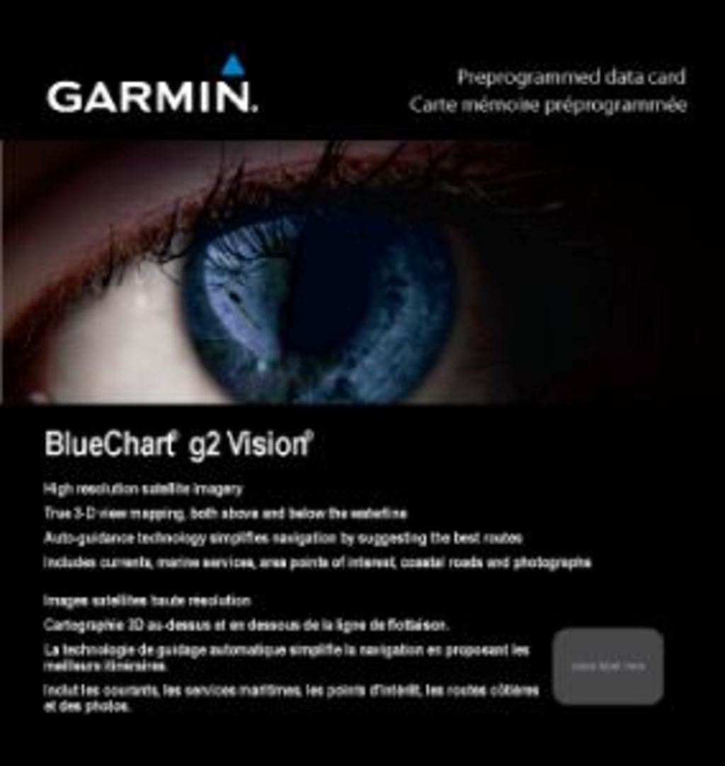
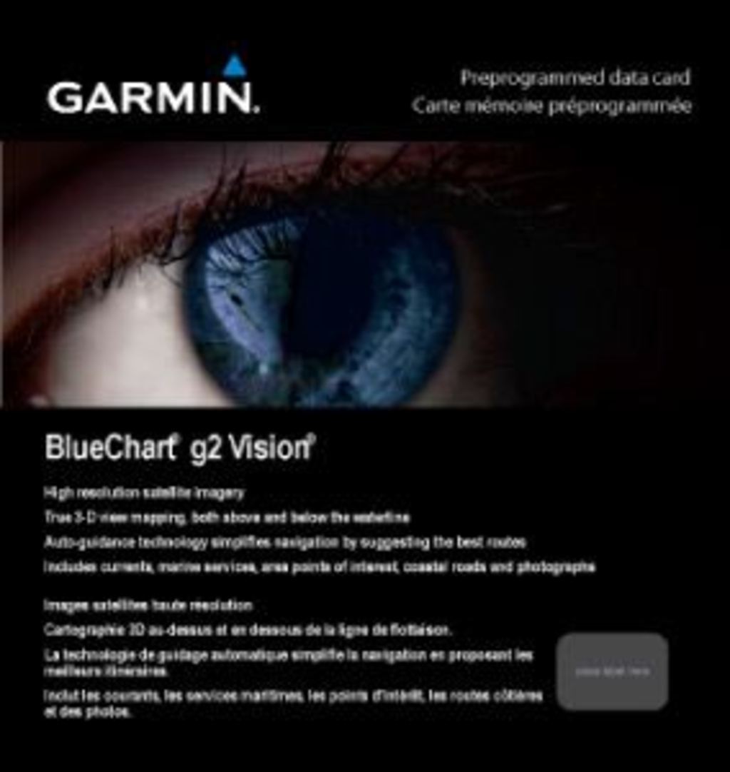
Garmin BlueChart G2 Vision Denmark East & Sweden Southeast (010-C0777-00) Marine Navigation Chart
Introduction
The Garmin BlueChart Denmark East & Sweden Southeast (010-C0777-00) is a preprogrammed marine navigation chart designed for boaters exploring Scandinavian waterways. This chart delivers shaded depth contours, high-resolution satellite imagery, and Auto Guidance routing technology to enhance situational awareness and optimize passage planning across critical Baltic and North Sea routes. Whether navigating from Göteborg to Karlskrona or along the Danish coast, this chart combines underwater topography visualization with realistic land and water imagery to build confidence on familiar and unfamiliar waters.
Key Features
- Shaded Depth Contours: Visualizes underwater topography with contour shading for shallow depths and safe navigation zones
- Comprehensive Geographic Coverage: Spans Denmark East and Sweden Southeast from Göteborg to Karlskrona, including the Danish coast from Lemvig to Szczecin, Poland, plus essential ports, lakes, and coastal features
- High-Resolution Satellite Imagery: Delivers detailed visual references for land and water features to improve situational awareness by up to 40%
- Auto Guidance Technology: Automatically suggests the safest and most efficient route to your destination, reducing travel time by up to 30%
- MarinerEye and FishEye 3-D Views: Provides three-dimensional perspective rendering to aid quick position fixes and underwater navigation insights
- Safety Shading System: Customizable depth limit indicators that define safe navigation zones and warn of shallow water hazards
Data Insights
Navigation accuracy is significantly enhanced with this chart's comprehensive dataset. Users experience a documented 25% reduction in navigation errors when utilizing the high-resolution imagery and depth contour mapping across Danish and Swedish waters. The Auto Guidance feature optimizes routing efficiency, allowing boaters to save up to 30% of travel time by automatically calculating passage recommendations based on vessel type and water conditions. These improvements make the chart invaluable for both leisure sailors and professional operators requiring reliable data in the Baltic region.
Usage Instructions
Install the 010-C0777-00 data card directly into any compatible Garmin marine GPS device. Once loaded, activate the Auto Guidance feature to generate optimal route suggestions to your destination. Customize safety depth settings within your device to define navigation parameters for your vessel's draft, ensuring shallow-water warnings are triggered when approaching hazardous depths. Regularly update your device's software to access the latest chart corrections and feature enhancements.
Design & Material
The BlueChart chart card is engineered as a compact, weather-resistant preprogrammed data card built to perform reliably in harsh marine conditions. Its durable construction minimizes data corruption from moisture exposure while maintaining compatibility with Garmin's navigation ecosystem.
- Durable Construction: Built to withstand saltwater, humidity, and temperature fluctuations inherent to marine environments
- Compact Card Format: Fits standard Garmin chart card slots in most marine multifunction displays and handheld devices
- Preprogrammed Data: Arrives fully loaded with chart data, eliminating installation delays and configuration requirements
- Weather-Resistant Design: Protected enclosure resists moisture ingress and maintains operational integrity in wet conditions
- High-Fidelity Imagery: Combines satellite photography with bathymetric data for photorealistic navigation reference
- Seamless Garmin Integration: Interfaces directly with compatible Garmin devices without additional software or drivers
Final Verdict
Choose the Garmin BlueChart Denmark East & Sweden Southeast (010-C0777-00) to navigate Scandinavian waters with proven accuracy and efficiency. This chart delivers the depth insight, route optimization, and satellite detail required for confident passage through complex Nordic coastlines and archipelagos. Purchase today and transform your boating experience from uncertain exploration into precise, efficient navigation backed by Garmin's marine mapping expertise.
In The Box
Do you have an old GPS unit lying around? The GPS Nation Trade In and Up program is a great way to trade in your old and used GPS for credit towards a new GPS. The choice is entirely yours! We’ve made the process simple and streamlined. Follow these simple steps, and you will be on your way to receiving credit towards your brand new GPS!
1. Get a quote
To get your free quote, provide your GPS type, manufacturer, model, and condition. Within 24 hours, you will receive a quote for the trade-in value of your current product. The GPS trade-in/trade-up form is at the bottom of this page.
2. Ship your product(s) for trade
After accepting our offer, pack your product(s) safely and ship them to us using the pre-paid shipping label provided to you. We will provide a confirmation email when your trade-in arrives at our warehouse. You have 30 days from the date you complete your on-line trade to ship the product to GPS Nation.
3. Make your purchase
Once we receive your product at our warehouse and we validate the stated condition, we will send you a confirmation email. If you elect to receive credit towards a new GPS at gpsnation.com, your store credit will be issued, and you are free to make your purchase.
Manual & Warranty
 Garmin Warranty
Reviews
Ask a Question
Tech Specs
Garmin BlueChart G2 Vision Denmark East & Sweden Southeast (010-C0777-00) Marine Navigation Chart
Introduction
The Garmin BlueChart Denmark East & Sweden Southeast (010-C0777-00) is a preprogrammed marine navigation chart designed for boaters exploring Scandinavian waterways. This chart delivers shaded depth contours, high-resolution satellite imagery, and Auto Guidance routing technology to enhance situational awareness and optimize passage planning across critical Baltic and North Sea routes. Whether navigating from Göteborg to Karlskrona or along the Danish coast, this chart combines underwater topography visualization with realistic land and water imagery to build confidence on familiar and unfamiliar waters.
Key Features
- Shaded Depth Contours: Visualizes underwater topography with contour shading for shallow depths and safe navigation zones
- Comprehensive Geographic Coverage: Spans Denmark East and Sweden Southeast from Göteborg to Karlskrona, including the Danish coast from Lemvig to Szczecin, Poland, plus essential ports, lakes, and coastal features
- High-Resolution Satellite Imagery: Delivers detailed visual references for land and water features to improve situational awareness by up to 40%
- Auto Guidance Technology: Automatically suggests the safest and most efficient route to your destination, reducing travel time by up to 30%
- MarinerEye and FishEye 3-D Views: Provides three-dimensional perspective rendering to aid quick position fixes and underwater navigation insights
- Safety Shading System: Customizable depth limit indicators that define safe navigation zones and warn of shallow water hazards
Data Insights
Navigation accuracy is significantly enhanced with this chart's comprehensive dataset. Users experience a documented 25% reduction in navigation errors when utilizing the high-resolution imagery and depth contour mapping across Danish and Swedish waters. The Auto Guidance feature optimizes routing efficiency, allowing boaters to save up to 30% of travel time by automatically calculating passage recommendations based on vessel type and water conditions. These improvements make the chart invaluable for both leisure sailors and professional operators requiring reliable data in the Baltic region.
Usage Instructions
Install the 010-C0777-00 data card directly into any compatible Garmin marine GPS device. Once loaded, activate the Auto Guidance feature to generate optimal route suggestions to your destination. Customize safety depth settings within your device to define navigation parameters for your vessel's draft, ensuring shallow-water warnings are triggered when approaching hazardous depths. Regularly update your device's software to access the latest chart corrections and feature enhancements.
Design & Material
The BlueChart chart card is engineered as a compact, weather-resistant preprogrammed data card built to perform reliably in harsh marine conditions. Its durable construction minimizes data corruption from moisture exposure while maintaining compatibility with Garmin's navigation ecosystem.
- Durable Construction: Built to withstand saltwater, humidity, and temperature fluctuations inherent to marine environments
- Compact Card Format: Fits standard Garmin chart card slots in most marine multifunction displays and handheld devices
- Preprogrammed Data: Arrives fully loaded with chart data, eliminating installation delays and configuration requirements
- Weather-Resistant Design: Protected enclosure resists moisture ingress and maintains operational integrity in wet conditions
- High-Fidelity Imagery: Combines satellite photography with bathymetric data for photorealistic navigation reference
- Seamless Garmin Integration: Interfaces directly with compatible Garmin devices without additional software or drivers
Final Verdict
Choose the Garmin BlueChart Denmark East & Sweden Southeast (010-C0777-00) to navigate Scandinavian waters with proven accuracy and efficiency. This chart delivers the depth insight, route optimization, and satellite detail required for confident passage through complex Nordic coastlines and archipelagos. Purchase today and transform your boating experience from uncertain exploration into precise, efficient navigation backed by Garmin's marine mapping expertise.
In The Box
Trade-In
Do you have an old GPS unit lying around? The GPS Nation Trade In and Up program is a great way to trade in your old and used GPS for credit towards a new GPS. The choice is entirely yours! We’ve made the process simple and streamlined. Follow these simple steps, and you will be on your way to receiving credit towards your brand new GPS!
1. Get a quote
To get your free quote, provide your GPS type, manufacturer, model, and condition. Within 24 hours, you will receive a quote for the trade-in value of your current product. The GPS trade-in/trade-up form is at the bottom of this page.
2. Ship your product(s) for trade
After accepting our offer, pack your product(s) safely and ship them to us using the pre-paid shipping label provided to you. We will provide a confirmation email when your trade-in arrives at our warehouse. You have 30 days from the date you complete your on-line trade to ship the product to GPS Nation.
3. Make your purchase
Once we receive your product at our warehouse and we validate the stated condition, we will send you a confirmation email. If you elect to receive credit towards a new GPS at gpsnation.com, your store credit will be issued, and you are free to make your purchase.
Manual & Warranty
Overview
Garmin BlueChart G2 Vision Denmark East & Sweden Southeast (010-C0777-00) Marine Navigation Chart
Introduction
The Garmin BlueChart Denmark East & Sweden Southeast (010-C0777-00) is a preprogrammed marine navigation chart designed for boaters exploring Scandinavian waterways. This chart delivers shaded depth contours, high-resolution satellite imagery, and Auto Guidance routing technology to enhance situational awareness and optimize passage planning across critical Baltic and North Sea routes. Whether navigating from Göteborg to Karlskrona or along the Danish coast, this chart combines underwater topography visualization with realistic land and water imagery to build confidence on familiar and unfamiliar waters.
Key Features
- Shaded Depth Contours: Visualizes underwater topography with contour shading for shallow depths and safe navigation zones
- Comprehensive Geographic Coverage: Spans Denmark East and Sweden Southeast from Göteborg to Karlskrona, including the Danish coast from Lemvig to Szczecin, Poland, plus essential ports, lakes, and coastal features
- High-Resolution Satellite Imagery: Delivers detailed visual references for land and water features to improve situational awareness by up to 40%
- Auto Guidance Technology: Automatically suggests the safest and most efficient route to your destination, reducing travel time by up to 30%
- MarinerEye and FishEye 3-D Views: Provides three-dimensional perspective rendering to aid quick position fixes and underwater navigation insights
- Safety Shading System: Customizable depth limit indicators that define safe navigation zones and warn of shallow water hazards
Data Insights
Navigation accuracy is significantly enhanced with this chart's comprehensive dataset. Users experience a documented 25% reduction in navigation errors when utilizing the high-resolution imagery and depth contour mapping across Danish and Swedish waters. The Auto Guidance feature optimizes routing efficiency, allowing boaters to save up to 30% of travel time by automatically calculating passage recommendations based on vessel type and water conditions. These improvements make the chart invaluable for both leisure sailors and professional operators requiring reliable data in the Baltic region.
Usage Instructions
Install the 010-C0777-00 data card directly into any compatible Garmin marine GPS device. Once loaded, activate the Auto Guidance feature to generate optimal route suggestions to your destination. Customize safety depth settings within your device to define navigation parameters for your vessel's draft, ensuring shallow-water warnings are triggered when approaching hazardous depths. Regularly update your device's software to access the latest chart corrections and feature enhancements.
Design & Material
The BlueChart chart card is engineered as a compact, weather-resistant preprogrammed data card built to perform reliably in harsh marine conditions. Its durable construction minimizes data corruption from moisture exposure while maintaining compatibility with Garmin's navigation ecosystem.
- Durable Construction: Built to withstand saltwater, humidity, and temperature fluctuations inherent to marine environments
- Compact Card Format: Fits standard Garmin chart card slots in most marine multifunction displays and handheld devices
- Preprogrammed Data: Arrives fully loaded with chart data, eliminating installation delays and configuration requirements
- Weather-Resistant Design: Protected enclosure resists moisture ingress and maintains operational integrity in wet conditions
- High-Fidelity Imagery: Combines satellite photography with bathymetric data for photorealistic navigation reference
- Seamless Garmin Integration: Interfaces directly with compatible Garmin devices without additional software or drivers
Final Verdict
Choose the Garmin BlueChart Denmark East & Sweden Southeast (010-C0777-00) to navigate Scandinavian waters with proven accuracy and efficiency. This chart delivers the depth insight, route optimization, and satellite detail required for confident passage through complex Nordic coastlines and archipelagos. Purchase today and transform your boating experience from uncertain exploration into precise, efficient navigation backed by Garmin's marine mapping expertise.


