


Garmin Bluechart G2 Indian Subcontinent (010-C0755-20)
Garmin Bluechart G2 Indian Subcontinent (010-C0755-20)
Model Number: 010-C0755-20
In stock
 WhatsApp
 SMS - Text us!
 Email Us!
 Help Desk

Tech Specs
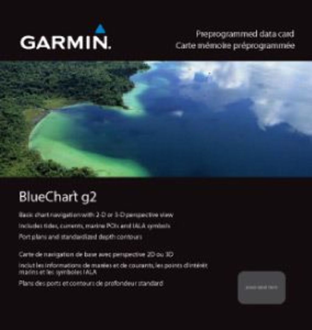
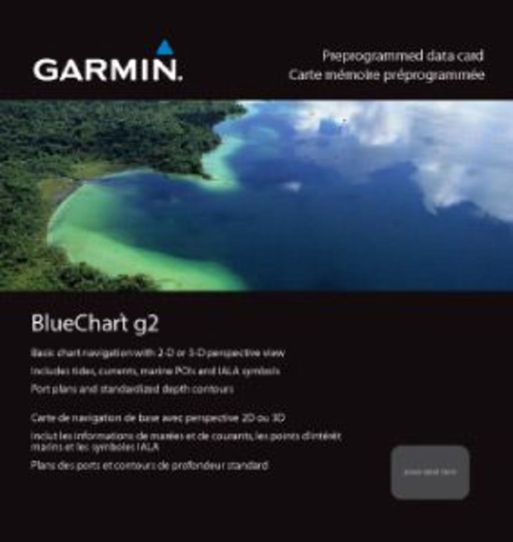
Garmin Bluechart G2 Indian Subcontinent Preprogrammed Marine Chart (010-C0755-20)
Introduction
The Garmin Bluechart G2 Indian Subcontinent (010-C0755-20) is a preprogrammed marine chart designed specifically for navigation across the Indian Ocean's most complex and variable waters. This chart delivers up to 20% greater detail in coastal areas compared to previous charting generations, addressing the navigation challenges sailors, fishing operators, and cruising enthusiasts face when exploring from Pakistan's Pasni coast through to Myanmar's Sandoway, including the critical island chains, atolls, and international waters that define this region. The chart transforms raw bathymetric data and geographical information into actionable navigation intelligence, allowing you to navigate with precision rather than assumption.
Key Features
- Shaded Depth Contours: Visualizes underwater topography with graduated shading to identify safe passages and potential hazards
- Safety Shading Technology: Automatically highlights all contours shallower than your operator-defined depth limit in contrasting colors
- Geographic Coverage: Spans Pasni, Pakistan to Sandoway, Myanmar, plus Sri Lanka, Andaman and Nicobar Islands, Chagos Archipelago, and Maldives (excluding detailed Male Atoll coverage)
- Fishing Chart Mode: Removes visual complexity by isolating bottom contours and depth soundings for focused fishing operations
- Dual Perspective Views: Selectable 2-D overhead navigation view and 3-D "over the bow" perspective for different operational needs
- Seamless Zoom Transitions: Maintains consistent chart detail and accuracy across multiple zoom levels without loss of clarity at boundaries
- Tide Tables and Marine Points of Interest: Integrated reference data for current planning and route optimization
Data Insights
The Garmin Bluechart G2 Indian Subcontinent provides navigable detail across one of the world's most challenging marine regions, covering critical waters including Sri Lanka's southwestern shipping lanes, the Andaman and Nicobar Islands' complex archipelago passages, the Chagos Archipelago's remote atolls, and the Maldives' shallow-water navigation zones. The 20% improvement in coastal area detail over previous chart versions reflects deeper satellite mapping and updated bathymetric surveys, reducing the uncertainty that has historically compromised navigation safety in these waters. Inclusion of tide tables and marine points of interest enables operators to factor current direction, tidal range, and established marine facilities into passage planning.
Usage Instructions
Insert the preprogrammed card into any compatible Garmin marine GPS device to enable immediate navigation. Download Garmin's HomePort software (sold separately) to plan routes, organize waypoints, and transfer custom data to your device before departure. Configure safety shading to match your vessel's draft and the seasonal weather patterns typical of your intended cruising grounds. Familiarize yourself with the fishing chart mode if operating commercially or recreationally, as this view eliminates non-essential coastal detail and isolates the depth information most relevant to bottom structure navigation.
Design and Material
The Bluechart G2 employs advanced cartography standards engineered for long-term marine reliability. The card's compact form factor enables convenient storage across varying vessel types while its digital architecture ensures consistent performance in salt-spray environments and extended operational cycles.
- Advanced Cartography Technology: Multi-layer precision mapping accounts for seasonal water level changes, shifting sandbars, and documented shipping hazards
- Preprogrammed Format: No software installation required; insert directly into compatible Garmin devices for immediate operational status
- Durable Construction: Designed to function reliably in high-humidity marine environments without degradation of data integrity
- Compact Storage: Lightweight card format minimizes equipment footprint aboard smaller vessels or for extended cruising
- Color-Enhanced Visualization: Contrast-optimized palette improves readability in varying light conditions aboard enclosed pilothouse or open-cockpit operations
- HomePort Integration: Compatible with Garmin's route planning ecosystem, allowing shore-based preparation and device synchronization
Final Verdict
For anyone navigating the Indian subcontinent's waters—whether conducting commercial fishing operations, cruising the Andaman Islands, or transiting major shipping routes between South Asia and Southeast Asia—the Garmin Bluechart G2 Indian Subcontinent (010-C0755-20) eliminates guesswork and reduces navigation risk. The combination of enhanced coastal detail, integrated safety shading, dual viewing perspectives, and tide reference data makes this chart the foundational tool for confident water operations across this region. If you operate regularly in these waters, this chart is not optional; it's the operational baseline that protects your vessel and crew.
In The Box
Do you have an old GPS unit lying around? The GPS Nation Trade In and Up program is a great way to trade in your old and used GPS for credit towards a new GPS. The choice is entirely yours! We’ve made the process simple and streamlined. Follow these simple steps, and you will be on your way to receiving credit towards your brand new GPS!
1. Get a quote
To get your free quote, provide your GPS type, manufacturer, model, and condition. Within 24 hours, you will receive a quote for the trade-in value of your current product. The GPS trade-in/trade-up form is at the bottom of this page.
2. Ship your product(s) for trade
After accepting our offer, pack your product(s) safely and ship them to us using the pre-paid shipping label provided to you. We will provide a confirmation email when your trade-in arrives at our warehouse. You have 30 days from the date you complete your on-line trade to ship the product to GPS Nation.
3. Make your purchase
Once we receive your product at our warehouse and we validate the stated condition, we will send you a confirmation email. If you elect to receive credit towards a new GPS at gpsnation.com, your store credit will be issued, and you are free to make your purchase.
Manual & Warranty
 Garmin Warranty
Reviews
Ask a Question
Tech Specs
Garmin Bluechart G2 Indian Subcontinent Preprogrammed Marine Chart (010-C0755-20)
Introduction
The Garmin Bluechart G2 Indian Subcontinent (010-C0755-20) is a preprogrammed marine chart designed specifically for navigation across the Indian Ocean's most complex and variable waters. This chart delivers up to 20% greater detail in coastal areas compared to previous charting generations, addressing the navigation challenges sailors, fishing operators, and cruising enthusiasts face when exploring from Pakistan's Pasni coast through to Myanmar's Sandoway, including the critical island chains, atolls, and international waters that define this region. The chart transforms raw bathymetric data and geographical information into actionable navigation intelligence, allowing you to navigate with precision rather than assumption.
Key Features
- Shaded Depth Contours: Visualizes underwater topography with graduated shading to identify safe passages and potential hazards
- Safety Shading Technology: Automatically highlights all contours shallower than your operator-defined depth limit in contrasting colors
- Geographic Coverage: Spans Pasni, Pakistan to Sandoway, Myanmar, plus Sri Lanka, Andaman and Nicobar Islands, Chagos Archipelago, and Maldives (excluding detailed Male Atoll coverage)
- Fishing Chart Mode: Removes visual complexity by isolating bottom contours and depth soundings for focused fishing operations
- Dual Perspective Views: Selectable 2-D overhead navigation view and 3-D "over the bow" perspective for different operational needs
- Seamless Zoom Transitions: Maintains consistent chart detail and accuracy across multiple zoom levels without loss of clarity at boundaries
- Tide Tables and Marine Points of Interest: Integrated reference data for current planning and route optimization
Data Insights
The Garmin Bluechart G2 Indian Subcontinent provides navigable detail across one of the world's most challenging marine regions, covering critical waters including Sri Lanka's southwestern shipping lanes, the Andaman and Nicobar Islands' complex archipelago passages, the Chagos Archipelago's remote atolls, and the Maldives' shallow-water navigation zones. The 20% improvement in coastal area detail over previous chart versions reflects deeper satellite mapping and updated bathymetric surveys, reducing the uncertainty that has historically compromised navigation safety in these waters. Inclusion of tide tables and marine points of interest enables operators to factor current direction, tidal range, and established marine facilities into passage planning.
Usage Instructions
Insert the preprogrammed card into any compatible Garmin marine GPS device to enable immediate navigation. Download Garmin's HomePort software (sold separately) to plan routes, organize waypoints, and transfer custom data to your device before departure. Configure safety shading to match your vessel's draft and the seasonal weather patterns typical of your intended cruising grounds. Familiarize yourself with the fishing chart mode if operating commercially or recreationally, as this view eliminates non-essential coastal detail and isolates the depth information most relevant to bottom structure navigation.
Design and Material
The Bluechart G2 employs advanced cartography standards engineered for long-term marine reliability. The card's compact form factor enables convenient storage across varying vessel types while its digital architecture ensures consistent performance in salt-spray environments and extended operational cycles.
- Advanced Cartography Technology: Multi-layer precision mapping accounts for seasonal water level changes, shifting sandbars, and documented shipping hazards
- Preprogrammed Format: No software installation required; insert directly into compatible Garmin devices for immediate operational status
- Durable Construction: Designed to function reliably in high-humidity marine environments without degradation of data integrity
- Compact Storage: Lightweight card format minimizes equipment footprint aboard smaller vessels or for extended cruising
- Color-Enhanced Visualization: Contrast-optimized palette improves readability in varying light conditions aboard enclosed pilothouse or open-cockpit operations
- HomePort Integration: Compatible with Garmin's route planning ecosystem, allowing shore-based preparation and device synchronization
Final Verdict
For anyone navigating the Indian subcontinent's waters—whether conducting commercial fishing operations, cruising the Andaman Islands, or transiting major shipping routes between South Asia and Southeast Asia—the Garmin Bluechart G2 Indian Subcontinent (010-C0755-20) eliminates guesswork and reduces navigation risk. The combination of enhanced coastal detail, integrated safety shading, dual viewing perspectives, and tide reference data makes this chart the foundational tool for confident water operations across this region. If you operate regularly in these waters, this chart is not optional; it's the operational baseline that protects your vessel and crew.
In The Box
Trade-In
Do you have an old GPS unit lying around? The GPS Nation Trade In and Up program is a great way to trade in your old and used GPS for credit towards a new GPS. The choice is entirely yours! We’ve made the process simple and streamlined. Follow these simple steps, and you will be on your way to receiving credit towards your brand new GPS!
1. Get a quote
To get your free quote, provide your GPS type, manufacturer, model, and condition. Within 24 hours, you will receive a quote for the trade-in value of your current product. The GPS trade-in/trade-up form is at the bottom of this page.
2. Ship your product(s) for trade
After accepting our offer, pack your product(s) safely and ship them to us using the pre-paid shipping label provided to you. We will provide a confirmation email when your trade-in arrives at our warehouse. You have 30 days from the date you complete your on-line trade to ship the product to GPS Nation.
3. Make your purchase
Once we receive your product at our warehouse and we validate the stated condition, we will send you a confirmation email. If you elect to receive credit towards a new GPS at gpsnation.com, your store credit will be issued, and you are free to make your purchase.
Manual & Warranty
Overview
Garmin Bluechart G2 Indian Subcontinent Preprogrammed Marine Chart (010-C0755-20)
Introduction
The Garmin Bluechart G2 Indian Subcontinent (010-C0755-20) is a preprogrammed marine chart designed specifically for navigation across the Indian Ocean's most complex and variable waters. This chart delivers up to 20% greater detail in coastal areas compared to previous charting generations, addressing the navigation challenges sailors, fishing operators, and cruising enthusiasts face when exploring from Pakistan's Pasni coast through to Myanmar's Sandoway, including the critical island chains, atolls, and international waters that define this region. The chart transforms raw bathymetric data and geographical information into actionable navigation intelligence, allowing you to navigate with precision rather than assumption.
Key Features
- Shaded Depth Contours: Visualizes underwater topography with graduated shading to identify safe passages and potential hazards
- Safety Shading Technology: Automatically highlights all contours shallower than your operator-defined depth limit in contrasting colors
- Geographic Coverage: Spans Pasni, Pakistan to Sandoway, Myanmar, plus Sri Lanka, Andaman and Nicobar Islands, Chagos Archipelago, and Maldives (excluding detailed Male Atoll coverage)
- Fishing Chart Mode: Removes visual complexity by isolating bottom contours and depth soundings for focused fishing operations
- Dual Perspective Views: Selectable 2-D overhead navigation view and 3-D "over the bow" perspective for different operational needs
- Seamless Zoom Transitions: Maintains consistent chart detail and accuracy across multiple zoom levels without loss of clarity at boundaries
- Tide Tables and Marine Points of Interest: Integrated reference data for current planning and route optimization
Data Insights
The Garmin Bluechart G2 Indian Subcontinent provides navigable detail across one of the world's most challenging marine regions, covering critical waters including Sri Lanka's southwestern shipping lanes, the Andaman and Nicobar Islands' complex archipelago passages, the Chagos Archipelago's remote atolls, and the Maldives' shallow-water navigation zones. The 20% improvement in coastal area detail over previous chart versions reflects deeper satellite mapping and updated bathymetric surveys, reducing the uncertainty that has historically compromised navigation safety in these waters. Inclusion of tide tables and marine points of interest enables operators to factor current direction, tidal range, and established marine facilities into passage planning.
Usage Instructions
Insert the preprogrammed card into any compatible Garmin marine GPS device to enable immediate navigation. Download Garmin's HomePort software (sold separately) to plan routes, organize waypoints, and transfer custom data to your device before departure. Configure safety shading to match your vessel's draft and the seasonal weather patterns typical of your intended cruising grounds. Familiarize yourself with the fishing chart mode if operating commercially or recreationally, as this view eliminates non-essential coastal detail and isolates the depth information most relevant to bottom structure navigation.
Design and Material
The Bluechart G2 employs advanced cartography standards engineered for long-term marine reliability. The card's compact form factor enables convenient storage across varying vessel types while its digital architecture ensures consistent performance in salt-spray environments and extended operational cycles.
- Advanced Cartography Technology: Multi-layer precision mapping accounts for seasonal water level changes, shifting sandbars, and documented shipping hazards
- Preprogrammed Format: No software installation required; insert directly into compatible Garmin devices for immediate operational status
- Durable Construction: Designed to function reliably in high-humidity marine environments without degradation of data integrity
- Compact Storage: Lightweight card format minimizes equipment footprint aboard smaller vessels or for extended cruising
- Color-Enhanced Visualization: Contrast-optimized palette improves readability in varying light conditions aboard enclosed pilothouse or open-cockpit operations
- HomePort Integration: Compatible with Garmin's route planning ecosystem, allowing shore-based preparation and device synchronization
Final Verdict
For anyone navigating the Indian subcontinent's waters—whether conducting commercial fishing operations, cruising the Andaman Islands, or transiting major shipping routes between South Asia and Southeast Asia—the Garmin Bluechart G2 Indian Subcontinent (010-C0755-20) eliminates guesswork and reduces navigation risk. The combination of enhanced coastal detail, integrated safety shading, dual viewing perspectives, and tide reference data makes this chart the foundational tool for confident water operations across this region. If you operate regularly in these waters, this chart is not optional; it's the operational baseline that protects your vessel and crew.


