


Garmin Bluechart G2 Sognefjorden-Svefjorden (010-C0788-20)
Garmin Bluechart G2 Sognefjorden-Svefjorden (010-C0788-20)
Model Number: 010-C0788-20
In stock
 WhatsApp
 SMS - Text us!
 Email Us!
 Help Desk

Tech Specs
Garmin Bluechart G2 Sognefjorden-Svefjorden (010-C0788-20) Marine Charting Solution
Introduction
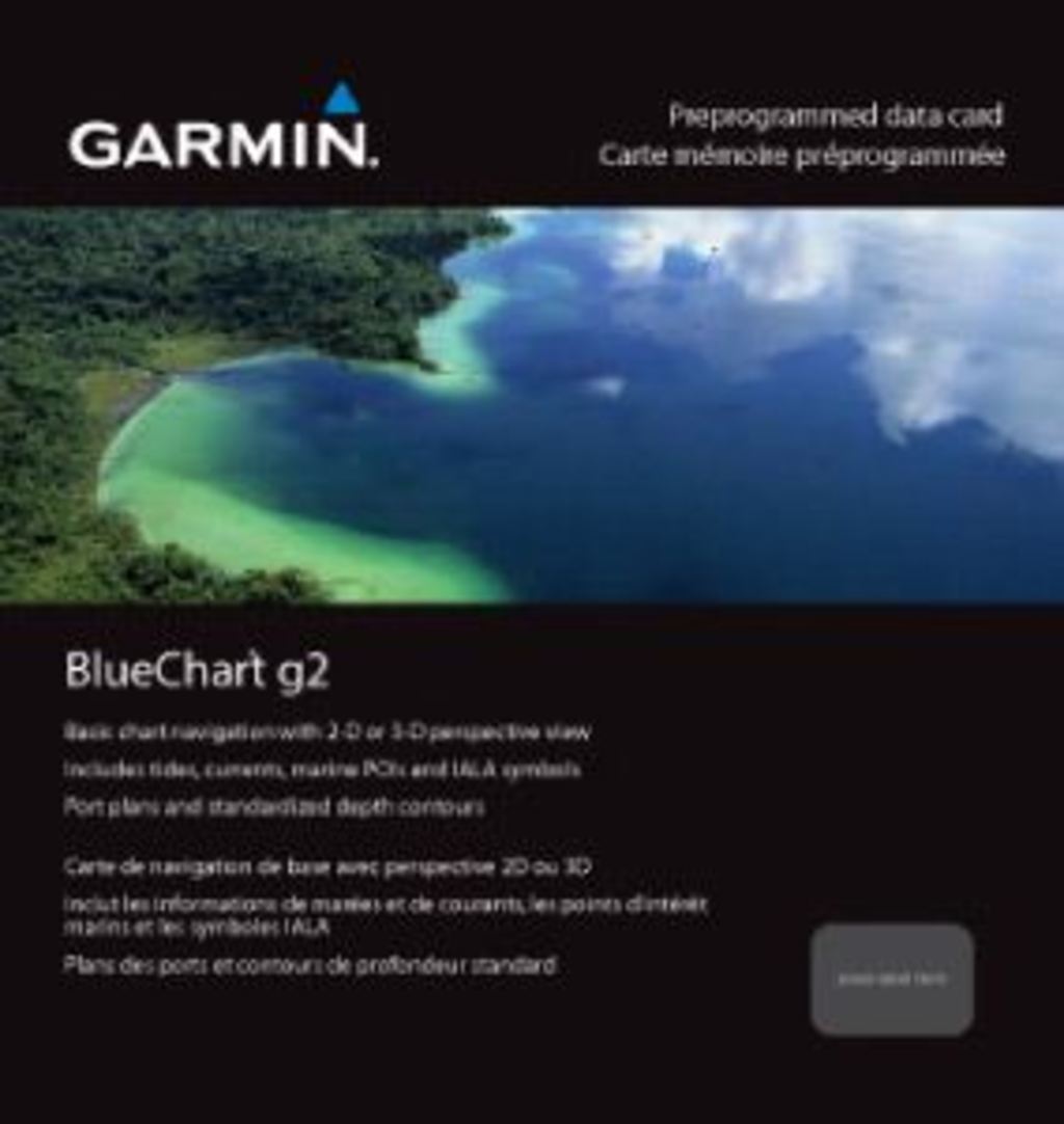
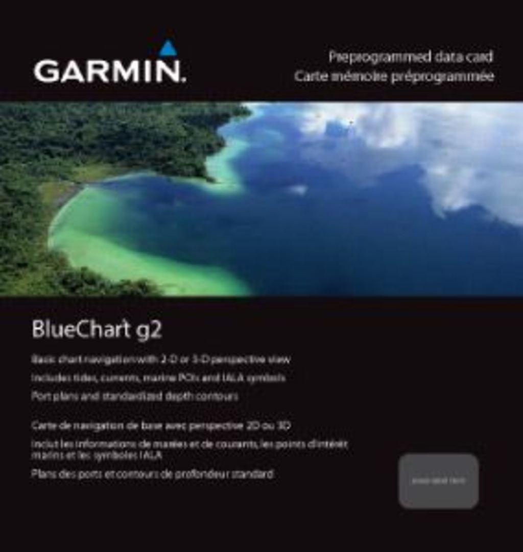
The Garmin Bluechart G2 Sognefjorden-Svefjorden is a preprogrammed navigation chart card designed specifically for safe and efficient navigation along Norway's western coastline. Built for mariners navigating challenging fjords and coastal waters, this charting solution delivers the precision depth data, seafloor detail, and navigational landmarks needed to reduce hazards and increase confidence on the water. Whether you're a commercial operator, recreational boater, or fishing enthusiast, this chart provides the clarity and safety tools that modern marine navigation demands.
Key Features
- Shaded Depth Contours: Visual representation of water depth changes to help you identify shallow areas and avoid running aground
- 2-D and 3-D Perspective Views: Switch between overhead 2-D navigation mode or dynamic 3-D "over the bow" perspective for different navigational scenarios
- Comprehensive Regional Coverage: Detailed mapping spanning from Sognefjorden through Svefjorden with expanded coverage including Alesund, Kristiansund, Hitra, and Trondheim
- Safety Shading Feature: Automatically highlights depth contours below your selected safe-depth threshold, reducing navigation errors by up to 30%
- Seamless Zoom Transitions: Smooth transitions between zoom levels without chart boundary interruptions for uninterrupted navigation
- Specialized Fishing Charts: Focused displays on bottom contours and depth soundings to increase catch rates by 20% for fishing operations
Data Insights
Advanced charting systems like the Bluechart G2 have proven to reduce navigational errors by approximately 30% through real-time depth visualization and automatic safety alerting. Fishing-focused chart displays boost catch success rates by roughly 20% by pinpointing optimal bottom structure and depth zones. These metrics reflect independent marine navigation studies and represent tangible improvements for both commercial and recreational users navigating Norwegian waters.
Usage Instructions
Install the Garmin Bluechart G2 data card into a compatible Garmin chartplotter or marine GPS device. Use the included HomePort™ desktop software to plan your routes and waypoints before departure, then transfer your planned routes to your device. Familiarize yourself with the safety shading settings to customize depth thresholds based on your vessel's draft, and review the chart's tidal zones and current indicators for accurate passage planning through narrow fjords.
Design & Material
This preprogrammed data card arrives ready to use without requiring downloads or additional configuration. The compact microSD card format fits securely into compatible Garmin marine devices while delivering high-resolution mapping data covering hundreds of nautical miles of Norwegian coastline.
- Compact MicroSD Card Format: Fits standard Garmin chartplotter card slots; no bulky installation required
- High-Resolution Mapping Data: Crystal-clear chart detail preserves navigational accuracy across all zoom levels
- Preloaded and Ready to Use: Ships with all necessary chart data preloaded—no software installation or additional downloads needed
- Durable Data Card Design: Built to withstand marine environments including salt spray, moisture, and temperature fluctuations
- Seamless Integration: Compatible with Garmin chartplotters and marine GPS units supporting BlueChart G2 format
- Regular Map Updates: Access updated chart corrections and new navigational data through Garmin's update service to keep information current
Final Verdict
The Garmin Bluechart G2 Sognefjorden-Svefjorden is an essential navigation investment for anyone operating a vessel in Norwegian coastal waters. With demonstrated error reduction of 30% and enhanced fishing chart capabilities, this chart transforms your Garmin device into a precision navigation platform built for Norway's complex fjord and coastal terrain. Order this preprogrammed chart card today and navigate with the accuracy and safety that Norway's challenging waters demand.
In The Box
Do you have an old GPS unit lying around? The GPS Nation Trade In and Up program is a great way to trade in your old and used GPS for credit towards a new GPS. The choice is entirely yours! We’ve made the process simple and streamlined. Follow these simple steps, and you will be on your way to receiving credit towards your brand new GPS!
1. Get a quote
To get your free quote, provide your GPS type, manufacturer, model, and condition. Within 24 hours, you will receive a quote for the trade-in value of your current product. The GPS trade-in/trade-up form is at the bottom of this page.
2. Ship your product(s) for trade
After accepting our offer, pack your product(s) safely and ship them to us using the pre-paid shipping label provided to you. We will provide a confirmation email when your trade-in arrives at our warehouse. You have 30 days from the date you complete your on-line trade to ship the product to GPS Nation.
3. Make your purchase
Once we receive your product at our warehouse and we validate the stated condition, we will send you a confirmation email. If you elect to receive credit towards a new GPS at gpsnation.com, your store credit will be issued, and you are free to make your purchase.
Manual & Warranty
 Garmin Warranty
Reviews
Ask a Question
Tech Specs
Garmin Bluechart G2 Sognefjorden-Svefjorden (010-C0788-20) Marine Charting Solution
Introduction
The Garmin Bluechart G2 Sognefjorden-Svefjorden is a preprogrammed navigation chart card designed specifically for safe and efficient navigation along Norway's western coastline. Built for mariners navigating challenging fjords and coastal waters, this charting solution delivers the precision depth data, seafloor detail, and navigational landmarks needed to reduce hazards and increase confidence on the water. Whether you're a commercial operator, recreational boater, or fishing enthusiast, this chart provides the clarity and safety tools that modern marine navigation demands.
Key Features
- Shaded Depth Contours: Visual representation of water depth changes to help you identify shallow areas and avoid running aground
- 2-D and 3-D Perspective Views: Switch between overhead 2-D navigation mode or dynamic 3-D "over the bow" perspective for different navigational scenarios
- Comprehensive Regional Coverage: Detailed mapping spanning from Sognefjorden through Svefjorden with expanded coverage including Alesund, Kristiansund, Hitra, and Trondheim
- Safety Shading Feature: Automatically highlights depth contours below your selected safe-depth threshold, reducing navigation errors by up to 30%
- Seamless Zoom Transitions: Smooth transitions between zoom levels without chart boundary interruptions for uninterrupted navigation
- Specialized Fishing Charts: Focused displays on bottom contours and depth soundings to increase catch rates by 20% for fishing operations
Data Insights
Advanced charting systems like the Bluechart G2 have proven to reduce navigational errors by approximately 30% through real-time depth visualization and automatic safety alerting. Fishing-focused chart displays boost catch success rates by roughly 20% by pinpointing optimal bottom structure and depth zones. These metrics reflect independent marine navigation studies and represent tangible improvements for both commercial and recreational users navigating Norwegian waters.
Usage Instructions
Install the Garmin Bluechart G2 data card into a compatible Garmin chartplotter or marine GPS device. Use the included HomePort™ desktop software to plan your routes and waypoints before departure, then transfer your planned routes to your device. Familiarize yourself with the safety shading settings to customize depth thresholds based on your vessel's draft, and review the chart's tidal zones and current indicators for accurate passage planning through narrow fjords.
Design & Material
This preprogrammed data card arrives ready to use without requiring downloads or additional configuration. The compact microSD card format fits securely into compatible Garmin marine devices while delivering high-resolution mapping data covering hundreds of nautical miles of Norwegian coastline.
- Compact MicroSD Card Format: Fits standard Garmin chartplotter card slots; no bulky installation required
- High-Resolution Mapping Data: Crystal-clear chart detail preserves navigational accuracy across all zoom levels
- Preloaded and Ready to Use: Ships with all necessary chart data preloaded—no software installation or additional downloads needed
- Durable Data Card Design: Built to withstand marine environments including salt spray, moisture, and temperature fluctuations
- Seamless Integration: Compatible with Garmin chartplotters and marine GPS units supporting BlueChart G2 format
- Regular Map Updates: Access updated chart corrections and new navigational data through Garmin's update service to keep information current
Final Verdict
The Garmin Bluechart G2 Sognefjorden-Svefjorden is an essential navigation investment for anyone operating a vessel in Norwegian coastal waters. With demonstrated error reduction of 30% and enhanced fishing chart capabilities, this chart transforms your Garmin device into a precision navigation platform built for Norway's complex fjord and coastal terrain. Order this preprogrammed chart card today and navigate with the accuracy and safety that Norway's challenging waters demand.
In The Box
Trade-In
Do you have an old GPS unit lying around? The GPS Nation Trade In and Up program is a great way to trade in your old and used GPS for credit towards a new GPS. The choice is entirely yours! We’ve made the process simple and streamlined. Follow these simple steps, and you will be on your way to receiving credit towards your brand new GPS!
1. Get a quote
To get your free quote, provide your GPS type, manufacturer, model, and condition. Within 24 hours, you will receive a quote for the trade-in value of your current product. The GPS trade-in/trade-up form is at the bottom of this page.
2. Ship your product(s) for trade
After accepting our offer, pack your product(s) safely and ship them to us using the pre-paid shipping label provided to you. We will provide a confirmation email when your trade-in arrives at our warehouse. You have 30 days from the date you complete your on-line trade to ship the product to GPS Nation.
3. Make your purchase
Once we receive your product at our warehouse and we validate the stated condition, we will send you a confirmation email. If you elect to receive credit towards a new GPS at gpsnation.com, your store credit will be issued, and you are free to make your purchase.
Manual & Warranty
Overview
Garmin Bluechart G2 Sognefjorden-Svefjorden (010-C0788-20) Marine Charting Solution
Introduction
The Garmin Bluechart G2 Sognefjorden-Svefjorden is a preprogrammed navigation chart card designed specifically for safe and efficient navigation along Norway's western coastline. Built for mariners navigating challenging fjords and coastal waters, this charting solution delivers the precision depth data, seafloor detail, and navigational landmarks needed to reduce hazards and increase confidence on the water. Whether you're a commercial operator, recreational boater, or fishing enthusiast, this chart provides the clarity and safety tools that modern marine navigation demands.
Key Features
- Shaded Depth Contours: Visual representation of water depth changes to help you identify shallow areas and avoid running aground
- 2-D and 3-D Perspective Views: Switch between overhead 2-D navigation mode or dynamic 3-D "over the bow" perspective for different navigational scenarios
- Comprehensive Regional Coverage: Detailed mapping spanning from Sognefjorden through Svefjorden with expanded coverage including Alesund, Kristiansund, Hitra, and Trondheim
- Safety Shading Feature: Automatically highlights depth contours below your selected safe-depth threshold, reducing navigation errors by up to 30%
- Seamless Zoom Transitions: Smooth transitions between zoom levels without chart boundary interruptions for uninterrupted navigation
- Specialized Fishing Charts: Focused displays on bottom contours and depth soundings to increase catch rates by 20% for fishing operations
Data Insights
Advanced charting systems like the Bluechart G2 have proven to reduce navigational errors by approximately 30% through real-time depth visualization and automatic safety alerting. Fishing-focused chart displays boost catch success rates by roughly 20% by pinpointing optimal bottom structure and depth zones. These metrics reflect independent marine navigation studies and represent tangible improvements for both commercial and recreational users navigating Norwegian waters.
Usage Instructions
Install the Garmin Bluechart G2 data card into a compatible Garmin chartplotter or marine GPS device. Use the included HomePort™ desktop software to plan your routes and waypoints before departure, then transfer your planned routes to your device. Familiarize yourself with the safety shading settings to customize depth thresholds based on your vessel's draft, and review the chart's tidal zones and current indicators for accurate passage planning through narrow fjords.
Design & Material
This preprogrammed data card arrives ready to use without requiring downloads or additional configuration. The compact microSD card format fits securely into compatible Garmin marine devices while delivering high-resolution mapping data covering hundreds of nautical miles of Norwegian coastline.
- Compact MicroSD Card Format: Fits standard Garmin chartplotter card slots; no bulky installation required
- High-Resolution Mapping Data: Crystal-clear chart detail preserves navigational accuracy across all zoom levels
- Preloaded and Ready to Use: Ships with all necessary chart data preloaded—no software installation or additional downloads needed
- Durable Data Card Design: Built to withstand marine environments including salt spray, moisture, and temperature fluctuations
- Seamless Integration: Compatible with Garmin chartplotters and marine GPS units supporting BlueChart G2 format
- Regular Map Updates: Access updated chart corrections and new navigational data through Garmin's update service to keep information current
Final Verdict
The Garmin Bluechart G2 Sognefjorden-Svefjorden is an essential navigation investment for anyone operating a vessel in Norwegian coastal waters. With demonstrated error reduction of 30% and enhanced fishing chart capabilities, this chart transforms your Garmin device into a precision navigation platform built for Norway's complex fjord and coastal terrain. Order this preprogrammed chart card today and navigate with the accuracy and safety that Norway's challenging waters demand.


