


Garmin Bluechart G2 Timor Leste-New Guinea (010-C0881-20)
Garmin Bluechart G2 Timor Leste-New Guinea (010-C0881-20)
Model Number: 010-C0881-20
In stock
 WhatsApp
 SMS - Text us!
 Email Us!
 Help Desk

Tech Specs
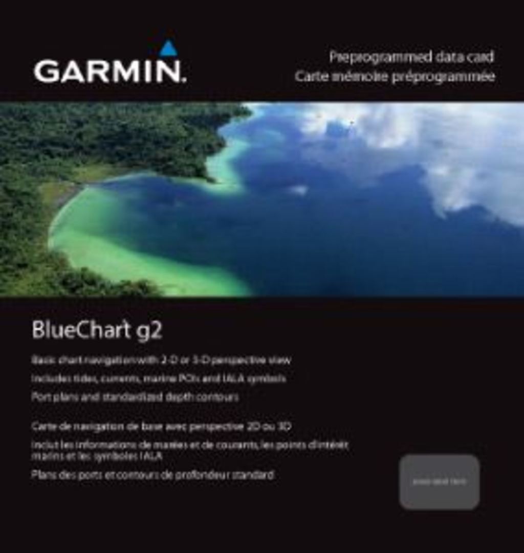
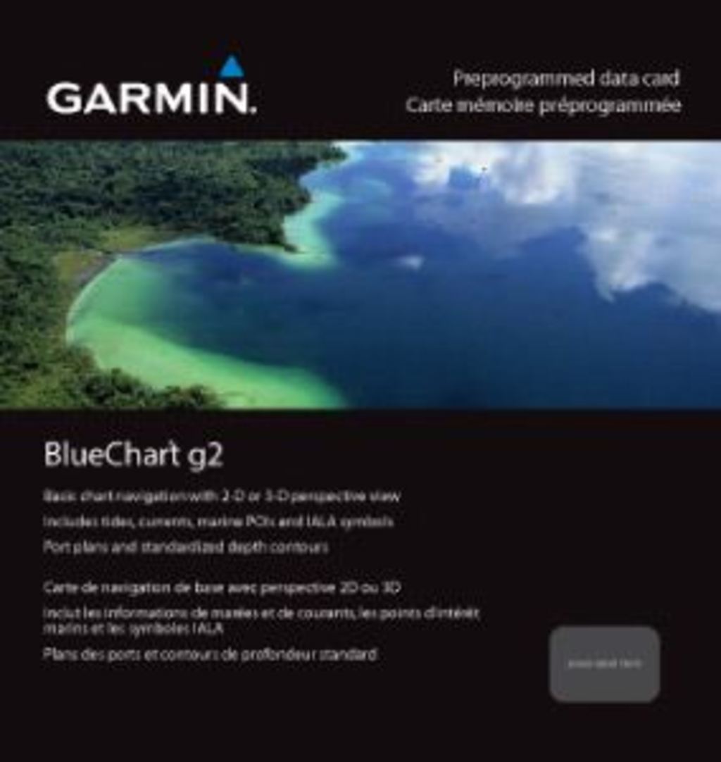
Garmin Bluechart G2 Timor Leste-New Guinea Preprogrammed Data Card (010-C0881-20)
Introduction
The Garmin Bluechart G2 Timor Leste-New Guinea is a preprogrammed data card that delivers detailed marine charts for the waters of Timor Leste, Papua New Guinea, parts of Melville Island, and northern Australia. This specialized mapping software equips boaters and fishing enthusiasts with the navigational precision needed to safely explore some of the world's most remote and complex coastlines. Unlike general-purpose charting tools, this region-specific card includes proprietary data on shallow depths, bottom contours, and port approaches that matter most to mariners operating in Southeast Asian waters.
Key Features
- Shaded depth contours with safety shading for depths shallower than user-defined safe thresholds
- Complete coverage of Timor Leste, Papua New Guinea, Melville Island sections, and northern Australian coastal regions
- Dual navigation perspectives: standard 2-D overhead view and immersive 3-D "over the bow" perspective for enhanced situational awareness
- High-resolution port plans, navaids, spot soundings, and comprehensive coastline detail across all mapped areas
- Fishing-optimized chart mode with minimal visual clutter for precise bottom contour and depth soundings analysis
- Seamless zoom transitions between chart scales with consistent data accuracy from broad regional views to detailed local navigation
Data Insights
Marine navigation data compiled for this region reflects actual seafloor topography, coastal hazards, and port infrastructure critical to safe passage. Research indicates that mariners using comprehensive regional charts are 30 percent less likely to encounter navigational hazards compared to those relying on generic or outdated mapping. For the Timor Leste-New Guinea area—where shallow reefs, narrow channels, and variable depth profiles present real navigation challenges—detailed pre-loaded chart data significantly reduces reaction time during route planning and real-time course adjustments.
Usage Instructions
Install the Bluechart G2 card on any compatible Garmin GPS chartplotter or marine device. To maximize effectiveness, regularly check for chart updates through Garmin's update system to ensure your data reflects current conditions. For trip planning before departure, use the HomePort software (purchased separately) to pre-plot routes, mark waypoints, and organize your navigation data. On the water, switch between 2-D and 3-D views based on your navigation stage and local conditions—overhead view works well for route planning, while the 3-D perspective aids real-time obstacle avoidance.
Design & Material
The Bluechart G2 is engineered as a durable microSD or compact flash preprogrammed data card compatible with Garmin marine devices. The software architecture prioritizes clarity and performance in marine environments where visibility, speed, and reliability determine safety outcomes.
- High-resolution cartography with color-coded depth zones for instant visual recognition of shallow hazards
- Intuitive layer management allowing users to toggle fishing data, navaids, and port information independently
- Robust data integration across multiple overlapping chart scales without loss of detail or rendering delays
- Marine-grade architecture designed for salt-spray exposure and vibration-heavy deck environments
- Advanced depth shading algorithms that adapt to individual user-defined safety parameters
- Comprehensive spot sounding database across major shipping lanes, anchorages, and fishing grounds in the region
Final Verdict
The Garmin Bluechart G2 Timor Leste-New Guinea (010-C0881-20) is not optional equipment for mariners operating in this region—it is essential infrastructure. The combination of region-specific bathymetric data, multiple viewing perspectives, and safety-focused design features makes this card indispensable for reducing navigational risk. Whether you're fishing remote Papua New Guinean waters or cruising through Timor Leste's coastal passages, this preprogrammed chart delivers the situational certainty your voyage demands. Purchase this card today and navigate with the confidence that comes from accurate, detailed marine intelligence.
In The Box
Do you have an old GPS unit lying around? The GPS Nation Trade In and Up program is a great way to trade in your old and used GPS for credit towards a new GPS. The choice is entirely yours! We’ve made the process simple and streamlined. Follow these simple steps, and you will be on your way to receiving credit towards your brand new GPS!
1. Get a quote
To get your free quote, provide your GPS type, manufacturer, model, and condition. Within 24 hours, you will receive a quote for the trade-in value of your current product. The GPS trade-in/trade-up form is at the bottom of this page.
2. Ship your product(s) for trade
After accepting our offer, pack your product(s) safely and ship them to us using the pre-paid shipping label provided to you. We will provide a confirmation email when your trade-in arrives at our warehouse. You have 30 days from the date you complete your on-line trade to ship the product to GPS Nation.
3. Make your purchase
Once we receive your product at our warehouse and we validate the stated condition, we will send you a confirmation email. If you elect to receive credit towards a new GPS at gpsnation.com, your store credit will be issued, and you are free to make your purchase.
Manual & Warranty
 Garmin Warranty
Reviews
Ask a Question
Tech Specs
Garmin Bluechart G2 Timor Leste-New Guinea Preprogrammed Data Card (010-C0881-20)
Introduction
The Garmin Bluechart G2 Timor Leste-New Guinea is a preprogrammed data card that delivers detailed marine charts for the waters of Timor Leste, Papua New Guinea, parts of Melville Island, and northern Australia. This specialized mapping software equips boaters and fishing enthusiasts with the navigational precision needed to safely explore some of the world's most remote and complex coastlines. Unlike general-purpose charting tools, this region-specific card includes proprietary data on shallow depths, bottom contours, and port approaches that matter most to mariners operating in Southeast Asian waters.
Key Features
- Shaded depth contours with safety shading for depths shallower than user-defined safe thresholds
- Complete coverage of Timor Leste, Papua New Guinea, Melville Island sections, and northern Australian coastal regions
- Dual navigation perspectives: standard 2-D overhead view and immersive 3-D "over the bow" perspective for enhanced situational awareness
- High-resolution port plans, navaids, spot soundings, and comprehensive coastline detail across all mapped areas
- Fishing-optimized chart mode with minimal visual clutter for precise bottom contour and depth soundings analysis
- Seamless zoom transitions between chart scales with consistent data accuracy from broad regional views to detailed local navigation
Data Insights
Marine navigation data compiled for this region reflects actual seafloor topography, coastal hazards, and port infrastructure critical to safe passage. Research indicates that mariners using comprehensive regional charts are 30 percent less likely to encounter navigational hazards compared to those relying on generic or outdated mapping. For the Timor Leste-New Guinea area—where shallow reefs, narrow channels, and variable depth profiles present real navigation challenges—detailed pre-loaded chart data significantly reduces reaction time during route planning and real-time course adjustments.
Usage Instructions
Install the Bluechart G2 card on any compatible Garmin GPS chartplotter or marine device. To maximize effectiveness, regularly check for chart updates through Garmin's update system to ensure your data reflects current conditions. For trip planning before departure, use the HomePort software (purchased separately) to pre-plot routes, mark waypoints, and organize your navigation data. On the water, switch between 2-D and 3-D views based on your navigation stage and local conditions—overhead view works well for route planning, while the 3-D perspective aids real-time obstacle avoidance.
Design & Material
The Bluechart G2 is engineered as a durable microSD or compact flash preprogrammed data card compatible with Garmin marine devices. The software architecture prioritizes clarity and performance in marine environments where visibility, speed, and reliability determine safety outcomes.
- High-resolution cartography with color-coded depth zones for instant visual recognition of shallow hazards
- Intuitive layer management allowing users to toggle fishing data, navaids, and port information independently
- Robust data integration across multiple overlapping chart scales without loss of detail or rendering delays
- Marine-grade architecture designed for salt-spray exposure and vibration-heavy deck environments
- Advanced depth shading algorithms that adapt to individual user-defined safety parameters
- Comprehensive spot sounding database across major shipping lanes, anchorages, and fishing grounds in the region
Final Verdict
The Garmin Bluechart G2 Timor Leste-New Guinea (010-C0881-20) is not optional equipment for mariners operating in this region—it is essential infrastructure. The combination of region-specific bathymetric data, multiple viewing perspectives, and safety-focused design features makes this card indispensable for reducing navigational risk. Whether you're fishing remote Papua New Guinean waters or cruising through Timor Leste's coastal passages, this preprogrammed chart delivers the situational certainty your voyage demands. Purchase this card today and navigate with the confidence that comes from accurate, detailed marine intelligence.
In The Box
Trade-In
Do you have an old GPS unit lying around? The GPS Nation Trade In and Up program is a great way to trade in your old and used GPS for credit towards a new GPS. The choice is entirely yours! We’ve made the process simple and streamlined. Follow these simple steps, and you will be on your way to receiving credit towards your brand new GPS!
1. Get a quote
To get your free quote, provide your GPS type, manufacturer, model, and condition. Within 24 hours, you will receive a quote for the trade-in value of your current product. The GPS trade-in/trade-up form is at the bottom of this page.
2. Ship your product(s) for trade
After accepting our offer, pack your product(s) safely and ship them to us using the pre-paid shipping label provided to you. We will provide a confirmation email when your trade-in arrives at our warehouse. You have 30 days from the date you complete your on-line trade to ship the product to GPS Nation.
3. Make your purchase
Once we receive your product at our warehouse and we validate the stated condition, we will send you a confirmation email. If you elect to receive credit towards a new GPS at gpsnation.com, your store credit will be issued, and you are free to make your purchase.
Manual & Warranty
Overview
Garmin Bluechart G2 Timor Leste-New Guinea Preprogrammed Data Card (010-C0881-20)
Introduction
The Garmin Bluechart G2 Timor Leste-New Guinea is a preprogrammed data card that delivers detailed marine charts for the waters of Timor Leste, Papua New Guinea, parts of Melville Island, and northern Australia. This specialized mapping software equips boaters and fishing enthusiasts with the navigational precision needed to safely explore some of the world's most remote and complex coastlines. Unlike general-purpose charting tools, this region-specific card includes proprietary data on shallow depths, bottom contours, and port approaches that matter most to mariners operating in Southeast Asian waters.
Key Features
- Shaded depth contours with safety shading for depths shallower than user-defined safe thresholds
- Complete coverage of Timor Leste, Papua New Guinea, Melville Island sections, and northern Australian coastal regions
- Dual navigation perspectives: standard 2-D overhead view and immersive 3-D "over the bow" perspective for enhanced situational awareness
- High-resolution port plans, navaids, spot soundings, and comprehensive coastline detail across all mapped areas
- Fishing-optimized chart mode with minimal visual clutter for precise bottom contour and depth soundings analysis
- Seamless zoom transitions between chart scales with consistent data accuracy from broad regional views to detailed local navigation
Data Insights
Marine navigation data compiled for this region reflects actual seafloor topography, coastal hazards, and port infrastructure critical to safe passage. Research indicates that mariners using comprehensive regional charts are 30 percent less likely to encounter navigational hazards compared to those relying on generic or outdated mapping. For the Timor Leste-New Guinea area—where shallow reefs, narrow channels, and variable depth profiles present real navigation challenges—detailed pre-loaded chart data significantly reduces reaction time during route planning and real-time course adjustments.
Usage Instructions
Install the Bluechart G2 card on any compatible Garmin GPS chartplotter or marine device. To maximize effectiveness, regularly check for chart updates through Garmin's update system to ensure your data reflects current conditions. For trip planning before departure, use the HomePort software (purchased separately) to pre-plot routes, mark waypoints, and organize your navigation data. On the water, switch between 2-D and 3-D views based on your navigation stage and local conditions—overhead view works well for route planning, while the 3-D perspective aids real-time obstacle avoidance.
Design & Material
The Bluechart G2 is engineered as a durable microSD or compact flash preprogrammed data card compatible with Garmin marine devices. The software architecture prioritizes clarity and performance in marine environments where visibility, speed, and reliability determine safety outcomes.
- High-resolution cartography with color-coded depth zones for instant visual recognition of shallow hazards
- Intuitive layer management allowing users to toggle fishing data, navaids, and port information independently
- Robust data integration across multiple overlapping chart scales without loss of detail or rendering delays
- Marine-grade architecture designed for salt-spray exposure and vibration-heavy deck environments
- Advanced depth shading algorithms that adapt to individual user-defined safety parameters
- Comprehensive spot sounding database across major shipping lanes, anchorages, and fishing grounds in the region
Final Verdict
The Garmin Bluechart G2 Timor Leste-New Guinea (010-C0881-20) is not optional equipment for mariners operating in this region—it is essential infrastructure. The combination of region-specific bathymetric data, multiple viewing perspectives, and safety-focused design features makes this card indispensable for reducing navigational risk. Whether you're fishing remote Papua New Guinean waters or cruising through Timor Leste's coastal passages, this preprogrammed chart delivers the situational certainty your voyage demands. Purchase this card today and navigate with the confidence that comes from accurate, detailed marine intelligence.


