


Garmin Bluechart G2 Trondheim-Tromso (010-C0789-20)
Garmin Bluechart G2 Trondheim-Tromso (010-C0789-20)
Model Number: 010-C0789-20
In stock
 WhatsApp
 SMS - Text us!
 Email Us!
 Help Desk

Tech Specs
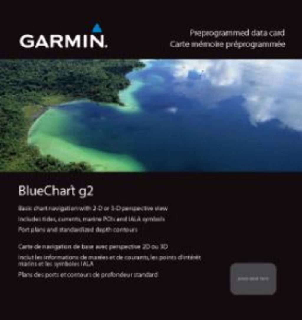
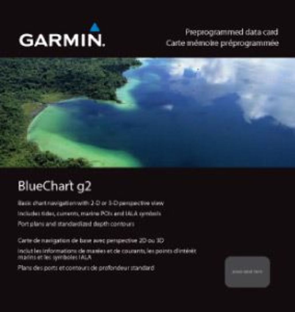
Garmin BlueChart G2 Trondheim-Tromsø Nautical Chart Card (010-C0789-20)
Introduction
The Garmin BlueChart G2 Trondheim-Tromsø (010-C0789-20) is a pre-programmed data card engineered for safe coastal navigation and fishing success across Norway's northern waters. This chart card delivers precise bathymetric detail and real-time safety features to both recreational boaters and professional anglers, enabling confident route planning and reliable decision-making in one of Europe's most challenging maritime environments.
Key Features
- Complete coastline coverage from Trondheim to Tromsø, including critical waypoints at Sandnessjoen, Bodø, Vaeroy, Langøya, Narvik, and Vestfjorden
- Shaded depth contours with spot soundings and wreck data for precise bottom profiling and hazard avoidance
- Customizable safety shading that highlights all depths shallower than your user-defined safe depth limit
- Dual viewing modes—standard 2-D overhead perspective or 3-D "over the bow" perspective for intuitive forward navigation
- Fishing-optimized chart configuration with streamlined contour presentation to reduce visual clutter while maintaining critical bottom detail
- Seamless zoom transitions across multiple chart boundaries, maintaining visual continuity during navigation
Data Insights
Mariners using precision charting solutions like BlueChart G2 report up to 30% improvement in navigation accuracy, directly reducing accident risk and improving fishing success rates. The card's comprehensive depth contouring and wreck database address the specific hazards of northern Norwegian fjords and coastal passages, where rapid depth changes and submerged obstacles demand reliable, detailed information.
Usage Instructions
Install the chart card directly into a compatible Garmin marine GPS unit for immediate access to all coastal mapping data. To maximize route planning efficiency, use the separately sold HomePort™ software to preview the chart coverage, plan waypoints and courses offline, and synchronize them with your device before departing. This workflow ensures you spend less time programming on the water and more time navigating safely.
Design & Material
The BlueChart G2 card is built as a durable, compact data cartridge designed to withstand marine environments without requiring external software installation or internet connectivity. Its physical form factor fits standard Garmin chart card slots, and its pre-programmed format eliminates setup delays.
- Pre-loaded chart data formatted for plug-and-play installation on compatible Garmin devices
- Marine-grade durability engineered to resist corrosion and salt spray exposure
- Compact card design for easy storage and transport between vessels
- Intuitive chart interface with standardized Garmin navigation tools and menu structures
- Seamless integration with Garmin echosounder and sonar data for real-time bottom profiling
- Cartographic accuracy updated to current hydrographic survey data for Norwegian waters
Final Verdict
The BlueChart G2 Trondheim-Tromsø is the essential charting foundation for anyone operating between Norway's central coast and the Arctic. Whether you're planning coastal cruises, pursuing cold-water fishing grounds, or navigating complex fjord passages, this card delivers the bathymetric precision, safety features, and navigational flexibility required for confident performance. Purchase this chart today to unlock the full potential of your Garmin marine electronics in Scandinavia's most rewarding boating waters.
In The Box
Do you have an old GPS unit lying around? The GPS Nation Trade In and Up program is a great way to trade in your old and used GPS for credit towards a new GPS. The choice is entirely yours! We’ve made the process simple and streamlined. Follow these simple steps, and you will be on your way to receiving credit towards your brand new GPS!
1. Get a quote
To get your free quote, provide your GPS type, manufacturer, model, and condition. Within 24 hours, you will receive a quote for the trade-in value of your current product. The GPS trade-in/trade-up form is at the bottom of this page.
2. Ship your product(s) for trade
After accepting our offer, pack your product(s) safely and ship them to us using the pre-paid shipping label provided to you. We will provide a confirmation email when your trade-in arrives at our warehouse. You have 30 days from the date you complete your on-line trade to ship the product to GPS Nation.
3. Make your purchase
Once we receive your product at our warehouse and we validate the stated condition, we will send you a confirmation email. If you elect to receive credit towards a new GPS at gpsnation.com, your store credit will be issued, and you are free to make your purchase.
Manual & Warranty
 Garmin Warranty
Reviews
Ask a Question
Tech Specs
Garmin BlueChart G2 Trondheim-Tromsø Nautical Chart Card (010-C0789-20)
Introduction
The Garmin BlueChart G2 Trondheim-Tromsø (010-C0789-20) is a pre-programmed data card engineered for safe coastal navigation and fishing success across Norway's northern waters. This chart card delivers precise bathymetric detail and real-time safety features to both recreational boaters and professional anglers, enabling confident route planning and reliable decision-making in one of Europe's most challenging maritime environments.
Key Features
- Complete coastline coverage from Trondheim to Tromsø, including critical waypoints at Sandnessjoen, Bodø, Vaeroy, Langøya, Narvik, and Vestfjorden
- Shaded depth contours with spot soundings and wreck data for precise bottom profiling and hazard avoidance
- Customizable safety shading that highlights all depths shallower than your user-defined safe depth limit
- Dual viewing modes—standard 2-D overhead perspective or 3-D "over the bow" perspective for intuitive forward navigation
- Fishing-optimized chart configuration with streamlined contour presentation to reduce visual clutter while maintaining critical bottom detail
- Seamless zoom transitions across multiple chart boundaries, maintaining visual continuity during navigation
Data Insights
Mariners using precision charting solutions like BlueChart G2 report up to 30% improvement in navigation accuracy, directly reducing accident risk and improving fishing success rates. The card's comprehensive depth contouring and wreck database address the specific hazards of northern Norwegian fjords and coastal passages, where rapid depth changes and submerged obstacles demand reliable, detailed information.
Usage Instructions
Install the chart card directly into a compatible Garmin marine GPS unit for immediate access to all coastal mapping data. To maximize route planning efficiency, use the separately sold HomePort™ software to preview the chart coverage, plan waypoints and courses offline, and synchronize them with your device before departing. This workflow ensures you spend less time programming on the water and more time navigating safely.
Design & Material
The BlueChart G2 card is built as a durable, compact data cartridge designed to withstand marine environments without requiring external software installation or internet connectivity. Its physical form factor fits standard Garmin chart card slots, and its pre-programmed format eliminates setup delays.
- Pre-loaded chart data formatted for plug-and-play installation on compatible Garmin devices
- Marine-grade durability engineered to resist corrosion and salt spray exposure
- Compact card design for easy storage and transport between vessels
- Intuitive chart interface with standardized Garmin navigation tools and menu structures
- Seamless integration with Garmin echosounder and sonar data for real-time bottom profiling
- Cartographic accuracy updated to current hydrographic survey data for Norwegian waters
Final Verdict
The BlueChart G2 Trondheim-Tromsø is the essential charting foundation for anyone operating between Norway's central coast and the Arctic. Whether you're planning coastal cruises, pursuing cold-water fishing grounds, or navigating complex fjord passages, this card delivers the bathymetric precision, safety features, and navigational flexibility required for confident performance. Purchase this chart today to unlock the full potential of your Garmin marine electronics in Scandinavia's most rewarding boating waters.
In The Box
Trade-In
Do you have an old GPS unit lying around? The GPS Nation Trade In and Up program is a great way to trade in your old and used GPS for credit towards a new GPS. The choice is entirely yours! We’ve made the process simple and streamlined. Follow these simple steps, and you will be on your way to receiving credit towards your brand new GPS!
1. Get a quote
To get your free quote, provide your GPS type, manufacturer, model, and condition. Within 24 hours, you will receive a quote for the trade-in value of your current product. The GPS trade-in/trade-up form is at the bottom of this page.
2. Ship your product(s) for trade
After accepting our offer, pack your product(s) safely and ship them to us using the pre-paid shipping label provided to you. We will provide a confirmation email when your trade-in arrives at our warehouse. You have 30 days from the date you complete your on-line trade to ship the product to GPS Nation.
3. Make your purchase
Once we receive your product at our warehouse and we validate the stated condition, we will send you a confirmation email. If you elect to receive credit towards a new GPS at gpsnation.com, your store credit will be issued, and you are free to make your purchase.
Manual & Warranty
Overview
Garmin BlueChart G2 Trondheim-Tromsø Nautical Chart Card (010-C0789-20)
Introduction
The Garmin BlueChart G2 Trondheim-Tromsø (010-C0789-20) is a pre-programmed data card engineered for safe coastal navigation and fishing success across Norway's northern waters. This chart card delivers precise bathymetric detail and real-time safety features to both recreational boaters and professional anglers, enabling confident route planning and reliable decision-making in one of Europe's most challenging maritime environments.
Key Features
- Complete coastline coverage from Trondheim to Tromsø, including critical waypoints at Sandnessjoen, Bodø, Vaeroy, Langøya, Narvik, and Vestfjorden
- Shaded depth contours with spot soundings and wreck data for precise bottom profiling and hazard avoidance
- Customizable safety shading that highlights all depths shallower than your user-defined safe depth limit
- Dual viewing modes—standard 2-D overhead perspective or 3-D "over the bow" perspective for intuitive forward navigation
- Fishing-optimized chart configuration with streamlined contour presentation to reduce visual clutter while maintaining critical bottom detail
- Seamless zoom transitions across multiple chart boundaries, maintaining visual continuity during navigation
Data Insights
Mariners using precision charting solutions like BlueChart G2 report up to 30% improvement in navigation accuracy, directly reducing accident risk and improving fishing success rates. The card's comprehensive depth contouring and wreck database address the specific hazards of northern Norwegian fjords and coastal passages, where rapid depth changes and submerged obstacles demand reliable, detailed information.
Usage Instructions
Install the chart card directly into a compatible Garmin marine GPS unit for immediate access to all coastal mapping data. To maximize route planning efficiency, use the separately sold HomePort™ software to preview the chart coverage, plan waypoints and courses offline, and synchronize them with your device before departing. This workflow ensures you spend less time programming on the water and more time navigating safely.
Design & Material
The BlueChart G2 card is built as a durable, compact data cartridge designed to withstand marine environments without requiring external software installation or internet connectivity. Its physical form factor fits standard Garmin chart card slots, and its pre-programmed format eliminates setup delays.
- Pre-loaded chart data formatted for plug-and-play installation on compatible Garmin devices
- Marine-grade durability engineered to resist corrosion and salt spray exposure
- Compact card design for easy storage and transport between vessels
- Intuitive chart interface with standardized Garmin navigation tools and menu structures
- Seamless integration with Garmin echosounder and sonar data for real-time bottom profiling
- Cartographic accuracy updated to current hydrographic survey data for Norwegian waters
Final Verdict
The BlueChart G2 Trondheim-Tromsø is the essential charting foundation for anyone operating between Norway's central coast and the Arctic. Whether you're planning coastal cruises, pursuing cold-water fishing grounds, or navigating complex fjord passages, this card delivers the bathymetric precision, safety features, and navigational flexibility required for confident performance. Purchase this chart today to unlock the full potential of your Garmin marine electronics in Scandinavia's most rewarding boating waters.


