


Garmin Bluechart G2 Vision Alicante-Cabo de Sao Vicente (010-C0799-00)
Garmin Bluechart G2 Vision Alicante-Cabo de Sao Vicente (010-C0799-00)
Model Number: 010-C0799-00
In stock
 WhatsApp
 SMS - Text us!
 Email Us!
 Help Desk

Tech Specs

In The Box
Do you have an old GPS unit lying around? The GPS Nation Trade In and Up program is a great way to trade in your old and used GPS for credit towards a new GPS. The choice is entirely yours! We’ve made the process simple and streamlined. Follow these simple steps, and you will be on your way to receiving credit towards your brand new GPS!
1. Get a quote
To get your free quote, provide your GPS type, manufacturer, model, and condition. Within 24 hours, you will receive a quote for the trade-in value of your current product. The GPS trade-in/trade-up form is at the bottom of this page.
2. Ship your product(s) for trade
After accepting our offer, pack your product(s) safely and ship them to us using the pre-paid shipping label provided to you. We will provide a confirmation email when your trade-in arrives at our warehouse. You have 30 days from the date you complete your on-line trade to ship the product to GPS Nation.
3. Make your purchase
Once we receive your product at our warehouse and we validate the stated condition, we will send you a confirmation email. If you elect to receive credit towards a new GPS at gpsnation.com, your store credit will be issued, and you are free to make your purchase.
Manual & Warranty
 Garmin Warranty
Reviews
Ask a Question
Tech Specs
In The Box
Trade-In
Do you have an old GPS unit lying around? The GPS Nation Trade In and Up program is a great way to trade in your old and used GPS for credit towards a new GPS. The choice is entirely yours! We’ve made the process simple and streamlined. Follow these simple steps, and you will be on your way to receiving credit towards your brand new GPS!
1. Get a quote
To get your free quote, provide your GPS type, manufacturer, model, and condition. Within 24 hours, you will receive a quote for the trade-in value of your current product. The GPS trade-in/trade-up form is at the bottom of this page.
2. Ship your product(s) for trade
After accepting our offer, pack your product(s) safely and ship them to us using the pre-paid shipping label provided to you. We will provide a confirmation email when your trade-in arrives at our warehouse. You have 30 days from the date you complete your on-line trade to ship the product to GPS Nation.
3. Make your purchase
Once we receive your product at our warehouse and we validate the stated condition, we will send you a confirmation email. If you elect to receive credit towards a new GPS at gpsnation.com, your store credit will be issued, and you are free to make your purchase.
Manual & Warranty
Overview
Garmin Bluechart G2 Vision Alicante-Cabo de São Vicente Preprogrammed Data Card
Introduction
The Garmin Bluechart G2 Vision Alicante-Cabo de São Vicente (model 010-C0799-00) is a preprogrammed microSD data card that transforms your compatible Garmin chartplotter or multifunction display into a precision navigation tool for Mediterranean coastal waters. This charting solution delivers detailed maps, satellite imagery, and depth-contour shading across critical boating areas from Denia through Alicante and down to Cabo de São Vicente, enabling boaters and anglers to navigate with confidence while identifying underwater structure, hazards, and optimal fishing grounds.
Key Features
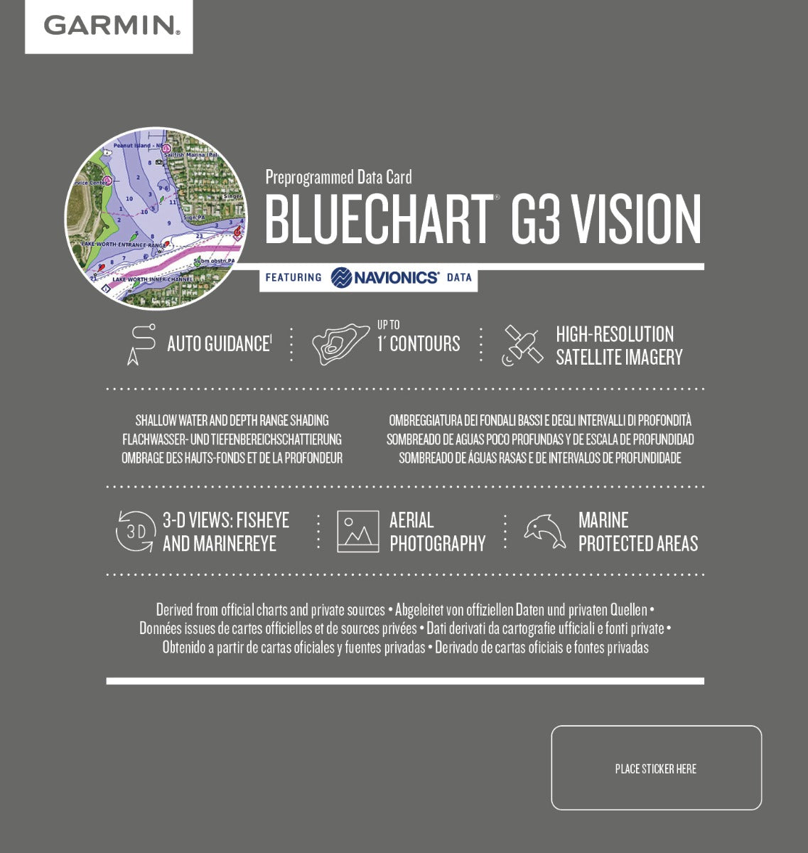
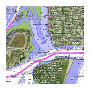
- Shaded depth contours with 1-foot resolution intervals for shallow-water and deep-water navigation
- Auto Guidance technology that automatically calculates and suggests optimal routes based on chart data and vessel size parameters
- High-resolution satellite imagery providing realistic, photomap views of coastal terrain, ports, and marine facilities
- Aerial port and marina photography for visual confirmation of anchorages and landing areas before arrival
- MarinerEye and FishEye 3-D perspective views for assessing underwater topography and navigating around submerged obstacles
- Navionics-sourced chart data with support for 30-plus languages and continuous chart updates via Garmin services
- Seamless zoom transitions between overview and detailed chart levels without pixelation or data loss
Data Insights
Advanced charting solutions like Bluechart G2 Vision reduce navigation errors through precise depth mapping and obstacle identification. The card delivers up to 1-foot contour intervals in shallow areas—critical for Mediterranean waters where rocky outcrops and sandbars pose significant grounding risks. Coverage spans the Alicante and southern Spanish coastal region through Portuguese waters, providing year-round charting for both recreational cruising and professional fishing operations in this complex transitional zone between Atlantic and Mediterranean conditions.
Usage Instructions
Insert the microSD data card into the memory card slot of your compatible Garmin device—consult your chartplotter's manual for card compatibility and insertion guidance. Once recognized, the chart will load automatically. Use your device's touchscreen or keypad to zoom, pan, set waypoints, and activate Auto Guidance routing. Update chart data periodically through Garmin's online services to ensure your device reflects the latest navigational corrections and port information.
Design & Material
The Bluechart G2 Vision data card is engineered as a compact microSD format, designed to integrate seamlessly into Garmin hardware without requiring external adapters or adding deck-mounted equipment. Its construction prioritizes reliability in salt-spray and humid marine environments while maintaining the processing performance needed for real-time chart rendering and GPS position updates.
- MicroSD format construction with corrosion-resistant contacts rated for marine use
- Compact size measuring approximately 15 x 11 x 1 mm—no additional mounting hardware needed
- Lightweight, durable plastic casing that withstands temperature fluctuations and moisture exposure
- Vibrant, high-contrast color mapping for readability in bright sunlight and low-light conditions
- Precision-etched detail layering enabling smooth transitions across zoom levels without data degradation
- Factory-preloaded cartography eliminating the need for manual chart installation or activation codes
Final Verdict
The Garmin Bluechart G2 Vision Alicante-Cabo de São Vicente is an essential upgrade for anyone navigating Spanish and Portuguese Mediterranean or Atlantic coastal waters. The combination of 1-foot depth contours, aerial port photography, Auto Guidance routing, and 3-D perspective views transforms your Garmin device into a professional-grade navigation station. Whether you're cruising unfamiliar anchorages, targeting specific fishing structure, or transiting coastal shipping lanes, this chart delivers the precision and visual context required for confident decision-making. Install this data card today and eliminate guesswork from your next coastal passage.


