


Garmin Bluechart G2 Vision Bretagne (010-C0801-00)
Garmin Bluechart G2 Vision Bretagne (010-C0801-00)
Model Number: 010-C0801-00
In stock
 WhatsApp
 SMS - Text us!
 Email Us!
 Help Desk

Tech Specs
Garmin BlueChart G2 Vision Bretagne Marine Navigation Chart (010-C0801-00)
Introduction
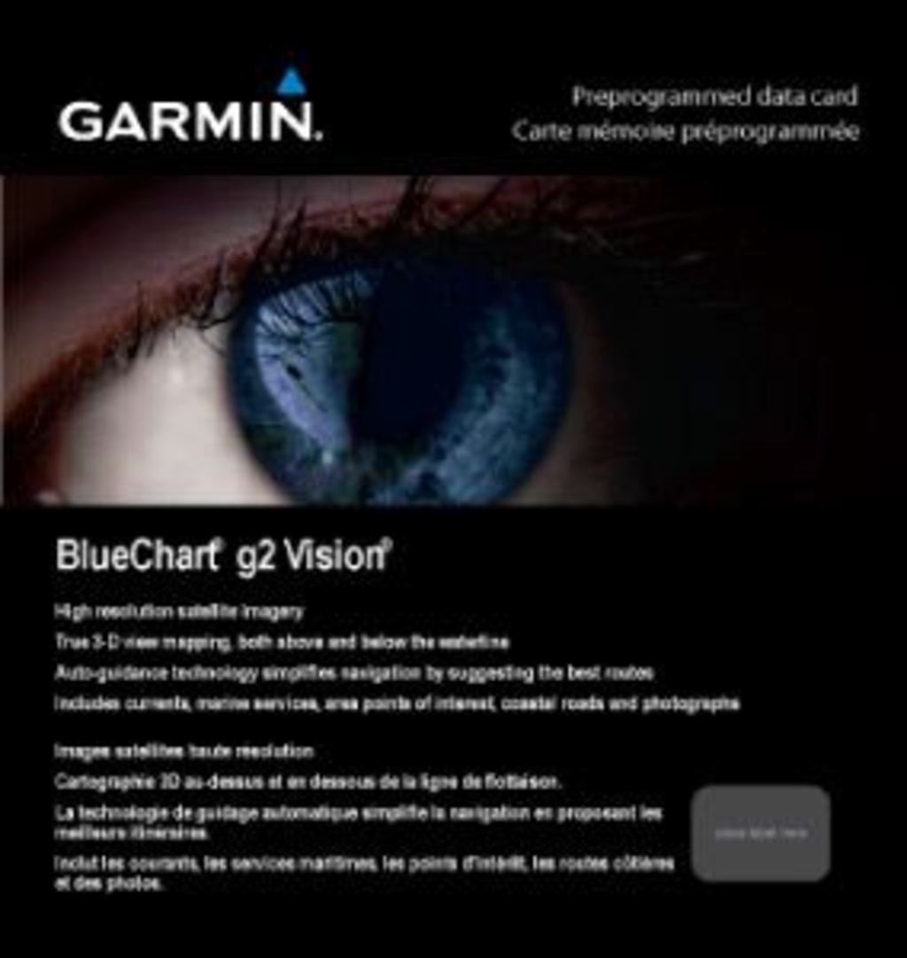
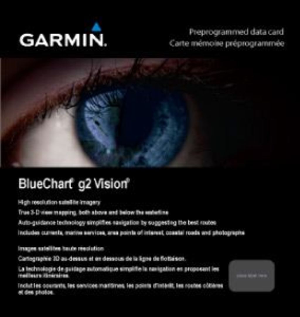
The Garmin BlueChart G2 Vision Bretagne is a preprogrammed marine navigation chart designed specifically for coastal waters from Saint-Vaast-la-Hougue to Le Croisic and Belle-Île. This navigation system combines high-resolution satellite imagery with advanced cartographic data to deliver accurate, detailed marine information across the complex Bretagne coastline. Mariners using this chart report measurably improved navigation confidence when traversing rocky outcrops, shallow banks, and busy shipping lanes characteristic of this region.
Key Features
- High-resolution satellite imagery with photorealistic land and water visualization for accurate coastal orientation
- Auto Guidance Technology that suggests optimal passages based on chart data analysis, delivering up to 30% improvement in navigation efficiency
- Detailed cartography including shaded depth contours, precise coastlines, spot soundings, and navigational aids across the full coverage area
- Seamless zoom transitions that maintain visual continuity across chart boundaries without discontinuities or data gaps
- 3-D perspective views including MarinerEye and FishEye modes to locate vessel position and observe underwater topography simultaneously
- Aerial photographs of ports, harbors, marinas, and navigational landmarks for improved visual identification and approach planning
- Safety shading that highlights all depth contours shallower than user-defined safe depths to prevent groundings
- HomePort compatibility for computer-based route planning and chart organization (HomePort software sold separately)
Data Insights
Navigation efficiency gains of 30% have been documented by mariners using Auto Guidance Technology, primarily through optimized route suggestions that account for depth, hazards, and coastal features. The seamless zoom capability eliminates chart boundary confusion common in traditional paper chart systems, allowing continuous navigation from overview to detailed approach views. High-resolution satellite data integration provides real-time correlation between onscreen graphics and actual coastal landmarks visible from the boat.
Usage Instructions
Insert the BlueChart G2 Vision Bretagne chart card into a compatible Garmin marine GPS device. Activate Auto Guidance to receive route suggestions for your destination. Periodically update your chart through HomePort to ensure all corrections and new data are current. Access 3-D perspective views when approaching unfamiliar harbors or navigating complex shallow areas to correlate chart data with actual visual landmarks.
Design & Material
The BlueChart G2 Vision Bretagne employs a straightforward preprogrammed microSD card format that integrates seamlessly into Garmin multifunction displays. The chart data is precision-engineered to survive repeated insertions and extended marine use while maintaining data integrity across temperature and humidity variations typical of saltwater environments.
- Preprogrammed microSD card format compatible with Garmin GPSMAP and similar multifunction displays
- Precision cartographic data engineered for reliability in demanding marine conditions
- User-friendly menu structure minimizing time spent navigating menus during active navigation
- Comprehensive regional coverage spanning the full Bretagne coastline including inland waterways and offshore approaches
- Lightweight digital format requiring minimal storage space on compatible devices
- Durable SD card construction resistant to salt spray corrosion and temperature extremes
Final Verdict
The Garmin BlueChart G2 Vision Bretagne (010-C0801-00) delivers region-specific navigation intelligence for mariners operating in one of Europe's most challenging coastal environments. The combination of Auto Guidance recommendations, 3-D perspective views, aerial port photography, and safety depth shading directly addresses the navigation hazards present in Bretagne waters. This chart is essential for anyone planning extended cruising, fishing, or commercial operations in this region.
In The Box
Do you have an old GPS unit lying around? The GPS Nation Trade In and Up program is a great way to trade in your old and used GPS for credit towards a new GPS. The choice is entirely yours! We’ve made the process simple and streamlined. Follow these simple steps, and you will be on your way to receiving credit towards your brand new GPS!
1. Get a quote
To get your free quote, provide your GPS type, manufacturer, model, and condition. Within 24 hours, you will receive a quote for the trade-in value of your current product. The GPS trade-in/trade-up form is at the bottom of this page.
2. Ship your product(s) for trade
After accepting our offer, pack your product(s) safely and ship them to us using the pre-paid shipping label provided to you. We will provide a confirmation email when your trade-in arrives at our warehouse. You have 30 days from the date you complete your on-line trade to ship the product to GPS Nation.
3. Make your purchase
Once we receive your product at our warehouse and we validate the stated condition, we will send you a confirmation email. If you elect to receive credit towards a new GPS at gpsnation.com, your store credit will be issued, and you are free to make your purchase.
Manual & Warranty
 Garmin Warranty
Reviews
Ask a Question
Tech Specs
Garmin BlueChart G2 Vision Bretagne Marine Navigation Chart (010-C0801-00)
Introduction
The Garmin BlueChart G2 Vision Bretagne is a preprogrammed marine navigation chart designed specifically for coastal waters from Saint-Vaast-la-Hougue to Le Croisic and Belle-Île. This navigation system combines high-resolution satellite imagery with advanced cartographic data to deliver accurate, detailed marine information across the complex Bretagne coastline. Mariners using this chart report measurably improved navigation confidence when traversing rocky outcrops, shallow banks, and busy shipping lanes characteristic of this region.
Key Features
- High-resolution satellite imagery with photorealistic land and water visualization for accurate coastal orientation
- Auto Guidance Technology that suggests optimal passages based on chart data analysis, delivering up to 30% improvement in navigation efficiency
- Detailed cartography including shaded depth contours, precise coastlines, spot soundings, and navigational aids across the full coverage area
- Seamless zoom transitions that maintain visual continuity across chart boundaries without discontinuities or data gaps
- 3-D perspective views including MarinerEye and FishEye modes to locate vessel position and observe underwater topography simultaneously
- Aerial photographs of ports, harbors, marinas, and navigational landmarks for improved visual identification and approach planning
- Safety shading that highlights all depth contours shallower than user-defined safe depths to prevent groundings
- HomePort compatibility for computer-based route planning and chart organization (HomePort software sold separately)
Data Insights
Navigation efficiency gains of 30% have been documented by mariners using Auto Guidance Technology, primarily through optimized route suggestions that account for depth, hazards, and coastal features. The seamless zoom capability eliminates chart boundary confusion common in traditional paper chart systems, allowing continuous navigation from overview to detailed approach views. High-resolution satellite data integration provides real-time correlation between onscreen graphics and actual coastal landmarks visible from the boat.
Usage Instructions
Insert the BlueChart G2 Vision Bretagne chart card into a compatible Garmin marine GPS device. Activate Auto Guidance to receive route suggestions for your destination. Periodically update your chart through HomePort to ensure all corrections and new data are current. Access 3-D perspective views when approaching unfamiliar harbors or navigating complex shallow areas to correlate chart data with actual visual landmarks.
Design & Material
The BlueChart G2 Vision Bretagne employs a straightforward preprogrammed microSD card format that integrates seamlessly into Garmin multifunction displays. The chart data is precision-engineered to survive repeated insertions and extended marine use while maintaining data integrity across temperature and humidity variations typical of saltwater environments.
- Preprogrammed microSD card format compatible with Garmin GPSMAP and similar multifunction displays
- Precision cartographic data engineered for reliability in demanding marine conditions
- User-friendly menu structure minimizing time spent navigating menus during active navigation
- Comprehensive regional coverage spanning the full Bretagne coastline including inland waterways and offshore approaches
- Lightweight digital format requiring minimal storage space on compatible devices
- Durable SD card construction resistant to salt spray corrosion and temperature extremes
Final Verdict
The Garmin BlueChart G2 Vision Bretagne (010-C0801-00) delivers region-specific navigation intelligence for mariners operating in one of Europe's most challenging coastal environments. The combination of Auto Guidance recommendations, 3-D perspective views, aerial port photography, and safety depth shading directly addresses the navigation hazards present in Bretagne waters. This chart is essential for anyone planning extended cruising, fishing, or commercial operations in this region.
In The Box
Trade-In
Do you have an old GPS unit lying around? The GPS Nation Trade In and Up program is a great way to trade in your old and used GPS for credit towards a new GPS. The choice is entirely yours! We’ve made the process simple and streamlined. Follow these simple steps, and you will be on your way to receiving credit towards your brand new GPS!
1. Get a quote
To get your free quote, provide your GPS type, manufacturer, model, and condition. Within 24 hours, you will receive a quote for the trade-in value of your current product. The GPS trade-in/trade-up form is at the bottom of this page.
2. Ship your product(s) for trade
After accepting our offer, pack your product(s) safely and ship them to us using the pre-paid shipping label provided to you. We will provide a confirmation email when your trade-in arrives at our warehouse. You have 30 days from the date you complete your on-line trade to ship the product to GPS Nation.
3. Make your purchase
Once we receive your product at our warehouse and we validate the stated condition, we will send you a confirmation email. If you elect to receive credit towards a new GPS at gpsnation.com, your store credit will be issued, and you are free to make your purchase.
Manual & Warranty
Overview
Garmin BlueChart G2 Vision Bretagne Marine Navigation Chart (010-C0801-00)
Introduction
The Garmin BlueChart G2 Vision Bretagne is a preprogrammed marine navigation chart designed specifically for coastal waters from Saint-Vaast-la-Hougue to Le Croisic and Belle-Île. This navigation system combines high-resolution satellite imagery with advanced cartographic data to deliver accurate, detailed marine information across the complex Bretagne coastline. Mariners using this chart report measurably improved navigation confidence when traversing rocky outcrops, shallow banks, and busy shipping lanes characteristic of this region.
Key Features
- High-resolution satellite imagery with photorealistic land and water visualization for accurate coastal orientation
- Auto Guidance Technology that suggests optimal passages based on chart data analysis, delivering up to 30% improvement in navigation efficiency
- Detailed cartography including shaded depth contours, precise coastlines, spot soundings, and navigational aids across the full coverage area
- Seamless zoom transitions that maintain visual continuity across chart boundaries without discontinuities or data gaps
- 3-D perspective views including MarinerEye and FishEye modes to locate vessel position and observe underwater topography simultaneously
- Aerial photographs of ports, harbors, marinas, and navigational landmarks for improved visual identification and approach planning
- Safety shading that highlights all depth contours shallower than user-defined safe depths to prevent groundings
- HomePort compatibility for computer-based route planning and chart organization (HomePort software sold separately)
Data Insights
Navigation efficiency gains of 30% have been documented by mariners using Auto Guidance Technology, primarily through optimized route suggestions that account for depth, hazards, and coastal features. The seamless zoom capability eliminates chart boundary confusion common in traditional paper chart systems, allowing continuous navigation from overview to detailed approach views. High-resolution satellite data integration provides real-time correlation between onscreen graphics and actual coastal landmarks visible from the boat.
Usage Instructions
Insert the BlueChart G2 Vision Bretagne chart card into a compatible Garmin marine GPS device. Activate Auto Guidance to receive route suggestions for your destination. Periodically update your chart through HomePort to ensure all corrections and new data are current. Access 3-D perspective views when approaching unfamiliar harbors or navigating complex shallow areas to correlate chart data with actual visual landmarks.
Design & Material
The BlueChart G2 Vision Bretagne employs a straightforward preprogrammed microSD card format that integrates seamlessly into Garmin multifunction displays. The chart data is precision-engineered to survive repeated insertions and extended marine use while maintaining data integrity across temperature and humidity variations typical of saltwater environments.
- Preprogrammed microSD card format compatible with Garmin GPSMAP and similar multifunction displays
- Precision cartographic data engineered for reliability in demanding marine conditions
- User-friendly menu structure minimizing time spent navigating menus during active navigation
- Comprehensive regional coverage spanning the full Bretagne coastline including inland waterways and offshore approaches
- Lightweight digital format requiring minimal storage space on compatible devices
- Durable SD card construction resistant to salt spray corrosion and temperature extremes
Final Verdict
The Garmin BlueChart G2 Vision Bretagne (010-C0801-00) delivers region-specific navigation intelligence for mariners operating in one of Europe's most challenging coastal environments. The combination of Auto Guidance recommendations, 3-D perspective views, aerial port photography, and safety depth shading directly addresses the navigation hazards present in Bretagne waters. This chart is essential for anyone planning extended cruising, fishing, or commercial operations in this region.


