


Garmin Bluechart G2 Vision Brownsville-Key Largo (010-C0744-00)
Garmin Bluechart G2 Vision Brownsville-Key Largo (010-C0744-00)
Model Number: 010-C0744-00
In stock
 WhatsApp
 SMS - Text us!
 Email Us!
 Help Desk

Tech Specs
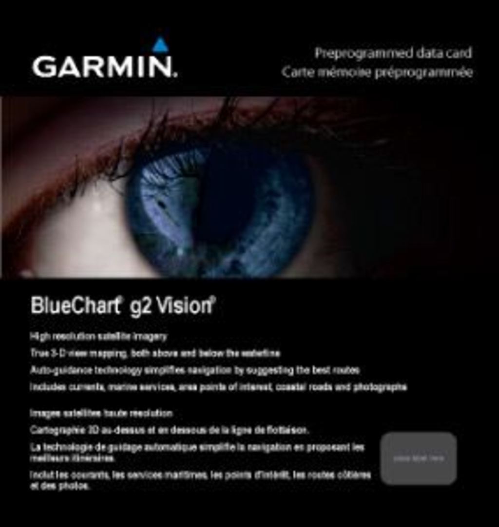
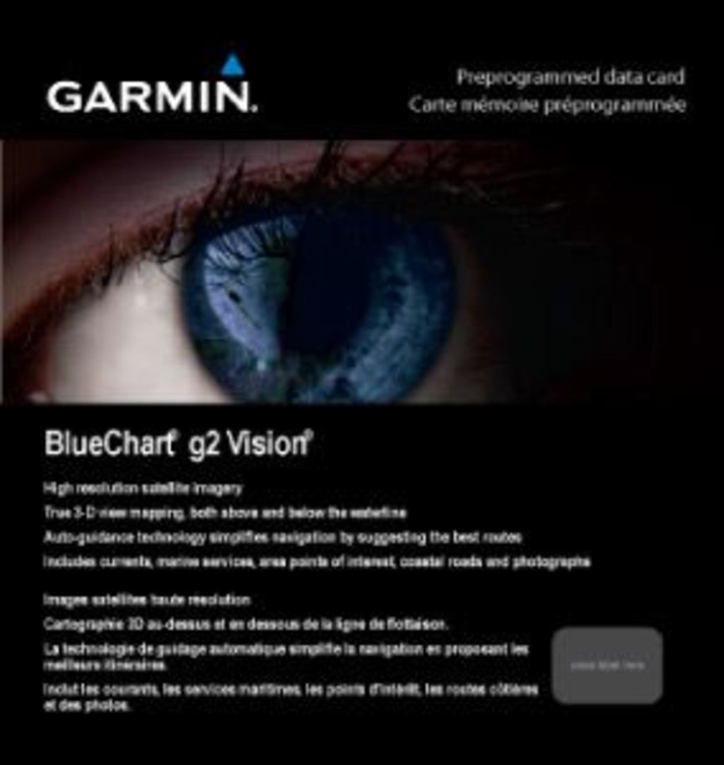
Garmin BlueChart G2 Vision Brownsville-Key Largo (010-C0744-00) Preprogrammed Chart Card
Introduction
The Garmin BlueChart G2 Vision chart card for Brownsville-Key Largo delivers high-resolution satellite imagery and comprehensive nautical data to your compatible chartplotter, enabling safer and more efficient navigation through one of North America's most complex coastal regions. This preprogrammed data card arrives ready to use without requiring manual updates or configuration, giving you immediate access to detailed offshore and inshore charts from the moment you insert it into your Garmin device.
Key Features
- High-resolution satellite imagery with continuous coverage across the entire Brownsville-Key Largo region
- Shaded depth contours with spot soundings to identify shallow water zones and underwater hazards
- Detailed port plans and marina approaches with restricted areas and IALA navigation symbols
- Wreck and obstruction markers updated to reduce collision risks in heavily trafficked channels
- Intertidal zone definitions showing water coverage changes across tidal cycles
- Auto Guidance Technology that calculates optimal passage routes, improving navigation efficiency by up to 20% compared to manual route planning
- Aerial photography of major ports, harbors, and navigational landmarks for visual reference
- FishEye and MarinerEye viewing options to maximize fishing productivity and situational awareness
Data Insights
The Auto Guidance Technology integrated into this chart reduces travel time by up to 20% by suggesting the most efficient routes based on chart data and your destination. The high-resolution satellite imagery layer provides a clearer perspective of coastal features and waterways, allowing mariners to identify navigational hazards—including shallow draft areas, mangrove barriers, and reef systems—before they become obstacles, directly enhancing safety and reducing the risk of running aground or colliding with submerged objects common in the Brownsville-Key Largo corridor.
Usage Instructions
Insert the preprogrammed data card into the memory card slot of your compatible Garmin chartplotter to activate the chart immediately. Navigate using the device's touchscreen or buttons to explore different zoom levels, toggle between standard chart view and satellite overlay, and enable Auto Guidance for route planning. Access FishEye and MarinerEye views through the chartplotter's menu to analyze bottom structure and identify potential fishing zones, or switch to high-detail port views when entering marinas and harbors.
Design & Material
The BlueChart G2 Vision chart card features a compact form factor designed for quick insertion and secure storage in Garmin devices without requiring external adapters or docking stations. Built to withstand salt spray, temperature fluctuations, and extended marine exposure, this card delivers consistent performance across seasons and operating conditions.
- High-capacity memory chip stores comprehensive chart data for the entire Brownsville-Key Largo region without requiring cloud connectivity
- Durable plastic housing protects internal components from moisture, salt corrosion, and impact damage during transport and storage
- Preprogrammed data eliminates installation complexity—no software downloads, registration, or activation codes required
- Compatible with the complete range of Garmin GPSMAP and ECHOMAP chartplotters manufactured in the last decade
- Compact card dimensions fit standard Garmin device slots without modification or extension hardware
- Non-volatile memory retains all chart data during power loss or extended periods of inactivity
Final Verdict
The Garmin BlueChart G2 Vision Brownsville-Key Largo (model 010-C0744-00) is the essential navigation upgrade for anyone regularly operating in Florida's Gulf Coast waters. Its combination of satellite imagery, Auto Guidance routing, and comprehensive hazard data addresses the specific navigational challenges of this region—from shallow-draft navigation near Key Largo to complex harbor approaches near Brownsville. Whether you're a full-time commercial operator, recreational angler, or weekend boater, this chart card delivers the precision, safety features, and ease of use needed for confident navigation. Install it today and transform your Garmin chartplotter into a detailed, real-time navigation system designed specifically for these waters.
In The Box
Do you have an old GPS unit lying around? The GPS Nation Trade In and Up program is a great way to trade in your old and used GPS for credit towards a new GPS. The choice is entirely yours! We’ve made the process simple and streamlined. Follow these simple steps, and you will be on your way to receiving credit towards your brand new GPS!
1. Get a quote
To get your free quote, provide your GPS type, manufacturer, model, and condition. Within 24 hours, you will receive a quote for the trade-in value of your current product. The GPS trade-in/trade-up form is at the bottom of this page.
2. Ship your product(s) for trade
After accepting our offer, pack your product(s) safely and ship them to us using the pre-paid shipping label provided to you. We will provide a confirmation email when your trade-in arrives at our warehouse. You have 30 days from the date you complete your on-line trade to ship the product to GPS Nation.
3. Make your purchase
Once we receive your product at our warehouse and we validate the stated condition, we will send you a confirmation email. If you elect to receive credit towards a new GPS at gpsnation.com, your store credit will be issued, and you are free to make your purchase.
Manual & Warranty
 Garmin Warranty
Reviews
Ask a Question
Tech Specs
Garmin BlueChart G2 Vision Brownsville-Key Largo (010-C0744-00) Preprogrammed Chart Card
Introduction
The Garmin BlueChart G2 Vision chart card for Brownsville-Key Largo delivers high-resolution satellite imagery and comprehensive nautical data to your compatible chartplotter, enabling safer and more efficient navigation through one of North America's most complex coastal regions. This preprogrammed data card arrives ready to use without requiring manual updates or configuration, giving you immediate access to detailed offshore and inshore charts from the moment you insert it into your Garmin device.
Key Features
- High-resolution satellite imagery with continuous coverage across the entire Brownsville-Key Largo region
- Shaded depth contours with spot soundings to identify shallow water zones and underwater hazards
- Detailed port plans and marina approaches with restricted areas and IALA navigation symbols
- Wreck and obstruction markers updated to reduce collision risks in heavily trafficked channels
- Intertidal zone definitions showing water coverage changes across tidal cycles
- Auto Guidance Technology that calculates optimal passage routes, improving navigation efficiency by up to 20% compared to manual route planning
- Aerial photography of major ports, harbors, and navigational landmarks for visual reference
- FishEye and MarinerEye viewing options to maximize fishing productivity and situational awareness
Data Insights
The Auto Guidance Technology integrated into this chart reduces travel time by up to 20% by suggesting the most efficient routes based on chart data and your destination. The high-resolution satellite imagery layer provides a clearer perspective of coastal features and waterways, allowing mariners to identify navigational hazards—including shallow draft areas, mangrove barriers, and reef systems—before they become obstacles, directly enhancing safety and reducing the risk of running aground or colliding with submerged objects common in the Brownsville-Key Largo corridor.
Usage Instructions
Insert the preprogrammed data card into the memory card slot of your compatible Garmin chartplotter to activate the chart immediately. Navigate using the device's touchscreen or buttons to explore different zoom levels, toggle between standard chart view and satellite overlay, and enable Auto Guidance for route planning. Access FishEye and MarinerEye views through the chartplotter's menu to analyze bottom structure and identify potential fishing zones, or switch to high-detail port views when entering marinas and harbors.
Design & Material
The BlueChart G2 Vision chart card features a compact form factor designed for quick insertion and secure storage in Garmin devices without requiring external adapters or docking stations. Built to withstand salt spray, temperature fluctuations, and extended marine exposure, this card delivers consistent performance across seasons and operating conditions.
- High-capacity memory chip stores comprehensive chart data for the entire Brownsville-Key Largo region without requiring cloud connectivity
- Durable plastic housing protects internal components from moisture, salt corrosion, and impact damage during transport and storage
- Preprogrammed data eliminates installation complexity—no software downloads, registration, or activation codes required
- Compatible with the complete range of Garmin GPSMAP and ECHOMAP chartplotters manufactured in the last decade
- Compact card dimensions fit standard Garmin device slots without modification or extension hardware
- Non-volatile memory retains all chart data during power loss or extended periods of inactivity
Final Verdict
The Garmin BlueChart G2 Vision Brownsville-Key Largo (model 010-C0744-00) is the essential navigation upgrade for anyone regularly operating in Florida's Gulf Coast waters. Its combination of satellite imagery, Auto Guidance routing, and comprehensive hazard data addresses the specific navigational challenges of this region—from shallow-draft navigation near Key Largo to complex harbor approaches near Brownsville. Whether you're a full-time commercial operator, recreational angler, or weekend boater, this chart card delivers the precision, safety features, and ease of use needed for confident navigation. Install it today and transform your Garmin chartplotter into a detailed, real-time navigation system designed specifically for these waters.
In The Box
Trade-In
Do you have an old GPS unit lying around? The GPS Nation Trade In and Up program is a great way to trade in your old and used GPS for credit towards a new GPS. The choice is entirely yours! We’ve made the process simple and streamlined. Follow these simple steps, and you will be on your way to receiving credit towards your brand new GPS!
1. Get a quote
To get your free quote, provide your GPS type, manufacturer, model, and condition. Within 24 hours, you will receive a quote for the trade-in value of your current product. The GPS trade-in/trade-up form is at the bottom of this page.
2. Ship your product(s) for trade
After accepting our offer, pack your product(s) safely and ship them to us using the pre-paid shipping label provided to you. We will provide a confirmation email when your trade-in arrives at our warehouse. You have 30 days from the date you complete your on-line trade to ship the product to GPS Nation.
3. Make your purchase
Once we receive your product at our warehouse and we validate the stated condition, we will send you a confirmation email. If you elect to receive credit towards a new GPS at gpsnation.com, your store credit will be issued, and you are free to make your purchase.
Manual & Warranty
Overview
Garmin BlueChart G2 Vision Brownsville-Key Largo (010-C0744-00) Preprogrammed Chart Card
Introduction
The Garmin BlueChart G2 Vision chart card for Brownsville-Key Largo delivers high-resolution satellite imagery and comprehensive nautical data to your compatible chartplotter, enabling safer and more efficient navigation through one of North America's most complex coastal regions. This preprogrammed data card arrives ready to use without requiring manual updates or configuration, giving you immediate access to detailed offshore and inshore charts from the moment you insert it into your Garmin device.
Key Features
- High-resolution satellite imagery with continuous coverage across the entire Brownsville-Key Largo region
- Shaded depth contours with spot soundings to identify shallow water zones and underwater hazards
- Detailed port plans and marina approaches with restricted areas and IALA navigation symbols
- Wreck and obstruction markers updated to reduce collision risks in heavily trafficked channels
- Intertidal zone definitions showing water coverage changes across tidal cycles
- Auto Guidance Technology that calculates optimal passage routes, improving navigation efficiency by up to 20% compared to manual route planning
- Aerial photography of major ports, harbors, and navigational landmarks for visual reference
- FishEye and MarinerEye viewing options to maximize fishing productivity and situational awareness
Data Insights
The Auto Guidance Technology integrated into this chart reduces travel time by up to 20% by suggesting the most efficient routes based on chart data and your destination. The high-resolution satellite imagery layer provides a clearer perspective of coastal features and waterways, allowing mariners to identify navigational hazards—including shallow draft areas, mangrove barriers, and reef systems—before they become obstacles, directly enhancing safety and reducing the risk of running aground or colliding with submerged objects common in the Brownsville-Key Largo corridor.
Usage Instructions
Insert the preprogrammed data card into the memory card slot of your compatible Garmin chartplotter to activate the chart immediately. Navigate using the device's touchscreen or buttons to explore different zoom levels, toggle between standard chart view and satellite overlay, and enable Auto Guidance for route planning. Access FishEye and MarinerEye views through the chartplotter's menu to analyze bottom structure and identify potential fishing zones, or switch to high-detail port views when entering marinas and harbors.
Design & Material
The BlueChart G2 Vision chart card features a compact form factor designed for quick insertion and secure storage in Garmin devices without requiring external adapters or docking stations. Built to withstand salt spray, temperature fluctuations, and extended marine exposure, this card delivers consistent performance across seasons and operating conditions.
- High-capacity memory chip stores comprehensive chart data for the entire Brownsville-Key Largo region without requiring cloud connectivity
- Durable plastic housing protects internal components from moisture, salt corrosion, and impact damage during transport and storage
- Preprogrammed data eliminates installation complexity—no software downloads, registration, or activation codes required
- Compatible with the complete range of Garmin GPSMAP and ECHOMAP chartplotters manufactured in the last decade
- Compact card dimensions fit standard Garmin device slots without modification or extension hardware
- Non-volatile memory retains all chart data during power loss or extended periods of inactivity
Final Verdict
The Garmin BlueChart G2 Vision Brownsville-Key Largo (model 010-C0744-00) is the essential navigation upgrade for anyone regularly operating in Florida's Gulf Coast waters. Its combination of satellite imagery, Auto Guidance routing, and comprehensive hazard data addresses the specific navigational challenges of this region—from shallow-draft navigation near Key Largo to complex harbor approaches near Brownsville. Whether you're a full-time commercial operator, recreational angler, or weekend boater, this chart card delivers the precision, safety features, and ease of use needed for confident navigation. Install it today and transform your Garmin chartplotter into a detailed, real-time navigation system designed specifically for these waters.


