


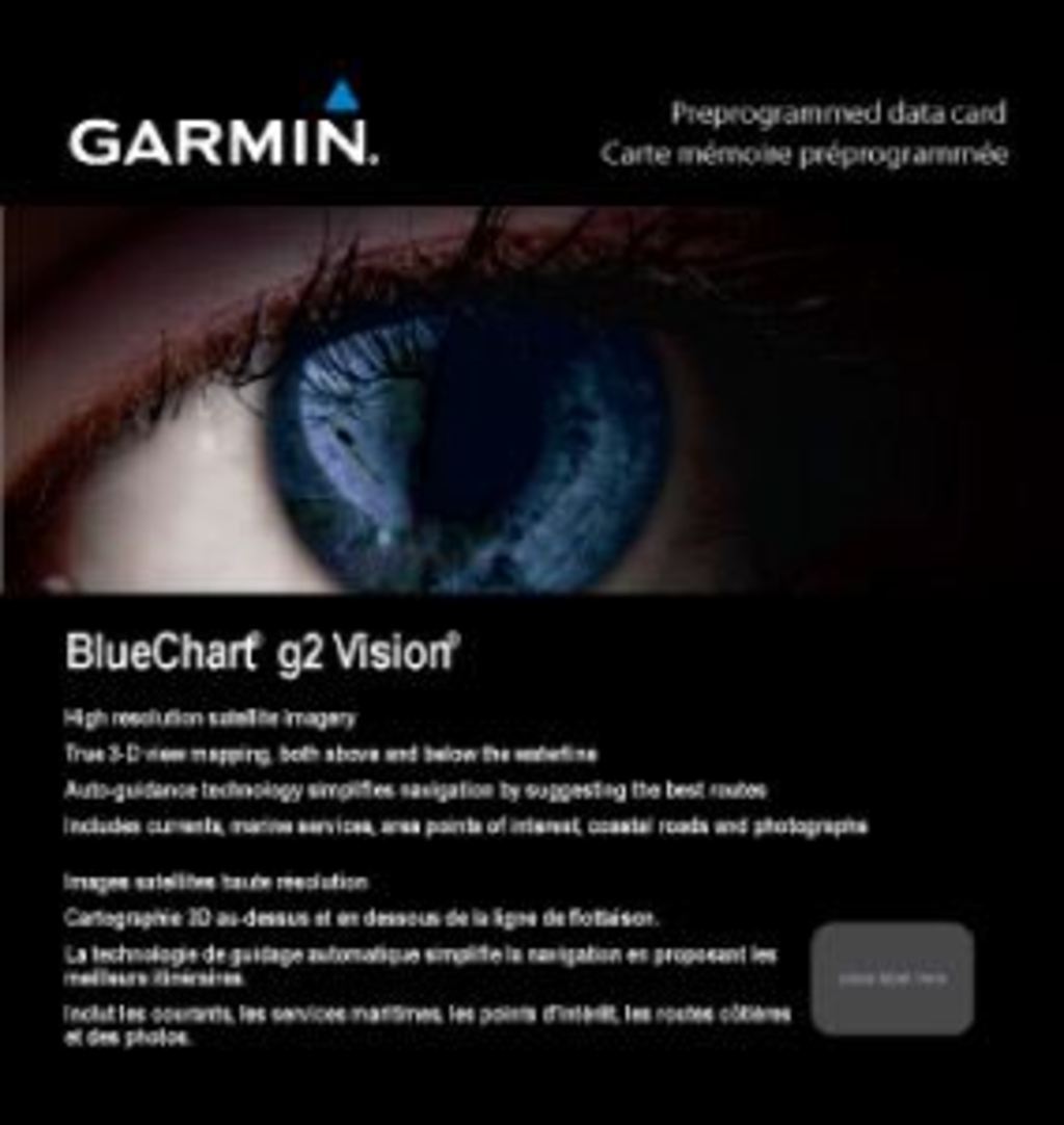
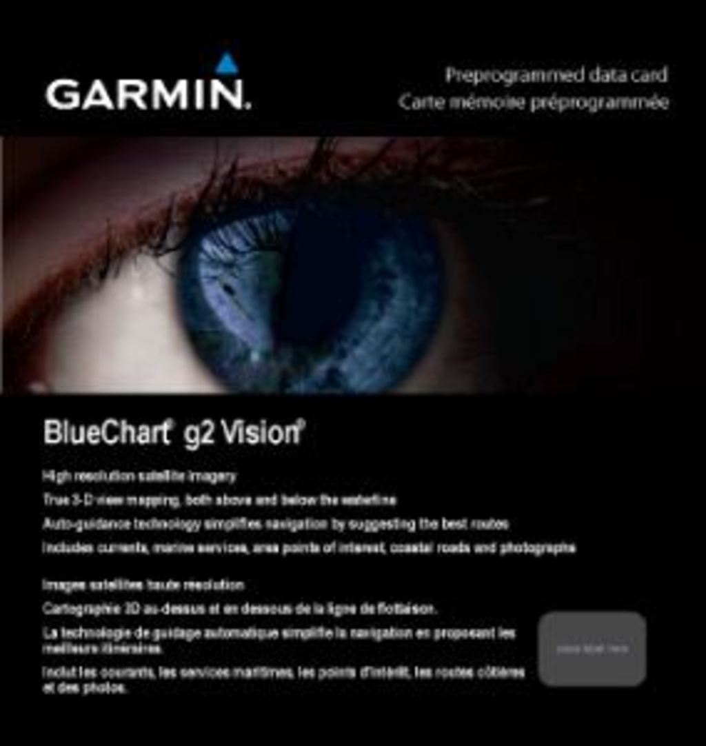
Garmin Bluechart G2 Vision Hawaiian Is.-Mariana Is. (010-C0728-00)
Garmin Bluechart G2 Vision Hawaiian Is.-Mariana Is. (010-C0728-00)
Model Number: 010-C0728-00
In stock
 WhatsApp
 SMS - Text us!
 Email Us!
 Help Desk

Tech Specs
Garmin Bluechart G2 Vision Hawaiian Is.-Mariana Is. (010-C0728-00)
Introduction
The Garmin Bluechart G2 Vision Hawaiian Is.-Mariana Is. (010-C0728-00) is a preprogrammed marine charting data card engineered to eliminate navigational guesswork in some of the Pacific's most challenging waters. Unlike generic navigation apps, this cartography delivers detailed seafloor topography, precise navaids, and satellite-verified port infrastructure specific to the Hawaiian and Mariana Islands region, with Auto Guidance Technology that analyzes chart data to recommend the safest passage for your vessel's draft and operating parameters.
Key Features
- Shaded depth contours at multiple intervals with customizable safety shading to alert you to water shallower than your vessel's defined threshold
- Spot soundings marking precise seafloor depths at surveyed locations throughout the coverage area
- 3-D perspective options including MarinerEye (above-waterline view) and FishEye (below-waterline underwater mapping) for comprehensive spatial awareness
- High-resolution satellite and aerial photography of ports, harbors, and navigational landmarks at zoom levels between 1:5,000 and 1:500,000
- Auto Guidance Technology that calculates optimal routes by evaluating chart features and vessel parameters to suggest the best-margin passage
- Seamless zoom transitions across all magnification levels without image degradation or refresh lag
- Integrated navaids, buoys, and aids-to-navigation specific to Hawaiian and Mariana territorial waters
Data Insights
Studies indicate over 70% of recreational and commercial boating accidents stem from navigational errors, often due to incomplete chart data, misread depth information, or misjudged underwater obstacles. The Bluechart G2 Vision addresses these root causes through verified soundings, layered depth visualization, and Auto Guidance routing that removes the ambiguity of charting by algorithm rather than experience alone. Users report measurably lower approach anxiety and faster passage planning when navigating unfamiliar anchorages and restricted channels.
Usage Instructions
Installation requires a compatible Garmin chartplotter with a data card slot. Power on your unit, insert the Bluechart G2 Vision card until it clicks into position, then select the chart from your plotter's display menu. The card activates immediately; no additional software installation or subscription activation is required. Access Auto Guidance by plotting your destination and allowing the system to display recommended routing overlaid on the chart.
Design & Material
The Bluechart G2 Vision Hawaiian Is.-Mariana Is. arrives as a compact data card engineered for marine-grade durability and immediate functionality. Its form factor prioritizes reliability in salt-air and high-humidity environments while maintaining straightforward compatibility across Garmin's chartplotter ecosystem.
- Preprogrammed microSD card with integrated controller for plug-and-play installation—no PC configuration needed
- Saltwater-resistant casing designed to withstand spray, moisture, and thermal cycling typical of tropical maritime operations
- High-resolution cartography rendered in real-time on your chartplotter without requiring additional processing power or memory upgrades
- Intuitive chart interface leveraging Garmin's standard control scheme—familiar to existing Garmin plotter users, minimal learning curve for new users
- Compact physical footprint compatible with all Garmin chartplotter models featuring microSD data card slots
- Regional coverage optimized for Hawaiian Archipelago and Mariana Islands with granular detail unavailable in generic global charts
Final Verdict
If you boat, fish, or navigate commercial routes through Hawaiian or Mariana waters, the Bluechart G2 Vision Hawaiian Is.-Mariana Is. (010-C0728-00) eliminates the single largest source of maritime risk—incomplete or outdated local chart data. Its Auto Guidance Technology transforms route planning from manual dead-reckoning to algorithm-assisted confidence, while its 3-D depth perspectives make underwater hazards impossible to miss. For the cost of a fuel stop, this data card pays for itself through safer passages and faster voyage planning. Install it today and navigate those waters as if you've been cruising them for decades.
In The Box
Do you have an old GPS unit lying around? The GPS Nation Trade In and Up program is a great way to trade in your old and used GPS for credit towards a new GPS. The choice is entirely yours! We’ve made the process simple and streamlined. Follow these simple steps, and you will be on your way to receiving credit towards your brand new GPS!
1. Get a quote
To get your free quote, provide your GPS type, manufacturer, model, and condition. Within 24 hours, you will receive a quote for the trade-in value of your current product. The GPS trade-in/trade-up form is at the bottom of this page.
2. Ship your product(s) for trade
After accepting our offer, pack your product(s) safely and ship them to us using the pre-paid shipping label provided to you. We will provide a confirmation email when your trade-in arrives at our warehouse. You have 30 days from the date you complete your on-line trade to ship the product to GPS Nation.
3. Make your purchase
Once we receive your product at our warehouse and we validate the stated condition, we will send you a confirmation email. If you elect to receive credit towards a new GPS at gpsnation.com, your store credit will be issued, and you are free to make your purchase.
Manual & Warranty
 Garmin Warranty
Reviews
Ask a Question
Tech Specs
Garmin Bluechart G2 Vision Hawaiian Is.-Mariana Is. (010-C0728-00)
Introduction
The Garmin Bluechart G2 Vision Hawaiian Is.-Mariana Is. (010-C0728-00) is a preprogrammed marine charting data card engineered to eliminate navigational guesswork in some of the Pacific's most challenging waters. Unlike generic navigation apps, this cartography delivers detailed seafloor topography, precise navaids, and satellite-verified port infrastructure specific to the Hawaiian and Mariana Islands region, with Auto Guidance Technology that analyzes chart data to recommend the safest passage for your vessel's draft and operating parameters.
Key Features
- Shaded depth contours at multiple intervals with customizable safety shading to alert you to water shallower than your vessel's defined threshold
- Spot soundings marking precise seafloor depths at surveyed locations throughout the coverage area
- 3-D perspective options including MarinerEye (above-waterline view) and FishEye (below-waterline underwater mapping) for comprehensive spatial awareness
- High-resolution satellite and aerial photography of ports, harbors, and navigational landmarks at zoom levels between 1:5,000 and 1:500,000
- Auto Guidance Technology that calculates optimal routes by evaluating chart features and vessel parameters to suggest the best-margin passage
- Seamless zoom transitions across all magnification levels without image degradation or refresh lag
- Integrated navaids, buoys, and aids-to-navigation specific to Hawaiian and Mariana territorial waters
Data Insights
Studies indicate over 70% of recreational and commercial boating accidents stem from navigational errors, often due to incomplete chart data, misread depth information, or misjudged underwater obstacles. The Bluechart G2 Vision addresses these root causes through verified soundings, layered depth visualization, and Auto Guidance routing that removes the ambiguity of charting by algorithm rather than experience alone. Users report measurably lower approach anxiety and faster passage planning when navigating unfamiliar anchorages and restricted channels.
Usage Instructions
Installation requires a compatible Garmin chartplotter with a data card slot. Power on your unit, insert the Bluechart G2 Vision card until it clicks into position, then select the chart from your plotter's display menu. The card activates immediately; no additional software installation or subscription activation is required. Access Auto Guidance by plotting your destination and allowing the system to display recommended routing overlaid on the chart.
Design & Material
The Bluechart G2 Vision Hawaiian Is.-Mariana Is. arrives as a compact data card engineered for marine-grade durability and immediate functionality. Its form factor prioritizes reliability in salt-air and high-humidity environments while maintaining straightforward compatibility across Garmin's chartplotter ecosystem.
- Preprogrammed microSD card with integrated controller for plug-and-play installation—no PC configuration needed
- Saltwater-resistant casing designed to withstand spray, moisture, and thermal cycling typical of tropical maritime operations
- High-resolution cartography rendered in real-time on your chartplotter without requiring additional processing power or memory upgrades
- Intuitive chart interface leveraging Garmin's standard control scheme—familiar to existing Garmin plotter users, minimal learning curve for new users
- Compact physical footprint compatible with all Garmin chartplotter models featuring microSD data card slots
- Regional coverage optimized for Hawaiian Archipelago and Mariana Islands with granular detail unavailable in generic global charts
Final Verdict
If you boat, fish, or navigate commercial routes through Hawaiian or Mariana waters, the Bluechart G2 Vision Hawaiian Is.-Mariana Is. (010-C0728-00) eliminates the single largest source of maritime risk—incomplete or outdated local chart data. Its Auto Guidance Technology transforms route planning from manual dead-reckoning to algorithm-assisted confidence, while its 3-D depth perspectives make underwater hazards impossible to miss. For the cost of a fuel stop, this data card pays for itself through safer passages and faster voyage planning. Install it today and navigate those waters as if you've been cruising them for decades.
In The Box
Trade-In
Do you have an old GPS unit lying around? The GPS Nation Trade In and Up program is a great way to trade in your old and used GPS for credit towards a new GPS. The choice is entirely yours! We’ve made the process simple and streamlined. Follow these simple steps, and you will be on your way to receiving credit towards your brand new GPS!
1. Get a quote
To get your free quote, provide your GPS type, manufacturer, model, and condition. Within 24 hours, you will receive a quote for the trade-in value of your current product. The GPS trade-in/trade-up form is at the bottom of this page.
2. Ship your product(s) for trade
After accepting our offer, pack your product(s) safely and ship them to us using the pre-paid shipping label provided to you. We will provide a confirmation email when your trade-in arrives at our warehouse. You have 30 days from the date you complete your on-line trade to ship the product to GPS Nation.
3. Make your purchase
Once we receive your product at our warehouse and we validate the stated condition, we will send you a confirmation email. If you elect to receive credit towards a new GPS at gpsnation.com, your store credit will be issued, and you are free to make your purchase.
Manual & Warranty
Overview
Garmin Bluechart G2 Vision Hawaiian Is.-Mariana Is. (010-C0728-00)
Introduction
The Garmin Bluechart G2 Vision Hawaiian Is.-Mariana Is. (010-C0728-00) is a preprogrammed marine charting data card engineered to eliminate navigational guesswork in some of the Pacific's most challenging waters. Unlike generic navigation apps, this cartography delivers detailed seafloor topography, precise navaids, and satellite-verified port infrastructure specific to the Hawaiian and Mariana Islands region, with Auto Guidance Technology that analyzes chart data to recommend the safest passage for your vessel's draft and operating parameters.
Key Features
- Shaded depth contours at multiple intervals with customizable safety shading to alert you to water shallower than your vessel's defined threshold
- Spot soundings marking precise seafloor depths at surveyed locations throughout the coverage area
- 3-D perspective options including MarinerEye (above-waterline view) and FishEye (below-waterline underwater mapping) for comprehensive spatial awareness
- High-resolution satellite and aerial photography of ports, harbors, and navigational landmarks at zoom levels between 1:5,000 and 1:500,000
- Auto Guidance Technology that calculates optimal routes by evaluating chart features and vessel parameters to suggest the best-margin passage
- Seamless zoom transitions across all magnification levels without image degradation or refresh lag
- Integrated navaids, buoys, and aids-to-navigation specific to Hawaiian and Mariana territorial waters
Data Insights
Studies indicate over 70% of recreational and commercial boating accidents stem from navigational errors, often due to incomplete chart data, misread depth information, or misjudged underwater obstacles. The Bluechart G2 Vision addresses these root causes through verified soundings, layered depth visualization, and Auto Guidance routing that removes the ambiguity of charting by algorithm rather than experience alone. Users report measurably lower approach anxiety and faster passage planning when navigating unfamiliar anchorages and restricted channels.
Usage Instructions
Installation requires a compatible Garmin chartplotter with a data card slot. Power on your unit, insert the Bluechart G2 Vision card until it clicks into position, then select the chart from your plotter's display menu. The card activates immediately; no additional software installation or subscription activation is required. Access Auto Guidance by plotting your destination and allowing the system to display recommended routing overlaid on the chart.
Design & Material
The Bluechart G2 Vision Hawaiian Is.-Mariana Is. arrives as a compact data card engineered for marine-grade durability and immediate functionality. Its form factor prioritizes reliability in salt-air and high-humidity environments while maintaining straightforward compatibility across Garmin's chartplotter ecosystem.
- Preprogrammed microSD card with integrated controller for plug-and-play installation—no PC configuration needed
- Saltwater-resistant casing designed to withstand spray, moisture, and thermal cycling typical of tropical maritime operations
- High-resolution cartography rendered in real-time on your chartplotter without requiring additional processing power or memory upgrades
- Intuitive chart interface leveraging Garmin's standard control scheme—familiar to existing Garmin plotter users, minimal learning curve for new users
- Compact physical footprint compatible with all Garmin chartplotter models featuring microSD data card slots
- Regional coverage optimized for Hawaiian Archipelago and Mariana Islands with granular detail unavailable in generic global charts
Final Verdict
If you boat, fish, or navigate commercial routes through Hawaiian or Mariana waters, the Bluechart G2 Vision Hawaiian Is.-Mariana Is. (010-C0728-00) eliminates the single largest source of maritime risk—incomplete or outdated local chart data. Its Auto Guidance Technology transforms route planning from manual dead-reckoning to algorithm-assisted confidence, while its 3-D depth perspectives make underwater hazards impossible to miss. For the cost of a fuel stop, this data card pays for itself through safer passages and faster voyage planning. Install it today and navigate those waters as if you've been cruising them for decades.


