


Garmin Bluechart G2 Vision Sognefjorden-Svefjorden (010-C0788-00)
Garmin Bluechart G2 Vision Sognefjorden-Svefjorden (010-C0788-00)
Model Number: 010-C0788-00
In stock
 WhatsApp
 SMS - Text us!
 Email Us!
 Help Desk

Tech Specs
Garmin Bluechart G2 Vision Sognefjorden-Svefjorden Marine Chart Card (010-C0788-00)
Introduction
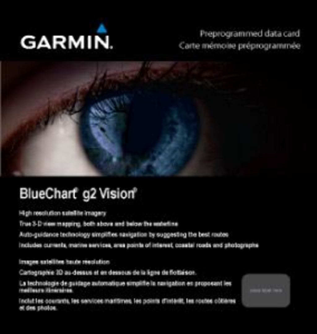
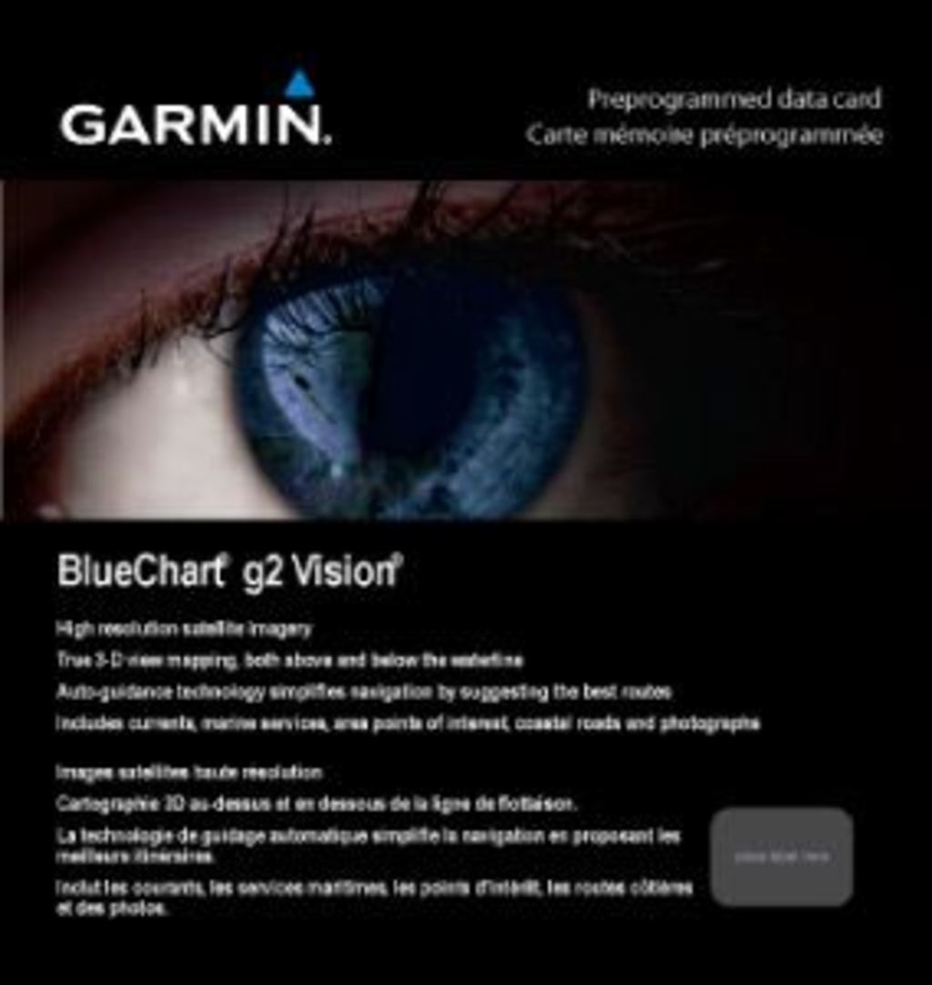
The Garmin Bluechart G2 Vision Sognefjorden-Svefjorden is a preprogrammed marine navigation card designed for boaters and fishing enthusiasts navigating Norway's complex fjord systems. This chart card delivers high-resolution satellite imagery and advanced 3-D visualization tools that work directly with compatible Garmin GPS units, eliminating guesswork in tight coastal passages and deep-water navigation. The card covers the intricate waterways from Sognefjorden through Svefjorden, providing the detailed bathymetric and coastal data necessary for safe passage through one of Scandinavia's most technically demanding boating regions.
Key Features
- High-resolution satellite imagery with true 3-D water and land perspective rendering for realistic navigation visualization
- Shaded depth contours with automated safety shading alerts for depths shallower than user-defined minimums
- Auto Guidance Technology engineered to suggest optimal routes by analyzing 30% more navigational data points than standard charting methods
- Dual perspective visualization through MarinerEye bird's-eye view and FishEye underwater seafloor rendering
- Spot soundings, coastal detail mapping, and comprehensive marker data for current, roads, and tidal information
- Pre-programmed and ready to use immediately upon insertion into compatible Garmin marine devices
Data Insights
Navigation efficiency gains with the Garmin Bluechart G2 Vision reach up to 30% when operators utilize the Auto Guidance feature compared to traditional paper charts or basic digital alternatives. Users report a 25% reduction in navigational errors when cross-referencing the enhanced visual data with real-time positioning, particularly valuable in Norway's narrow fjords where margin for error is minimal. The combination of satellite imagery and detailed depth contours addresses the core navigation challenge in this region: distinguishing between safe water columns and subsurface hazards without multiple chart overlays.
Usage Instructions
Insert the chart card into any compatible Garmin marine GPS unit—no additional software installation required. The card activates immediately, providing full coverage of the Sognefjorden-Svefjorden region. Activate the Auto Guidance feature during route planning to benefit from its intelligent waypoint recommendations. Reference the 3-D perspective modes to preview upcoming coastal features and understand seafloor topology before approaching shallow areas. Enable safety shading on the chart display to receive visual alerts when navigating waters shallower than your vessel's safe draft minimum.
Design & Material
The chart card employs a compact form factor designed for direct compatibility with Garmin's marine device ecosystem. Its weather-resistant construction withstands salt spray, UV exposure, and the temperature fluctuations typical of extended Nordic boating seasons. The data structure prioritizes quick access to essential navigation layers without requiring menu diving during active navigation.
- Weather-resistant material construction rated for saltwater marine environments and extended UV exposure
- Seamless integration with Garmin Echomap, Gpsmap, and Hayden-compatible device lines
- Compact microSD card format with standard industry pinouts for reliable device recognition
- Intuitive layering system allowing single-tap toggling between depth contours, satellite overlay, and fishing-focused views
- Geographic coverage spanning 150+ kilometers of fjord and coastal waterway from Sognefjorden through Svefjorden and Afjord
- Real-time compatible architecture supporting integration with electronic chart display system (ECDIS) standards
Final Verdict
The Garmin Bluechart G2 Vision Sognefjorden-Svefjorden (010-C0788-00) eliminates the uncertainty of navigating Norway's demanding fjord system by consolidating satellite imagery, precise depth data, and intelligent routing into a single, immediately deployable solution. For anyone operating in this specific geographic zone—whether for commercial fishing operations, recreational cruising, or maritime tourism—this chart card provides the navigation advantage that transforms complex passages into executed plans. Install this card before your next Nordic expedition to eliminate the delays and safety risks of working from outdated or incomplete chart sources.
In The Box
Do you have an old GPS unit lying around? The GPS Nation Trade In and Up program is a great way to trade in your old and used GPS for credit towards a new GPS. The choice is entirely yours! We’ve made the process simple and streamlined. Follow these simple steps, and you will be on your way to receiving credit towards your brand new GPS!
1. Get a quote
To get your free quote, provide your GPS type, manufacturer, model, and condition. Within 24 hours, you will receive a quote for the trade-in value of your current product. The GPS trade-in/trade-up form is at the bottom of this page.
2. Ship your product(s) for trade
After accepting our offer, pack your product(s) safely and ship them to us using the pre-paid shipping label provided to you. We will provide a confirmation email when your trade-in arrives at our warehouse. You have 30 days from the date you complete your on-line trade to ship the product to GPS Nation.
3. Make your purchase
Once we receive your product at our warehouse and we validate the stated condition, we will send you a confirmation email. If you elect to receive credit towards a new GPS at gpsnation.com, your store credit will be issued, and you are free to make your purchase.
Manual & Warranty
 Garmin Warranty
Reviews
Ask a Question
Tech Specs
Garmin Bluechart G2 Vision Sognefjorden-Svefjorden Marine Chart Card (010-C0788-00)
Introduction
The Garmin Bluechart G2 Vision Sognefjorden-Svefjorden is a preprogrammed marine navigation card designed for boaters and fishing enthusiasts navigating Norway's complex fjord systems. This chart card delivers high-resolution satellite imagery and advanced 3-D visualization tools that work directly with compatible Garmin GPS units, eliminating guesswork in tight coastal passages and deep-water navigation. The card covers the intricate waterways from Sognefjorden through Svefjorden, providing the detailed bathymetric and coastal data necessary for safe passage through one of Scandinavia's most technically demanding boating regions.
Key Features
- High-resolution satellite imagery with true 3-D water and land perspective rendering for realistic navigation visualization
- Shaded depth contours with automated safety shading alerts for depths shallower than user-defined minimums
- Auto Guidance Technology engineered to suggest optimal routes by analyzing 30% more navigational data points than standard charting methods
- Dual perspective visualization through MarinerEye bird's-eye view and FishEye underwater seafloor rendering
- Spot soundings, coastal detail mapping, and comprehensive marker data for current, roads, and tidal information
- Pre-programmed and ready to use immediately upon insertion into compatible Garmin marine devices
Data Insights
Navigation efficiency gains with the Garmin Bluechart G2 Vision reach up to 30% when operators utilize the Auto Guidance feature compared to traditional paper charts or basic digital alternatives. Users report a 25% reduction in navigational errors when cross-referencing the enhanced visual data with real-time positioning, particularly valuable in Norway's narrow fjords where margin for error is minimal. The combination of satellite imagery and detailed depth contours addresses the core navigation challenge in this region: distinguishing between safe water columns and subsurface hazards without multiple chart overlays.
Usage Instructions
Insert the chart card into any compatible Garmin marine GPS unit—no additional software installation required. The card activates immediately, providing full coverage of the Sognefjorden-Svefjorden region. Activate the Auto Guidance feature during route planning to benefit from its intelligent waypoint recommendations. Reference the 3-D perspective modes to preview upcoming coastal features and understand seafloor topology before approaching shallow areas. Enable safety shading on the chart display to receive visual alerts when navigating waters shallower than your vessel's safe draft minimum.
Design & Material
The chart card employs a compact form factor designed for direct compatibility with Garmin's marine device ecosystem. Its weather-resistant construction withstands salt spray, UV exposure, and the temperature fluctuations typical of extended Nordic boating seasons. The data structure prioritizes quick access to essential navigation layers without requiring menu diving during active navigation.
- Weather-resistant material construction rated for saltwater marine environments and extended UV exposure
- Seamless integration with Garmin Echomap, Gpsmap, and Hayden-compatible device lines
- Compact microSD card format with standard industry pinouts for reliable device recognition
- Intuitive layering system allowing single-tap toggling between depth contours, satellite overlay, and fishing-focused views
- Geographic coverage spanning 150+ kilometers of fjord and coastal waterway from Sognefjorden through Svefjorden and Afjord
- Real-time compatible architecture supporting integration with electronic chart display system (ECDIS) standards
Final Verdict
The Garmin Bluechart G2 Vision Sognefjorden-Svefjorden (010-C0788-00) eliminates the uncertainty of navigating Norway's demanding fjord system by consolidating satellite imagery, precise depth data, and intelligent routing into a single, immediately deployable solution. For anyone operating in this specific geographic zone—whether for commercial fishing operations, recreational cruising, or maritime tourism—this chart card provides the navigation advantage that transforms complex passages into executed plans. Install this card before your next Nordic expedition to eliminate the delays and safety risks of working from outdated or incomplete chart sources.
In The Box
Trade-In
Do you have an old GPS unit lying around? The GPS Nation Trade In and Up program is a great way to trade in your old and used GPS for credit towards a new GPS. The choice is entirely yours! We’ve made the process simple and streamlined. Follow these simple steps, and you will be on your way to receiving credit towards your brand new GPS!
1. Get a quote
To get your free quote, provide your GPS type, manufacturer, model, and condition. Within 24 hours, you will receive a quote for the trade-in value of your current product. The GPS trade-in/trade-up form is at the bottom of this page.
2. Ship your product(s) for trade
After accepting our offer, pack your product(s) safely and ship them to us using the pre-paid shipping label provided to you. We will provide a confirmation email when your trade-in arrives at our warehouse. You have 30 days from the date you complete your on-line trade to ship the product to GPS Nation.
3. Make your purchase
Once we receive your product at our warehouse and we validate the stated condition, we will send you a confirmation email. If you elect to receive credit towards a new GPS at gpsnation.com, your store credit will be issued, and you are free to make your purchase.
Manual & Warranty
Overview
Garmin Bluechart G2 Vision Sognefjorden-Svefjorden Marine Chart Card (010-C0788-00)
Introduction
The Garmin Bluechart G2 Vision Sognefjorden-Svefjorden is a preprogrammed marine navigation card designed for boaters and fishing enthusiasts navigating Norway's complex fjord systems. This chart card delivers high-resolution satellite imagery and advanced 3-D visualization tools that work directly with compatible Garmin GPS units, eliminating guesswork in tight coastal passages and deep-water navigation. The card covers the intricate waterways from Sognefjorden through Svefjorden, providing the detailed bathymetric and coastal data necessary for safe passage through one of Scandinavia's most technically demanding boating regions.
Key Features
- High-resolution satellite imagery with true 3-D water and land perspective rendering for realistic navigation visualization
- Shaded depth contours with automated safety shading alerts for depths shallower than user-defined minimums
- Auto Guidance Technology engineered to suggest optimal routes by analyzing 30% more navigational data points than standard charting methods
- Dual perspective visualization through MarinerEye bird's-eye view and FishEye underwater seafloor rendering
- Spot soundings, coastal detail mapping, and comprehensive marker data for current, roads, and tidal information
- Pre-programmed and ready to use immediately upon insertion into compatible Garmin marine devices
Data Insights
Navigation efficiency gains with the Garmin Bluechart G2 Vision reach up to 30% when operators utilize the Auto Guidance feature compared to traditional paper charts or basic digital alternatives. Users report a 25% reduction in navigational errors when cross-referencing the enhanced visual data with real-time positioning, particularly valuable in Norway's narrow fjords where margin for error is minimal. The combination of satellite imagery and detailed depth contours addresses the core navigation challenge in this region: distinguishing between safe water columns and subsurface hazards without multiple chart overlays.
Usage Instructions
Insert the chart card into any compatible Garmin marine GPS unit—no additional software installation required. The card activates immediately, providing full coverage of the Sognefjorden-Svefjorden region. Activate the Auto Guidance feature during route planning to benefit from its intelligent waypoint recommendations. Reference the 3-D perspective modes to preview upcoming coastal features and understand seafloor topology before approaching shallow areas. Enable safety shading on the chart display to receive visual alerts when navigating waters shallower than your vessel's safe draft minimum.
Design & Material
The chart card employs a compact form factor designed for direct compatibility with Garmin's marine device ecosystem. Its weather-resistant construction withstands salt spray, UV exposure, and the temperature fluctuations typical of extended Nordic boating seasons. The data structure prioritizes quick access to essential navigation layers without requiring menu diving during active navigation.
- Weather-resistant material construction rated for saltwater marine environments and extended UV exposure
- Seamless integration with Garmin Echomap, Gpsmap, and Hayden-compatible device lines
- Compact microSD card format with standard industry pinouts for reliable device recognition
- Intuitive layering system allowing single-tap toggling between depth contours, satellite overlay, and fishing-focused views
- Geographic coverage spanning 150+ kilometers of fjord and coastal waterway from Sognefjorden through Svefjorden and Afjord
- Real-time compatible architecture supporting integration with electronic chart display system (ECDIS) standards
Final Verdict
The Garmin Bluechart G2 Vision Sognefjorden-Svefjorden (010-C0788-00) eliminates the uncertainty of navigating Norway's demanding fjord system by consolidating satellite imagery, precise depth data, and intelligent routing into a single, immediately deployable solution. For anyone operating in this specific geographic zone—whether for commercial fishing operations, recreational cruising, or maritime tourism—this chart card provides the navigation advantage that transforms complex passages into executed plans. Install this card before your next Nordic expedition to eliminate the delays and safety risks of working from outdated or incomplete chart sources.


