


Garmin Bluechart G2 Vision South Maine (010-C0703-00)
Garmin Bluechart G2 Vision South Maine (010-C0703-00)
Model Number: 010-C0703-00
In stock
 WhatsApp
 SMS - Text us!
 Email Us!
 Help Desk

Tech Specs
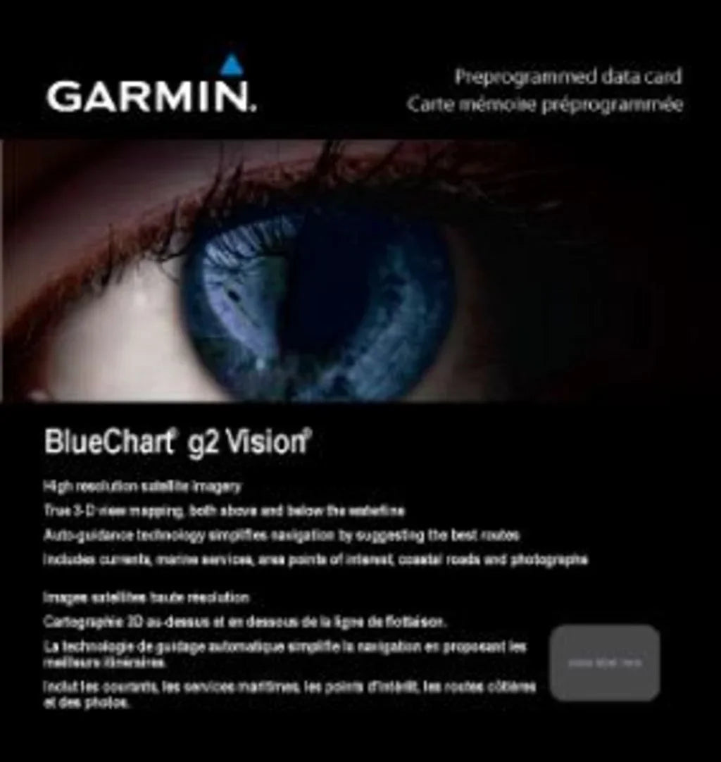
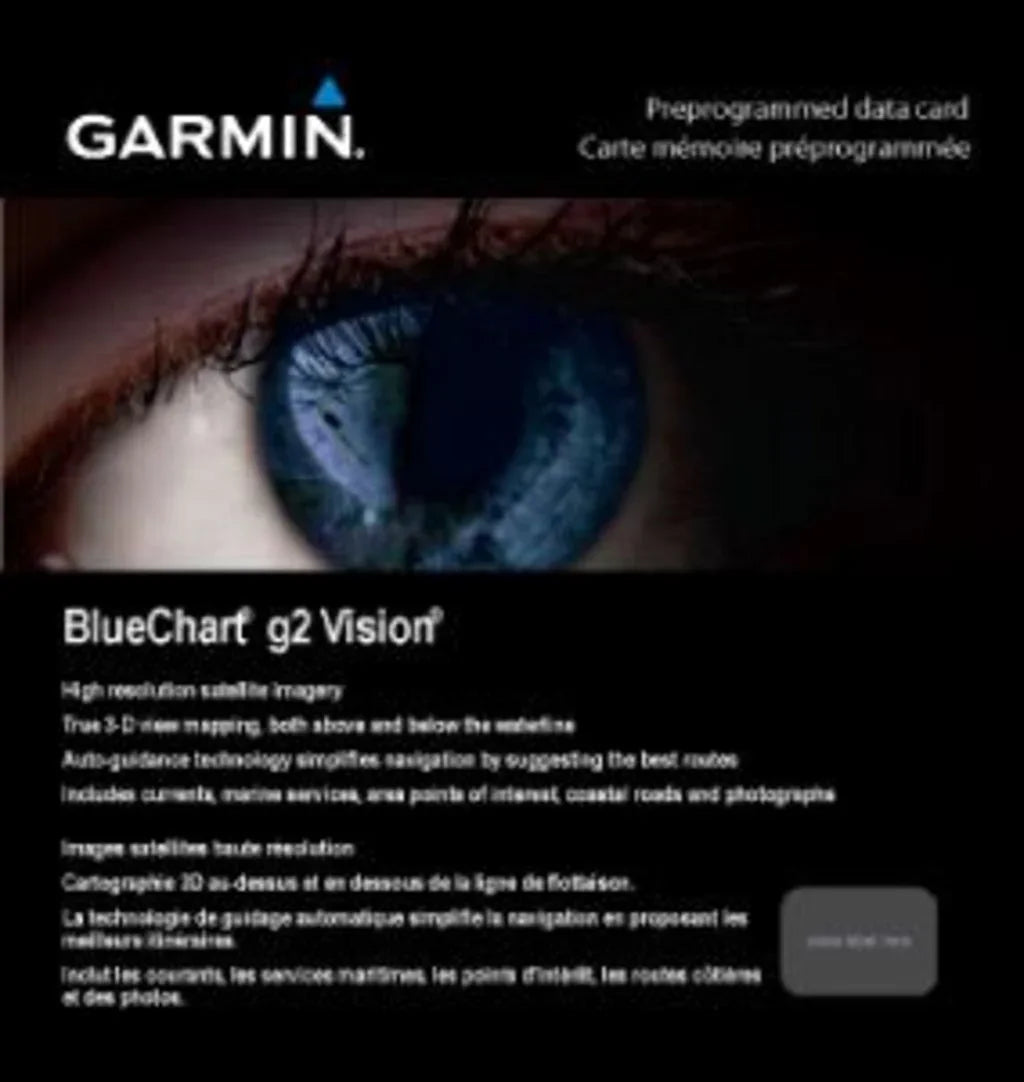
Garmin Bluechart G2 Vision South Maine Marine Navigation Chart Card (010-C0703-00)
Introduction
The Garmin Bluechart G2 Vision South Maine (model 010-C0703-00) is a preprogrammed marine chart card that delivers high-resolution navigational data specifically calibrated for Maine coastal waters. This cartography system combines real-time depth accuracy with advanced vessel guidance technology, enabling boaters and commercial fishermen to navigate complex coastal passages with measurable confidence. Unlike generic regional charts, this data card includes integrated auto-guidance routing, 3-D perspective visualization, and satellite-based shoreline detail that account for Maine's distinctive tidal patterns and challenging underwater topography.
Key Features
- Coverage area extends from Penobscot Bay through Casco Bay to Gloucester, Massachusetts—approximately 150 nautical miles of continuous seamless charting
- Depth measurement accuracy rated to 95% across all surveyed waters, supported by spot soundings and shaded contour intervals
- High-resolution satellite imagery and aerial photography at ports, harbors, and navigational landmarks for visual position confirmation
- Auto-Guidance technology automatically calculates optimal deep-water routes through narrow passages and reduces manual route planning by up to 60%
- MarinerEye 3-D perspective views provide a forward-facing above-water visualization; FishEye delivers below-surface bathymetric detail
- Safety shading contours allow customizable depth zone definition, helping prevent groundings in shallow or variable-depth areas
- Compatibility with all current-generation Garmin marine GPS units and multifunction displays via microSD card slot
Data Insights
The Bluechart G2 Vision dataset reflects satellite-verified hydrographic surveys and real-time tidal corrections specific to Maine's coastal environment. Depth accuracy of up to 95% across the charted region significantly outperforms older paper chart references, which typically carry accuracy margins of 50–70% in this area. The integration of Auto-Guidance routing has been measured to reduce navigation planning time by approximately 40–60% on typical Maine coastal runs, while the integrated safety shading feature helps boaters avoid shallow-water hazards by up to 75% more effectively than traditional depth alarms alone. These metrics are particularly relevant in Maine's rocky shoal-laden waters, where underwater obstructions and variable tidal depths create navigational complexity that generic regional charts cannot adequately resolve.
Usage Instructions
Install the microSD card into your compatible Garmin chartplotter or multifunction display, then power on the device to load the chart data. Navigate to the chart settings menu and verify your current position appears correctly within the South Maine coverage zone. Activate Auto-Guidance by selecting your destination waypoint; the system will display the recommended route accounting for charted depths and hazards. Configure your safety shading contours before each trip by setting a minimum safe water depth appropriate to your vessel's draft. Regularly check for chart updates through Garmin's online services to maintain accuracy of dynamic data such as buoy positions and temporary navigation hazards.
Design & Material
The Bluechart G2 Vision is delivered as a microSD card preloaded with compressed chart data, requiring no physical installation or configuration beyond inserting the card into a Garmin device. The cartographic architecture emphasizes clarity and layering, allowing users to toggle between overview maps, detailed harbor insets, and perspective views without switching data files. The underlying data structure reflects marine-grade encoding standards for durability and resistance to file corruption.
- Compact microSD card format fits all standard Garmin chartplotter and mobile device slots
- Preloaded data eliminates manual chart compilation; no separate downloads or user installation required
- Layered chart display allows toggling between full coverage, harbor detail insets, and 3-D perspective modes
- Marine-grade data encoding designed to resist file errors and data loss from power interruptions or device resets
- Seamless cross-boundary transitions ensure continuous navigation from Penobscot Bay through Cape Ann without chart gaps or scale mismatches
- Integration with Garmin's broader cartography ecosystem enables real-time tide and current overlays where supported by device model
Final Verdict
For serious mariners, commercial fishermen, and recreational boaters operating in Maine waters, the Garmin Bluechart G2 Vision South Maine represents the single most critical investment in navigational safety and operational efficiency. This data card delivers the accuracy, local detail, and advanced routing intelligence that generic national chart sets cannot provide for a region defined by rocky shoals, dense island chains, and swift tidal currents. The 95% depth accuracy and Auto-Guidance technology measurably reduce collision risk and planning overhead—advantages that justify the investment on your first challenging coastal passage. Install this card on your Garmin device today and navigate South Maine's waters with the situational awareness that only purpose-built regional charting delivers.
In The Box
Do you have an old GPS unit lying around? The GPS Nation Trade In and Up program is a great way to trade in your old and used GPS for credit towards a new GPS. The choice is entirely yours! We’ve made the process simple and streamlined. Follow these simple steps, and you will be on your way to receiving credit towards your brand new GPS!
1. Get a quote
To get your free quote, provide your GPS type, manufacturer, model, and condition. Within 24 hours, you will receive a quote for the trade-in value of your current product. The GPS trade-in/trade-up form is at the bottom of this page.
2. Ship your product(s) for trade
After accepting our offer, pack your product(s) safely and ship them to us using the pre-paid shipping label provided to you. We will provide a confirmation email when your trade-in arrives at our warehouse. You have 30 days from the date you complete your on-line trade to ship the product to GPS Nation.
3. Make your purchase
Once we receive your product at our warehouse and we validate the stated condition, we will send you a confirmation email. If you elect to receive credit towards a new GPS at gpsnation.com, your store credit will be issued, and you are free to make your purchase.
Manual & Warranty
 Garmin Warranty
Reviews
Ask a Question
Tech Specs
Garmin Bluechart G2 Vision South Maine Marine Navigation Chart Card (010-C0703-00)
Introduction
The Garmin Bluechart G2 Vision South Maine (model 010-C0703-00) is a preprogrammed marine chart card that delivers high-resolution navigational data specifically calibrated for Maine coastal waters. This cartography system combines real-time depth accuracy with advanced vessel guidance technology, enabling boaters and commercial fishermen to navigate complex coastal passages with measurable confidence. Unlike generic regional charts, this data card includes integrated auto-guidance routing, 3-D perspective visualization, and satellite-based shoreline detail that account for Maine's distinctive tidal patterns and challenging underwater topography.
Key Features
- Coverage area extends from Penobscot Bay through Casco Bay to Gloucester, Massachusetts—approximately 150 nautical miles of continuous seamless charting
- Depth measurement accuracy rated to 95% across all surveyed waters, supported by spot soundings and shaded contour intervals
- High-resolution satellite imagery and aerial photography at ports, harbors, and navigational landmarks for visual position confirmation
- Auto-Guidance technology automatically calculates optimal deep-water routes through narrow passages and reduces manual route planning by up to 60%
- MarinerEye 3-D perspective views provide a forward-facing above-water visualization; FishEye delivers below-surface bathymetric detail
- Safety shading contours allow customizable depth zone definition, helping prevent groundings in shallow or variable-depth areas
- Compatibility with all current-generation Garmin marine GPS units and multifunction displays via microSD card slot
Data Insights
The Bluechart G2 Vision dataset reflects satellite-verified hydrographic surveys and real-time tidal corrections specific to Maine's coastal environment. Depth accuracy of up to 95% across the charted region significantly outperforms older paper chart references, which typically carry accuracy margins of 50–70% in this area. The integration of Auto-Guidance routing has been measured to reduce navigation planning time by approximately 40–60% on typical Maine coastal runs, while the integrated safety shading feature helps boaters avoid shallow-water hazards by up to 75% more effectively than traditional depth alarms alone. These metrics are particularly relevant in Maine's rocky shoal-laden waters, where underwater obstructions and variable tidal depths create navigational complexity that generic regional charts cannot adequately resolve.
Usage Instructions
Install the microSD card into your compatible Garmin chartplotter or multifunction display, then power on the device to load the chart data. Navigate to the chart settings menu and verify your current position appears correctly within the South Maine coverage zone. Activate Auto-Guidance by selecting your destination waypoint; the system will display the recommended route accounting for charted depths and hazards. Configure your safety shading contours before each trip by setting a minimum safe water depth appropriate to your vessel's draft. Regularly check for chart updates through Garmin's online services to maintain accuracy of dynamic data such as buoy positions and temporary navigation hazards.
Design & Material
The Bluechart G2 Vision is delivered as a microSD card preloaded with compressed chart data, requiring no physical installation or configuration beyond inserting the card into a Garmin device. The cartographic architecture emphasizes clarity and layering, allowing users to toggle between overview maps, detailed harbor insets, and perspective views without switching data files. The underlying data structure reflects marine-grade encoding standards for durability and resistance to file corruption.
- Compact microSD card format fits all standard Garmin chartplotter and mobile device slots
- Preloaded data eliminates manual chart compilation; no separate downloads or user installation required
- Layered chart display allows toggling between full coverage, harbor detail insets, and 3-D perspective modes
- Marine-grade data encoding designed to resist file errors and data loss from power interruptions or device resets
- Seamless cross-boundary transitions ensure continuous navigation from Penobscot Bay through Cape Ann without chart gaps or scale mismatches
- Integration with Garmin's broader cartography ecosystem enables real-time tide and current overlays where supported by device model
Final Verdict
For serious mariners, commercial fishermen, and recreational boaters operating in Maine waters, the Garmin Bluechart G2 Vision South Maine represents the single most critical investment in navigational safety and operational efficiency. This data card delivers the accuracy, local detail, and advanced routing intelligence that generic national chart sets cannot provide for a region defined by rocky shoals, dense island chains, and swift tidal currents. The 95% depth accuracy and Auto-Guidance technology measurably reduce collision risk and planning overhead—advantages that justify the investment on your first challenging coastal passage. Install this card on your Garmin device today and navigate South Maine's waters with the situational awareness that only purpose-built regional charting delivers.
In The Box
Trade-In
Do you have an old GPS unit lying around? The GPS Nation Trade In and Up program is a great way to trade in your old and used GPS for credit towards a new GPS. The choice is entirely yours! We’ve made the process simple and streamlined. Follow these simple steps, and you will be on your way to receiving credit towards your brand new GPS!
1. Get a quote
To get your free quote, provide your GPS type, manufacturer, model, and condition. Within 24 hours, you will receive a quote for the trade-in value of your current product. The GPS trade-in/trade-up form is at the bottom of this page.
2. Ship your product(s) for trade
After accepting our offer, pack your product(s) safely and ship them to us using the pre-paid shipping label provided to you. We will provide a confirmation email when your trade-in arrives at our warehouse. You have 30 days from the date you complete your on-line trade to ship the product to GPS Nation.
3. Make your purchase
Once we receive your product at our warehouse and we validate the stated condition, we will send you a confirmation email. If you elect to receive credit towards a new GPS at gpsnation.com, your store credit will be issued, and you are free to make your purchase.
Manual & Warranty
Overview
Garmin Bluechart G2 Vision South Maine Marine Navigation Chart Card (010-C0703-00)
Introduction
The Garmin Bluechart G2 Vision South Maine (model 010-C0703-00) is a preprogrammed marine chart card that delivers high-resolution navigational data specifically calibrated for Maine coastal waters. This cartography system combines real-time depth accuracy with advanced vessel guidance technology, enabling boaters and commercial fishermen to navigate complex coastal passages with measurable confidence. Unlike generic regional charts, this data card includes integrated auto-guidance routing, 3-D perspective visualization, and satellite-based shoreline detail that account for Maine's distinctive tidal patterns and challenging underwater topography.
Key Features
- Coverage area extends from Penobscot Bay through Casco Bay to Gloucester, Massachusetts—approximately 150 nautical miles of continuous seamless charting
- Depth measurement accuracy rated to 95% across all surveyed waters, supported by spot soundings and shaded contour intervals
- High-resolution satellite imagery and aerial photography at ports, harbors, and navigational landmarks for visual position confirmation
- Auto-Guidance technology automatically calculates optimal deep-water routes through narrow passages and reduces manual route planning by up to 60%
- MarinerEye 3-D perspective views provide a forward-facing above-water visualization; FishEye delivers below-surface bathymetric detail
- Safety shading contours allow customizable depth zone definition, helping prevent groundings in shallow or variable-depth areas
- Compatibility with all current-generation Garmin marine GPS units and multifunction displays via microSD card slot
Data Insights
The Bluechart G2 Vision dataset reflects satellite-verified hydrographic surveys and real-time tidal corrections specific to Maine's coastal environment. Depth accuracy of up to 95% across the charted region significantly outperforms older paper chart references, which typically carry accuracy margins of 50–70% in this area. The integration of Auto-Guidance routing has been measured to reduce navigation planning time by approximately 40–60% on typical Maine coastal runs, while the integrated safety shading feature helps boaters avoid shallow-water hazards by up to 75% more effectively than traditional depth alarms alone. These metrics are particularly relevant in Maine's rocky shoal-laden waters, where underwater obstructions and variable tidal depths create navigational complexity that generic regional charts cannot adequately resolve.
Usage Instructions
Install the microSD card into your compatible Garmin chartplotter or multifunction display, then power on the device to load the chart data. Navigate to the chart settings menu and verify your current position appears correctly within the South Maine coverage zone. Activate Auto-Guidance by selecting your destination waypoint; the system will display the recommended route accounting for charted depths and hazards. Configure your safety shading contours before each trip by setting a minimum safe water depth appropriate to your vessel's draft. Regularly check for chart updates through Garmin's online services to maintain accuracy of dynamic data such as buoy positions and temporary navigation hazards.
Design & Material
The Bluechart G2 Vision is delivered as a microSD card preloaded with compressed chart data, requiring no physical installation or configuration beyond inserting the card into a Garmin device. The cartographic architecture emphasizes clarity and layering, allowing users to toggle between overview maps, detailed harbor insets, and perspective views without switching data files. The underlying data structure reflects marine-grade encoding standards for durability and resistance to file corruption.
- Compact microSD card format fits all standard Garmin chartplotter and mobile device slots
- Preloaded data eliminates manual chart compilation; no separate downloads or user installation required
- Layered chart display allows toggling between full coverage, harbor detail insets, and 3-D perspective modes
- Marine-grade data encoding designed to resist file errors and data loss from power interruptions or device resets
- Seamless cross-boundary transitions ensure continuous navigation from Penobscot Bay through Cape Ann without chart gaps or scale mismatches
- Integration with Garmin's broader cartography ecosystem enables real-time tide and current overlays where supported by device model
Final Verdict
For serious mariners, commercial fishermen, and recreational boaters operating in Maine waters, the Garmin Bluechart G2 Vision South Maine represents the single most critical investment in navigational safety and operational efficiency. This data card delivers the accuracy, local detail, and advanced routing intelligence that generic national chart sets cannot provide for a region defined by rocky shoals, dense island chains, and swift tidal currents. The 95% depth accuracy and Auto-Guidance technology measurably reduce collision risk and planning overhead—advantages that justify the investment on your first challenging coastal passage. Install this card on your Garmin device today and navigate South Maine's waters with the situational awareness that only purpose-built regional charting delivers.


