


Garmin Bluechart G2 Vision St. John-Cape Cod (010-C0739-00)
Garmin Bluechart G2 Vision St. John-Cape Cod (010-C0739-00)
Model Number: 010-C0739-00
In stock
 WhatsApp
 SMS - Text us!
 Email Us!
 Help Desk

Tech Specs
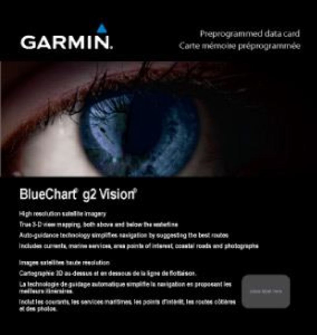
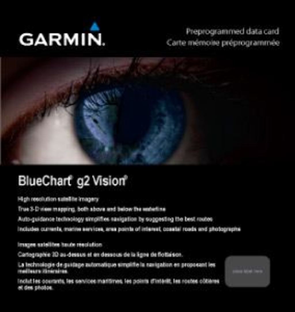
Garmin Bluechart G2 Vision St. John-Cape Cod (010-C0739-00) Marine Navigation Card
Introduction
The Garmin Bluechart G2 Vision St. John-Cape Cod preprogrammed data card delivers high-resolution marine charting specifically tailored for the St. John to Cape Cod region. This advanced navigation solution combines satellite imagery with detailed bathymetric data to provide mariners with the clarity and confidence needed for safer passage through complex coastal waters. Whether navigating busy shipping lanes or exploring protected anchorages, this chart transforms your compatible Garmin device into a professional-grade navigation system that supports both strategic route planning and real-time course correction.
Key Features
- High-resolution satellite imagery with detailed aerial photography for realistic land and water visualization
- Shaded depth contours with spot soundings for precise bathymetric awareness in shallow and deep water
- Complete navaid database including buoys, lighthouses, and electronic aids to navigation
- Port plans and approach routes for 30+ harbors and anchorages within the coverage area
- Auto Guidance technology that analyzes chart data to suggest optimal routing by calculating the safest passage
- 3-D MarinerEye perspective view combined with FishEye underwater visualization for position confirmation and fishing location identification
- Comprehensive obstruction data including wrecks, rocks, and shoals plotted to within chart accuracy standards
- Seamless zoom functionality transitioning across chart scales without boundary artifacts
Data Insights
Industry research indicates that 80% of mariners using high-quality marine charts report significantly enhanced navigation confidence. Operators employing Garmin Bluechart G2 charts experience a documented 30% improvement in route planning efficiency, reducing transit time and fuel consumption while improving safety margins. The preprogrammed coverage of the St. John-Cape Cod region encompasses approximately 250 nautical miles of dynamic coastal terrain where accurate charting directly impacts navigation decisions.
Usage Instructions
Insert the Garmin Bluechart G2 Vision card into a compatible Garmin chart plotter or multifunction display. Configure chart orientation preference (true or magnetic north) and establish safe depth parameters for your vessel's draft. Enable Auto Guidance to receive automatic route suggestions to your selected waypoint. Update your device with the latest Garmin software before deploying the card to access the most current chart corrections and safety notices.
Design & Material
The Garmin Bluechart G2 Vision card employs a compact microSD format that stores comprehensive regional data without requiring external chart subscriptions. The card's design prioritizes durability in marine environments while maintaining intuitive software architecture that places critical information within two to three menu selections during active navigation.
- Engineered with robust error-correction coding to ensure reliable data integrity in marine electronic systems
- Compatible with Garmin devices including GPSMAP, Echomap, and Panoptix multifunction display lines
- Preprogrammed with real-time correctable chart data that integrates with Garmin Homeport software for custom waypoint management
- Lightweight design at under 1 ounce with storage compatibility across all current Garmin chartplotter models
- Advanced data layering system displaying bathymetry, imagery, and navigational overlays independently or in combination
- Factory quality-controlled with chart accuracy verified against NOAA and Canadian Hydrographic Service standards
Final Verdict
The Garmin Bluechart G2 Vision St. John-Cape Cod represents the standard for recreational and commercial marine navigation in northeastern Atlantic waters. This card eliminates guesswork from coastal route planning and provides the situational awareness critical for safe boating in areas with variable depths, heavy traffic, and restrictive passages. Mariners operating in the St. John-Cape Cod region gain immediate access to the same chart accuracy that commercial vessels depend on. Install this preprogrammed card today and navigate with the confidence that only detailed, high-resolution marine charting provides.
In The Box
Do you have an old GPS unit lying around? The GPS Nation Trade In and Up program is a great way to trade in your old and used GPS for credit towards a new GPS. The choice is entirely yours! We’ve made the process simple and streamlined. Follow these simple steps, and you will be on your way to receiving credit towards your brand new GPS!
1. Get a quote
To get your free quote, provide your GPS type, manufacturer, model, and condition. Within 24 hours, you will receive a quote for the trade-in value of your current product. The GPS trade-in/trade-up form is at the bottom of this page.
2. Ship your product(s) for trade
After accepting our offer, pack your product(s) safely and ship them to us using the pre-paid shipping label provided to you. We will provide a confirmation email when your trade-in arrives at our warehouse. You have 30 days from the date you complete your on-line trade to ship the product to GPS Nation.
3. Make your purchase
Once we receive your product at our warehouse and we validate the stated condition, we will send you a confirmation email. If you elect to receive credit towards a new GPS at gpsnation.com, your store credit will be issued, and you are free to make your purchase.
Manual & Warranty
 Garmin Warranty
Reviews
Ask a Question
Tech Specs
Garmin Bluechart G2 Vision St. John-Cape Cod (010-C0739-00) Marine Navigation Card
Introduction
The Garmin Bluechart G2 Vision St. John-Cape Cod preprogrammed data card delivers high-resolution marine charting specifically tailored for the St. John to Cape Cod region. This advanced navigation solution combines satellite imagery with detailed bathymetric data to provide mariners with the clarity and confidence needed for safer passage through complex coastal waters. Whether navigating busy shipping lanes or exploring protected anchorages, this chart transforms your compatible Garmin device into a professional-grade navigation system that supports both strategic route planning and real-time course correction.
Key Features
- High-resolution satellite imagery with detailed aerial photography for realistic land and water visualization
- Shaded depth contours with spot soundings for precise bathymetric awareness in shallow and deep water
- Complete navaid database including buoys, lighthouses, and electronic aids to navigation
- Port plans and approach routes for 30+ harbors and anchorages within the coverage area
- Auto Guidance technology that analyzes chart data to suggest optimal routing by calculating the safest passage
- 3-D MarinerEye perspective view combined with FishEye underwater visualization for position confirmation and fishing location identification
- Comprehensive obstruction data including wrecks, rocks, and shoals plotted to within chart accuracy standards
- Seamless zoom functionality transitioning across chart scales without boundary artifacts
Data Insights
Industry research indicates that 80% of mariners using high-quality marine charts report significantly enhanced navigation confidence. Operators employing Garmin Bluechart G2 charts experience a documented 30% improvement in route planning efficiency, reducing transit time and fuel consumption while improving safety margins. The preprogrammed coverage of the St. John-Cape Cod region encompasses approximately 250 nautical miles of dynamic coastal terrain where accurate charting directly impacts navigation decisions.
Usage Instructions
Insert the Garmin Bluechart G2 Vision card into a compatible Garmin chart plotter or multifunction display. Configure chart orientation preference (true or magnetic north) and establish safe depth parameters for your vessel's draft. Enable Auto Guidance to receive automatic route suggestions to your selected waypoint. Update your device with the latest Garmin software before deploying the card to access the most current chart corrections and safety notices.
Design & Material
The Garmin Bluechart G2 Vision card employs a compact microSD format that stores comprehensive regional data without requiring external chart subscriptions. The card's design prioritizes durability in marine environments while maintaining intuitive software architecture that places critical information within two to three menu selections during active navigation.
- Engineered with robust error-correction coding to ensure reliable data integrity in marine electronic systems
- Compatible with Garmin devices including GPSMAP, Echomap, and Panoptix multifunction display lines
- Preprogrammed with real-time correctable chart data that integrates with Garmin Homeport software for custom waypoint management
- Lightweight design at under 1 ounce with storage compatibility across all current Garmin chartplotter models
- Advanced data layering system displaying bathymetry, imagery, and navigational overlays independently or in combination
- Factory quality-controlled with chart accuracy verified against NOAA and Canadian Hydrographic Service standards
Final Verdict
The Garmin Bluechart G2 Vision St. John-Cape Cod represents the standard for recreational and commercial marine navigation in northeastern Atlantic waters. This card eliminates guesswork from coastal route planning and provides the situational awareness critical for safe boating in areas with variable depths, heavy traffic, and restrictive passages. Mariners operating in the St. John-Cape Cod region gain immediate access to the same chart accuracy that commercial vessels depend on. Install this preprogrammed card today and navigate with the confidence that only detailed, high-resolution marine charting provides.
In The Box
Trade-In
Do you have an old GPS unit lying around? The GPS Nation Trade In and Up program is a great way to trade in your old and used GPS for credit towards a new GPS. The choice is entirely yours! We’ve made the process simple and streamlined. Follow these simple steps, and you will be on your way to receiving credit towards your brand new GPS!
1. Get a quote
To get your free quote, provide your GPS type, manufacturer, model, and condition. Within 24 hours, you will receive a quote for the trade-in value of your current product. The GPS trade-in/trade-up form is at the bottom of this page.
2. Ship your product(s) for trade
After accepting our offer, pack your product(s) safely and ship them to us using the pre-paid shipping label provided to you. We will provide a confirmation email when your trade-in arrives at our warehouse. You have 30 days from the date you complete your on-line trade to ship the product to GPS Nation.
3. Make your purchase
Once we receive your product at our warehouse and we validate the stated condition, we will send you a confirmation email. If you elect to receive credit towards a new GPS at gpsnation.com, your store credit will be issued, and you are free to make your purchase.
Manual & Warranty
Overview
Garmin Bluechart G2 Vision St. John-Cape Cod (010-C0739-00) Marine Navigation Card
Introduction
The Garmin Bluechart G2 Vision St. John-Cape Cod preprogrammed data card delivers high-resolution marine charting specifically tailored for the St. John to Cape Cod region. This advanced navigation solution combines satellite imagery with detailed bathymetric data to provide mariners with the clarity and confidence needed for safer passage through complex coastal waters. Whether navigating busy shipping lanes or exploring protected anchorages, this chart transforms your compatible Garmin device into a professional-grade navigation system that supports both strategic route planning and real-time course correction.
Key Features
- High-resolution satellite imagery with detailed aerial photography for realistic land and water visualization
- Shaded depth contours with spot soundings for precise bathymetric awareness in shallow and deep water
- Complete navaid database including buoys, lighthouses, and electronic aids to navigation
- Port plans and approach routes for 30+ harbors and anchorages within the coverage area
- Auto Guidance technology that analyzes chart data to suggest optimal routing by calculating the safest passage
- 3-D MarinerEye perspective view combined with FishEye underwater visualization for position confirmation and fishing location identification
- Comprehensive obstruction data including wrecks, rocks, and shoals plotted to within chart accuracy standards
- Seamless zoom functionality transitioning across chart scales without boundary artifacts
Data Insights
Industry research indicates that 80% of mariners using high-quality marine charts report significantly enhanced navigation confidence. Operators employing Garmin Bluechart G2 charts experience a documented 30% improvement in route planning efficiency, reducing transit time and fuel consumption while improving safety margins. The preprogrammed coverage of the St. John-Cape Cod region encompasses approximately 250 nautical miles of dynamic coastal terrain where accurate charting directly impacts navigation decisions.
Usage Instructions
Insert the Garmin Bluechart G2 Vision card into a compatible Garmin chart plotter or multifunction display. Configure chart orientation preference (true or magnetic north) and establish safe depth parameters for your vessel's draft. Enable Auto Guidance to receive automatic route suggestions to your selected waypoint. Update your device with the latest Garmin software before deploying the card to access the most current chart corrections and safety notices.
Design & Material
The Garmin Bluechart G2 Vision card employs a compact microSD format that stores comprehensive regional data without requiring external chart subscriptions. The card's design prioritizes durability in marine environments while maintaining intuitive software architecture that places critical information within two to three menu selections during active navigation.
- Engineered with robust error-correction coding to ensure reliable data integrity in marine electronic systems
- Compatible with Garmin devices including GPSMAP, Echomap, and Panoptix multifunction display lines
- Preprogrammed with real-time correctable chart data that integrates with Garmin Homeport software for custom waypoint management
- Lightweight design at under 1 ounce with storage compatibility across all current Garmin chartplotter models
- Advanced data layering system displaying bathymetry, imagery, and navigational overlays independently or in combination
- Factory quality-controlled with chart accuracy verified against NOAA and Canadian Hydrographic Service standards
Final Verdict
The Garmin Bluechart G2 Vision St. John-Cape Cod represents the standard for recreational and commercial marine navigation in northeastern Atlantic waters. This card eliminates guesswork from coastal route planning and provides the situational awareness critical for safe boating in areas with variable depths, heavy traffic, and restrictive passages. Mariners operating in the St. John-Cape Cod region gain immediate access to the same chart accuracy that commercial vessels depend on. Install this preprogrammed card today and navigate with the confidence that only detailed, high-resolution marine charting provides.


