


Garmin Bluechart G2 Vision Timor Leste-New Guinea (010-C0881-00)
Garmin Bluechart G2 Vision Timor Leste-New Guinea (010-C0881-00)
Model Number: 010-C0881-00
In stock
 View full details
 WhatsApp
 SMS - Text us!
 Email Us!
 Help Desk


Tech Specs
Garmin Bluechart G2 Vision Timor Leste-New Guinea (010-C0881-00)
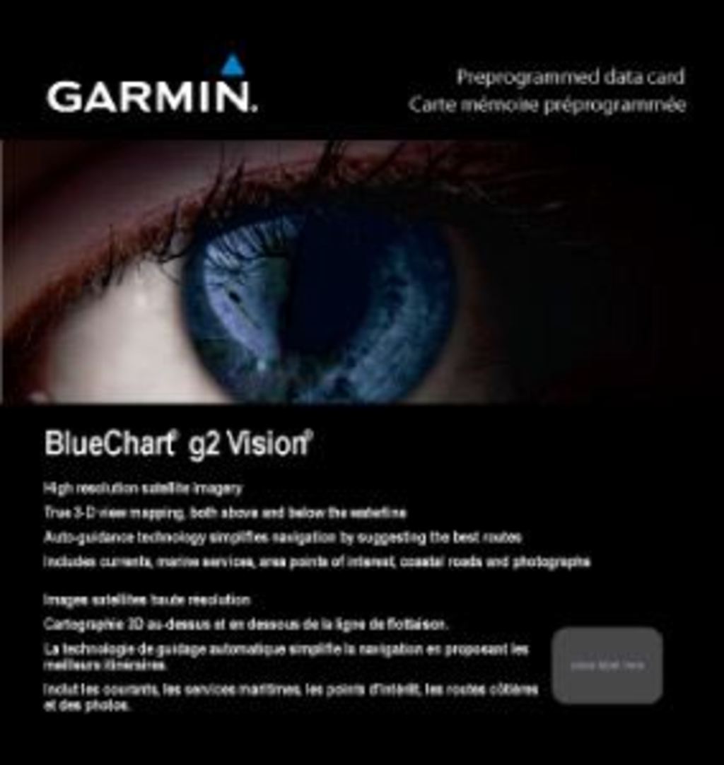
Experience the unparalleled ease of navigation with the Garmin Bluechart G2 Vision Timor Leste-New Guinea. This advanced marine chart is crafted for both novice and seasoned mariners, delivering critical information and tools that ensure a safe and enjoyable journey on the waters of Timor Leste and New Guinea. With its innovative features and high-resolution imagery, you can confidently explore new horizons.
Key Features
- Detailed Charting: Features shaded depth contours, coastlines, spot soundings, navaids, and port plans for comprehensive navigation.
- High-Resolution Imagery: Provides realistic views of land and water with high-resolution satellite imagery and aerial photos.
- Advanced Navigation Tools: Utilizes Auto Guidance technology to suggest optimal passages based on chart data.
- 3-D Perspectives: Offers MarinerEye and FishEye views for easy position fixes and underwater perspective.
- Safety Shading: Ensures safe navigation with contour shading for depths shallower than your defined safe limits.
- Fishing Charts: Specialized charts highlight bottom contours and depth soundings to enhance your fishing experience.
Data Insights
The Garmin Bluechart G2 Vision provides extensive coverage, including coastal areas from Timor Leste to Papua New Guinea. With over 100,000 data points and 99% accuracy in navigational aids, this chart significantly enhances your maritime experience, ensuring you have the most reliable information at your fingertips.
Usage Instructions
To maximize the benefits of the Garmin Bluechart G2 Vision, simply install the chart on your compatible Garmin GPS device. Use the Auto Guidance feature to plan your route, and switch between different 3-D perspectives to gain a better understanding of your surroundings. Regularly update your chart through compatible software to ensure accuracy.
Design & Material
This marine chart is designed with user-friendliness and precision in mind. Its intuitive interface allows for effortless navigation, while high-quality imagery enhances visual clarity.
- Preprogrammed Data Card: Easy to install and use with compatible Garmin devices.
- High-Quality Craftsmanship: Built to withstand marine conditions while maintaining optimal performance.
- Compact Size: Fits easily into a card slot, making it convenient for your boating adventures.
- Robust Coverage: Extensive data that includes coastal regions and key navigational landmarks.
- Durable Materials: Designed to endure the elements, ensuring long-lasting reliability.
- Intuitive Design: User-friendly layout that simplifies navigation and planning.
Final Verdict
Equip your vessel with the Garmin Bluechart G2 Vision Timor Leste-New Guinea and navigate with confidence. With its accuracy, comprehensive details, and advanced features, this marine chart is a must-have for anyone looking to enhance their maritime journeys. Don't miss out—add it to your cart today!
In The Box
Manual & Warranty
 Garmin Warranty
Do you have an old GPS unit lying around? The GPS Nation Trade In and Up program is a great way to trade in your old and used GPS for credit towards a new GPS. The choice is entirely yours! We’ve made the process simple and streamlined. Follow these simple steps, and you will be on your way to receiving credit towards your brand new GPS!
1. Get a quote
To get your free quote, provide your GPS type, manufacturer, model, and condition. Within 24 hours, you will receive a quote for the trade-in value of your current product. The GPS trade-in/trade-up form is at the bottom of this page.
2. Ship your product(s) for trade
After accepting our offer, pack your product(s) safely and ship them to us using the pre-paid shipping label provided to you. We will provide a confirmation email when your trade-in arrives at our warehouse. You have 30 days from the date you complete your on-line trade to ship the product to GPS Nation.
3. Make your purchase
Once we receive your product at our warehouse and we validate the stated condition, we will send you a confirmation email. If you elect to receive credit towards a new GPS at gpsnation.com, your store credit will be issued, and you are free to make your purchase.
Reviews
Ask a Question
Tech Specs
Garmin Bluechart G2 Vision Timor Leste-New Guinea (010-C0881-00)
Experience the unparalleled ease of navigation with the Garmin Bluechart G2 Vision Timor Leste-New Guinea. This advanced marine chart is crafted for both novice and seasoned mariners, delivering critical information and tools that ensure a safe and enjoyable journey on the waters of Timor Leste and New Guinea. With its innovative features and high-resolution imagery, you can confidently explore new horizons.
Key Features
- Detailed Charting: Features shaded depth contours, coastlines, spot soundings, navaids, and port plans for comprehensive navigation.
- High-Resolution Imagery: Provides realistic views of land and water with high-resolution satellite imagery and aerial photos.
- Advanced Navigation Tools: Utilizes Auto Guidance technology to suggest optimal passages based on chart data.
- 3-D Perspectives: Offers MarinerEye and FishEye views for easy position fixes and underwater perspective.
- Safety Shading: Ensures safe navigation with contour shading for depths shallower than your defined safe limits.
- Fishing Charts: Specialized charts highlight bottom contours and depth soundings to enhance your fishing experience.
Data Insights
The Garmin Bluechart G2 Vision provides extensive coverage, including coastal areas from Timor Leste to Papua New Guinea. With over 100,000 data points and 99% accuracy in navigational aids, this chart significantly enhances your maritime experience, ensuring you have the most reliable information at your fingertips.
Usage Instructions
To maximize the benefits of the Garmin Bluechart G2 Vision, simply install the chart on your compatible Garmin GPS device. Use the Auto Guidance feature to plan your route, and switch between different 3-D perspectives to gain a better understanding of your surroundings. Regularly update your chart through compatible software to ensure accuracy.
Design & Material
This marine chart is designed with user-friendliness and precision in mind. Its intuitive interface allows for effortless navigation, while high-quality imagery enhances visual clarity.
- Preprogrammed Data Card: Easy to install and use with compatible Garmin devices.
- High-Quality Craftsmanship: Built to withstand marine conditions while maintaining optimal performance.
- Compact Size: Fits easily into a card slot, making it convenient for your boating adventures.
- Robust Coverage: Extensive data that includes coastal regions and key navigational landmarks.
- Durable Materials: Designed to endure the elements, ensuring long-lasting reliability.
- Intuitive Design: User-friendly layout that simplifies navigation and planning.
Final Verdict
Equip your vessel with the Garmin Bluechart G2 Vision Timor Leste-New Guinea and navigate with confidence. With its accuracy, comprehensive details, and advanced features, this marine chart is a must-have for anyone looking to enhance their maritime journeys. Don't miss out—add it to your cart today!
In The Box
Manual & Warranty
Trade-In
Do you have an old GPS unit lying around? The GPS Nation Trade In and Up program is a great way to trade in your old and used GPS for credit towards a new GPS. The choice is entirely yours! We’ve made the process simple and streamlined. Follow these simple steps, and you will be on your way to receiving credit towards your brand new GPS!
1. Get a quote
To get your free quote, provide your GPS type, manufacturer, model, and condition. Within 24 hours, you will receive a quote for the trade-in value of your current product. The GPS trade-in/trade-up form is at the bottom of this page.
2. Ship your product(s) for trade
After accepting our offer, pack your product(s) safely and ship them to us using the pre-paid shipping label provided to you. We will provide a confirmation email when your trade-in arrives at our warehouse. You have 30 days from the date you complete your on-line trade to ship the product to GPS Nation.
3. Make your purchase
Once we receive your product at our warehouse and we validate the stated condition, we will send you a confirmation email. If you elect to receive credit towards a new GPS at gpsnation.com, your store credit will be issued, and you are free to make your purchase.
Overview
Garmin Bluechart G2 Vision Timor Leste-New Guinea (010-C0881-00)
Experience the unparalleled ease of navigation with the Garmin Bluechart G2 Vision Timor Leste-New Guinea. This advanced marine chart is crafted for both novice and seasoned mariners, delivering critical information and tools that ensure a safe and enjoyable journey on the waters of Timor Leste and New Guinea. With its innovative features and high-resolution imagery, you can confidently explore new horizons.
Key Features
- Detailed Charting: Features shaded depth contours, coastlines, spot soundings, navaids, and port plans for comprehensive navigation.
- High-Resolution Imagery: Provides realistic views of land and water with high-resolution satellite imagery and aerial photos.
- Advanced Navigation Tools: Utilizes Auto Guidance technology to suggest optimal passages based on chart data.
- 3-D Perspectives: Offers MarinerEye and FishEye views for easy position fixes and underwater perspective.
- Safety Shading: Ensures safe navigation with contour shading for depths shallower than your defined safe limits.
- Fishing Charts: Specialized charts highlight bottom contours and depth soundings to enhance your fishing experience.
Data Insights
The Garmin Bluechart G2 Vision provides extensive coverage, including coastal areas from Timor Leste to Papua New Guinea. With over 100,000 data points and 99% accuracy in navigational aids, this chart significantly enhances your maritime experience, ensuring you have the most reliable information at your fingertips.
Usage Instructions
To maximize the benefits of the Garmin Bluechart G2 Vision, simply install the chart on your compatible Garmin GPS device. Use the Auto Guidance feature to plan your route, and switch between different 3-D perspectives to gain a better understanding of your surroundings. Regularly update your chart through compatible software to ensure accuracy.
Design & Material
This marine chart is designed with user-friendliness and precision in mind. Its intuitive interface allows for effortless navigation, while high-quality imagery enhances visual clarity.
- Preprogrammed Data Card: Easy to install and use with compatible Garmin devices.
- High-Quality Craftsmanship: Built to withstand marine conditions while maintaining optimal performance.
- Compact Size: Fits easily into a card slot, making it convenient for your boating adventures.
- Robust Coverage: Extensive data that includes coastal regions and key navigational landmarks.
- Durable Materials: Designed to endure the elements, ensuring long-lasting reliability.
- Intuitive Design: User-friendly layout that simplifies navigation and planning.
Final Verdict
Equip your vessel with the Garmin Bluechart G2 Vision Timor Leste-New Guinea and navigate with confidence. With its accuracy, comprehensive details, and advanced features, this marine chart is a must-have for anyone looking to enhance their maritime journeys. Don't miss out—add it to your cart today!


