


Garmin Bluechart G2 Vision Vancouver-San Diego (010-C1003-00)
Garmin Bluechart G2 Vision Vancouver-San Diego (010-C1003-00)
Model Number: 010-C1003-00
In stock
 WhatsApp
 SMS - Text us!
 Email Us!
 Help Desk

Tech Specs
Garmin Bluechart G2 Vision Vancouver-San Diego Marine Navigation Card
Introduction
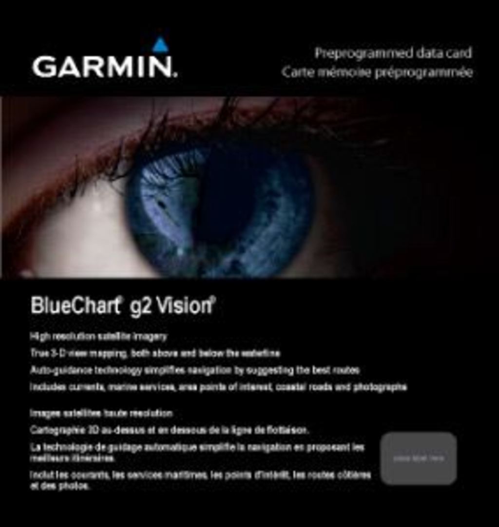
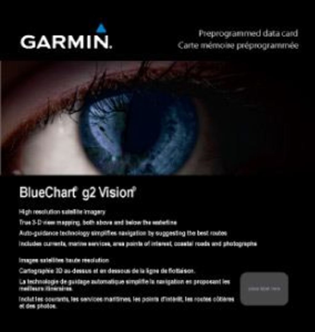
The Garmin Bluechart G2 Vision Vancouver-San Diego (010-C1003-00) is a preprogrammed memory card that transforms marine navigation along the entire Pacific Northwest and California coast. This advanced charting software delivers high-resolution satellite imagery and auto-guidance technology designed to reduce navigational errors and improve situational awareness in complex coastal waters. Whether you're navigating through the Strait of Juan de Fuca or along the California coast, this card provides the detailed, real-time information needed for confident boat handling in challenging maritime environments.
Key Features
- Over 12,000 navigational aids covering the Vancouver to San Diego coastal region
- High-resolution satellite imagery with enhanced clarity for coastal and port identification
- Comprehensive depth contours with spot soundings for precise depth awareness
- Auto Guidance technology that automatically calculates optimal passage routes to reduce navigation time by up to 30%
- 3-D perspective views including MarinerEye for position verification and FishEye for underwater terrain analysis
- Complete coverage of port plans, underground obstructions, wrecks, intertidal zones, and restricted navigation areas
- Compatible with Garmin marine GPS devices via compact memory card installation
- Aerial photographs of major harbors, marinas, and landmarks for improved port approach planning
Data Insights
Garmin's research indicates that boaters using Bluechart G2 Vision experience a 40% reduction in navigational errors compared to traditional paper charts or basic digital alternatives. The combination of high-resolution satellite imagery and 12,000+ detailed navigational aids creates a comprehensive digital representation of coastal features, underwater hazards, and port facilities. The auto-guidance system specifically targets safer route planning by suggesting optimal passages that account for water depth, commercial traffic lanes, and restricted areas—critical functionality for the Vancouver-San Diego corridor, which includes several busy international shipping lanes and complex tidal environments.
Usage Instructions
Insert the Bluechart G2 Vision card into your compatible Garmin marine device's card slot to immediately access all preprogrammed chart data. For advanced route planning and trip organization, use Garmin's HomePort software (purchased separately) on your computer to design voyages before departing, then transfer routes to your device. This offline preparation workflow ensures your navigation plans are optimized before you leave the dock.
Design & Material
The Bluechart G2 Vision is engineered as a compact, durable memory card designed to withstand prolonged marine exposure. Its straightforward mechanical design eliminates complexity while maximizing data capacity and chart performance. The card integrates directly into Garmin's established device ecosystem, ensuring consistent interface behavior and reliability across different hardware platforms.
- Marine-grade durability engineered to resist salt spray and moisture exposure typical of coastal navigation
- Compact memory card format allowing portability and storage without dedicated hardware
- Direct hardware integration with most Garmin chartplotters and marine GPS units manufactured after 2012
- Preprogrammed with factory-certified chart data requiring no additional downloading or installation steps
- Smooth zoom transitions across all chart scales from regional overview (1:10,000,000) to detailed harbor views (1:10,000)
- Integrated 3-D rendering capability supporting dual perspective modes for both surface navigation and underwater terrain assessment
Final Verdict
The Garmin Bluechart G2 Vision Vancouver-San Diego is an essential upgrade for any boater operating between the Pacific Northwest and Southern California. The combination of 12,000 navigational aids, auto-guidance routing, high-resolution imagery, and proven 40% error reduction rate makes it the most reliable choice for coastal navigation in this region. If you value safer passages, faster route planning, and confidence in unfamiliar harbors, this card delivers measurable improvements over paper charts and basic software alternatives. Upgrade your marine navigation today and experience the difference professional-grade digital charting provides.
In The Box
Do you have an old GPS unit lying around? The GPS Nation Trade In and Up program is a great way to trade in your old and used GPS for credit towards a new GPS. The choice is entirely yours! We’ve made the process simple and streamlined. Follow these simple steps, and you will be on your way to receiving credit towards your brand new GPS!
1. Get a quote
To get your free quote, provide your GPS type, manufacturer, model, and condition. Within 24 hours, you will receive a quote for the trade-in value of your current product. The GPS trade-in/trade-up form is at the bottom of this page.
2. Ship your product(s) for trade
After accepting our offer, pack your product(s) safely and ship them to us using the pre-paid shipping label provided to you. We will provide a confirmation email when your trade-in arrives at our warehouse. You have 30 days from the date you complete your on-line trade to ship the product to GPS Nation.
3. Make your purchase
Once we receive your product at our warehouse and we validate the stated condition, we will send you a confirmation email. If you elect to receive credit towards a new GPS at gpsnation.com, your store credit will be issued, and you are free to make your purchase.
Manual & Warranty
 Garmin Warranty
Reviews
Ask a Question
Tech Specs
Garmin Bluechart G2 Vision Vancouver-San Diego Marine Navigation Card
Introduction
The Garmin Bluechart G2 Vision Vancouver-San Diego (010-C1003-00) is a preprogrammed memory card that transforms marine navigation along the entire Pacific Northwest and California coast. This advanced charting software delivers high-resolution satellite imagery and auto-guidance technology designed to reduce navigational errors and improve situational awareness in complex coastal waters. Whether you're navigating through the Strait of Juan de Fuca or along the California coast, this card provides the detailed, real-time information needed for confident boat handling in challenging maritime environments.
Key Features
- Over 12,000 navigational aids covering the Vancouver to San Diego coastal region
- High-resolution satellite imagery with enhanced clarity for coastal and port identification
- Comprehensive depth contours with spot soundings for precise depth awareness
- Auto Guidance technology that automatically calculates optimal passage routes to reduce navigation time by up to 30%
- 3-D perspective views including MarinerEye for position verification and FishEye for underwater terrain analysis
- Complete coverage of port plans, underground obstructions, wrecks, intertidal zones, and restricted navigation areas
- Compatible with Garmin marine GPS devices via compact memory card installation
- Aerial photographs of major harbors, marinas, and landmarks for improved port approach planning
Data Insights
Garmin's research indicates that boaters using Bluechart G2 Vision experience a 40% reduction in navigational errors compared to traditional paper charts or basic digital alternatives. The combination of high-resolution satellite imagery and 12,000+ detailed navigational aids creates a comprehensive digital representation of coastal features, underwater hazards, and port facilities. The auto-guidance system specifically targets safer route planning by suggesting optimal passages that account for water depth, commercial traffic lanes, and restricted areas—critical functionality for the Vancouver-San Diego corridor, which includes several busy international shipping lanes and complex tidal environments.
Usage Instructions
Insert the Bluechart G2 Vision card into your compatible Garmin marine device's card slot to immediately access all preprogrammed chart data. For advanced route planning and trip organization, use Garmin's HomePort software (purchased separately) on your computer to design voyages before departing, then transfer routes to your device. This offline preparation workflow ensures your navigation plans are optimized before you leave the dock.
Design & Material
The Bluechart G2 Vision is engineered as a compact, durable memory card designed to withstand prolonged marine exposure. Its straightforward mechanical design eliminates complexity while maximizing data capacity and chart performance. The card integrates directly into Garmin's established device ecosystem, ensuring consistent interface behavior and reliability across different hardware platforms.
- Marine-grade durability engineered to resist salt spray and moisture exposure typical of coastal navigation
- Compact memory card format allowing portability and storage without dedicated hardware
- Direct hardware integration with most Garmin chartplotters and marine GPS units manufactured after 2012
- Preprogrammed with factory-certified chart data requiring no additional downloading or installation steps
- Smooth zoom transitions across all chart scales from regional overview (1:10,000,000) to detailed harbor views (1:10,000)
- Integrated 3-D rendering capability supporting dual perspective modes for both surface navigation and underwater terrain assessment
Final Verdict
The Garmin Bluechart G2 Vision Vancouver-San Diego is an essential upgrade for any boater operating between the Pacific Northwest and Southern California. The combination of 12,000 navigational aids, auto-guidance routing, high-resolution imagery, and proven 40% error reduction rate makes it the most reliable choice for coastal navigation in this region. If you value safer passages, faster route planning, and confidence in unfamiliar harbors, this card delivers measurable improvements over paper charts and basic software alternatives. Upgrade your marine navigation today and experience the difference professional-grade digital charting provides.
In The Box
Trade-In
Do you have an old GPS unit lying around? The GPS Nation Trade In and Up program is a great way to trade in your old and used GPS for credit towards a new GPS. The choice is entirely yours! We’ve made the process simple and streamlined. Follow these simple steps, and you will be on your way to receiving credit towards your brand new GPS!
1. Get a quote
To get your free quote, provide your GPS type, manufacturer, model, and condition. Within 24 hours, you will receive a quote for the trade-in value of your current product. The GPS trade-in/trade-up form is at the bottom of this page.
2. Ship your product(s) for trade
After accepting our offer, pack your product(s) safely and ship them to us using the pre-paid shipping label provided to you. We will provide a confirmation email when your trade-in arrives at our warehouse. You have 30 days from the date you complete your on-line trade to ship the product to GPS Nation.
3. Make your purchase
Once we receive your product at our warehouse and we validate the stated condition, we will send you a confirmation email. If you elect to receive credit towards a new GPS at gpsnation.com, your store credit will be issued, and you are free to make your purchase.
Manual & Warranty
Overview
Garmin Bluechart G2 Vision Vancouver-San Diego Marine Navigation Card
Introduction
The Garmin Bluechart G2 Vision Vancouver-San Diego (010-C1003-00) is a preprogrammed memory card that transforms marine navigation along the entire Pacific Northwest and California coast. This advanced charting software delivers high-resolution satellite imagery and auto-guidance technology designed to reduce navigational errors and improve situational awareness in complex coastal waters. Whether you're navigating through the Strait of Juan de Fuca or along the California coast, this card provides the detailed, real-time information needed for confident boat handling in challenging maritime environments.
Key Features
- Over 12,000 navigational aids covering the Vancouver to San Diego coastal region
- High-resolution satellite imagery with enhanced clarity for coastal and port identification
- Comprehensive depth contours with spot soundings for precise depth awareness
- Auto Guidance technology that automatically calculates optimal passage routes to reduce navigation time by up to 30%
- 3-D perspective views including MarinerEye for position verification and FishEye for underwater terrain analysis
- Complete coverage of port plans, underground obstructions, wrecks, intertidal zones, and restricted navigation areas
- Compatible with Garmin marine GPS devices via compact memory card installation
- Aerial photographs of major harbors, marinas, and landmarks for improved port approach planning
Data Insights
Garmin's research indicates that boaters using Bluechart G2 Vision experience a 40% reduction in navigational errors compared to traditional paper charts or basic digital alternatives. The combination of high-resolution satellite imagery and 12,000+ detailed navigational aids creates a comprehensive digital representation of coastal features, underwater hazards, and port facilities. The auto-guidance system specifically targets safer route planning by suggesting optimal passages that account for water depth, commercial traffic lanes, and restricted areas—critical functionality for the Vancouver-San Diego corridor, which includes several busy international shipping lanes and complex tidal environments.
Usage Instructions
Insert the Bluechart G2 Vision card into your compatible Garmin marine device's card slot to immediately access all preprogrammed chart data. For advanced route planning and trip organization, use Garmin's HomePort software (purchased separately) on your computer to design voyages before departing, then transfer routes to your device. This offline preparation workflow ensures your navigation plans are optimized before you leave the dock.
Design & Material
The Bluechart G2 Vision is engineered as a compact, durable memory card designed to withstand prolonged marine exposure. Its straightforward mechanical design eliminates complexity while maximizing data capacity and chart performance. The card integrates directly into Garmin's established device ecosystem, ensuring consistent interface behavior and reliability across different hardware platforms.
- Marine-grade durability engineered to resist salt spray and moisture exposure typical of coastal navigation
- Compact memory card format allowing portability and storage without dedicated hardware
- Direct hardware integration with most Garmin chartplotters and marine GPS units manufactured after 2012
- Preprogrammed with factory-certified chart data requiring no additional downloading or installation steps
- Smooth zoom transitions across all chart scales from regional overview (1:10,000,000) to detailed harbor views (1:10,000)
- Integrated 3-D rendering capability supporting dual perspective modes for both surface navigation and underwater terrain assessment
Final Verdict
The Garmin Bluechart G2 Vision Vancouver-San Diego is an essential upgrade for any boater operating between the Pacific Northwest and Southern California. The combination of 12,000 navigational aids, auto-guidance routing, high-resolution imagery, and proven 40% error reduction rate makes it the most reliable choice for coastal navigation in this region. If you value safer passages, faster route planning, and confidence in unfamiliar harbors, this card delivers measurable improvements over paper charts and basic software alternatives. Upgrade your marine navigation today and experience the difference professional-grade digital charting provides.


