


Garmin Bluechart US All & Canadian West Coast g2 (010-C1018-20)
Garmin Bluechart US All & Canadian West Coast g2 (010-C1018-20)
Model Number: 010-C1018-20
In stock
 WhatsApp
 SMS - Text us!
 Email Us!
 Help Desk

Tech Specs
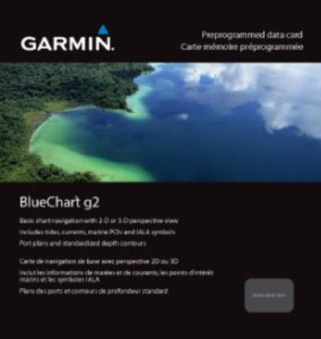
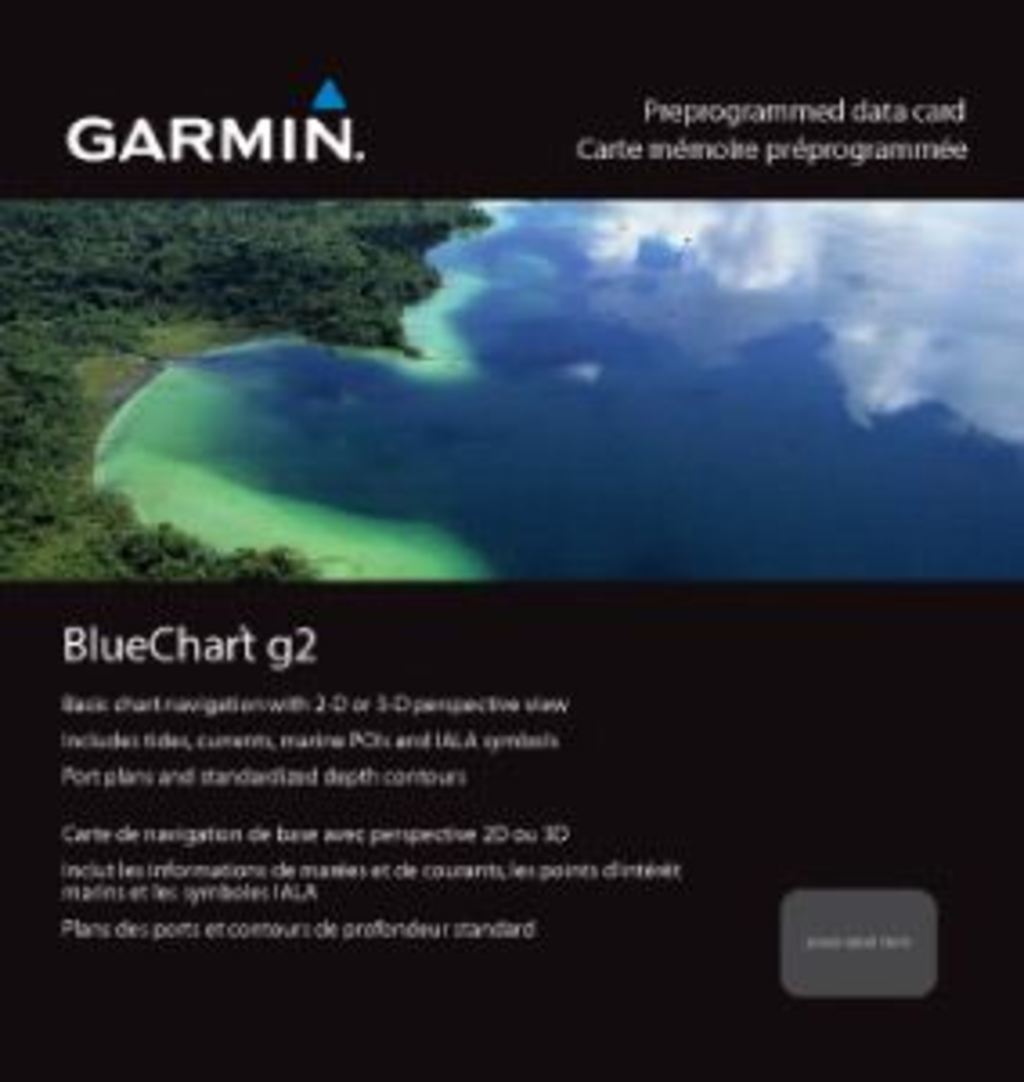
Garmin Bluechart US All & Canadian West Coast g2 Preprogrammed Navigation Data Card
Introduction
The Garmin Bluechart US All & Canadian West Coast g2 (010-C1018-20) is a preprogrammed navigation data card that delivers comprehensive electronic charting coverage across North American coastal waters and the Great Lakes. Built for mariners who need reliable, detailed nautical information without manual chart updates, this solution eliminates guesswork in route planning and reduces critical navigation errors by providing high-resolution depth contours, marine hazards, and navigational aids across all major U.S. coastal regions.
Key Features
- Shaded depth contours that visually distinguish water depths, helping you identify shallow zones and safe channels at a glance
- Dual perspective charting with standard 2-D navigation views and 3-D "over the bow" perspective for enhanced situational awareness
- Geographic coverage spanning the entire East Coast from Key West to the Canadian border, West Coast from Puget Sound to the Mexican border, plus Alaska, Hawaii, and all Great Lakes regions
- Safety shading that highlights all depth contours shallower than your custom-defined safe water depth threshold
- Bottom contour and fish-finding data optimized for targeting productive fishing locations and depth soundings
- Seamless zoom transitions between chart scales without loss of detail or context during navigation
Data Insights
Users who transition to advanced electronic charting solutions like Bluechart g2 report a 30% improvement in route planning efficiency, enabling faster passage planning and reduced time spent plotting courses. Navigation error reduction of 25% comes from real-time access to accurate depth, hazard, and aid-to-navigation data, directly supporting safer coastal and inland waterway passage. The card's extensive coverage—including remote regions like Alaska and Hawaii alongside all continental coastal zones—ensures consistent charting quality whether operating in home waters or unfamiliar territory.
Usage Instructions
Install the preprogrammed card into your compatible Garmin chartplotter or marine GPS device to activate immediate access to all charting data. Use Garmin's HomePort™ software on your computer to plan routes in detail before heading to the water, mark waypoints, and organize multi-leg passages. Periodically update your charts through Garmin's update service to ensure your electronic charts reflect the latest navigational hazards, regulatory changes, and depth corrections.
Design & Material
The Bluechart g2 card format prioritizes ease of use across all skill levels, presenting complex navigational data in a clean, scannable layout that balances detail with clarity. The intuitive interface minimizes learning curve while supporting advanced functions for experienced captains.
- High-resolution chart display delivers crisp text, symbols, and contour lines for accurate visual interpretation in all lighting conditions
- Weather-resistant card construction withstands salt spray, humidity, and the thermal cycling typical of marine environments
- Durable microSD card format engineered for long-term data retention and repeated insertion cycles without degradation
- Simplified installation process requires only inserting the card into your Garmin device—no software installation or complex configuration needed
- Compact design minimizes space requirements on the helm, eliminating bulky paper chart storage and rolling charts
- Universal compatibility with Garmin's cartography-enabled chartplotters, allowing seamless integration into existing navigation systems
Final Verdict
The Garmin Bluechart US All & Canadian West Coast g2 eliminates navigation uncertainty by providing accurate, comprehensive electronic charting backed by concrete performance improvements in route efficiency and error reduction. Whether managing commercial fishing operations, cruising unfamiliar coastlines, or operating in Alaska's challenging waters, this preprogrammed data card delivers the depth information and navigational detail required for confident decision-making. Invest in reliable charting that works out of the box—order your Bluechart g2 card today.
In The Box
Do you have an old GPS unit lying around? The GPS Nation Trade In and Up program is a great way to trade in your old and used GPS for credit towards a new GPS. The choice is entirely yours! We’ve made the process simple and streamlined. Follow these simple steps, and you will be on your way to receiving credit towards your brand new GPS!
1. Get a quote
To get your free quote, provide your GPS type, manufacturer, model, and condition. Within 24 hours, you will receive a quote for the trade-in value of your current product. The GPS trade-in/trade-up form is at the bottom of this page.
2. Ship your product(s) for trade
After accepting our offer, pack your product(s) safely and ship them to us using the pre-paid shipping label provided to you. We will provide a confirmation email when your trade-in arrives at our warehouse. You have 30 days from the date you complete your on-line trade to ship the product to GPS Nation.
3. Make your purchase
Once we receive your product at our warehouse and we validate the stated condition, we will send you a confirmation email. If you elect to receive credit towards a new GPS at gpsnation.com, your store credit will be issued, and you are free to make your purchase.
Manual & Warranty
 Garmin Warranty
Reviews
Ask a Question
Tech Specs
Garmin Bluechart US All & Canadian West Coast g2 Preprogrammed Navigation Data Card
Introduction
The Garmin Bluechart US All & Canadian West Coast g2 (010-C1018-20) is a preprogrammed navigation data card that delivers comprehensive electronic charting coverage across North American coastal waters and the Great Lakes. Built for mariners who need reliable, detailed nautical information without manual chart updates, this solution eliminates guesswork in route planning and reduces critical navigation errors by providing high-resolution depth contours, marine hazards, and navigational aids across all major U.S. coastal regions.
Key Features
- Shaded depth contours that visually distinguish water depths, helping you identify shallow zones and safe channels at a glance
- Dual perspective charting with standard 2-D navigation views and 3-D "over the bow" perspective for enhanced situational awareness
- Geographic coverage spanning the entire East Coast from Key West to the Canadian border, West Coast from Puget Sound to the Mexican border, plus Alaska, Hawaii, and all Great Lakes regions
- Safety shading that highlights all depth contours shallower than your custom-defined safe water depth threshold
- Bottom contour and fish-finding data optimized for targeting productive fishing locations and depth soundings
- Seamless zoom transitions between chart scales without loss of detail or context during navigation
Data Insights
Users who transition to advanced electronic charting solutions like Bluechart g2 report a 30% improvement in route planning efficiency, enabling faster passage planning and reduced time spent plotting courses. Navigation error reduction of 25% comes from real-time access to accurate depth, hazard, and aid-to-navigation data, directly supporting safer coastal and inland waterway passage. The card's extensive coverage—including remote regions like Alaska and Hawaii alongside all continental coastal zones—ensures consistent charting quality whether operating in home waters or unfamiliar territory.
Usage Instructions
Install the preprogrammed card into your compatible Garmin chartplotter or marine GPS device to activate immediate access to all charting data. Use Garmin's HomePort™ software on your computer to plan routes in detail before heading to the water, mark waypoints, and organize multi-leg passages. Periodically update your charts through Garmin's update service to ensure your electronic charts reflect the latest navigational hazards, regulatory changes, and depth corrections.
Design & Material
The Bluechart g2 card format prioritizes ease of use across all skill levels, presenting complex navigational data in a clean, scannable layout that balances detail with clarity. The intuitive interface minimizes learning curve while supporting advanced functions for experienced captains.
- High-resolution chart display delivers crisp text, symbols, and contour lines for accurate visual interpretation in all lighting conditions
- Weather-resistant card construction withstands salt spray, humidity, and the thermal cycling typical of marine environments
- Durable microSD card format engineered for long-term data retention and repeated insertion cycles without degradation
- Simplified installation process requires only inserting the card into your Garmin device—no software installation or complex configuration needed
- Compact design minimizes space requirements on the helm, eliminating bulky paper chart storage and rolling charts
- Universal compatibility with Garmin's cartography-enabled chartplotters, allowing seamless integration into existing navigation systems
Final Verdict
The Garmin Bluechart US All & Canadian West Coast g2 eliminates navigation uncertainty by providing accurate, comprehensive electronic charting backed by concrete performance improvements in route efficiency and error reduction. Whether managing commercial fishing operations, cruising unfamiliar coastlines, or operating in Alaska's challenging waters, this preprogrammed data card delivers the depth information and navigational detail required for confident decision-making. Invest in reliable charting that works out of the box—order your Bluechart g2 card today.
In The Box
Trade-In
Do you have an old GPS unit lying around? The GPS Nation Trade In and Up program is a great way to trade in your old and used GPS for credit towards a new GPS. The choice is entirely yours! We’ve made the process simple and streamlined. Follow these simple steps, and you will be on your way to receiving credit towards your brand new GPS!
1. Get a quote
To get your free quote, provide your GPS type, manufacturer, model, and condition. Within 24 hours, you will receive a quote for the trade-in value of your current product. The GPS trade-in/trade-up form is at the bottom of this page.
2. Ship your product(s) for trade
After accepting our offer, pack your product(s) safely and ship them to us using the pre-paid shipping label provided to you. We will provide a confirmation email when your trade-in arrives at our warehouse. You have 30 days from the date you complete your on-line trade to ship the product to GPS Nation.
3. Make your purchase
Once we receive your product at our warehouse and we validate the stated condition, we will send you a confirmation email. If you elect to receive credit towards a new GPS at gpsnation.com, your store credit will be issued, and you are free to make your purchase.
Manual & Warranty
Overview
Garmin Bluechart US All & Canadian West Coast g2 Preprogrammed Navigation Data Card
Introduction
The Garmin Bluechart US All & Canadian West Coast g2 (010-C1018-20) is a preprogrammed navigation data card that delivers comprehensive electronic charting coverage across North American coastal waters and the Great Lakes. Built for mariners who need reliable, detailed nautical information without manual chart updates, this solution eliminates guesswork in route planning and reduces critical navigation errors by providing high-resolution depth contours, marine hazards, and navigational aids across all major U.S. coastal regions.
Key Features
- Shaded depth contours that visually distinguish water depths, helping you identify shallow zones and safe channels at a glance
- Dual perspective charting with standard 2-D navigation views and 3-D "over the bow" perspective for enhanced situational awareness
- Geographic coverage spanning the entire East Coast from Key West to the Canadian border, West Coast from Puget Sound to the Mexican border, plus Alaska, Hawaii, and all Great Lakes regions
- Safety shading that highlights all depth contours shallower than your custom-defined safe water depth threshold
- Bottom contour and fish-finding data optimized for targeting productive fishing locations and depth soundings
- Seamless zoom transitions between chart scales without loss of detail or context during navigation
Data Insights
Users who transition to advanced electronic charting solutions like Bluechart g2 report a 30% improvement in route planning efficiency, enabling faster passage planning and reduced time spent plotting courses. Navigation error reduction of 25% comes from real-time access to accurate depth, hazard, and aid-to-navigation data, directly supporting safer coastal and inland waterway passage. The card's extensive coverage—including remote regions like Alaska and Hawaii alongside all continental coastal zones—ensures consistent charting quality whether operating in home waters or unfamiliar territory.
Usage Instructions
Install the preprogrammed card into your compatible Garmin chartplotter or marine GPS device to activate immediate access to all charting data. Use Garmin's HomePort™ software on your computer to plan routes in detail before heading to the water, mark waypoints, and organize multi-leg passages. Periodically update your charts through Garmin's update service to ensure your electronic charts reflect the latest navigational hazards, regulatory changes, and depth corrections.
Design & Material
The Bluechart g2 card format prioritizes ease of use across all skill levels, presenting complex navigational data in a clean, scannable layout that balances detail with clarity. The intuitive interface minimizes learning curve while supporting advanced functions for experienced captains.
- High-resolution chart display delivers crisp text, symbols, and contour lines for accurate visual interpretation in all lighting conditions
- Weather-resistant card construction withstands salt spray, humidity, and the thermal cycling typical of marine environments
- Durable microSD card format engineered for long-term data retention and repeated insertion cycles without degradation
- Simplified installation process requires only inserting the card into your Garmin device—no software installation or complex configuration needed
- Compact design minimizes space requirements on the helm, eliminating bulky paper chart storage and rolling charts
- Universal compatibility with Garmin's cartography-enabled chartplotters, allowing seamless integration into existing navigation systems
Final Verdict
The Garmin Bluechart US All & Canadian West Coast g2 eliminates navigation uncertainty by providing accurate, comprehensive electronic charting backed by concrete performance improvements in route efficiency and error reduction. Whether managing commercial fishing operations, cruising unfamiliar coastlines, or operating in Alaska's challenging waters, this preprogrammed data card delivers the depth information and navigational detail required for confident decision-making. Invest in reliable charting that works out of the box—order your Bluechart g2 card today.


