


Garmin ECHOMAP UHD2 7" sv Chartplotters 74sv with GT54UHD-TM Transducer and Garmin Navionics+ U.S. Coastal & Great Lakes Mapping (010-02685-01)
Garmin ECHOMAP UHD2 7" sv Chartplotters 74sv with GT54UHD-TM Transducer and Garmin Navionics+ U.S. Coastal & Great Lakes Mapping (010-02685-01)
Model Number: 010-02685-01
Low stock
 WhatsApp
 SMS - Text us!
 Email Us!
 Help Desk

Tech Specs

In The Box
GT54-TM transducer
Power cable
Tilt/swivel mount with quick release cradle
Protective cover
Hardware
Documentation
Manual & Warranty
 Garmin Warranty
Do you have an old GPS unit lying around? The GPS Nation Trade In and Up program is a great way to trade in your old and used GPS for credit towards a new GPS. The choice is entirely yours! We’ve made the process simple and streamlined. Follow these simple steps, and you will be on your way to receiving credit towards your brand new GPS!
1. Get a quote
To get your free quote, provide your GPS type, manufacturer, model, and condition. Within 24 hours, you will receive a quote for the trade-in value of your current product. The GPS trade-in/trade-up form is at the bottom of this page.
2. Ship your product(s) for trade
After accepting our offer, pack your product(s) safely and ship them to us using the pre-paid shipping label provided to you. We will provide a confirmation email when your trade-in arrives at our warehouse. You have 30 days from the date you complete your on-line trade to ship the product to GPS Nation.
3. Make your purchase
Once we receive your product at our warehouse and we validate the stated condition, we will send you a confirmation email. If you elect to receive credit towards a new GPS at gpsnation.com, your store credit will be issued, and you are free to make your purchase.
Reviews
Ask a Question
Tech Specs
In The Box
GT54-TM transducer
Power cable
Tilt/swivel mount with quick release cradle
Protective cover
Hardware
Documentation
Manual & Warranty
Trade-In
Do you have an old GPS unit lying around? The GPS Nation Trade In and Up program is a great way to trade in your old and used GPS for credit towards a new GPS. The choice is entirely yours! We’ve made the process simple and streamlined. Follow these simple steps, and you will be on your way to receiving credit towards your brand new GPS!
1. Get a quote
To get your free quote, provide your GPS type, manufacturer, model, and condition. Within 24 hours, you will receive a quote for the trade-in value of your current product. The GPS trade-in/trade-up form is at the bottom of this page.
2. Ship your product(s) for trade
After accepting our offer, pack your product(s) safely and ship them to us using the pre-paid shipping label provided to you. We will provide a confirmation email when your trade-in arrives at our warehouse. You have 30 days from the date you complete your on-line trade to ship the product to GPS Nation.
3. Make your purchase
Once we receive your product at our warehouse and we validate the stated condition, we will send you a confirmation email. If you elect to receive credit towards a new GPS at gpsnation.com, your store credit will be issued, and you are free to make your purchase.
Overview
Garmin ECHOMAP UHD2 7" sv Chartplotter with GT54UHD-TM Transducer and Navionics+ Mapping
Introduction
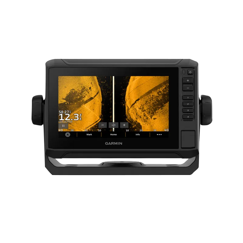
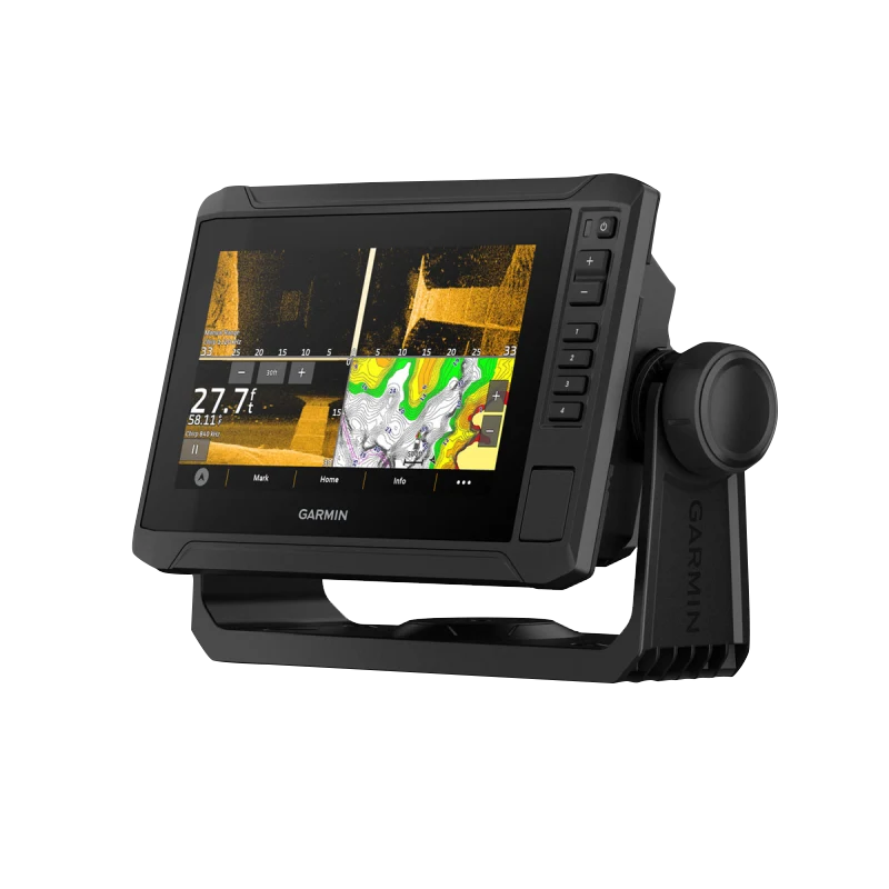
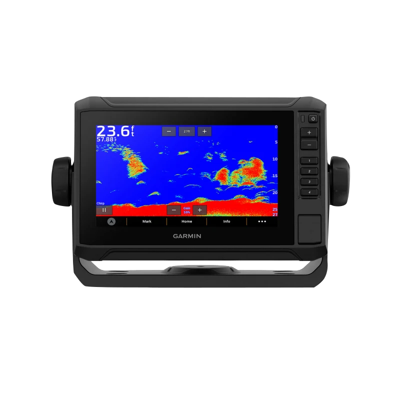
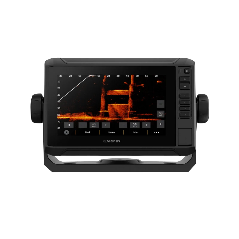
The Garmin ECHOMAP UHD2 7" sv Chartplotter (model 010-02685-01) delivers precision navigation and sonar imaging for serious anglers and boaters. Built around a 7-inch touchscreen display paired with the GT54UHD-TM transducer, this unit captures underwater structure and fish location with Ultra High-Definition clarity, enabling faster decision-making and more efficient time on the water. The combination of real-time sonar feedback, preloaded coastal mapping, and wireless networking creates a complete fishing and navigation system that performs across varied freshwater and saltwater conditions.
Key Features
- 7-inch touchscreen display with keyed-assist physical button control for reliable operation in all lighting conditions
- 800 x 480 pixel resolution on the display panel for clear, detailed viewing of charts and sonar imagery
- Ultra High-Definition sonar display capability delivering imagery at up to 60 frames per second for real-time underwater visualization
- Triple sonar compatibility supporting Garmin traditional sonar, ClearVü, and SideVü imaging technologies
- GT54UHD-TM transducer included for high-frequency sonar performance and precise target identification
- LiveScope real-time scanning sonar compatible for advanced real-time underwater monitoring capabilities
- Garmin Navionics+ U.S. Coastal and Great Lakes mapping with one-year subscription for daily chart updates
- Wireless networking for sharing sonar data, waypoints, and routes with other compatible ECHOMAP UHD2 units
- Auto Guidance+ technology for efficient route planning and navigation optimization
Data Insights
The ECHOMAP UHD2's sonar performance centers on the combination of high-resolution display and rapid refresh rates. At 60 frames per second, the unit delivers near-instantaneous sonar feedback that reveals underwater structure, vegetation, and fish location with minimal lag. The 800 x 480 pixel display resolution ensures fine detail visibility even on smaller targets, making structure identification quicker and more reliable. Anglers using this chartplotter report enhanced fishing efficiency through accelerated structure location and more targeted approach strategies.
Usage Instructions
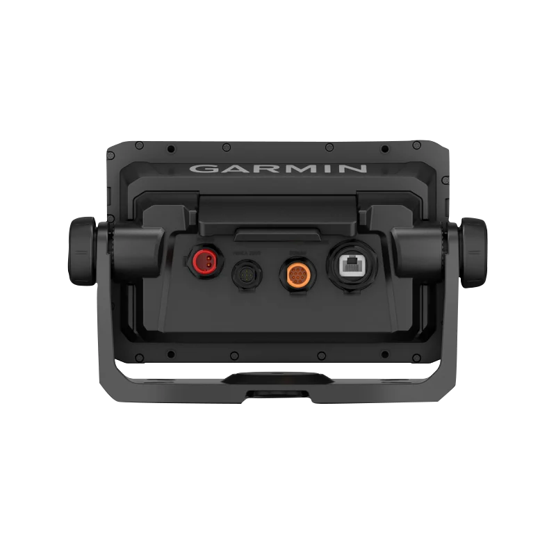
Mount the chartplotter securely in a location offering clear sightlines of both the display and your operating environment. Connect the GT54UHD-TM transducer to the dedicated sonar port and verify the connection registers on the touchscreen display. Access the mapping features through the home menu to load your target waters and set up waypoints or custom routes. Activate sonar through the touchscreen interface and select your preferred sonar mode (traditional, ClearVü, or SideVü) depending on the water conditions and structure type you are targeting. Use Auto Guidance+ to plan efficient routes between waypoints, then enable wireless networking in the settings menu to connect with other compatible devices on your vessel.
Design & Material
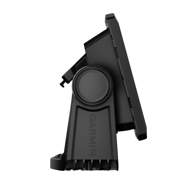
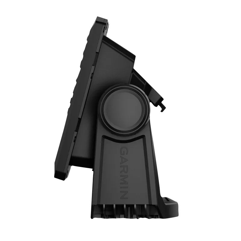
The ECHOMAP UHD2 employs a compact, functional design engineered for extended marine operation. Its housing withstands saltwater spray, freshwater conditions, and extreme temperature fluctuations without performance degradation. The robust construction maintains reliability across seasons of regular use.
- Durable marine-grade housing resistant to water intrusion and corrosion
- Premium high-resolution touchscreen optimized for bright sunlight and varied lighting angles
- Compact footprint designed to fit securely on center consoles, control stations, and hardtops without consuming excessive space
- Efficient heat dissipation system maintains stable operating temperatures during extended use
- Included mounting hardware and flush-mount bracket support rapid installation on various boat configurations
- Ergonomic button placement and touchscreen interface minimize operational learning curve and reduce fatigue during long fishing trips
Final Verdict
The Garmin ECHOMAP UHD2 7" sv Chartplotter combines real-time sonar imaging, precision mapping, and user-friendly controls into a single system purpose-built for fishing and boating. The included GT54UHD-TM transducer eliminates the need for separate purchases, while Navionics+ mapping covers major U.S. coastal and inland waters immediately. Whether you fish structure-heavy lakes or navigate coastal waterways, this chartplotter reduces time spent locating productive areas and increases confidence in navigation decisions. Equip your boat with proven sonar and charting technology that delivers consistent, reliable performance season after season.


