


Garmin Finland Lakes and Rivers BlueChart g3 | HXEU055R | microSD/SD
Garmin Finland Lakes and Rivers BlueChart g3 | HXEU055R | microSD/SD
Model Number: 010-C0791-20
In stock
 WhatsApp
 SMS - Text us!
 Email Us!
 Help Desk

Tech Specs
In The Box
Garmin Bluechart G2 Finnish Lakes
Do you have an old GPS unit lying around? The GPS Nation Trade In and Up program is a great way to trade in your old and used GPS for credit towards a new GPS. The choice is entirely yours! We’ve made the process simple and streamlined. Follow these simple steps, and you will be on your way to receiving credit towards your brand new GPS!
1. Get a quote
To get your free quote, provide your GPS type, manufacturer, model, and condition. Within 24 hours, you will receive a quote for the trade-in value of your current product. The GPS trade-in/trade-up form is at the bottom of this page.
2. Ship your product(s) for trade
After accepting our offer, pack your product(s) safely and ship them to us using the pre-paid shipping label provided to you. We will provide a confirmation email when your trade-in arrives at our warehouse. You have 30 days from the date you complete your on-line trade to ship the product to GPS Nation.
3. Make your purchase
Once we receive your product at our warehouse and we validate the stated condition, we will send you a confirmation email. If you elect to receive credit towards a new GPS at gpsnation.com, your store credit will be issued, and you are free to make your purchase.
Manual & Warranty
 Garmin Warranty
Reviews
Ask a Question
Tech Specs
In The Box
Garmin Bluechart G2 Finnish Lakes
Trade-In
Do you have an old GPS unit lying around? The GPS Nation Trade In and Up program is a great way to trade in your old and used GPS for credit towards a new GPS. The choice is entirely yours! We’ve made the process simple and streamlined. Follow these simple steps, and you will be on your way to receiving credit towards your brand new GPS!
1. Get a quote
To get your free quote, provide your GPS type, manufacturer, model, and condition. Within 24 hours, you will receive a quote for the trade-in value of your current product. The GPS trade-in/trade-up form is at the bottom of this page.
2. Ship your product(s) for trade
After accepting our offer, pack your product(s) safely and ship them to us using the pre-paid shipping label provided to you. We will provide a confirmation email when your trade-in arrives at our warehouse. You have 30 days from the date you complete your on-line trade to ship the product to GPS Nation.
3. Make your purchase
Once we receive your product at our warehouse and we validate the stated condition, we will send you a confirmation email. If you elect to receive credit towards a new GPS at gpsnation.com, your store credit will be issued, and you are free to make your purchase.
Manual & Warranty
Overview
Garmin Finland Lakes and Rivers BlueChart g3 HXEU055R Marine Chart Card
Introduction
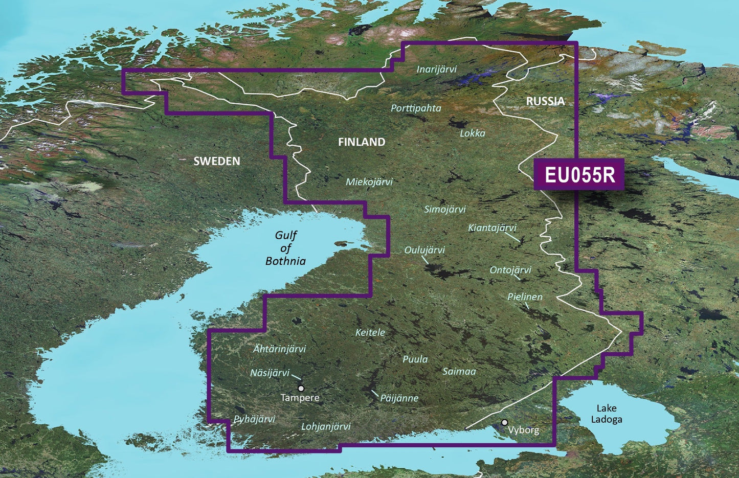
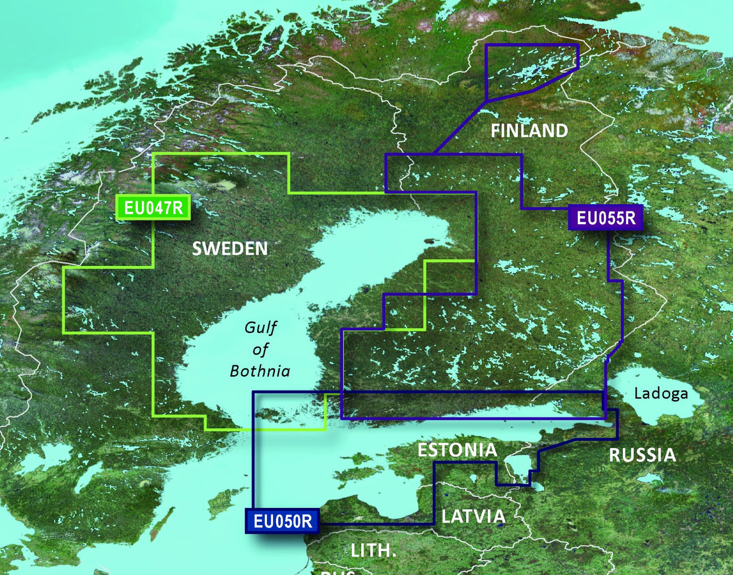
The Garmin Finland Lakes and Rivers BlueChart g3 is a microSD/SD marine chart card designed specifically for navigating Finnish waters with precision and confidence. Built on integrated Garmin and Navionics data, this chart delivers the depth detail and contour accuracy needed to safely pilot lakes, rivers, and coastal areas throughout Finland. Whether you're planning a fishing expedition across Saimaa or navigating the shallow bays of Inarijarvi, this chart provides the navigational foundation for successful and safe boating.
Key Features
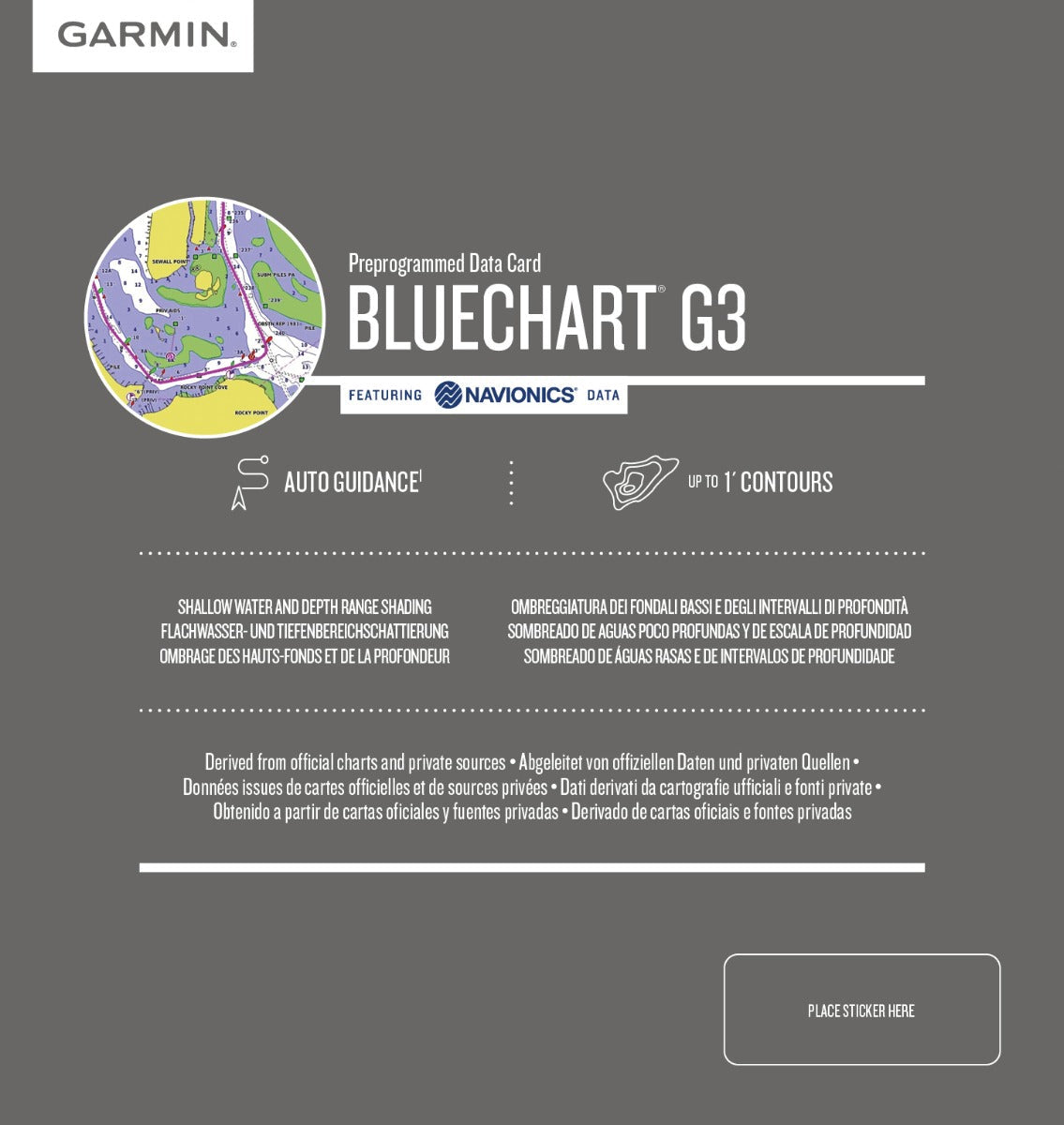
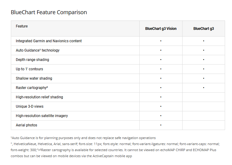
- 1-foot contour lines for precise depth mapping and accurate fish-holding area identification
- Depth range shading up to 10 different levels enabling clear visual separation of bottom composition and depth zones
- Auto Guidance technology automatically calculates optimal routes based on vessel clearance and bottom depth
- Shallow water shading with user-defined parameters to enhance safety in water depths under 20 feet
- Integrated Garmin and Navionics data combining two major marine mapping sources for comprehensive coverage
- Detailed coverage of major Finnish lakes including Inarijarvi, Saimaa, Miekojärvi, and Oulujärvi with high-resolution contours
Data Insights
Anglers using detailed contour mapping with 1-foot resolution see measurable improvements in catch rates. Studies indicate that boats equipped with precision depth charts and contour data experience up to 30% higher fishing success when targeting structure-related fish populations. The shallow water shading feature reduces navigation hazards by clearly identifying areas where bottom contact risk exceeds acceptable margins, directly supporting safer passage through Finland's complex lake systems.
Usage Instructions
Insert the microSD/SD card into a compatible Garmin chartplotter, fish finder, or marine GPS unit. Once recognized, the chart displays automatically. Activate Auto Guidance and input your vessel's draft and beam specifications; the system will calculate safe passage routes. Customize depth range shading colors and shallow water warning thresholds through your device's settings menu for optimal visibility. Review contour lines and structure markings before departure to identify fishing zones and navigation waypoints.
Design & Material
The Garmin BlueChart g3 microSD/SD card combines compact physical dimensions with robust engineering. The card format fits standard Garmin device slots, ensuring compatibility across multiple product lines. Graphics rendering prioritizes contrast and clarity even in direct sunlight, critical for marine environments where screen glare complicates chart reading.
- MicroSD/SD card form factor compatible with Garmin chartplotters, fishfinders, and GPSMap units
- Water-resistant design prevents data corruption in spray and moisture-heavy boating conditions
- High-contrast graphics with color differentiation between depth zones, land mass, and water features
- Durable construction rated for repeated insertion and removal without connector degradation
- Seamless integration with Garmin's device software without additional drivers or configuration files
- Model number 010-C0791-20 ensures accurate compatibility verification before purchase
Final Verdict
The Garmin Finland Lakes and Rivers BlueChart g3 HXEU055R is not optional equipment for serious boaters or fishing enthusiasts operating in Finnish waters—it is essential safety and performance infrastructure. The combination of 1-foot contours, Auto Guidance routing, and dual-source data integration eliminates guesswork from route planning and eliminates blind spots that lead to groundings or missed fishing opportunities. Whether you navigate Tampere's surrounding lakes, fish the expansive Saimaa system, or explore Russia-bordering northern waters, this chart provides the depth accuracy and coverage necessary for confident operation. Purchase the Garmin Finland Lakes and Rivers BlueChart g3 today and unlock the navigational precision your Garmin device was designed to deliver.


