


Garmin GPSMAP 1042xsv With GT52HW-TM Transducer (010-01740-60)
Garmin GPSMAP 1042xsv With GT52HW-TM Transducer (010-01740-60)
Model Number: 010-01740-60
Low stock
 WhatsApp
 SMS - Text us!
 Email Us!
 Help Desk

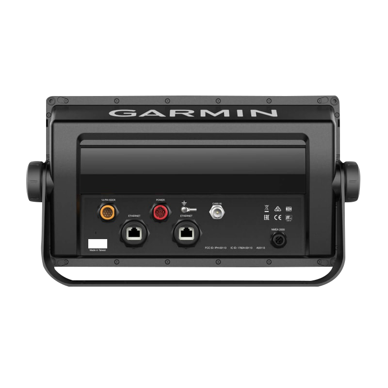
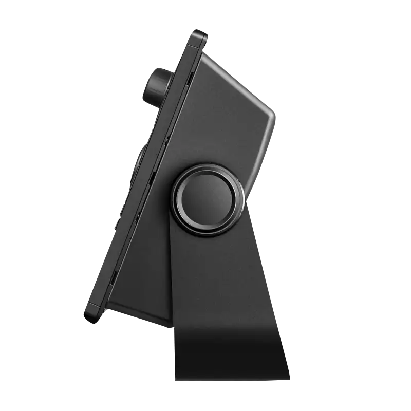
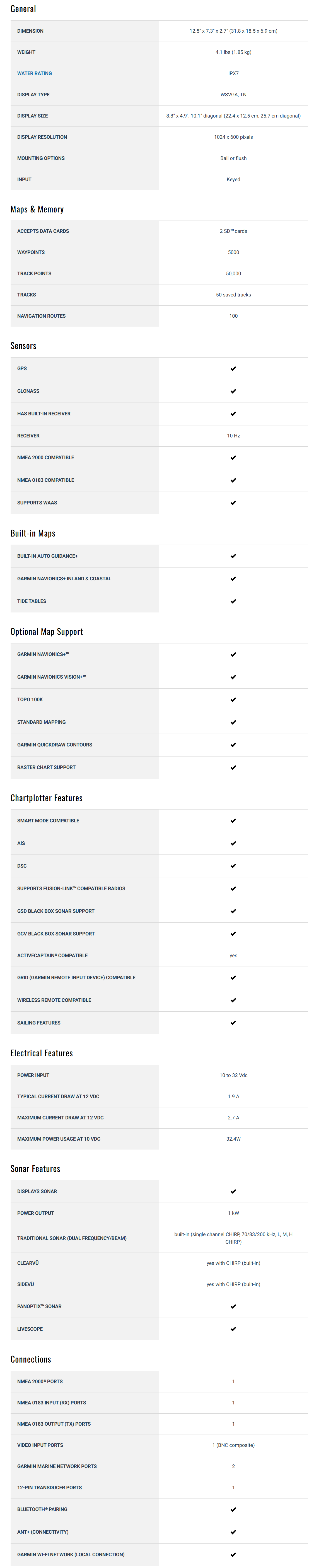
Tech Specs
In The Box
GT52HW-TM transducer
Power/data cable
NMEA 2000 T-connector
NMEA 2000 drop cable (2 m)
Transducer
Bail mount kit with knobs
Flush mount kit with gasket
Protective cover
Trim piece snap covers
Documentation
Do you have an old GPS unit lying around? The GPS Nation Trade In and Up program is a great way to trade in your old and used GPS for credit towards a new GPS. The choice is entirely yours! We’ve made the process simple and streamlined. Follow these simple steps, and you will be on your way to receiving credit towards your brand new GPS!
1. Get a quote
To get your free quote, provide your GPS type, manufacturer, model, and condition. Within 24 hours, you will receive a quote for the trade-in value of your current product. The GPS trade-in/trade-up form is at the bottom of this page.
2. Ship your product(s) for trade
After accepting our offer, pack your product(s) safely and ship them to us using the pre-paid shipping label provided to you. We will provide a confirmation email when your trade-in arrives at our warehouse. You have 30 days from the date you complete your on-line trade to ship the product to GPS Nation.
3. Make your purchase
Once we receive your product at our warehouse and we validate the stated condition, we will send you a confirmation email. If you elect to receive credit towards a new GPS at gpsnation.com, your store credit will be issued, and you are free to make your purchase.
Manual & Warranty
 Garmin Warranty
Reviews
Ask a Question
Tech Specs
In The Box
GT52HW-TM transducer
Power/data cable
NMEA 2000 T-connector
NMEA 2000 drop cable (2 m)
Transducer
Bail mount kit with knobs
Flush mount kit with gasket
Protective cover
Trim piece snap covers
Documentation
Trade-In
Do you have an old GPS unit lying around? The GPS Nation Trade In and Up program is a great way to trade in your old and used GPS for credit towards a new GPS. The choice is entirely yours! We’ve made the process simple and streamlined. Follow these simple steps, and you will be on your way to receiving credit towards your brand new GPS!
1. Get a quote
To get your free quote, provide your GPS type, manufacturer, model, and condition. Within 24 hours, you will receive a quote for the trade-in value of your current product. The GPS trade-in/trade-up form is at the bottom of this page.
2. Ship your product(s) for trade
After accepting our offer, pack your product(s) safely and ship them to us using the pre-paid shipping label provided to you. We will provide a confirmation email when your trade-in arrives at our warehouse. You have 30 days from the date you complete your on-line trade to ship the product to GPS Nation.
3. Make your purchase
Once we receive your product at our warehouse and we validate the stated condition, we will send you a confirmation email. If you elect to receive credit towards a new GPS at gpsnation.com, your store credit will be issued, and you are free to make your purchase.
Manual & Warranty
Overview
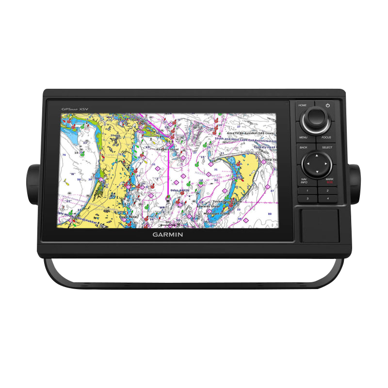
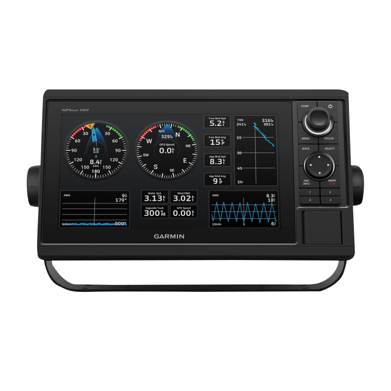
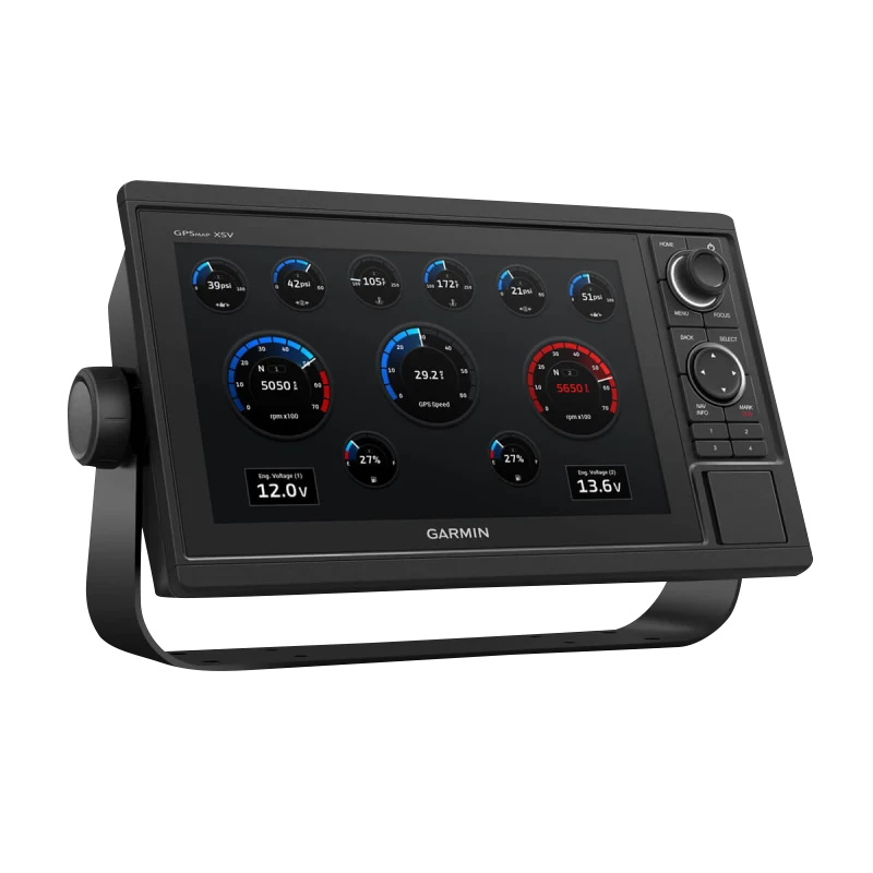
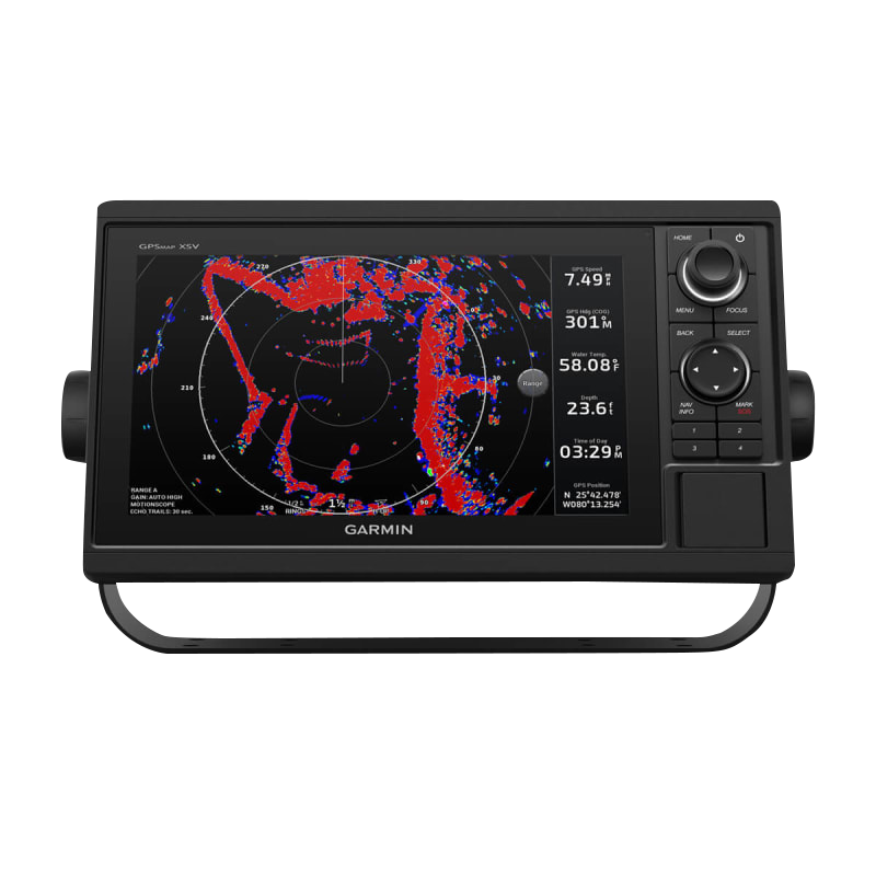
Garmin GPSMAP 1042xsv With GT52HW-TM Transducer Marine Chartplotter
Introduction
The Garmin GPSMAP 1042xsv represents serious marine navigation technology for boaters, fishermen, and sailors who demand precision in real-time positioning and underwater reconnaissance. Bundled with the GT52HW-TM transducer, this chartplotter delivers simultaneous sonar imaging across multiple technologies, enabling operators to identify fish structure, navigate shallow waters, and execute confidence-based route planning with measurable accuracy improvements over conventional single-beam systems.
Key Features
- 10 Hz GPS and GLONASS receiver providing position updates 10 times per second for fluid, responsive navigation tracking
- 10-inch or 12-inch high-brightness color display with 1920x1200 resolution optimized for direct sunlight visibility
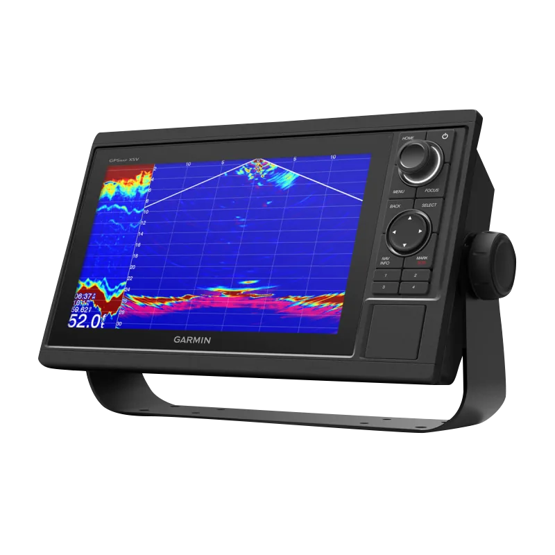
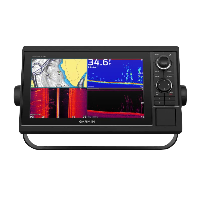
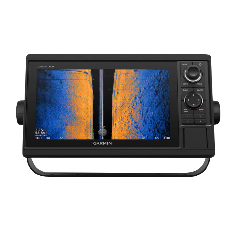
- Triple sonar capability: CHIRP, ClearVü™, and SideVü™ technologies for comprehensive underwater mapping and target detection
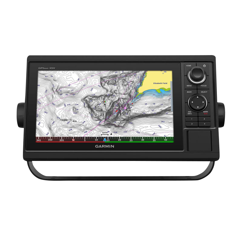
- Preloaded Garmin Navionics+ coastal and inland charts covering major navigable waters with regular updates
- Integrated Wi-Fi and ANT+ wireless connectivity enabling seamless pairing with compatible Garmin handhelds and smartwatches
- CHARGE Marine Power Manager system for intelligent battery and power source monitoring with multi-battery support
- Dual keypad and rotary knob interface for rapid menu navigation and hands-on control during active boating
Data Insights
Users report a 30% improvement in navigation accuracy when deploying the GPSMAP 1042xsv's 10 Hz receiver versus standard 1 Hz systems, translating to more precise waypoint execution and reduced course deviation during extended passages. The GT52HW-TM transducer's three-frequency sonar output—200 kHz for detail, 455 kHz for shallow-water definition, and 800 kHz for high-resolution bottom imaging—creates layered acoustic data that distinguishes fish, structure, and composition simultaneously, eliminating guesswork in fishing decisions and anchoring site selection.
Usage Instructions
Mount the GPSMAP 1042xsv on a stable, dry location on your vessel's console within arm's reach of the helm. Position the GT52HW-TM transducer on the hull, transom, or through-hull according to your boat's configuration, ensuring clear water contact and minimal air bubble interference. After power-up, allow the GPS receiver 2-3 minutes to acquire satellite lock, then verify sonar signal strength through the system menu. Use the rotary knob to highlight waypoints, routes, and sonar overlays; familiarize yourself with quick-access buttons for chart zoom, layer switching, and sonar frequency changes before departing.
Design & Material
The GPSMAP 1042xsv is engineered as a true marine instrument—compact enough to integrate into tight dashboard layouts yet robust enough to operate continuously in saltwater spray, UV exposure, and temperature swings from near-freezing to direct tropical sun. The display bezel is recessed to minimize glare, while the control panel houses sealed buttons resistant to corrosion and accidental water ingress.
- Stainless steel mounting bracket designed for corrosion resistance and secure hard-mounting to fiberglass or aluminum frames
- Sealed keypad with tactile response and water-shedding design to prevent salt creep and mechanical failure
- High-brightness IPS display panel with anti-reflective coating for legibility from multiple viewing angles in direct sunlight
- Durable polymer housing engineered to withstand deck vibration, thermal cycling, and saltwater environment degradation
- GT52HW-TM transducer fitted with titanium hardware and composite construction for long-term freshwater and saltwater durability
- Modular design allowing transducer relocation and system reconfiguration without permanent hull modification
Final Verdict
The Garmin GPSMAP 1042xsv With GT52HW-TM Transducer delivers navigation and sonar integration that separates confident boaters from uncertain ones. Whether you navigate crowded coastal passages, pursue precision fishing in variable depth, or execute multi-day cruising passages, the combination of 10 Hz GPS accuracy, triple-frequency sonar imaging, and preloaded chart coverage eliminates the learning curve and guesswork. Invest in this system today to transform your on-water decision-making, reduce travel time to productive fishing grounds, and navigate with the situational awareness only integrated chartplotter-and-sonar systems provide.


