


Garmin GPSMAP 79sc (010-02635-02)
Garmin GPSMAP 79sc (010-02635-02)
Model Number: 010-02635-02
In stock
 WhatsApp
 SMS - Text us!
 Email Us!
 Help Desk

Tech Specs
In The Box
- GPSMAP 79s or 79sc, depending on the version selected
- Lanyard
- USB cable
- Documentation
Do you have an old GPS unit lying around? The GPS Nation Trade In and Up program is a great way to trade in your old and used GPS for credit towards a new GPS. The choice is entirely yours! We’ve made the process simple and streamlined. Follow these simple steps, and you will be on your way to receiving credit towards your brand new GPS!
1. Get a quote
To get your free quote, provide your GPS type, manufacturer, model, and condition. Within 24 hours, you will receive a quote for the trade-in value of your current product. The GPS trade-in/trade-up form is at the bottom of this page.
2. Ship your product(s) for trade
After accepting our offer, pack your product(s) safely and ship them to us using the pre-paid shipping label provided to you. We will provide a confirmation email when your trade-in arrives at our warehouse. You have 30 days from the date you complete your on-line trade to ship the product to GPS Nation.
3. Make your purchase
Once we receive your product at our warehouse and we validate the stated condition, we will send you a confirmation email. If you elect to receive credit towards a new GPS at gpsnation.com, your store credit will be issued, and you are free to make your purchase.
Manual & Warranty
Reviews
Ask a Question
Tech Specs
In The Box
- GPSMAP 79s or 79sc, depending on the version selected
- Lanyard
- USB cable
- Documentation
Trade-In
Do you have an old GPS unit lying around? The GPS Nation Trade In and Up program is a great way to trade in your old and used GPS for credit towards a new GPS. The choice is entirely yours! We’ve made the process simple and streamlined. Follow these simple steps, and you will be on your way to receiving credit towards your brand new GPS!
1. Get a quote
To get your free quote, provide your GPS type, manufacturer, model, and condition. Within 24 hours, you will receive a quote for the trade-in value of your current product. The GPS trade-in/trade-up form is at the bottom of this page.
2. Ship your product(s) for trade
After accepting our offer, pack your product(s) safely and ship them to us using the pre-paid shipping label provided to you. We will provide a confirmation email when your trade-in arrives at our warehouse. You have 30 days from the date you complete your on-line trade to ship the product to GPS Nation.
3. Make your purchase
Once we receive your product at our warehouse and we validate the stated condition, we will send you a confirmation email. If you elect to receive credit towards a new GPS at gpsnation.com, your store credit will be issued, and you are free to make your purchase.
Manual & Warranty
Overview
Garmin GPSMAP 79sc Marine Handheld GPS Navigator
Introduction
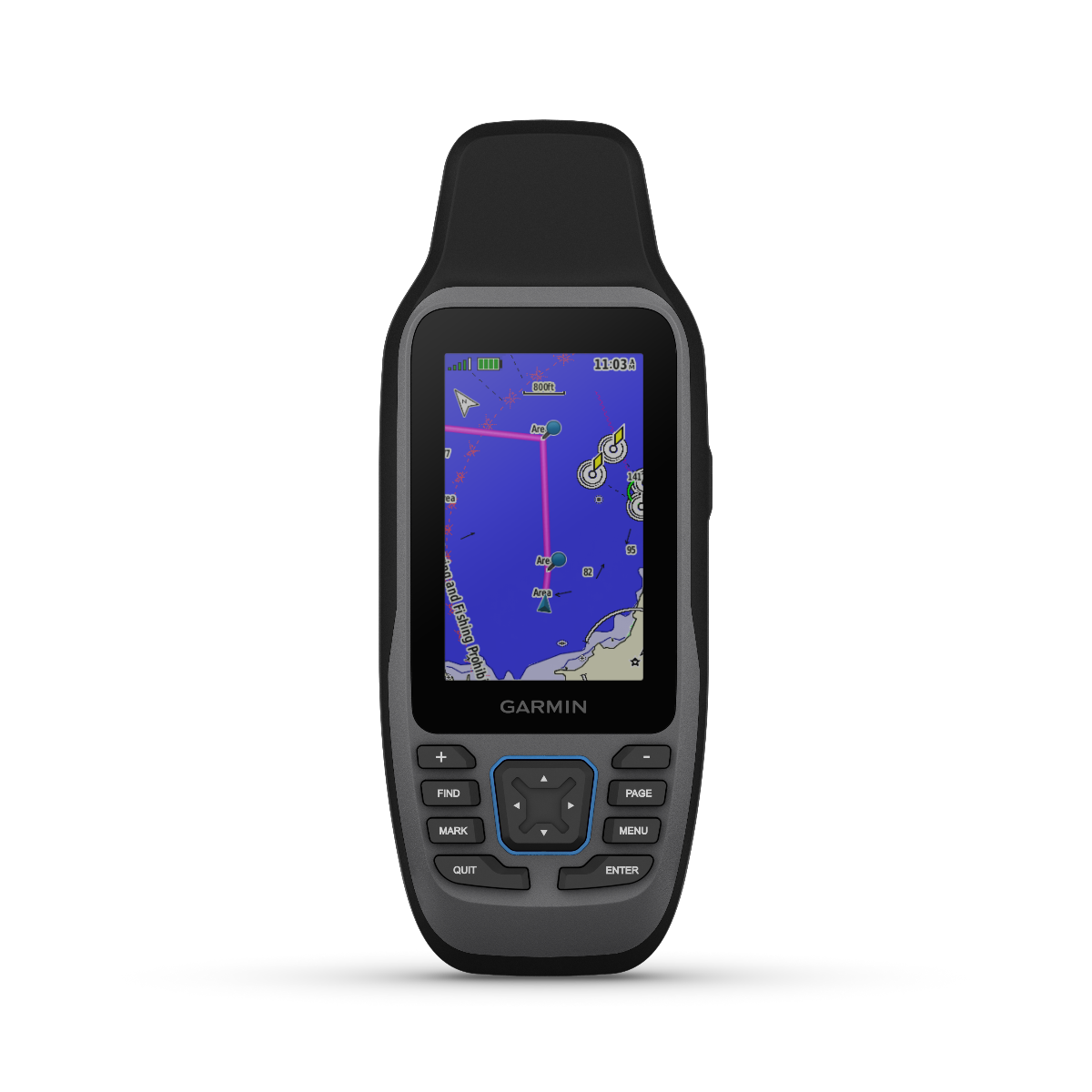
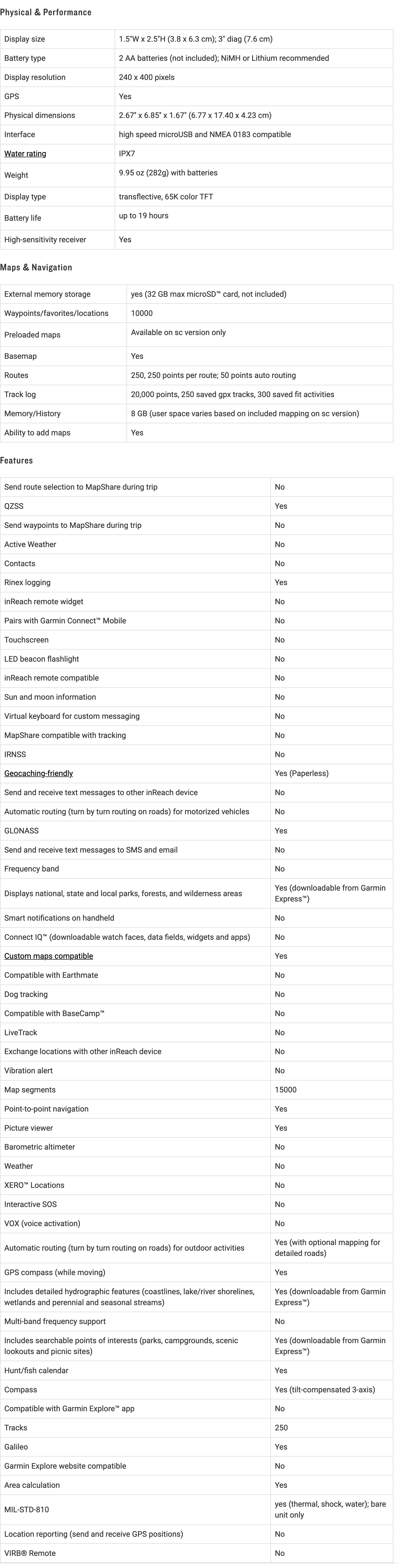
The Garmin GPSMAP 79sc is a purpose-built marine handheld GPS unit that delivers multi-constellation satellite tracking and integrated navigation charts in a compact, water-resistant package. Engineered for saltwater and freshwater environments, this device combines dual-frequency GNSS reception with preloaded BlueChart g3 coastal mapping, providing navigators with precise positioning and detailed bathymetric data in a single tool. The floating design and IPX7 water-resistance rating make it reliable backup navigation equipment or a primary handheld solution for fishing, sailing, and recreational boating operations.
Key Features
- 1.4-inch high-resolution color display with scratch-resistant, fogproof glass for readability in direct sunlight and wet conditions
- IPX7 water-resistance rating with automatic floating capability to recover from accidental water immersion
- Supports GPS, GLONASS, Beidou, Galileo, QZSS, and SBAS satellite constellations for enhanced position accuracy across global waters
- User-replaceable AA battery system providing up to 19 hours of continuous operation in GPS mode
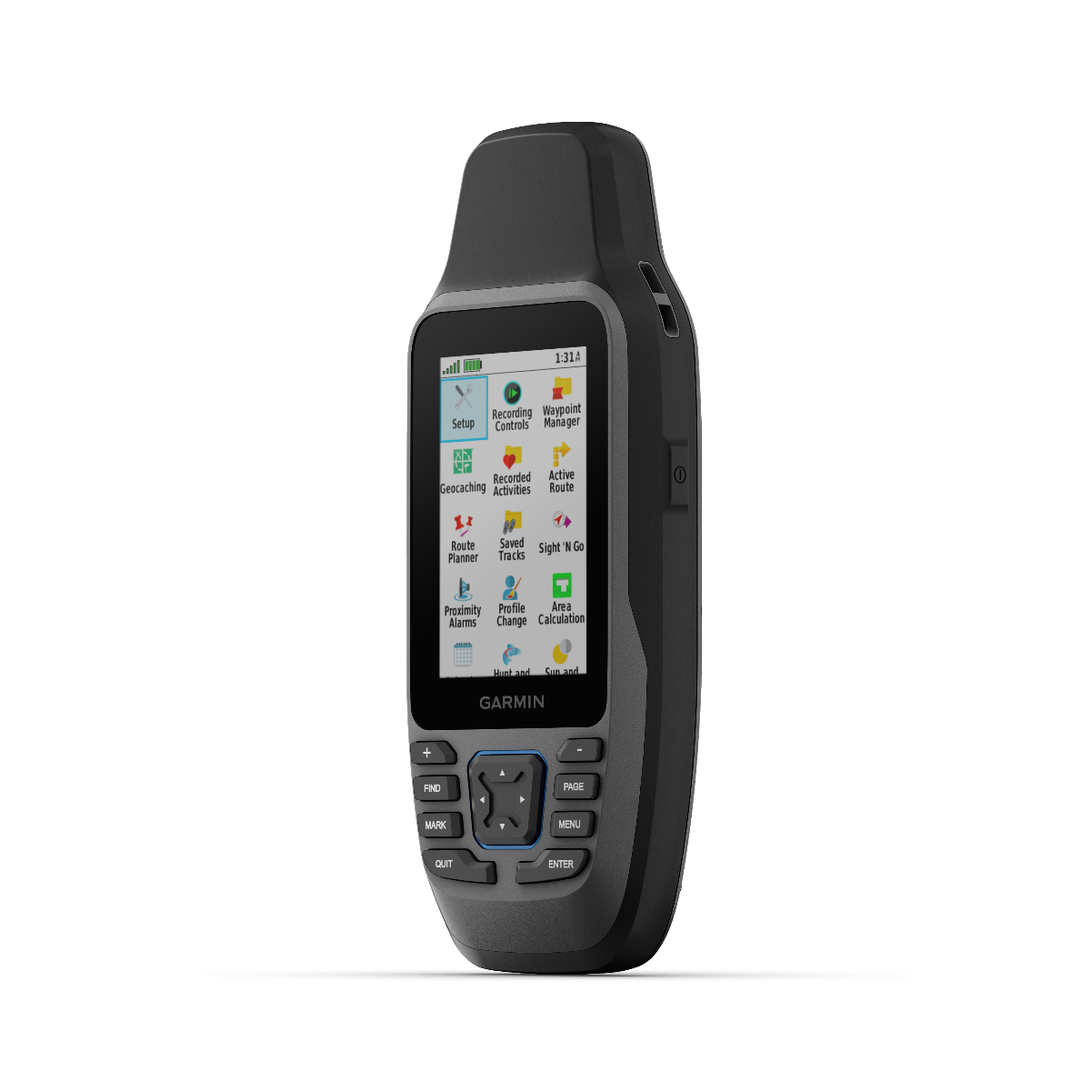
- Storage capacity for 10,000 waypoints, 250 saved routes, and 300 fitness activity files on internal memory
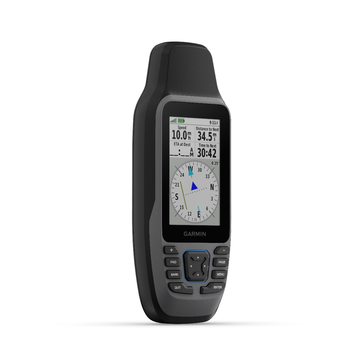
- 3-axis tilt-compensated electronic compass functioning regardless of vessel motion or stationary positioning
- Preloaded BlueChart g3 coastal charts combining Garmin and Navionics hydrographic data with contour mapping
Data Insights
The multi-constellation GNSS architecture of the GPSMAP 79sc delivers measurably improved positioning accuracy compared to single-system GPS receivers. By simultaneously tracking satellites from multiple networks, the device reduces acquisition time in challenging environments like narrow waterways and coastal waters where atmospheric obstruction commonly occurs. The 19-hour battery endurance in standard GPS mode significantly extends field deployment time relative to internal battery designs, allowing full-day operational use without external power resources or battery swaps during critical navigation periods.
Usage Instructions
Power on the device in an open area to establish initial satellite acquisition within 2 to 5 minutes, depending on atmospheric conditions and previous positioning history. Mark waypoints at key navigation reference points—fishing locations, anchorages, navigation hazards—using the directional pad and MARK button. Build routes by linking waypoints sequentially, then execute navigation by selecting your planned route from the saved routes menu. Consult the 3-axis compass display when planning approach vectors or when navigation requires accurate heading reference with the device held stationary. Replace AA batteries when the power indicator reaches the low threshold to maintain full operational performance. Apply available firmware updates via USB connection to access feature refinements and satellite constellation improvements.
Design & Material
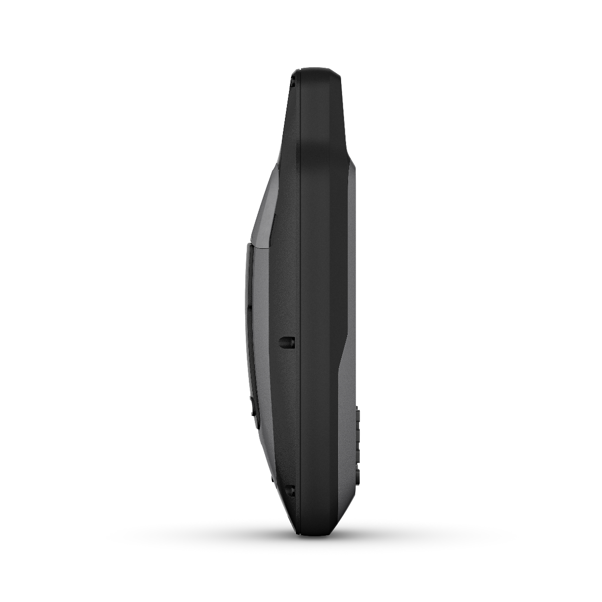
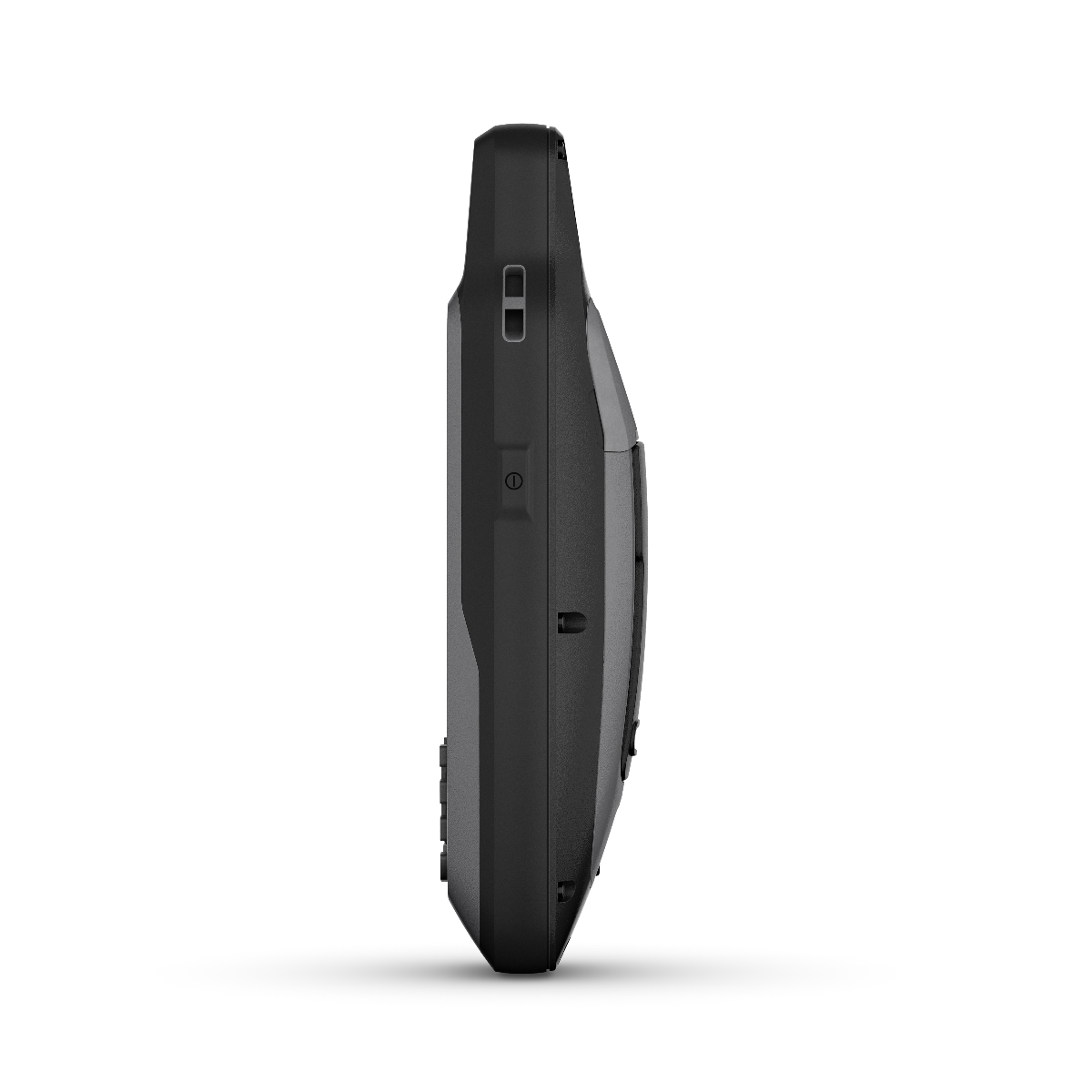
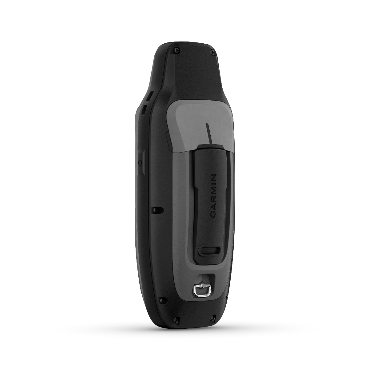
The GPSMAP 79sc combines a tapered handheld form factor with rugged housing materials designed to tolerate marine salt spray, impact, and extended sun exposure. The device measures to maximize single-hand operation while maintaining ergonomic contact points for extended navigation sessions. Materials and construction priority areas include:
- Elastomer overmold gripping surfaces providing secure handling in wet, slippery conditions
- Reinforced glass faceplate with oleophobic coating resisting fingerprints and saltwater residue buildup
- Polymer casing with internal corrosion-resistant hardware rated for repeated saltwater exposure
- Recessed button array protecting controls from accidental actuation and water intrusion around perimeter seals
- Integrated belt clip attachment point allowing secure mounting to personal flotation devices, harnesses, or packed gear
- Compact profile optimized for portability without requiring external carrying case integration
Final Verdict
The Garmin GPSMAP 79sc fills a defined role in marine navigation workflows where reliable chartplotting, waypoint management, and multi-constellation accuracy matter more than touchscreen complexity or smartphone integration. Its combination of preloaded BlueChart coastal charting, extensive waypoint storage, and proven durability standards make it practical equipment for anglers, cruising sailors, and professional marine operations requiring standalone navigation capability independent of cellular or internet connectivity. Operators seeking a dependable, repairable marine handheld GPS unit with legitimate floating capability and established BlueChart map support should prioritize the GPSMAP 79sc for their navigation toolkit.


