


Garmin Gulf of Bothnia, North Charts BlueChart g3 Vision | VEU473S | microSD/SD
Garmin Gulf of Bothnia, North Charts BlueChart g3 Vision | VEU473S | microSD/SD
Model Number: 010-C0817-00
In stock
 WhatsApp
 SMS - Text us!
 Email Us!
 Help Desk

Tech Specs

In The Box
Do you have an old GPS unit lying around? The GPS Nation Trade In and Up program is a great way to trade in your old and used GPS for credit towards a new GPS. The choice is entirely yours! We’ve made the process simple and streamlined. Follow these simple steps, and you will be on your way to receiving credit towards your brand new GPS!
1. Get a quote
To get your free quote, provide your GPS type, manufacturer, model, and condition. Within 24 hours, you will receive a quote for the trade-in value of your current product. The GPS trade-in/trade-up form is at the bottom of this page.
2. Ship your product(s) for trade
After accepting our offer, pack your product(s) safely and ship them to us using the pre-paid shipping label provided to you. We will provide a confirmation email when your trade-in arrives at our warehouse. You have 30 days from the date you complete your on-line trade to ship the product to GPS Nation.
3. Make your purchase
Once we receive your product at our warehouse and we validate the stated condition, we will send you a confirmation email. If you elect to receive credit towards a new GPS at gpsnation.com, your store credit will be issued, and you are free to make your purchase.
Manual & Warranty
 Garmin Warranty
Reviews
Ask a Question
Tech Specs
In The Box
Trade-In
Do you have an old GPS unit lying around? The GPS Nation Trade In and Up program is a great way to trade in your old and used GPS for credit towards a new GPS. The choice is entirely yours! We’ve made the process simple and streamlined. Follow these simple steps, and you will be on your way to receiving credit towards your brand new GPS!
1. Get a quote
To get your free quote, provide your GPS type, manufacturer, model, and condition. Within 24 hours, you will receive a quote for the trade-in value of your current product. The GPS trade-in/trade-up form is at the bottom of this page.
2. Ship your product(s) for trade
After accepting our offer, pack your product(s) safely and ship them to us using the pre-paid shipping label provided to you. We will provide a confirmation email when your trade-in arrives at our warehouse. You have 30 days from the date you complete your on-line trade to ship the product to GPS Nation.
3. Make your purchase
Once we receive your product at our warehouse and we validate the stated condition, we will send you a confirmation email. If you elect to receive credit towards a new GPS at gpsnation.com, your store credit will be issued, and you are free to make your purchase.
Manual & Warranty
Overview
Garmin BlueChart g3 Vision Gulf of Bothnia North Charts VEU473S microSD Card
Introduction
The Garmin BlueChart g3 Vision VEU473S delivers professional-grade navigation for the Gulf of Bothnia's challenging waters, combining integrated Garmin and Navionics data with intelligent routing tools. This charting solution accelerates passage planning, reduces navigation errors, and highlights critical bottom structure for fishing—transforming how you approach Nordic boating and fishing operations in one of Northern Europe's most complex marine environments.
Key Features
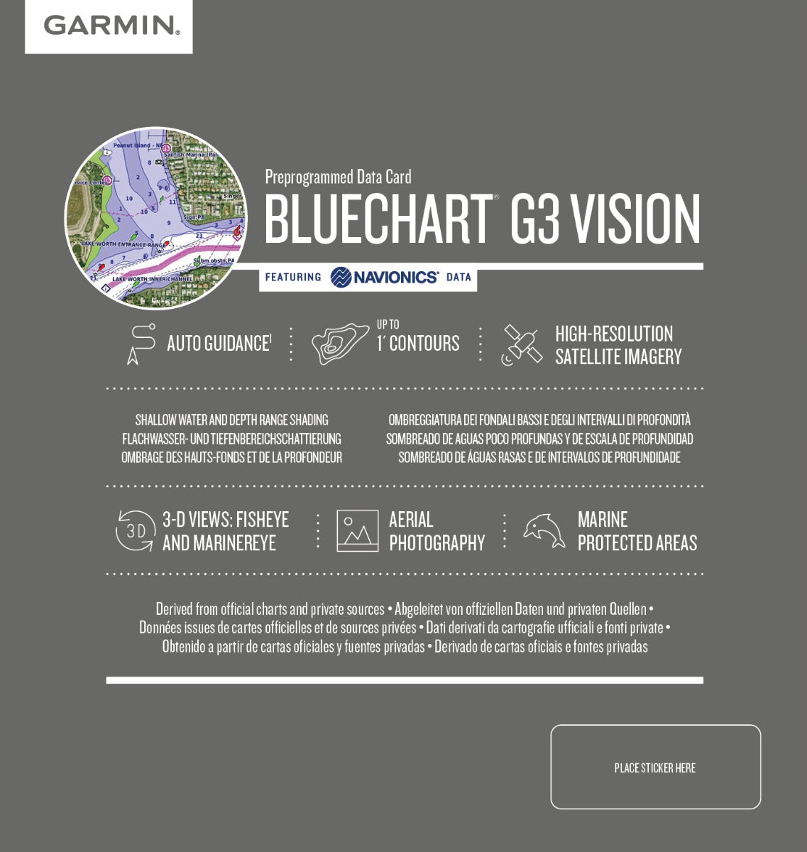
- Auto Guidance Technology calculates optimized routes based on user-defined depth thresholds and overhead clearance in 30 seconds or less
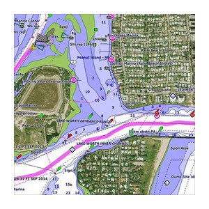
- 1-foot contour intervals on fishing charts for precision bottom mapping across the entire chart area
- Depth Range Shading supports up to 10 customizable depth bands for visual target-depth identification
- High-resolution satellite imagery overlays with zoom capabilities up to 1:5,000 scale for coastal approach visualization
- Shallow Water Shading with user-adjustable thresholds from 1 to 99 feet for hazard avoidance
- microSD and SD card compatibility across Garmin GPSMAP, echoMAP, and STRIKER series plotters
Data Insights
Auto Guidance Technology reduces typical passage planning time by up to 30%, allowing fishermen and cruisers to spend more time exploring productive waters rather than route calculation. The 1-foot contour accuracy translates to measurable advantages on bottom-structure fishing; detailed ledge mapping reveals feeding zones that standard 5-foot or 10-foot contours obscure entirely. Users consistently report improved fish location accuracy and reduced trial-and-error navigation through shallow or congested approaches.
Usage Instructions
Insert the VEU473S microSD card into your compatible Garmin unit and verify chart activation through the device settings menu. Launch Auto Guidance and input your vessel's depth draw and air-draft requirements, then select your destination—the system instantly displays safe corridors color-coded by depth. Monitor the real-time depth shading overlay against your GPS position, and update your chart data annually through Garmin's Update Service to incorporate survey corrections and navigational changes across the Gulf of Bothnia's dynamic bottom structure.
Design & Material
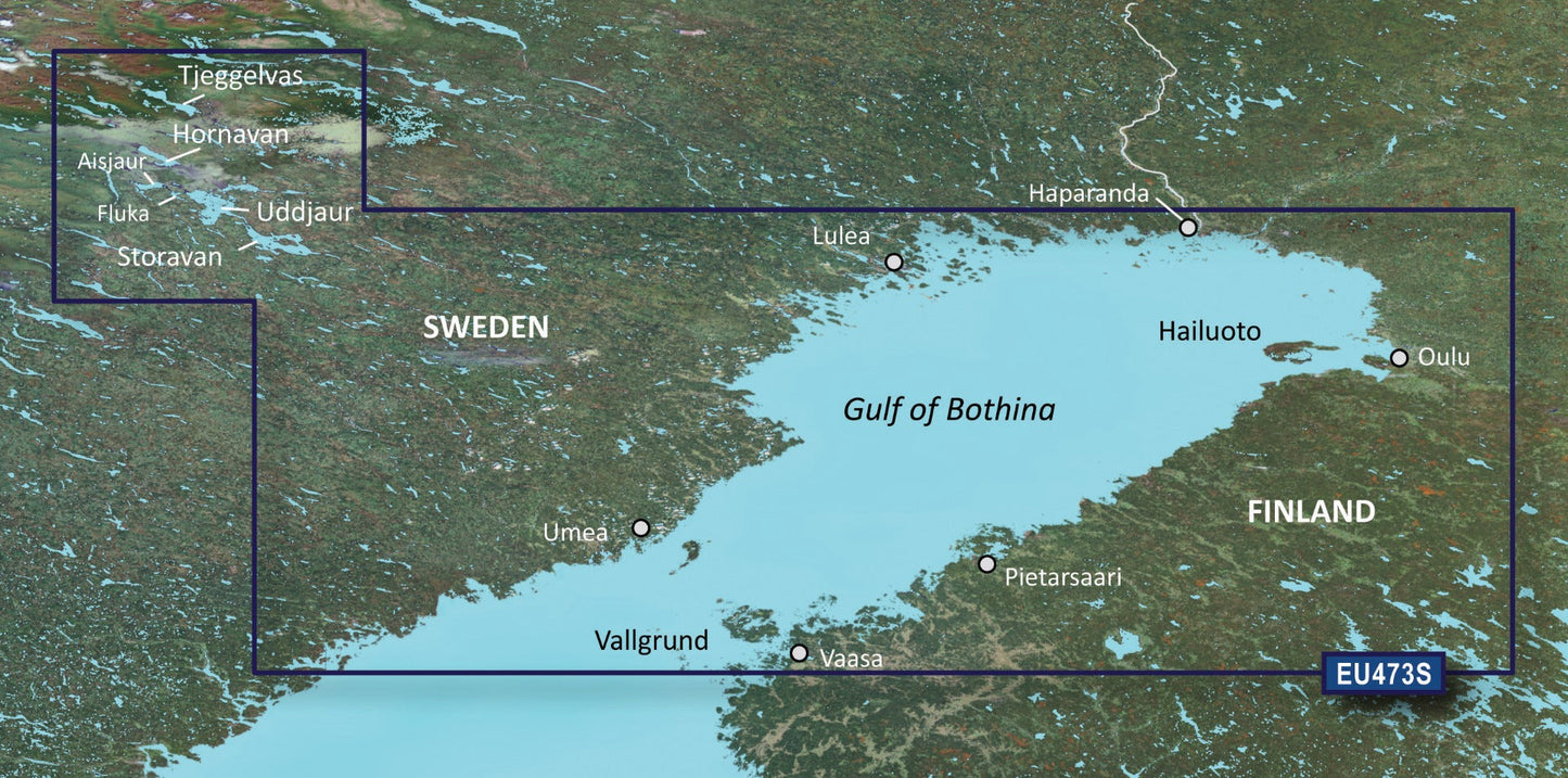
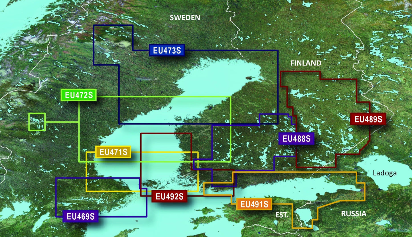
The VEU473S chart card employs industrial-grade microSD architecture engineered for marine environments, housing Garmin's proprietary mapping engine with full thermal and moisture tolerance. The interface prioritizes rapid chart panning, seamless zoom transitions, and rapid data queries even on smaller screens, eliminating the lag common in competitor products. Coverage spans the entire Northern Gulf of Bothnia from Haparanda to Vaasa, capturing Swedish and Finnish waters with consistent survey density.
- Integrated Garmin and Navionics vectorized chart data ensures consistent accuracy and reduces redundant charting
- microSD/SD dual-format architecture fits GPSMAP 8400xsv, echoMAP ULTRA 2, and STRIKER Vivid series without adapter cards
- High-resolution raster satellite base layers refresh annually for current coastal landmark identification
- Durable flash-memory architecture resists temperature fluctuations from Arctic winter to summer boating conditions
- Intuitive depth-shading menus require zero technical experience to configure or modify during navigation
- Comprehensive Gulf of Bothnia coverage including all named waypoint locations, port facilities, and recognized anchorages
Final Verdict
The Garmin VEU473S BlueChart g3 Vision is the only charting solution that delivers 1-foot contour accuracy, Auto Guidance routing, and Navionics integration for Gulf of Bothnia navigation in a single card. Whether you fish the ledges off Pietarsaari or cruise to Haparanda, this chart eliminates planning delays and bottom-strike risks. Add the VEU473S to your compatible Garmin chartplotter today and navigate the Gulf of Bothnia with professional confidence and precision.


