


Garmin North Sea, Alborg to Amsterdam Coastal and Inland Charts BlueChart g3 | HXEU019R | microSD/SD
Garmin North Sea, Alborg to Amsterdam Coastal and Inland Charts BlueChart g3 | HXEU019R | microSD/SD
Model Number: 010-C0776-20
In stock
 WhatsApp
 SMS - Text us!
 Email Us!
 Help Desk

Tech Specs

In The Box
Do you have an old GPS unit lying around? The GPS Nation Trade In and Up program is a great way to trade in your old and used GPS for credit towards a new GPS. The choice is entirely yours! We’ve made the process simple and streamlined. Follow these simple steps, and you will be on your way to receiving credit towards your brand new GPS!
1. Get a quote
To get your free quote, provide your GPS type, manufacturer, model, and condition. Within 24 hours, you will receive a quote for the trade-in value of your current product. The GPS trade-in/trade-up form is at the bottom of this page.
2. Ship your product(s) for trade
After accepting our offer, pack your product(s) safely and ship them to us using the pre-paid shipping label provided to you. We will provide a confirmation email when your trade-in arrives at our warehouse. You have 30 days from the date you complete your on-line trade to ship the product to GPS Nation.
3. Make your purchase
Once we receive your product at our warehouse and we validate the stated condition, we will send you a confirmation email. If you elect to receive credit towards a new GPS at gpsnation.com, your store credit will be issued, and you are free to make your purchase.
Manual & Warranty
 Garmin Warranty
Reviews
Ask a Question
Tech Specs
In The Box
Trade-In
Do you have an old GPS unit lying around? The GPS Nation Trade In and Up program is a great way to trade in your old and used GPS for credit towards a new GPS. The choice is entirely yours! We’ve made the process simple and streamlined. Follow these simple steps, and you will be on your way to receiving credit towards your brand new GPS!
1. Get a quote
To get your free quote, provide your GPS type, manufacturer, model, and condition. Within 24 hours, you will receive a quote for the trade-in value of your current product. The GPS trade-in/trade-up form is at the bottom of this page.
2. Ship your product(s) for trade
After accepting our offer, pack your product(s) safely and ship them to us using the pre-paid shipping label provided to you. We will provide a confirmation email when your trade-in arrives at our warehouse. You have 30 days from the date you complete your on-line trade to ship the product to GPS Nation.
3. Make your purchase
Once we receive your product at our warehouse and we validate the stated condition, we will send you a confirmation email. If you elect to receive credit towards a new GPS at gpsnation.com, your store credit will be issued, and you are free to make your purchase.
Manual & Warranty
Overview
Garmin BlueChart g3 North Sea Charts: Ålborg to Amsterdam MicroSD Card Navigation System
Introduction
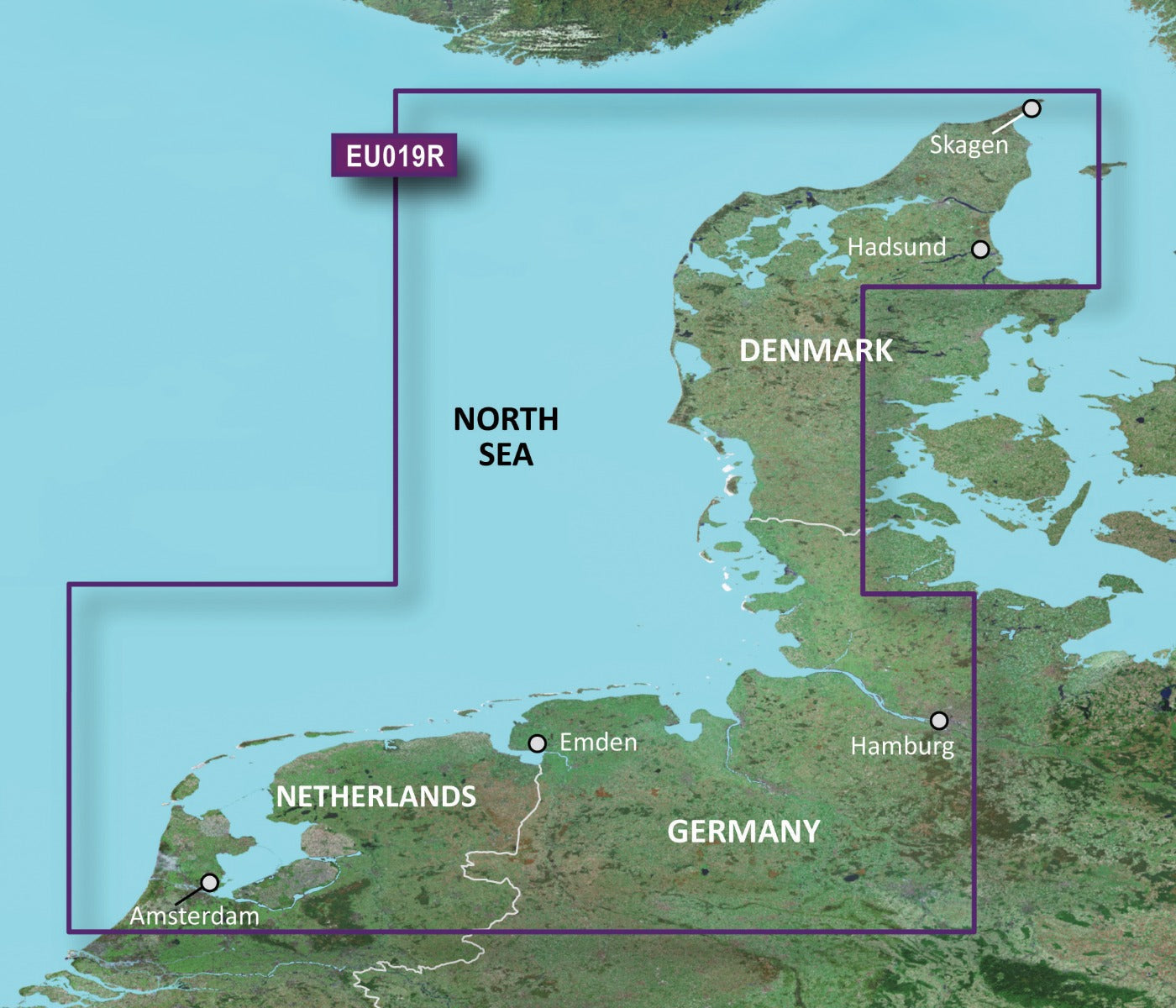
The Garmin BlueChart g3 HXEU019R delivers professional-grade coastal and inland navigation coverage across the North Sea region, from Ålborg Bugt through the critical waterways connecting Denmark, Germany, and the Netherlands to Amsterdam. Built on integrated Garmin and Navionics data, this microSD/SD card system provides the depth of detail and real-time accuracy needed for safe passage through shallow waters, narrow channels, and complex harbor approaches where chart precision directly impacts navigation safety and efficiency.
Key Features
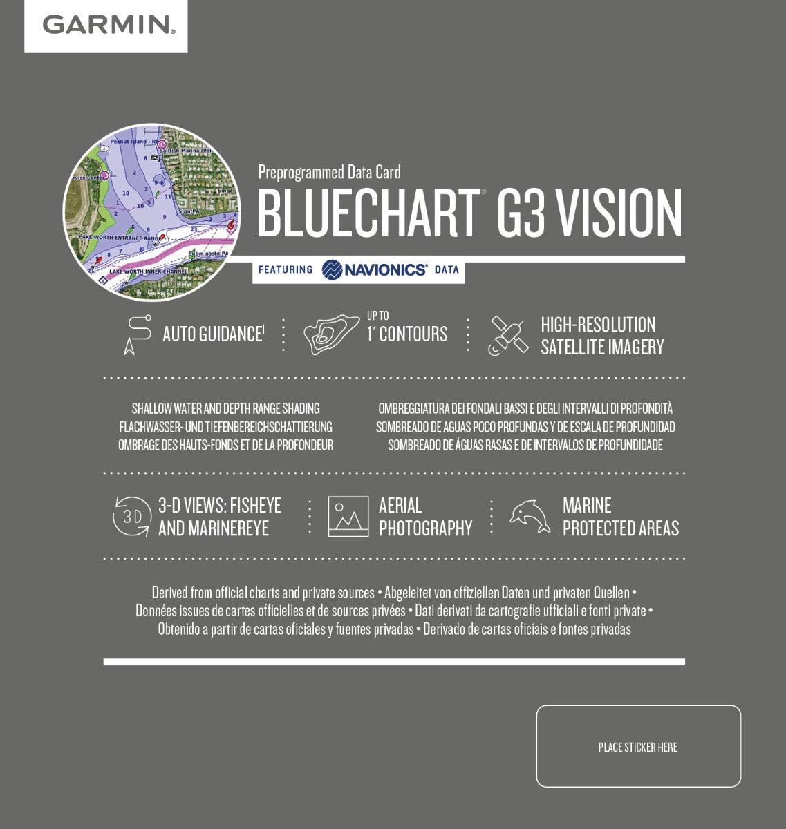
- 90% increase in chart detail and resolution compared to previous BlueChart g2 generation
- High-resolution 1-foot contour intervals for precise bottom structure depiction across shallow and deep water zones
- Up to 10 customizable depth range shading layers to identify hazards and target fishing grounds instantly
- Auto Guidance Technology calculates optimal routes based on vessel draft, overhead clearance requirements, and water depth parameters
- High-resolution satellite imagery overlays for visual reference in unfamiliar harbors and coastal approaches
- Full coverage of Limfjorden, Hamburg approaches, Bremen waterways, and Frisian Island passages with continuous update capability
Data Insights
The BlueChart g3 delivers measurably superior accuracy: the 90% increase in detail over previous generations translates to denser contour mapping, more precise obstacle placement, and clearer distinction between navigable channels and shallow zones. Coverage spans from Ålborg in northern Denmark southward through the Skagerrak approaches, across the major North Sea shipping lanes, and inland through the entire Dutch canal system to Amsterdam—representing approximately 1,200 nautical miles of detailed coastal and river navigation data integrated from both Garmin's hydrographic databases and Navionics' extensive maritime surveys.
Usage Instructions
Insert the microSD/SD card into any compatible Garmin chartplotter or multifunction display. The chart activates immediately upon device recognition; no manual installation required. Access Auto Guidance by entering your destination waypoint and specifying vessel draft and overhead clearance limits. Use depth range shading controls to highlight specific depth zones relevant to your vessel's requirements. Update chart data periodically through Garmin's online chart update service for the latest navigational corrections and seasonal hazard information.
Design & Material
The BlueChart g3 microSD card combines industrial-grade data storage with marine-rated durability. Its compact form factor enables reliable performance in the salt-spray and temperature-variation environments typical of North Sea operations. The system prioritizes intuitive access to critical navigation layers while maintaining compatibility across Garmin's chartplotter ecosystem.
- MicroSD/SD card format with write-protected design prevents accidental data corruption in marine environments
- Preprogrammed hydrographic data eliminates configuration delays and ensures consistent performance across multiple Garmin devices
- Universal compatibility with Garmin GPSMAP, ECHOMAP, and Fantom series chartplotters and integrated marine displays
- Dual-layer Garmin and Navionics content integration provides cross-verified chart accuracy and eliminates gaps in regional coverage
- Satellite imagery rendering optimized for low-light harbor approaches and narrow waterway navigation
- Compact storage design fits standard SD card slots with no external adapters or special mounting hardware required
Final Verdict
For boaters navigating the North Sea's challenging shallow-water zones, narrow approaches, and complex harbor systems, the Garmin BlueChart g3 HXEU019R removes guesswork from route planning and hazard avoidance. The 90% improvement in chart detail over previous generations means you're working with the most current, highest-resolution data available for this critical cruising ground. This is essential equipment, not optional convenience—add it to your chartplotter today and navigate with the confidence that comes from professional-level chart accuracy.


