


Garmin North Sea, Alborg to Amsterdam Coastal and Inland Charts BlueChart g3 Vision | VEU019R | microSD/SD
Garmin North Sea, Alborg to Amsterdam Coastal and Inland Charts BlueChart g3 Vision | VEU019R | microSD/SD
Model Number: 010-C0776-00
In stock
 WhatsApp
 SMS - Text us!
 Email Us!
 Help Desk

Tech Specs

In The Box
Do you have an old GPS unit lying around? The GPS Nation Trade In and Up program is a great way to trade in your old and used GPS for credit towards a new GPS. The choice is entirely yours! We’ve made the process simple and streamlined. Follow these simple steps, and you will be on your way to receiving credit towards your brand new GPS!
1. Get a quote
To get your free quote, provide your GPS type, manufacturer, model, and condition. Within 24 hours, you will receive a quote for the trade-in value of your current product. The GPS trade-in/trade-up form is at the bottom of this page.
2. Ship your product(s) for trade
After accepting our offer, pack your product(s) safely and ship them to us using the pre-paid shipping label provided to you. We will provide a confirmation email when your trade-in arrives at our warehouse. You have 30 days from the date you complete your on-line trade to ship the product to GPS Nation.
3. Make your purchase
Once we receive your product at our warehouse and we validate the stated condition, we will send you a confirmation email. If you elect to receive credit towards a new GPS at gpsnation.com, your store credit will be issued, and you are free to make your purchase.
Manual & Warranty
 Garmin Warranty
Reviews
Ask a Question
Tech Specs
In The Box
Trade-In
Do you have an old GPS unit lying around? The GPS Nation Trade In and Up program is a great way to trade in your old and used GPS for credit towards a new GPS. The choice is entirely yours! We’ve made the process simple and streamlined. Follow these simple steps, and you will be on your way to receiving credit towards your brand new GPS!
1. Get a quote
To get your free quote, provide your GPS type, manufacturer, model, and condition. Within 24 hours, you will receive a quote for the trade-in value of your current product. The GPS trade-in/trade-up form is at the bottom of this page.
2. Ship your product(s) for trade
After accepting our offer, pack your product(s) safely and ship them to us using the pre-paid shipping label provided to you. We will provide a confirmation email when your trade-in arrives at our warehouse. You have 30 days from the date you complete your on-line trade to ship the product to GPS Nation.
3. Make your purchase
Once we receive your product at our warehouse and we validate the stated condition, we will send you a confirmation email. If you elect to receive credit towards a new GPS at gpsnation.com, your store credit will be issued, and you are free to make your purchase.
Manual & Warranty
Overview
Garmin North Sea Alborg to Amsterdam BlueChart g3 Vision Coastal and Inland Navigation Charts
Introduction
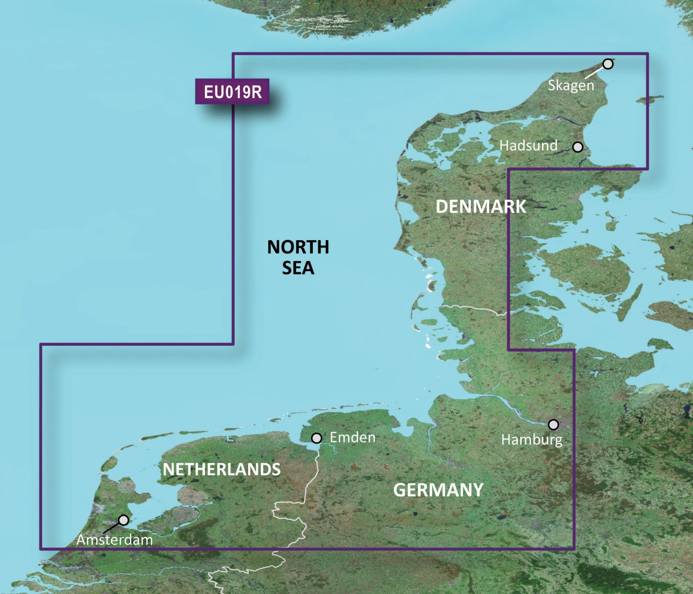
The Garmin BlueChart g3 Vision VEU019R (model 010-C0776-00) delivers detailed coastal and inland navigation coverage across the North Sea region spanning from Alborg, Denmark to Amsterdam, Netherlands. This microSD/SD card chart product provides 30% more detail than previous Garmin chart generations, enabling boaters and commercial fishermen to navigate shallow waters, complex coastlines, and busy shipping lanes with significantly improved situational awareness and route optimization capabilities.
Key Features
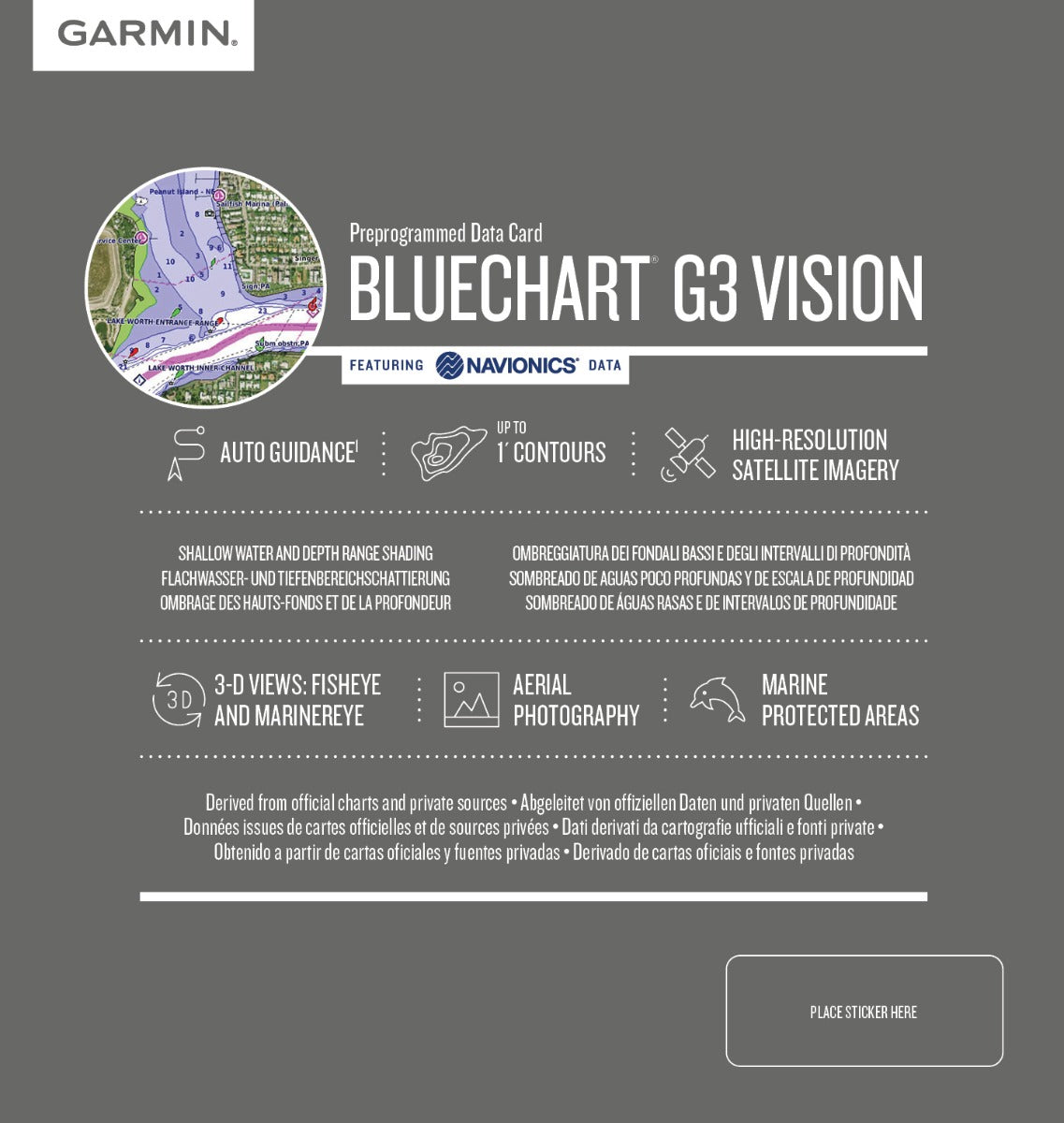
- 10 distinct depth range shading categories for visual water depth classification and hazard identification
- Bottom contours mapped to 1-foot precision for accurate depiction of underwater structures and navigation obstacles
- Auto Guidance Technology calculates optimal routes based on your vessel's specific draft and clearance requirements
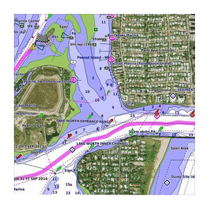
- High-resolution satellite imagery combined with detailed aerial photography of major ports, harbors, and coastal landmarks
- Customizable shallow water shading alerts at user-defined depth thresholds to prevent grounding
- FishEye and MarinerEye 3-D perspective views provide comprehensive underwater topography and surface-level navigation perspectives
Data Insights
The BlueChart g3 Vision enhances navigational precision through integrated Garmin and Navionics content, delivering substantially more cartographic detail than earlier chart editions. The 10-level depth range shading system enables faster hazard recognition, while the 1-foot contour resolution provides the underwater accuracy necessary for safe navigation through narrow channels, tidal flats, and harbor approaches common throughout North Sea waters. Combined with FishEye View technology, mariners gain significantly improved awareness of bottom structure and potential navigation conflicts.
Usage Instructions
Insert the microSD/SD card directly into your compatible Garmin marine chartplotter, fishfinder, or integrated navigation system. Enable Auto Guidance Technology within your device menu and input your vessel's draft and air clearance specifications to receive optimized route suggestions. Utilize depth range shading by adjusting the visualization categories to match local water conditions, and regularly reference aerial photography when approaching unfamiliar ports or navigating crowded coastal areas. Update your charts through Garmin's official software when new editions become available to maintain current bathymetric and navigational data.
Design and Material
The microSD/SD card format ensures universal compatibility with Garmin's marine product line while maintaining reliable long-term data storage. The chart design prioritizes intuitive access to critical navigation information through layered visualization options that prevent information overload while delivering depth, contour, and hazard data precisely when needed.
- Durable microSD/SD card construction withstands marine environments and maintains data integrity across extended use periods
- Seamless plug-and-play integration with all modern Garmin chartplotters and fish finders without requiring external adapters
- High-resolution relief shading rapidly identifies underwater banks, ridges, and structural features critical for fishing and safe navigation
- Integrated Garmin and Navionics content ensures comprehensive coverage of coastal transitions, inland waterways, and complex estuarine systems
- Detailed aerial photography of major North Sea harbors including ports at Alborg, Hamburg, Emden, and Amsterdam enhances confidence when entering unfamiliar anchorages
- Precise coastal outline mapping with updated navigation marker placement reflects current channel configurations and floating aid positions
Final Verdict
Whether you operate a commercial fishing vessel, recreational sailboat, or cruising powerboat in North Sea waters, the Garmin BlueChart g3 Vision VEU019R provides the navigational precision and detailed coverage required for safe, efficient passage. The combination of 1-foot contours, 10-level depth shading, Auto Guidance Technology, and aerial harbor photography addresses the specific navigation challenges posed by shallow-draft passages, narrow channels, and congested shipping zones throughout this region. Upgrade your navigation system with this comprehensive chart product and eliminate guesswork from your next journey through North Sea waters.


