


Garmin Philippines, Java and Mariana Islands Charts BlueChart g3 Vision | VAE005R | microSD/SD
Garmin Philippines, Java and Mariana Islands Charts BlueChart g3 Vision | VAE005R | microSD/SD
Model Number: 010-C0880-00
In stock
 WhatsApp
 SMS - Text us!
 Email Us!
 Help Desk

Tech Specs

In The Box
Do you have an old GPS unit lying around? The GPS Nation Trade In and Up program is a great way to trade in your old and used GPS for credit towards a new GPS. The choice is entirely yours! We’ve made the process simple and streamlined. Follow these simple steps, and you will be on your way to receiving credit towards your brand new GPS!
1. Get a quote
To get your free quote, provide your GPS type, manufacturer, model, and condition. Within 24 hours, you will receive a quote for the trade-in value of your current product. The GPS trade-in/trade-up form is at the bottom of this page.
2. Ship your product(s) for trade
After accepting our offer, pack your product(s) safely and ship them to us using the pre-paid shipping label provided to you. We will provide a confirmation email when your trade-in arrives at our warehouse. You have 30 days from the date you complete your on-line trade to ship the product to GPS Nation.
3. Make your purchase
Once we receive your product at our warehouse and we validate the stated condition, we will send you a confirmation email. If you elect to receive credit towards a new GPS at gpsnation.com, your store credit will be issued, and you are free to make your purchase.
Manual & Warranty
 Garmin Warranty
Reviews
Ask a Question
Tech Specs
In The Box
Trade-In
Do you have an old GPS unit lying around? The GPS Nation Trade In and Up program is a great way to trade in your old and used GPS for credit towards a new GPS. The choice is entirely yours! We’ve made the process simple and streamlined. Follow these simple steps, and you will be on your way to receiving credit towards your brand new GPS!
1. Get a quote
To get your free quote, provide your GPS type, manufacturer, model, and condition. Within 24 hours, you will receive a quote for the trade-in value of your current product. The GPS trade-in/trade-up form is at the bottom of this page.
2. Ship your product(s) for trade
After accepting our offer, pack your product(s) safely and ship them to us using the pre-paid shipping label provided to you. We will provide a confirmation email when your trade-in arrives at our warehouse. You have 30 days from the date you complete your on-line trade to ship the product to GPS Nation.
3. Make your purchase
Once we receive your product at our warehouse and we validate the stated condition, we will send you a confirmation email. If you elect to receive credit towards a new GPS at gpsnation.com, your store credit will be issued, and you are free to make your purchase.
Manual & Warranty
Overview
Garmin BlueChart g3 Vision Philippines, Java, and Mariana Islands Charts (VAE005R)
Introduction
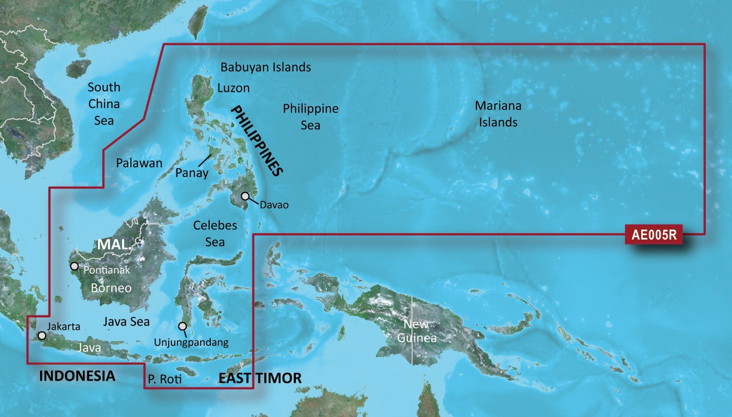
The Garmin BlueChart g3 Vision VAE005R delivers high-resolution navigational charting across a critical maritime region spanning the Philippines, Java, and Mariana Islands. This microSD/SD card integrates detailed satellite imagery with official hydrographic data to create a realistic, comprehensive charting solution for commercial and recreational mariners operating throughout Southeast Asia and the Western Pacific.
Key Features
- Up to 10 simultaneous depth range shading layers for enhanced underwater visibility and safe passage planning
- 1-foot contour mapping for precise representation of underwater structures and bottom composition
- Auto Guidance technology that calculates optimal routes based on your vessel's beam, draft, and length specifications
- Spot soundings, depth contours, tide stations, and current flow data throughout the covered region
- Shallow water shading with customizable depth thresholds for navigating protected anchorages and coastal passages
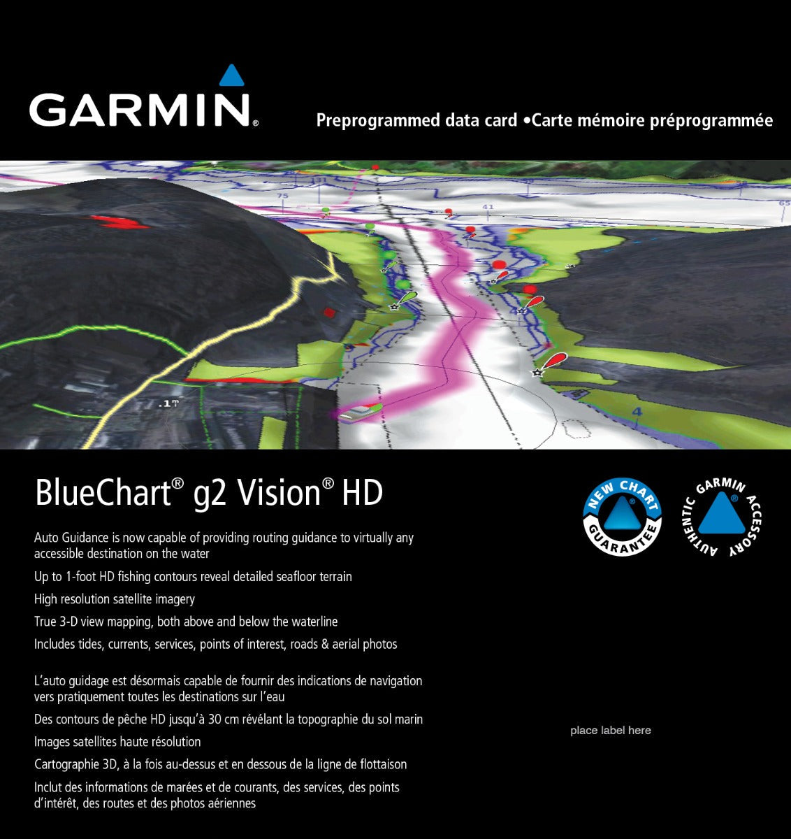
- MarinerEye and FishEye 3D perspective views for contextual navigation and situational awareness
Data Insights
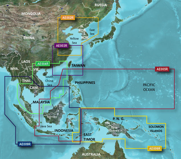
BlueChart g3 Vision integration combines real-world satellite imagery with official charting data, creating the most detailed navigational picture available for the region. Coverage extends across major commercial corridors including Manila Bay, the Celebes Sea, and the waters surrounding Borneo and East Timor, with high-resolution detail suitable for both deep-water passages and intricate reef navigation. The New Chart Guarantee program ensures chart data remains current as maritime features, navigational aids, and port infrastructure are updated.
Usage Instructions
Insert the microSD/SD card into your compatible Garmin marine GPS chartplotter or multifunction display. The card installs using standard plug-and-play compatibility without requiring additional software installation. Activate Auto Guidance within your device settings and input your vessel's dimensions for route suggestions optimized to your boat's specific requirements. Reference the built-in tide, current, and depth data while planning passages, and configure shallow water shading depth thresholds according to your draft and navigation preferences.
Design and Material
Engineered for marine environments, the VAE005R chart card arrives preloaded and ready for immediate deployment. The card's compact microSD/SD format provides secure data storage and ensures compatibility with Garmin's full range of marine navigation equipment. The data structure prioritizes fast rendering and smooth panning across high-detail chart areas.
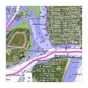
- High-resolution satellite base layer showing actual port infrastructure, marina layouts, and coastal landmarks
- Comprehensive vector charting of the Philippines, Java Sea, Celebes Sea, and Mariana Islands region
- Marine-grade microSD/SD card construction resistant to salt spray and moisture exposure
- Integrated depth and bottom-type data across fishing grounds and commercial shipping lanes
- Dynamic routing and depth shading customizable to individual vessel specifications
- Regular chart updates delivered through Garmin's New Chart Guarantee subscription program
Final Verdict
The Garmin BlueChart g3 Vision VAE005R is essential navigation infrastructure for any vessel operating throughout the Philippines, Java, and Western Pacific waters. Whether you are conducting commercial fishing operations, cruising protected anchorages, or transiting busy shipping corridors, this chart card provides the detailed, current bathymetric and geographic data required for confident decision-making. Secure the VAE005R for your Garmin system today and navigate these complex waters with precision and confidence.


