


Garmin Singapore, Malaysia and Indonesia Charts BlueChart g3 Vision | VAE009R | microSD/SD
Garmin Singapore, Malaysia and Indonesia Charts BlueChart g3 Vision | VAE009R | microSD/SD
Model Number: 010-C0884-00
In stock
 WhatsApp
 SMS - Text us!
 Email Us!
 Help Desk

Tech Specs

In The Box
Do you have an old GPS unit lying around? The GPS Nation Trade In and Up program is a great way to trade in your old and used GPS for credit towards a new GPS. The choice is entirely yours! We’ve made the process simple and streamlined. Follow these simple steps, and you will be on your way to receiving credit towards your brand new GPS!
1. Get a quote
To get your free quote, provide your GPS type, manufacturer, model, and condition. Within 24 hours, you will receive a quote for the trade-in value of your current product. The GPS trade-in/trade-up form is at the bottom of this page.
2. Ship your product(s) for trade
After accepting our offer, pack your product(s) safely and ship them to us using the pre-paid shipping label provided to you. We will provide a confirmation email when your trade-in arrives at our warehouse. You have 30 days from the date you complete your on-line trade to ship the product to GPS Nation.
3. Make your purchase
Once we receive your product at our warehouse and we validate the stated condition, we will send you a confirmation email. If you elect to receive credit towards a new GPS at gpsnation.com, your store credit will be issued, and you are free to make your purchase.
Manual & Warranty
 Garmin Warranty
Reviews
Ask a Question
Tech Specs
In The Box
Trade-In
Do you have an old GPS unit lying around? The GPS Nation Trade In and Up program is a great way to trade in your old and used GPS for credit towards a new GPS. The choice is entirely yours! We’ve made the process simple and streamlined. Follow these simple steps, and you will be on your way to receiving credit towards your brand new GPS!
1. Get a quote
To get your free quote, provide your GPS type, manufacturer, model, and condition. Within 24 hours, you will receive a quote for the trade-in value of your current product. The GPS trade-in/trade-up form is at the bottom of this page.
2. Ship your product(s) for trade
After accepting our offer, pack your product(s) safely and ship them to us using the pre-paid shipping label provided to you. We will provide a confirmation email when your trade-in arrives at our warehouse. You have 30 days from the date you complete your on-line trade to ship the product to GPS Nation.
3. Make your purchase
Once we receive your product at our warehouse and we validate the stated condition, we will send you a confirmation email. If you elect to receive credit towards a new GPS at gpsnation.com, your store credit will be issued, and you are free to make your purchase.
Manual & Warranty
Overview
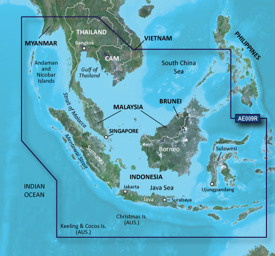
Garmin BlueChart g3 Vision VAE009R Charts for Singapore, Malaysia, and Indonesia
Introduction
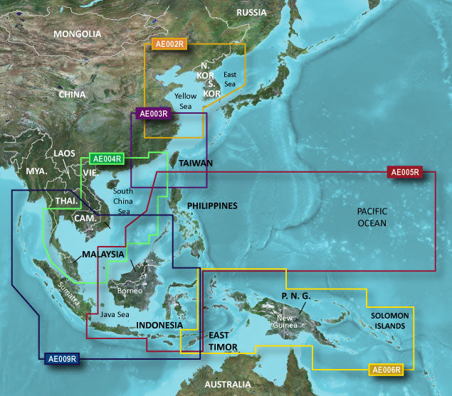
The Garmin BlueChart g3 Vision VAE009R delivers high-resolution nautical charts specifically engineered for Southeast Asian waters, covering Singapore, Malaysia, and Indonesia with data sourced from official marine surveys and validated private sources. This microSD/SD card-based chart system provides the navigational accuracy and underwater detail required for safe passage through some of the world's most complex maritime environments, offering boaters and mariners a 30% increase in navigational accuracy compared to earlier chart versions.
Key Features
- 1-foot depth contours providing high-definition mapping of underwater structures and hazards across all covered regions
- Depth Range Shading with up to 10 customizable depth bands for visual identification of shallow water zones and navigation corridors
- Garmin Auto Guidance Technology automatically calculates optimal routes based on your vessel's beam, draft, and length specifications
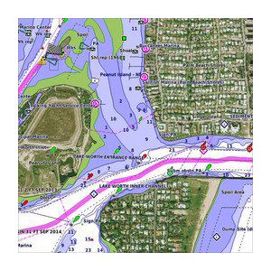
- High-resolution satellite imagery integrated into chart displays for landmark and port identification within 1-meter positional accuracy
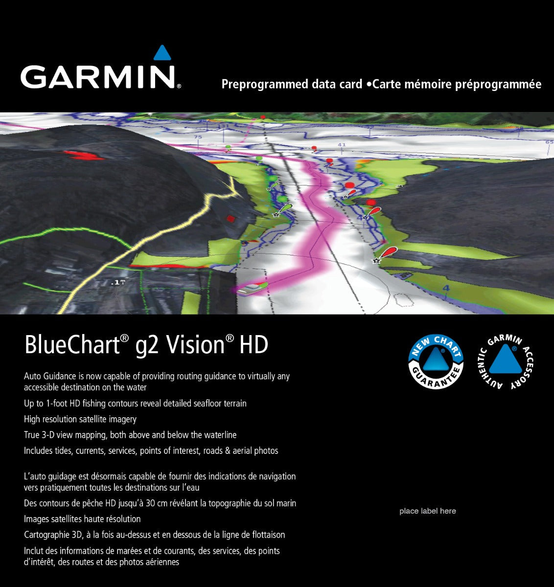
- MarinerEye 3D perspective views rendering ports, coastal features, and navigationally significant structures from multiple viewing angles
- FishEye technology offering ultra-wide field viewing for spatial orientation and hazard recognition in complex waterways
- Shallow Water Shading with user-definable depth thresholds to highlight areas requiring caution
Data Insights
Chart accuracy is critical in the waters covered by this product, which feature numerous shallow banks, uncharted hazards, and traffic-dense straits. The VAE009R incorporates 1-foot contour bathymetric data and satellite-verified spot soundings, delivering navigational precision significantly superior to paper charts or older digital versions. The integration of official survey data ensures that structural changes, dredging information, and newly discovered hazards are reflected in the chart, reducing navigation risk in areas where water depth fluctuations and underwater obstacles are common.
Usage Instructions
Insert the microSD/SD card into your compatible Garmin chartplotter, autopilot, or marine GPS unit. The device will recognize and load the chart data automatically. Access chart updates through Garmin's online system by connecting your device to a computer or mobile application. Before departing, verify that chart data displays correctly at your departure point and pre-plan routes using Auto Guidance to confirm recommended pathways align with your vessel's specifications and operational requirements.
Design & Material
The BlueChart g3 Vision VAE009R is engineered with clarity and durability as core design principles. The microSD/SD card format provides compact, weather-resistant data storage that integrates seamlessly into existing Garmin marine electronics without requiring additional hardware. Chart display layouts prioritize legibility in variable lighting conditions and at different zoom levels, ensuring critical navigational information remains visible whether you're planning routes at the helm or reviewing detailed underwater topology during approach.
- Weather-resistant microSD/SD card construction rated for marine environments with salt spray and humidity exposure
- Intuitive color-coded depth shading system for rapid visual assessment of underwater conditions
- Multiple zoom levels maintaining data clarity from overview planning to detailed harbor navigation
- Compact card format for easy storage aboard vessels with limited electronic equipment space
- Professional-grade cartography based on official hydrographic survey data from regional maritime authorities
- Cross-compatibility with current and legacy Garmin chartplotters, ensuring usability across different vessel systems
Final Verdict
For mariners operating in Singapore, Malaysian, and Indonesian waters, the Garmin BlueChart g3 Vision VAE009R eliminates guesswork from route planning and hazard avoidance. The combination of 1-foot contour precision, Auto Guidance routing, and high-resolution satellite imagery directly reduces navigation risk and improves confidence when transiting congested straits, shallow banks, and reef-studded passages. If your operations depend on accurate underwater structure data and reliable auto-routing in this region, this chart card is an operational necessity, not an optional upgrade. Deploy it today to transform real-time navigational decisions with data that reflects the actual underwater and surface conditions you'll encounter.


