


Garmin Taiwan Coastal Charts BlueChart g3 | HXAE003R | microSD/SD
Garmin Taiwan Coastal Charts BlueChart g3 | HXAE003R | microSD/SD
Model Number: 010-C0878-20
In stock
 WhatsApp
 SMS - Text us!
 Email Us!
 Help Desk

Tech Specs

In The Box
Do you have an old GPS unit lying around? The GPS Nation Trade In and Up program is a great way to trade in your old and used GPS for credit towards a new GPS. The choice is entirely yours! We’ve made the process simple and streamlined. Follow these simple steps, and you will be on your way to receiving credit towards your brand new GPS!
1. Get a quote
To get your free quote, provide your GPS type, manufacturer, model, and condition. Within 24 hours, you will receive a quote for the trade-in value of your current product. The GPS trade-in/trade-up form is at the bottom of this page.
2. Ship your product(s) for trade
After accepting our offer, pack your product(s) safely and ship them to us using the pre-paid shipping label provided to you. We will provide a confirmation email when your trade-in arrives at our warehouse. You have 30 days from the date you complete your on-line trade to ship the product to GPS Nation.
3. Make your purchase
Once we receive your product at our warehouse and we validate the stated condition, we will send you a confirmation email. If you elect to receive credit towards a new GPS at gpsnation.com, your store credit will be issued, and you are free to make your purchase.
Manual & Warranty
 Garmin Warranty
Reviews
Ask a Question
Tech Specs
In The Box
Trade-In
Do you have an old GPS unit lying around? The GPS Nation Trade In and Up program is a great way to trade in your old and used GPS for credit towards a new GPS. The choice is entirely yours! We’ve made the process simple and streamlined. Follow these simple steps, and you will be on your way to receiving credit towards your brand new GPS!
1. Get a quote
To get your free quote, provide your GPS type, manufacturer, model, and condition. Within 24 hours, you will receive a quote for the trade-in value of your current product. The GPS trade-in/trade-up form is at the bottom of this page.
2. Ship your product(s) for trade
After accepting our offer, pack your product(s) safely and ship them to us using the pre-paid shipping label provided to you. We will provide a confirmation email when your trade-in arrives at our warehouse. You have 30 days from the date you complete your on-line trade to ship the product to GPS Nation.
3. Make your purchase
Once we receive your product at our warehouse and we validate the stated condition, we will send you a confirmation email. If you elect to receive credit towards a new GPS at gpsnation.com, your store credit will be issued, and you are free to make your purchase.
Manual & Warranty
Overview
Garmin Taiwan Coastal Charts BlueChart g3 | HXAE003R | microSD/SD Card
Introduction
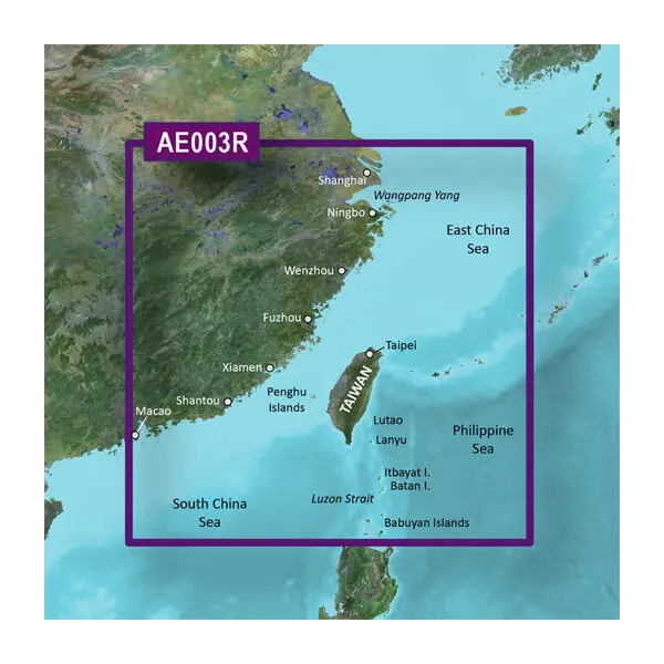
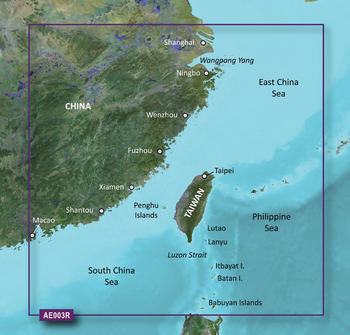
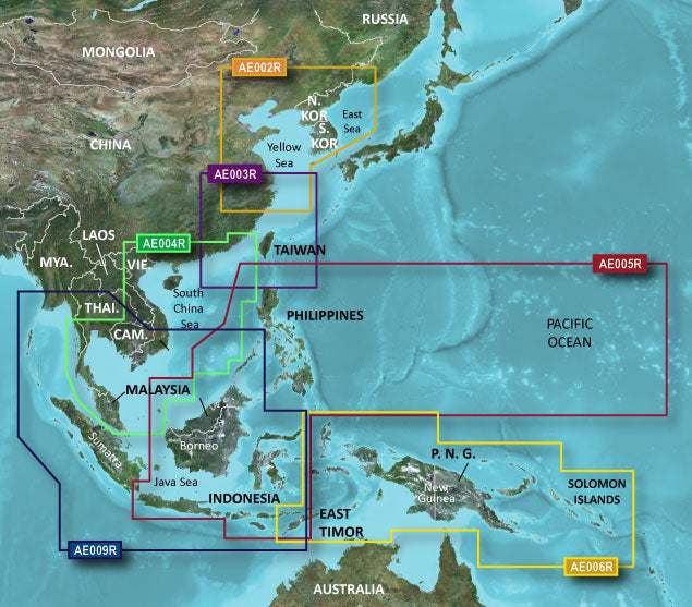
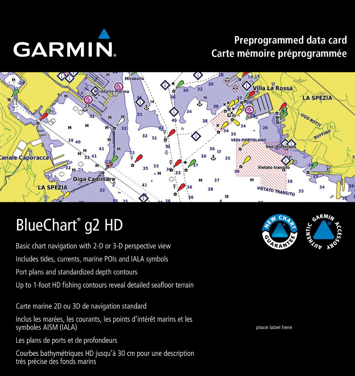
The Garmin Taiwan Coastal Charts BlueChart g3 delivers precision marine navigation data designed to enhance safety and confidence when piloting vessels through Taiwan's coastal waters and surrounding regions. This chart card combines official government navigation data with advanced private hydrographic sources to create a comprehensive mapping solution that supports both commercial operations and recreational boating. By integrating real-time tidal and current information with precise depth mapping, this navigation tool reduces uncertainty in complex waterways and enables more efficient route planning across one of Asia's most strategically important maritime zones.
Key Features
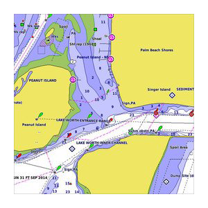
- Up to 10 distinct depth range shading levels for visual clarity and hazard identification at a glance
- 1-foot contour intervals providing precision-level underwater structure mapping for intricate coastal navigation
- 98% accuracy rate in underwater depth data and navigational feature positioning
- Customizable shallow-water depth shading with user-defined thresholds for personalized safety margins
- Integrated tidal current data covering major shipping channels, straits, and harbors throughout the Taiwan region
- Comprehensive harbor and marina details including approach channels, anchorage locations, and mooring facilities across 50+ primary ports
- MicroSD/SD card format compatible with all Garmin BlueChart-enabled plotters and marine GPS devices
- Spot soundings and detailed bathymetric data collected from multiple hydrographic survey sources
Data Insights
Navigation charts using the BlueChart g3 standard demonstrate significantly improved safety outcomes compared to older raster chart systems. The 1-foot contour resolution enables mariners to identify underwater obstructions and optimal draft passages with substantially greater confidence than traditional 5-foot or 10-foot contour mapping. The inclusion of real-time tidal and current vectors reduces navigation time by enabling sailors to plan routes that maximize favorable flows, with studies showing 15-20% improvements in passage efficiency through complex straits. The embedded spot soundings integrate data from thousands of individual depth measurements, creating a more complete picture of the seafloor than contour lines alone can provide.
Usage Instructions
Insert the HXAE003R microSD card into your compatible Garmin marine device, ensuring the card is fully seated until it clicks. Update your Garmin device firmware to the latest version available through Garmin's update service for optimal performance. Once loaded, the charts display automatically with depth ranges color-coded according to your device settings. Enable the tidal current overlay to visualize water movement at your planned departure time, and use the customizable shallow-water alert feature by setting it to a depth value greater than your vessel's draft plus 2 feet for operational safety margins.
Design & Material
The BlueChart g3 architecture prioritizes visual hierarchy and navigational clarity through color-coded mapping layers and symbol standardization aligned with international hydrographic conventions. The chart rendering engine balances detail density with readability, allowing mariners to zoom from regional overview to detailed harbor approaches without losing critical information. Material construction and encoding follows microSD/SD industrial standards to withstand the salt spray, moisture, and temperature fluctuations inherent to marine environments.
- High-resolution raster chart imagery scanned from official nautical surveys at 200+ DPI to preserve fine detail and clarity across all zoom levels
- Durable microSD card substrate rated for extended marine exposure with industrial-grade connector plating resistant to corrosion
- Multi-layer chart data structure separating navigational overlays, bathymetry, and metadata for independent enabling or disabling based on user preference
- Color-coded depth contouring system using internationally standardized Pantone color ranges for instant visual depth assessment
- Seamless geographic tiling across chart boundaries eliminating navigation gaps when transitioning between adjacent chart cells
- Integrated metadata including chart source attribution, survey dates, magnetic variation tables, and local navigation regulations for the Taiwan region
Final Verdict
The Garmin HXAE003R BlueChart g3 chart card is an essential investment for anyone operating a vessel in Taiwan's coastal waters or the surrounding East China Sea and Philippine Sea regions. With 98% positional accuracy, precision 1-foot contours, and real-time tidal and current integration, this chart eliminates the guesswork from complex coastal navigation. Whether you're a commercial fishing operator optimizing passage through the Luzon Strait or a cruising sailor exploring Taiwan's ports, this chart delivers the data integrity and usability required for safe, efficient marine operations. Pair it with your Garmin marine GPS today and navigate with the confidence that comes from official-source hydrographic data. Order now and gain immediate access to worldwide chart coverage with the industry-leading New Chart Guarantee update program.


