


Garmin GPSMAP 66st Multisatellite Handheld w/ Sensors and TOPO Maps (010-01918-10)
Garmin GPSMAP 66st Multisatellite Handheld w/ Sensors and TOPO Maps (010-01918-10)
Model Number: 010-01918-10
Out of stock

 WhatsApp
 SMS - Text us!
 Email Us!
 Help Desk

Tech Specs

In The Box
- GPSMAP 66st
- Access to Birdseye Satellite Imagery
- USB cable
- Carabiner clip
- Documentation
Manual & Warranty
 Garmin Warranty
Do you have an old GPS unit lying around? The GPS Nation Trade In and Up program is a great way to trade in your old and used GPS for credit towards a new GPS. The choice is entirely yours! We’ve made the process simple and streamlined. Follow these simple steps, and you will be on your way to receiving credit towards your brand new GPS!
1. Get a quote
To get your free quote, provide your GPS type, manufacturer, model, and condition. Within 24 hours, you will receive a quote for the trade-in value of your current product. The GPS trade-in/trade-up form is at the bottom of this page.
2. Ship your product(s) for trade
After accepting our offer, pack your product(s) safely and ship them to us using the pre-paid shipping label provided to you. We will provide a confirmation email when your trade-in arrives at our warehouse. You have 30 days from the date you complete your on-line trade to ship the product to GPS Nation.
3. Make your purchase
Once we receive your product at our warehouse and we validate the stated condition, we will send you a confirmation email. If you elect to receive credit towards a new GPS at gpsnation.com, your store credit will be issued, and you are free to make your purchase.
Reviews
Ask a Question
Tech Specs
In The Box
- GPSMAP 66st
- Access to Birdseye Satellite Imagery
- USB cable
- Carabiner clip
- Documentation
Manual & Warranty
Trade-In
Do you have an old GPS unit lying around? The GPS Nation Trade In and Up program is a great way to trade in your old and used GPS for credit towards a new GPS. The choice is entirely yours! We’ve made the process simple and streamlined. Follow these simple steps, and you will be on your way to receiving credit towards your brand new GPS!
1. Get a quote
To get your free quote, provide your GPS type, manufacturer, model, and condition. Within 24 hours, you will receive a quote for the trade-in value of your current product. The GPS trade-in/trade-up form is at the bottom of this page.
2. Ship your product(s) for trade
After accepting our offer, pack your product(s) safely and ship them to us using the pre-paid shipping label provided to you. We will provide a confirmation email when your trade-in arrives at our warehouse. You have 30 days from the date you complete your on-line trade to ship the product to GPS Nation.
3. Make your purchase
Once we receive your product at our warehouse and we validate the stated condition, we will send you a confirmation email. If you elect to receive credit towards a new GPS at gpsnation.com, your store credit will be issued, and you are free to make your purchase.
Overview
Garmin GPSMAP 66st Multisatellite Handheld GPS Navigator with Sensors and Preloaded TOPO Maps
Introduction
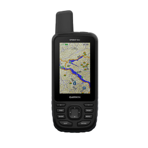
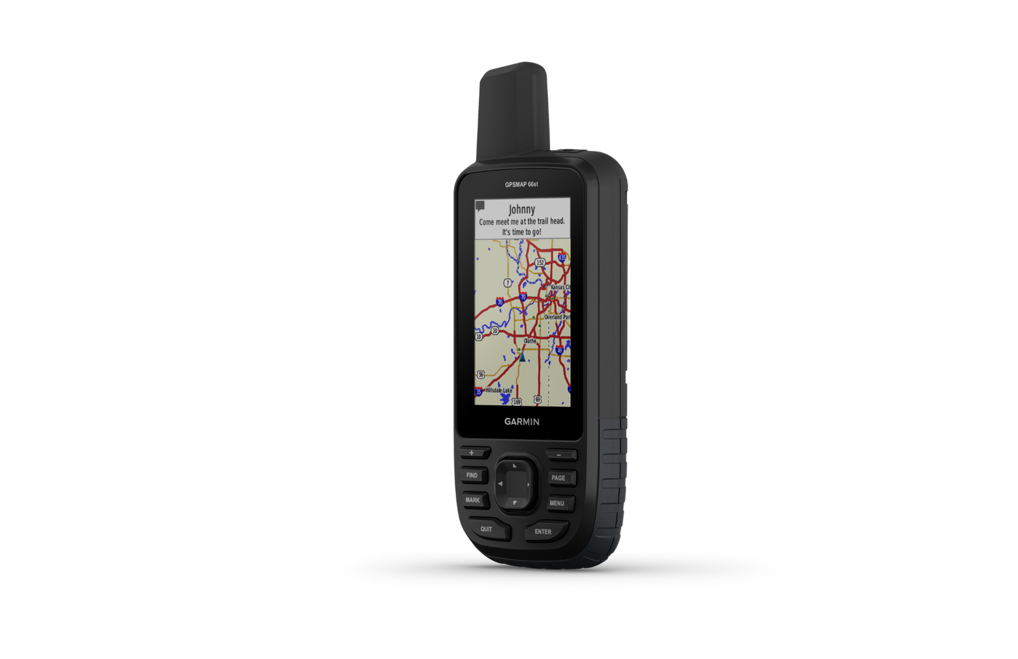
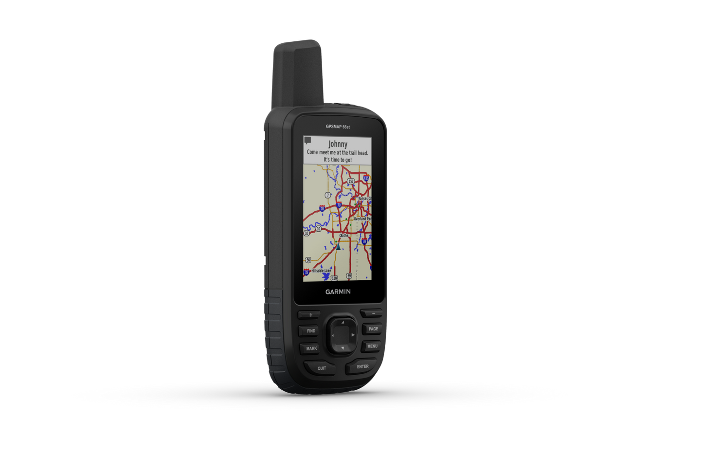
The Garmin GPSMAP 66st delivers multiband satellite tracking and integrated environmental sensors in a compact handheld designed for backcountry navigation where reliability outweighs luxury. Unlike single-frequency GPS units that struggle in dense canopy or canyon country, the GPSMAP 66st's multi-GNSS receiver locks onto GPS, GLONASS, and Galileo satellites simultaneously, reducing acquisition time and maintaining signal lock in challenging terrain. Built to military standards for thermal shock and water immersion, this device operates with equal competence whether you're navigating slot canyons in the Southwest, dense forest in the Pacific Northwest, or alpine terrain above treeline.
Key Features
- 3-inch color display with high brightness for readable sunlight visibility without screen reflection
- Multi-GNSS satellite support enabling up to 10-meter accuracy improvement over single-frequency receivers
- Preloaded TOPO maps covering the entire United States and Canada with contour intervals and terrain detail
- BirdsEye Satellite Imagery access included without subscription fees for realistic landscape context
- Integrated ABC sensors: electronic barometer for altimetry and weather prediction, 3-axis electronic compass independent of movement, and altimeter for elevation tracking
- Smartphone connectivity for real-time weather updates, predictive radar maps, and active condition alerts
- 16-hour battery life in standard GPS mode or 7-day duration in expedition mode using two AA batteries
- Military-standard construction rated for thermal extremes, impact resistance, and IPX7 waterproofing
Data Insights
The multiband satellite architecture delivers measurable performance gains: multi-GNSS receivers achieve position accuracy within 10 meters across 95 percent of global terrain, outperforming legacy single-frequency units by 5 to 7 meters in obstructed environments. Battery endurance reaches 16 hours in continuous GPS mode or extends to 7 days when operating in low-power expedition mode—a critical distinction for extended backcountry missions where resupply or recharge isn't feasible. The integrated barometric altimeter provides elevation data independent of GPS signal, essential in deep canyons or forested areas where satellite acquisition is sporadic, while the three-axis compass maintains bearing accuracy even when the device is held flat or in low-light navigation scenarios.
Usage Instructions
Power on the GPSMAP 66st and allow 30 to 60 seconds for initial satellite acquisition before leaving populated areas. Activate the preloaded TOPO maps to preview terrain contours, water sources, and ridge lines along your intended route. Sync waypoints and planned tracks via the Garmin Explore app for offline reference. Enable the weather alerts before departing, and check the barometer reading during your journey to anticipate pressure changes that signal incoming storms. The electronic compass function operates without GPS signal, making it useful for precise bearing navigation at camp or in dense vegetation where satellites are intermittently available.
Design & Material
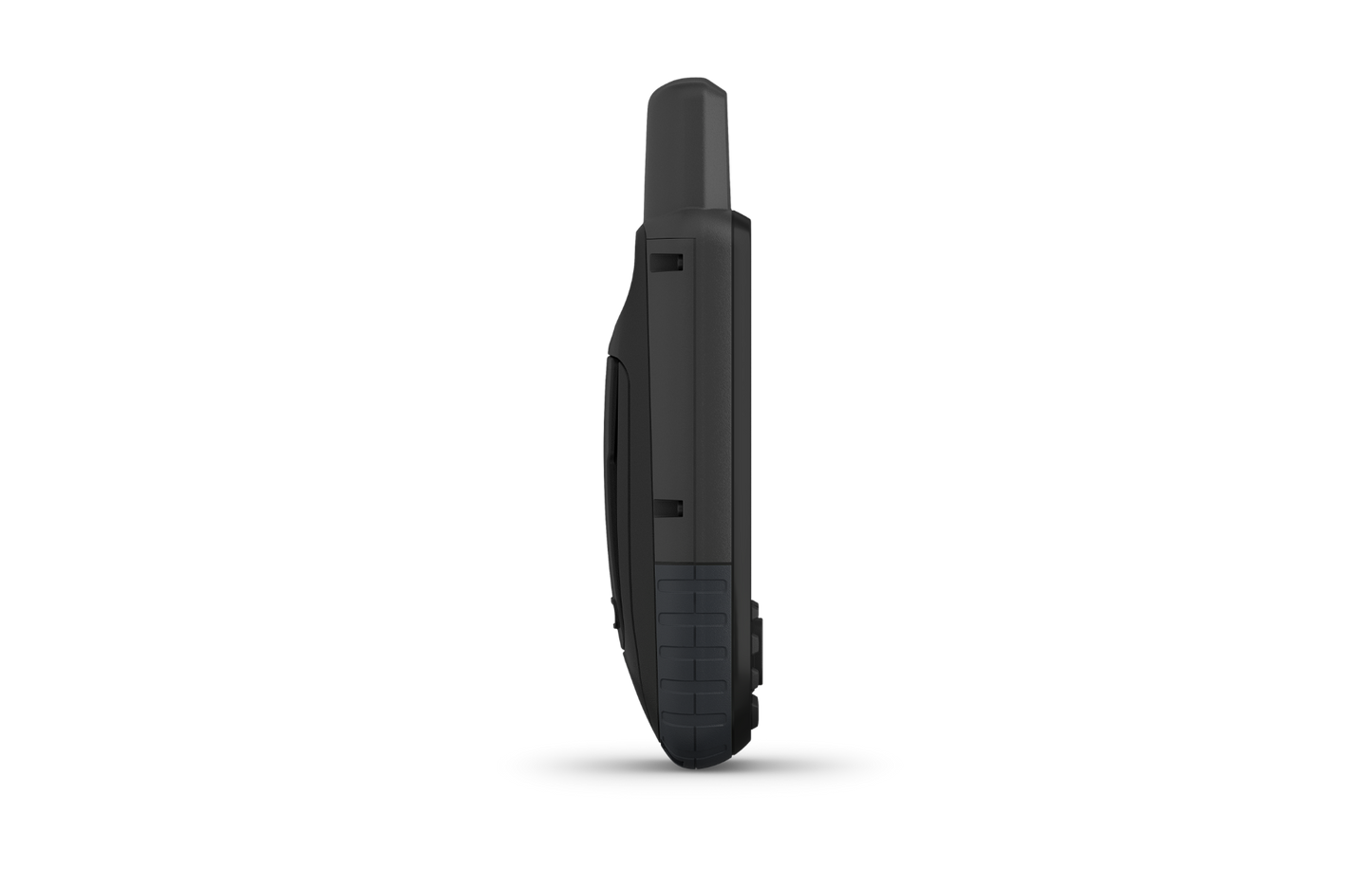
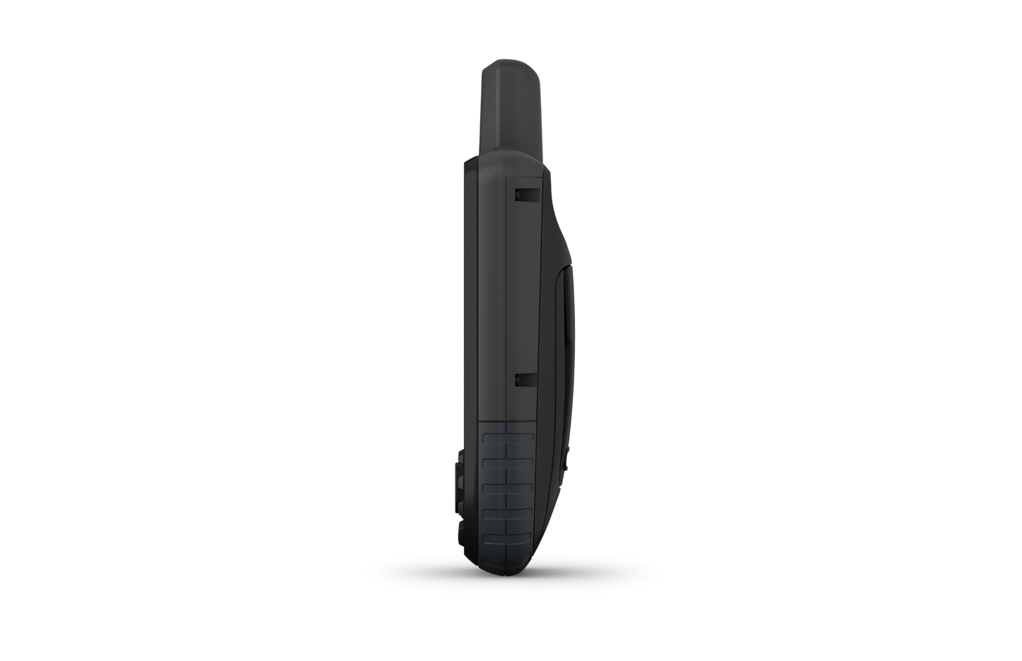
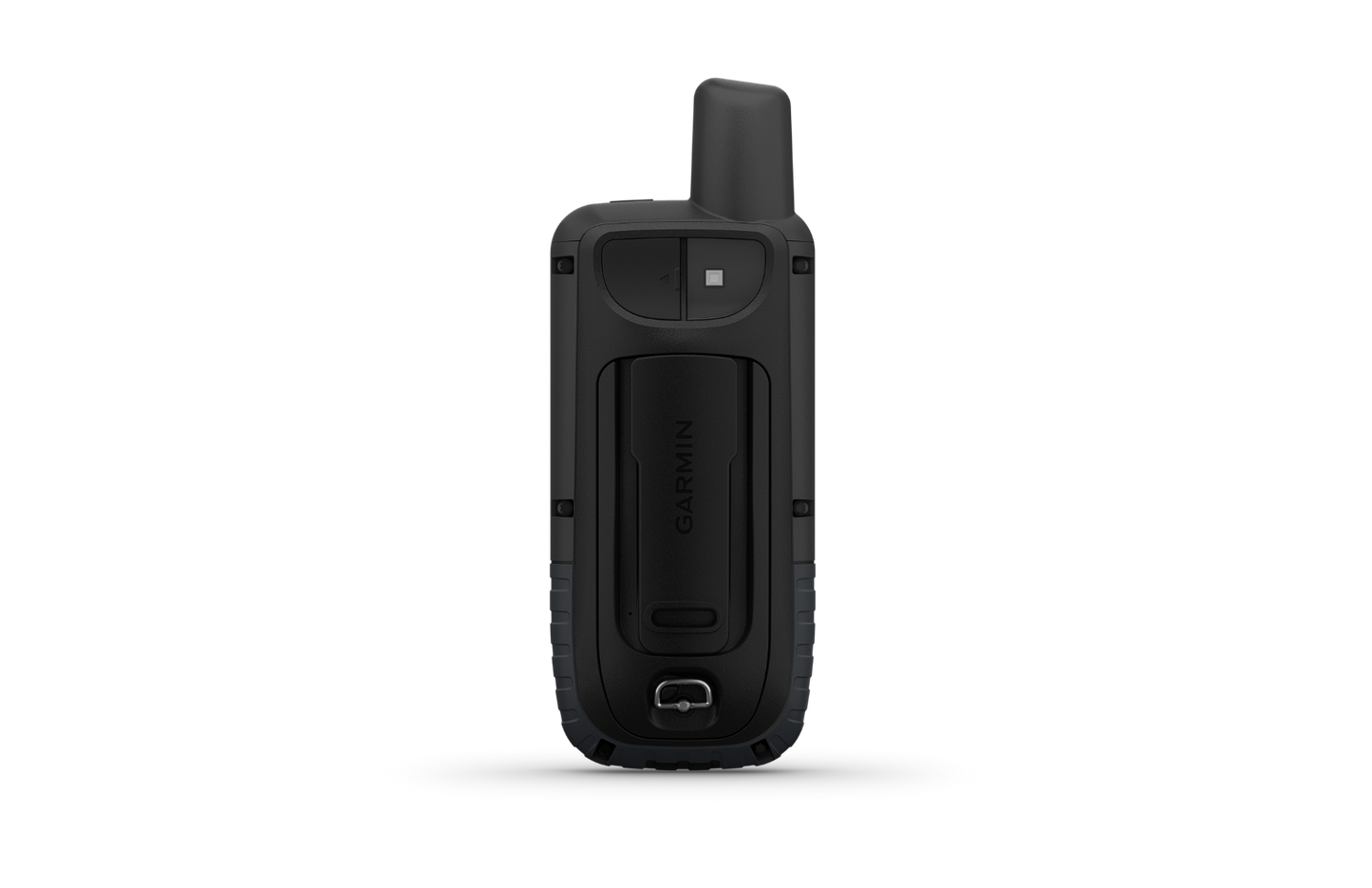
The GPSMAP 66st balances ruggedness with packability through thoughtful industrial design. The rubberized grip and compact profile fit comfortably in a shirt pocket or vest harness loop, reducing fatigue during long days in the field. Its antenna is integrated into the upper housing, eliminating the external stub that characterizes older models, while the recessed screen sits slightly inset to protect the display from drops.
- Thermally bonded polycarbonate body rated for military MIL-STD-810G thermal cycling and impact shock standards
- IPX7 waterproof rating withstanding submersion to 1 meter for 30 minutes, covering accidental river crossings or heavy rain
- Lightweight design at under 9 ounces, minimizing pack weight on long expeditions
- Textured rubberized grip provides secure handling in wet conditions and with gloved hands
- Integrated antenna housed inside the casing to reduce profile and eliminate a protrusion prone to breakage
- Single-piece silicone battery door eliminates loose compartment covers that can be lost or misaligned in the field
Final Verdict
The Garmin GPSMAP 66st is the standard choice for serious backcountry users who navigate without cellular coverage and require equipment that functions reliably in extremes. Its multisatellite architecture and integrated sensors eliminate the need for separate altimeters or compasses, while the preloaded mapping and BirdsEye imagery reduce dependency on external apps that consume smartphone battery. Choose this unit if you navigate remote terrain where a missed turn means hours of recovery, and accuracy matters more than screen size or battery gimmicks. Invest in the GPSMAP 66st today and replace guesswork with verified position and terrain awareness on every expedition.


